

About
Founded on a fire line. Built for forests, fire, and land.
Rogue Reconnaissance started on a two acre fire in 2016, with an infrared camera strapped to a drone.
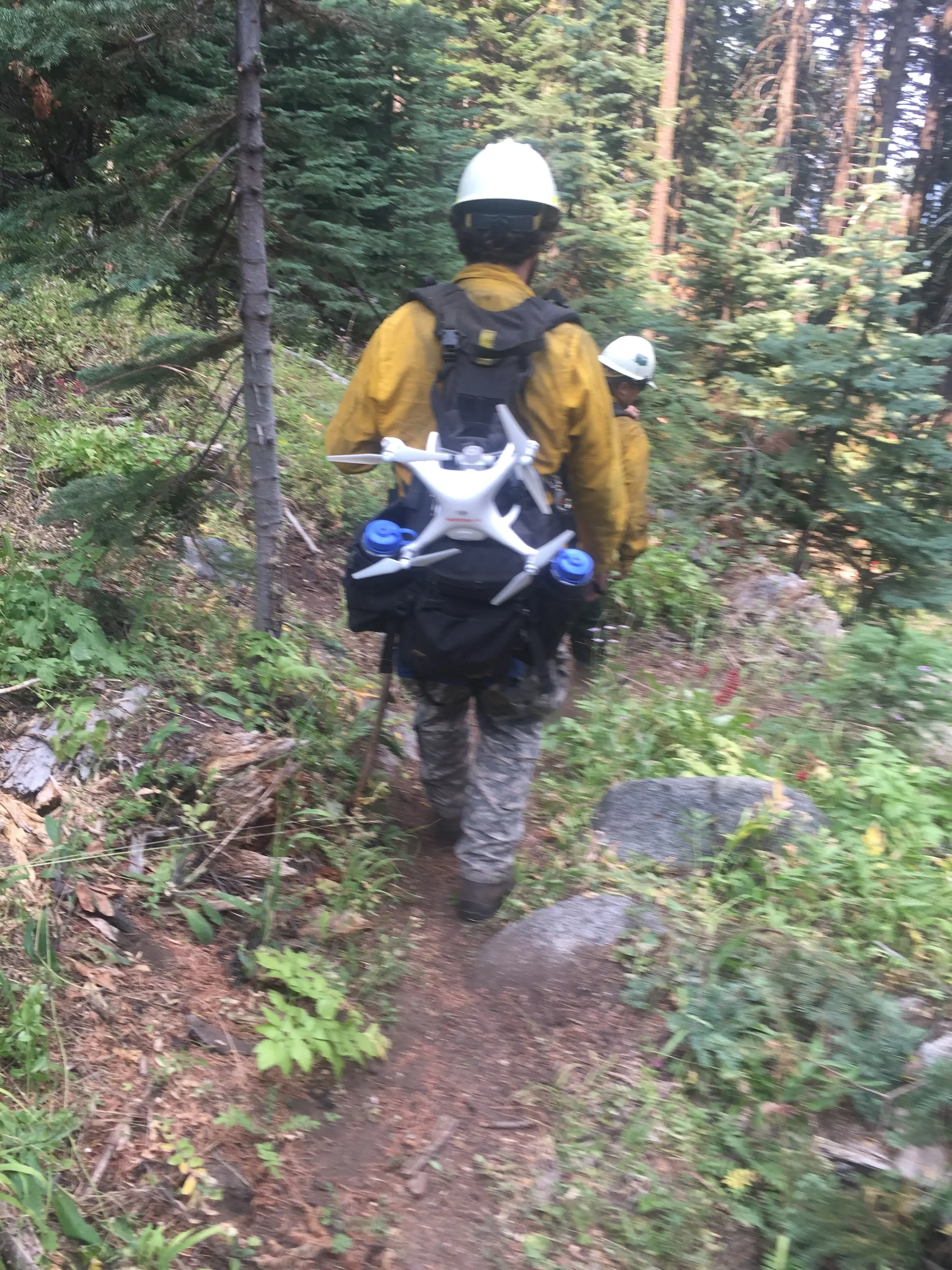
How it started
A small fire, two acres, on steep ground in southern Oregon in 2016. The incident commander ordered a crewed infrared flight because the terrain was too dangerous to send ground resources in on initial attack. Two wildland firefighters on that fire, both with a background in GIS and in flying drones, had the same thought at the same time: can we put an infrared camera on the drone? The answer was yes. Rogue Reconnaissance is the company that came out of it.
We have flown UAS on prescribed fire since 2016 and on active incidents since 2019, when the Oregon Department of Forestry first ordered us under a Call When Needed agreement. Since then we have flown night infrared every fire season, and the rest of the year the same aircraft and sensors go to forestry, fuels, and terrain, and the rest of the year the same aircraft and sensors go to forestry, fuels, and terrain.
Who is flying
Eli Polsky started in the woods as a fisheries and biological technician with the Forest Service, moved to the fire line in 2012, and has flown fire since 2016. He carries FFT1, GISS, and UASD as an Administratively Determined resource with the Forest Service, holds an FAA Part 107 certificate from November 2016, and holds Certificates of Authorization for Class D and Class E2 airspace. His degree is in Environmental Studies and Land Use Planning, with a minor in Geography, from Southern Oregon University, which profiled his fire mapping work in 2024.
The analysis is done here too. Crown delineation, species classifiers, point cloud classification, pipelines, and report layout are all built in house. When a job needs a specialist, a botanist on a corridor or a licensed surveyor on a boundary, we bring one on.
How we treat accuracy
We report the honest number. Classification products are validated against trees a person checked on the ground, and the report says which classes are weak. Terrain products ship with check points and their residuals. On a fire map a return that looks warm but has not been confirmed is labeled possible heat, not hotspot.
Credentials
- FAA Part 107 remote pilot, certificated November 2016
- Red carded wildland firefighter: FFT1, GISS, UASD
- Administratively Determined resource, US Forest Service
- Oregon Department of Forestry Call When Needed UAS resource since 2019
- Certificate of Authorization holder, Class D and Class E2 airspace
- SAM.gov registered federal contractor, UEI RUE6PBWSLAN6, CAGE 9DDE5
- Insured remote pilots
- Founder, UAS Wildland Fire Collaborative, a 501(c)(3)
Two sister organizations
Hawaii work runs through Hawaii Mapping, our sister company. The UAS Wildland Fire Collaborative is the nonprofit we founded to standardize UAS fire data for every pilot on a fire. The processing pipeline was designed and built at Rogue Reconnaissance and handed to the Collaborative, where it now serves state, contractor, and district pilots alike. This site is the commercial practice.
Teaching and industry
- Presenter, Oregon Society of American Foresters annual meeting, Ashland, 2024: drone LiDAR and multispectral for post harvest assessment and downed woody debris
- Instructor, A450 and S373, Salem, Oregon, 2026: UAS flight instruction for visiting Taiwanese firefighters
- The UAS Wildland Fire Collaborative we founded was selected for the Oregon UAS Innovation Challenge, Cohort 3, Oregon UAS Accelerator, 2025
- Contractor performance rating of Exceptional from the Oregon Department of Forestry for 2019 to 2022
- Letters of support on file from US Forest Service Region 6 and four national forests, 2024
- Guest instructor and live demonstration lead, Southern Oregon University remote sensing courses, and capstone mentor for wildland fire and wildland urban interface projects
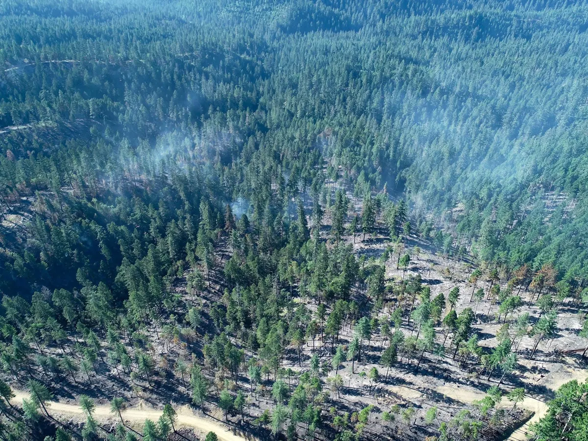
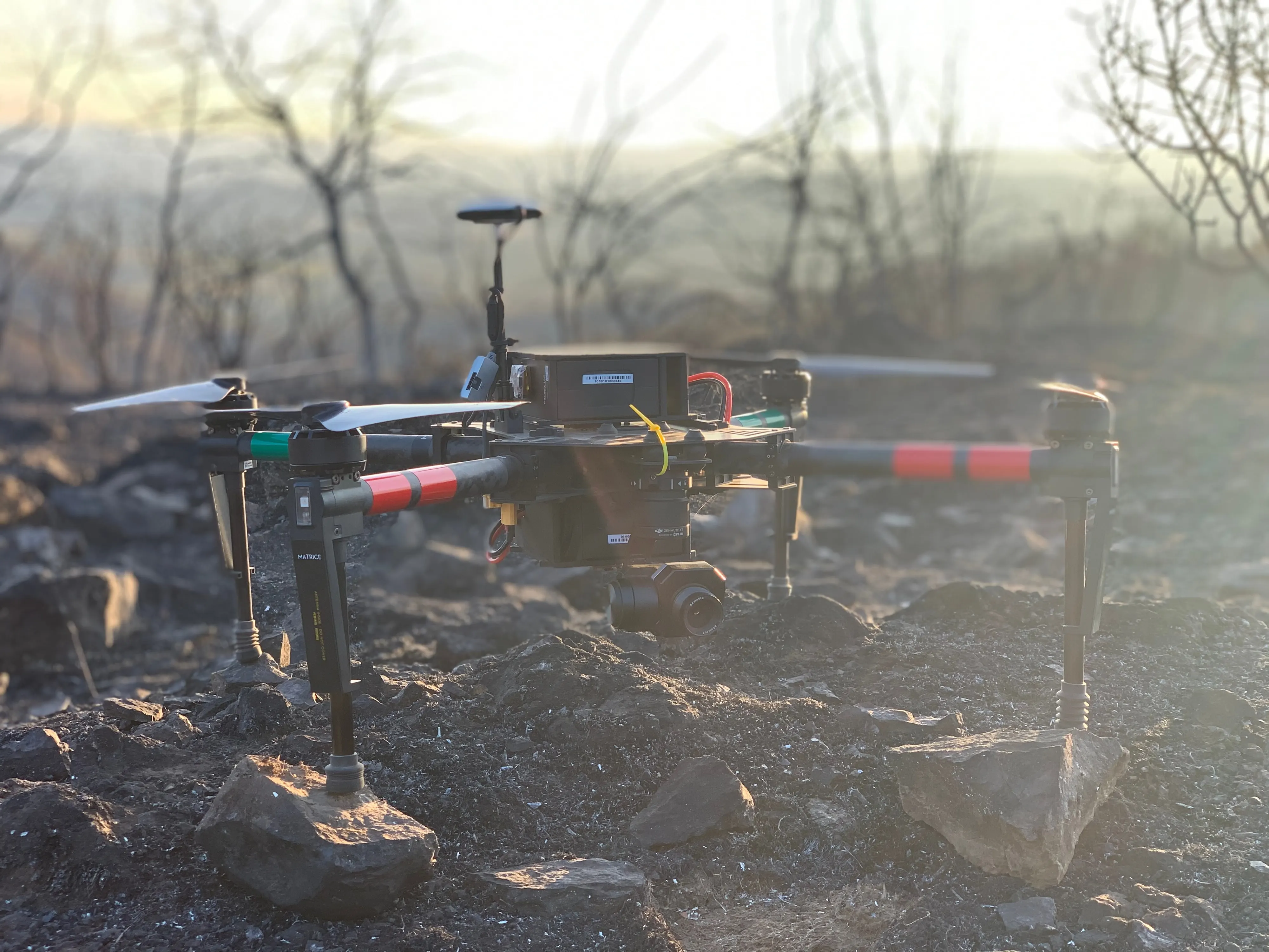
Based in Medford, Oregon. Working wherever the job is.
Serving Oregon and the Pacific Northwest, Missouri, and Hawaii through Hawaii Mapping.
Email info@roguerecon.net or call 541 708 2151.