

Capabilities
Sensors and methods
Every lane on this site runs on the same four capabilities. Here is what we fly, how we control it, and what comes out.
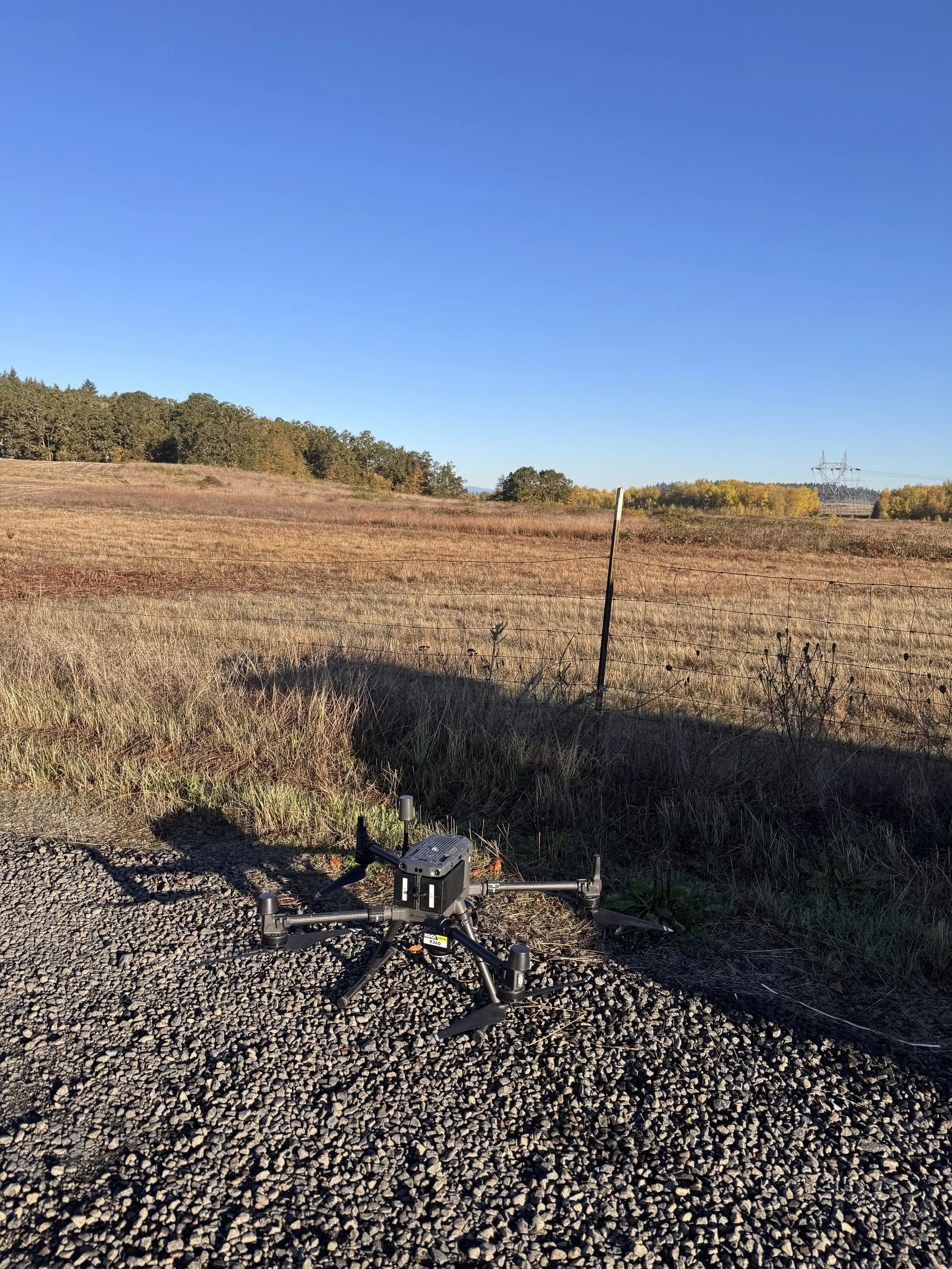
LiDAR
Bare earth under the canopy, and every tree above it.
Read moreMultispectral
Five bands, calibrated, and a classifier that reports its own accuracy.
Read more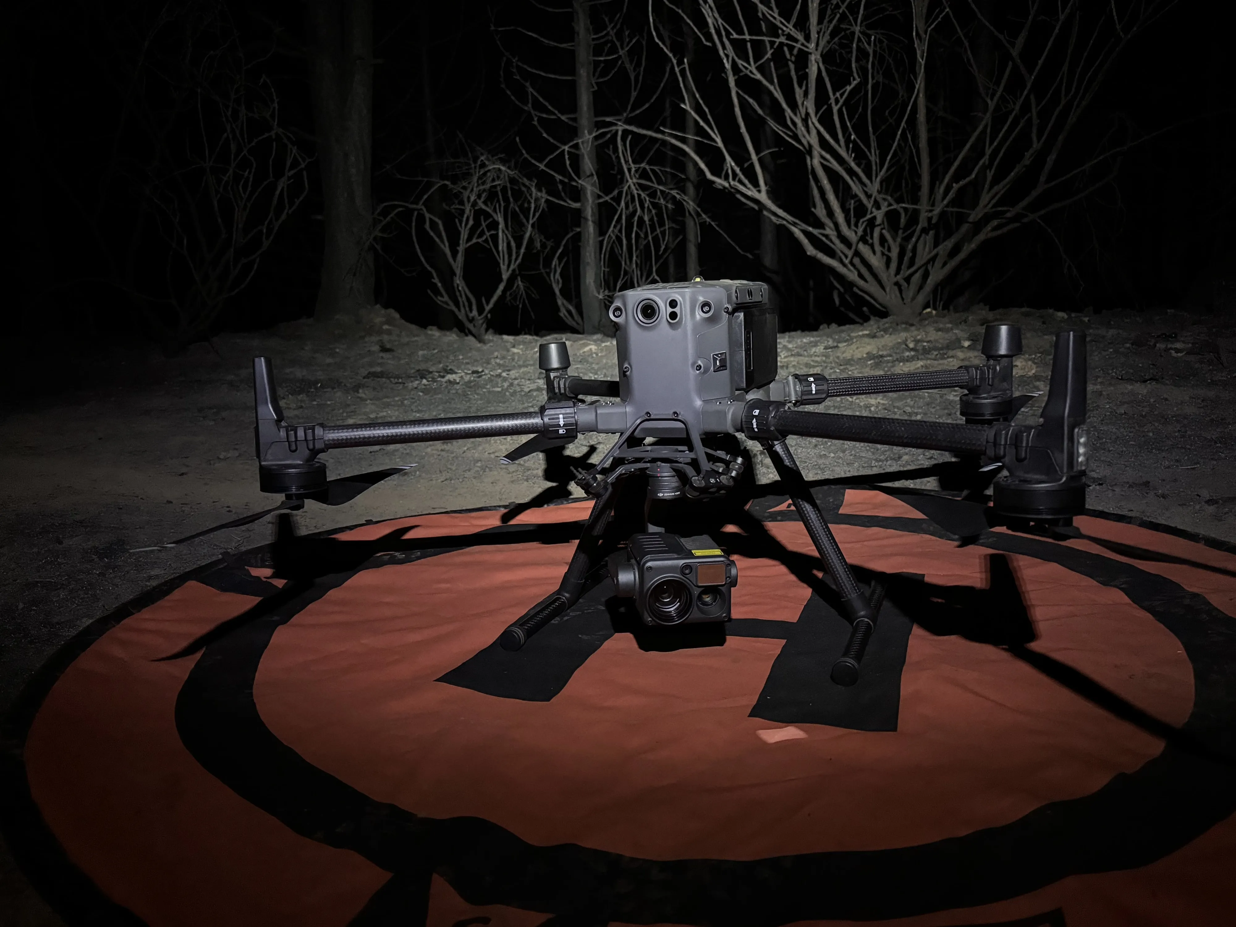
Thermal
A temperature in every pixel, flown as a mapping mission.
Read more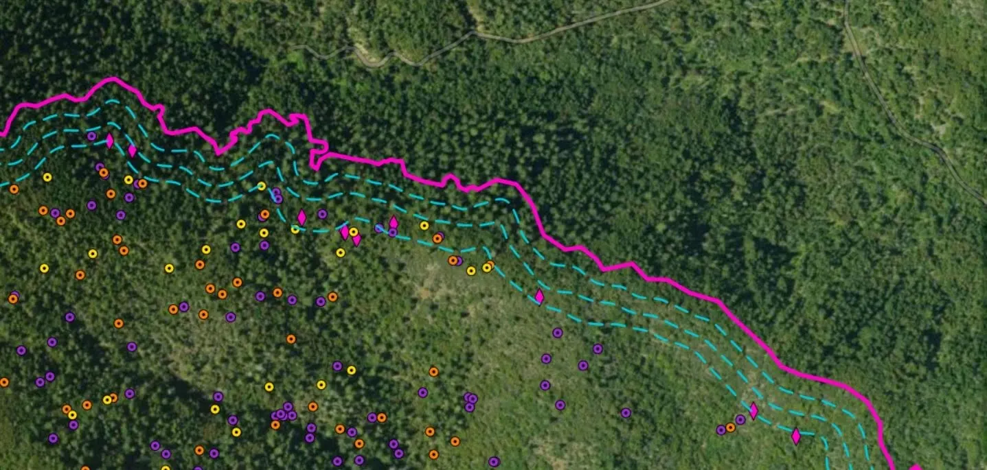
GIS and Automation
The scripts, forms, and dashboards that turn a flight into a report nobody has to build by hand.
Read moreHow we work
How we control and check the data
- PPK and ground control
- Emlid RS3 base on a known point, coordinates through CSRS PPP, trajectories processed PPK in Inertial Explorer.
- Accuracy checks
- Independent check points reported with residuals on terrain products. Ground truth and cross validation on classification products.
- Processing stack
- ArcGIS Pro and arcpy, Global Mapper Pro, Agisoft Metashape Professional, Pix4D, R with lidR and ForestTools and ranger, Python with PDAL.
- Delivery formats
- Shapefile, file geodatabase, KMZ, LAS and LAZ, GeoTIFF, DXF, PDF, and hosted feature services, in the coordinate system you specify.
Tell us what you need to know about your ground.
Talk to Eli
Email info@roguerecon.net or call 541 708 2151.