

Missouri
Drone LiDAR and mapping across Missouri.
Line corridors for electric cooperatives, hardwood timber, river bottom farms, and building sites. The same aircraft, sensors, and products we fly in Oregon, flown in trips across Missouri.
What we fly in Missouri
The line, the forest, the farm, and the site
A Missouri corridor, stand, farm, or building site gets the same flight and the same products as the Oregon work on this site. Drone LiDAR for the ground, the trees, and the wires. Multispectral for what is alive and what is not. A current orthomosaic to draw on. Products come back in the formats the cooperative, the forester, the engineer, or the planner already uses. Tell us where the ground is and roughly when, and we plan the trip around it.
- Vegetation management for electric cooperatives: corridor LiDAR, clearance and encroachment maps, danger tree lists with height and health, storm damage assessment
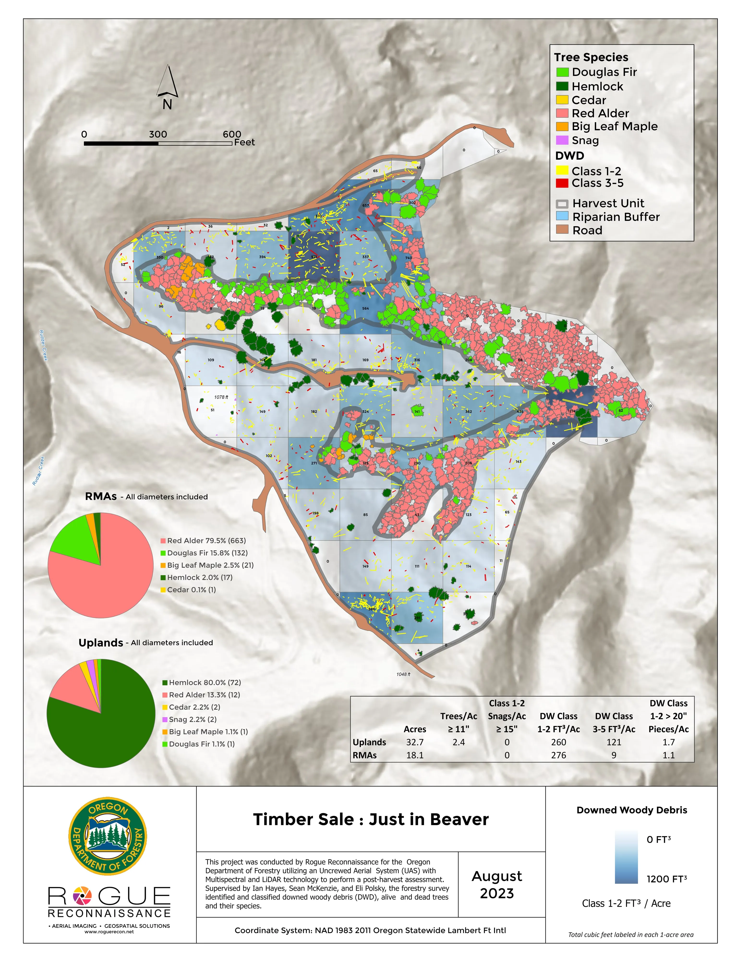
- Post harvest and forest health assessment, tree by tree, with downed woody debris by decay class
- Design ready terrain and canopy data for architects, engineers, and landowners, in the coordinate system the engineer asks for
- Farm planning maps: drainage low points and flow paths, slope and aspect, canopy, and plan overlays on a current orthomosaic
- Riparian and floodplain mapping for watershed groups, levee districts, and conservation districts
- St. Louis
- Saint Charles
- Kansas City
- Springfield
- Columbia
- Jefferson City
- Joplin
- Cape Girardeau
Electric cooperatives
Line corridors, tree by tree
Missouri's electric cooperatives keep thousands of miles of line through timber, and the trees decide the outage numbers. We fly the corridor with LiDAR and multispectral in one pass. Back comes a clearance map against the conductor, a danger tree list with every tree's height, lean, and health class, and the encroachment polygons the crew or the contractor works from. After a storm the same flight finds the broken spans and the trees on the line before a truck rolls.
The program behind it runs today. Our sister company Hawaii Mapping built and runs the geospatial hub for a utility vegetation management program in Hawaii, with field crews, contractors, and the utility working from the same map. The same tools, the same reporting, and the same pilot come to Missouri.
Where the work is
Missouri, region by region
St. Louis and Saint Charles County
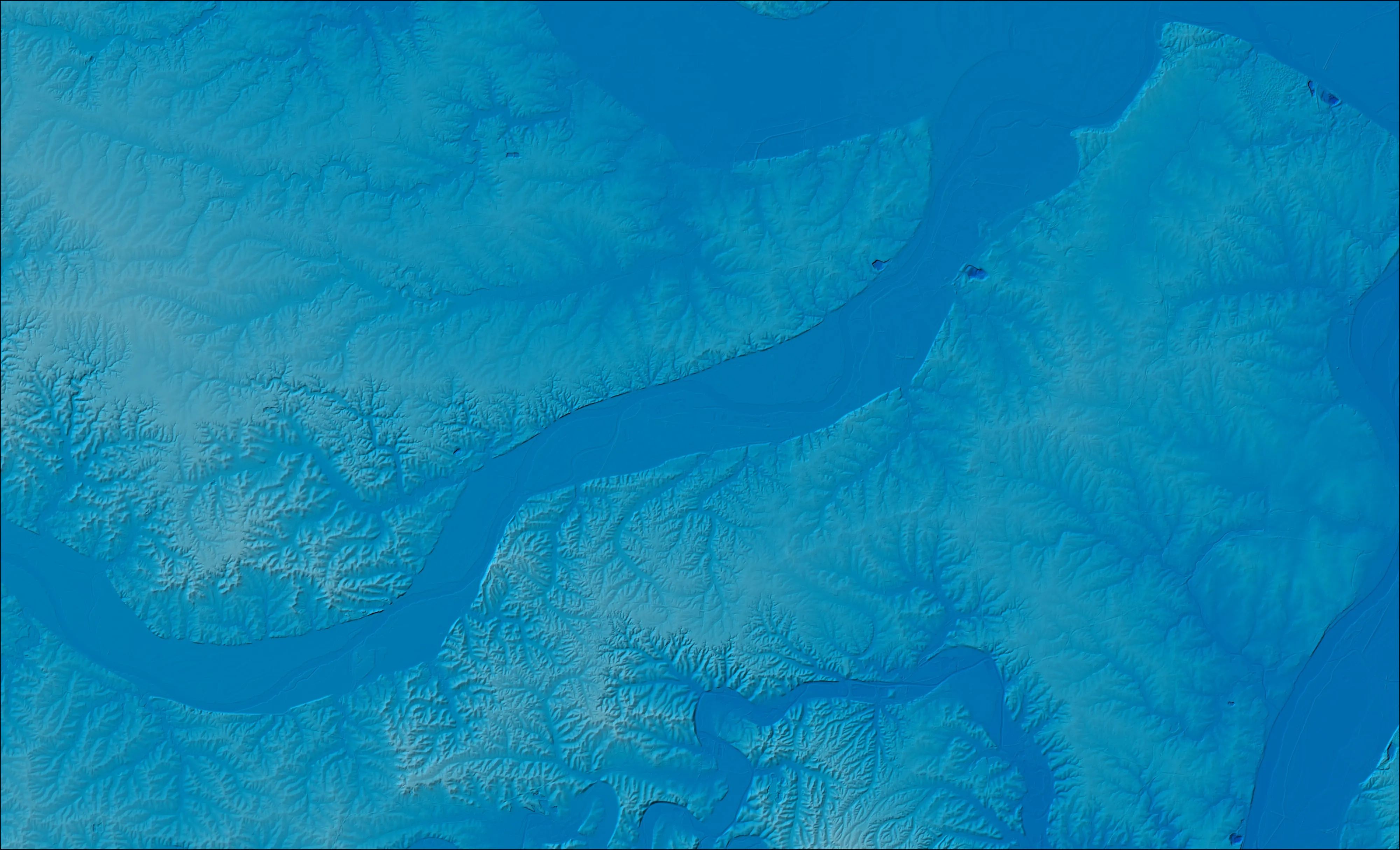
Site design terrain for the suburbs west of the city: contours, bare earth, planimetrics, and a current orthomosaic in Missouri State Plane East, in the formats the civil engineer imports. Floodplain and riparian mapping along the Missouri and the Mississippi for levee districts, conservation districts, and stream projects.
Kansas City
Design ready terrain and canopy data for architects, engineers, and developers in Jackson, Clay, Platte, and Cass counties, and farm planning maps for the counties around the metro. Delivered in Missouri State Plane West, NAVD88 feet, unless the engineer asks for something else.
Springfield, Joplin, and the Ozarks
Oak and hickory timber, most of it in private hands. Post harvest assessment after a sale, tree by tree health, and downed woody debris by decay class. Cattle pasture and pond siting. Bare earth under the canopy shows the sinkholes and springs before anyone builds. Line corridors for the cooperatives that serve the hills.
Columbia and Jefferson City
Missouri River bottom farm ground: drainage low points, flow paths, slope, and plan overlays on a current orthomosaic. Hardwood stands north and south of the river. Agency and university ground in the middle of the state.
Cape Girardeau and the Bootheel
Row crop ground with drainage to plan, and levee and ditch districts along the Mississippi. Riparian and floodplain products from LiDAR: relative elevation, one foot contours, and the flow paths that decide where water goes in a wet spring.
Lake of the Ozarks and Rolla
Waterfront and hillside sites with slope to respect. Terrain and canopy for the design team before the plan is drawn, and line corridors through the timber around the lake for the cooperatives that keep the lights on there.
Forestry in Missouri
Ash before the borer, oak before the decline
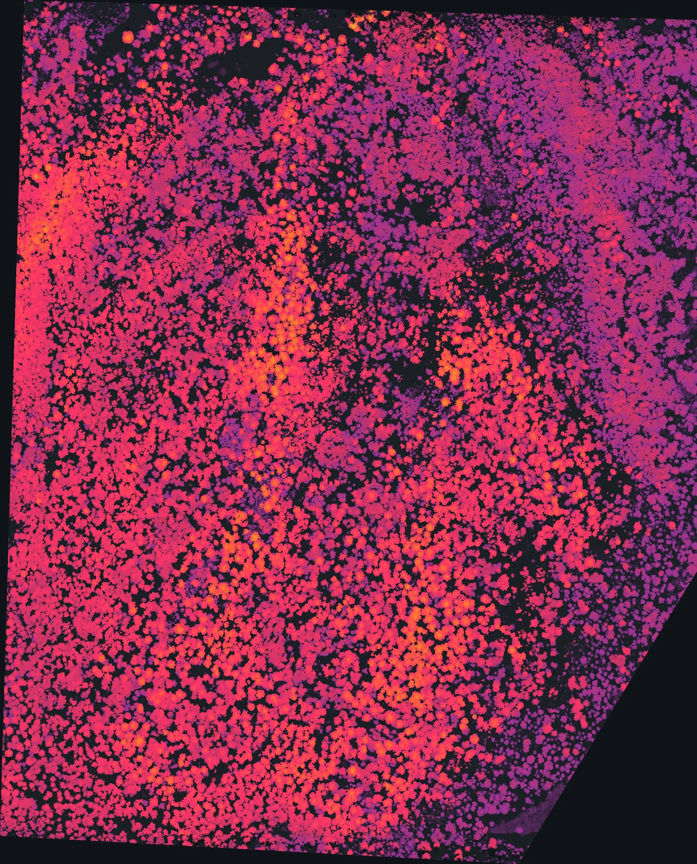
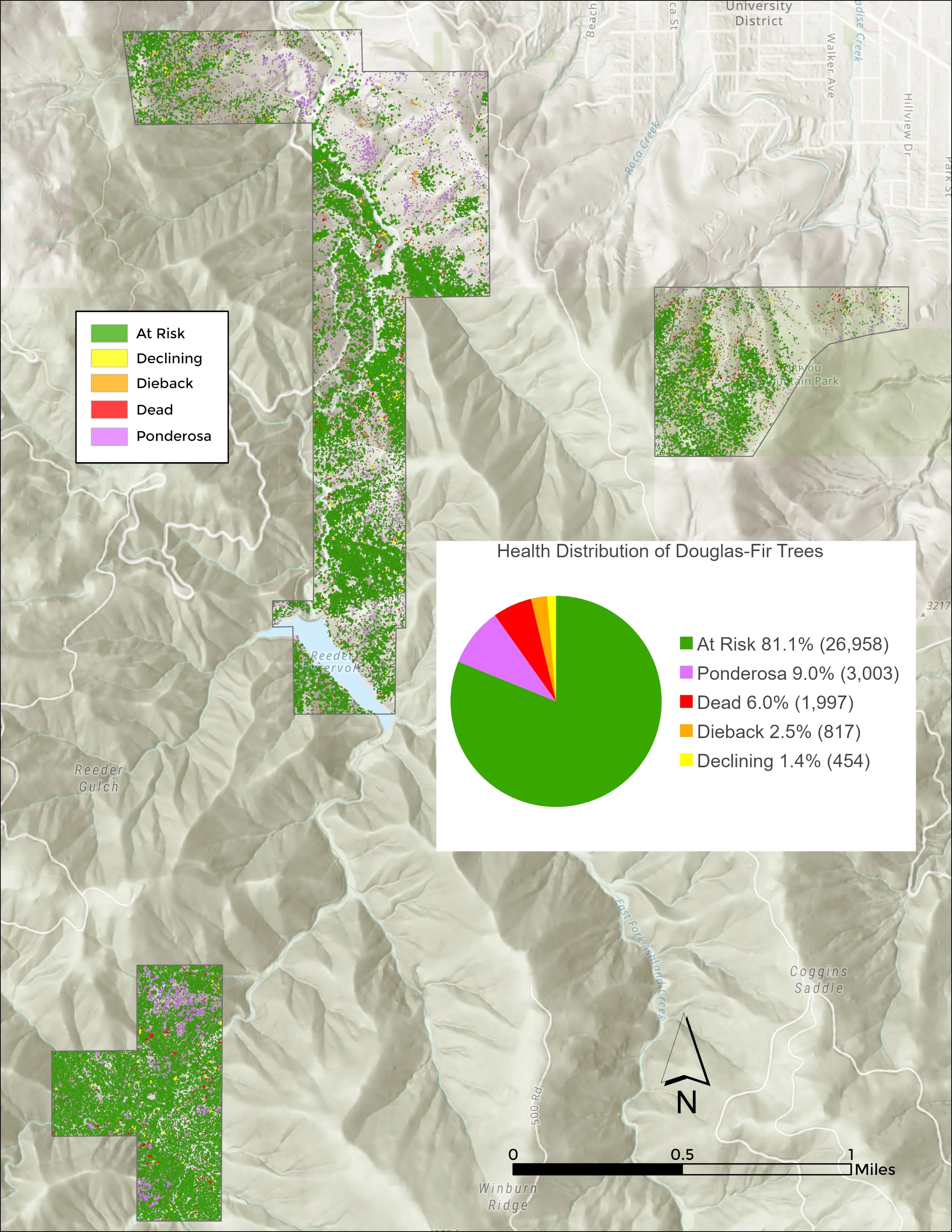
Emerald ash borer has been in Missouri since 2008. The crown by crown ash inventory we built for the City of Eugene scored 82 percent overall accuracy on more than 300 ground truth crowns. A Missouri city, county, or cooperative can run the same method on its green and white ash before the borer chooses for them. Oak decline shows in the multispectral bands before the crown thins. We class every tree at risk, declining, dieback, or dead, the way we did for the City of Ashland, so the forester spends the budget on the stand that needs it first.
After a timber sale, every log on the unit gets delineated, measured, and classed by decay from one flight, the product we delivered to the Oregon Department of Forestry on a 2023 timber sale unit.
What we map
Three lanes, in Missouri
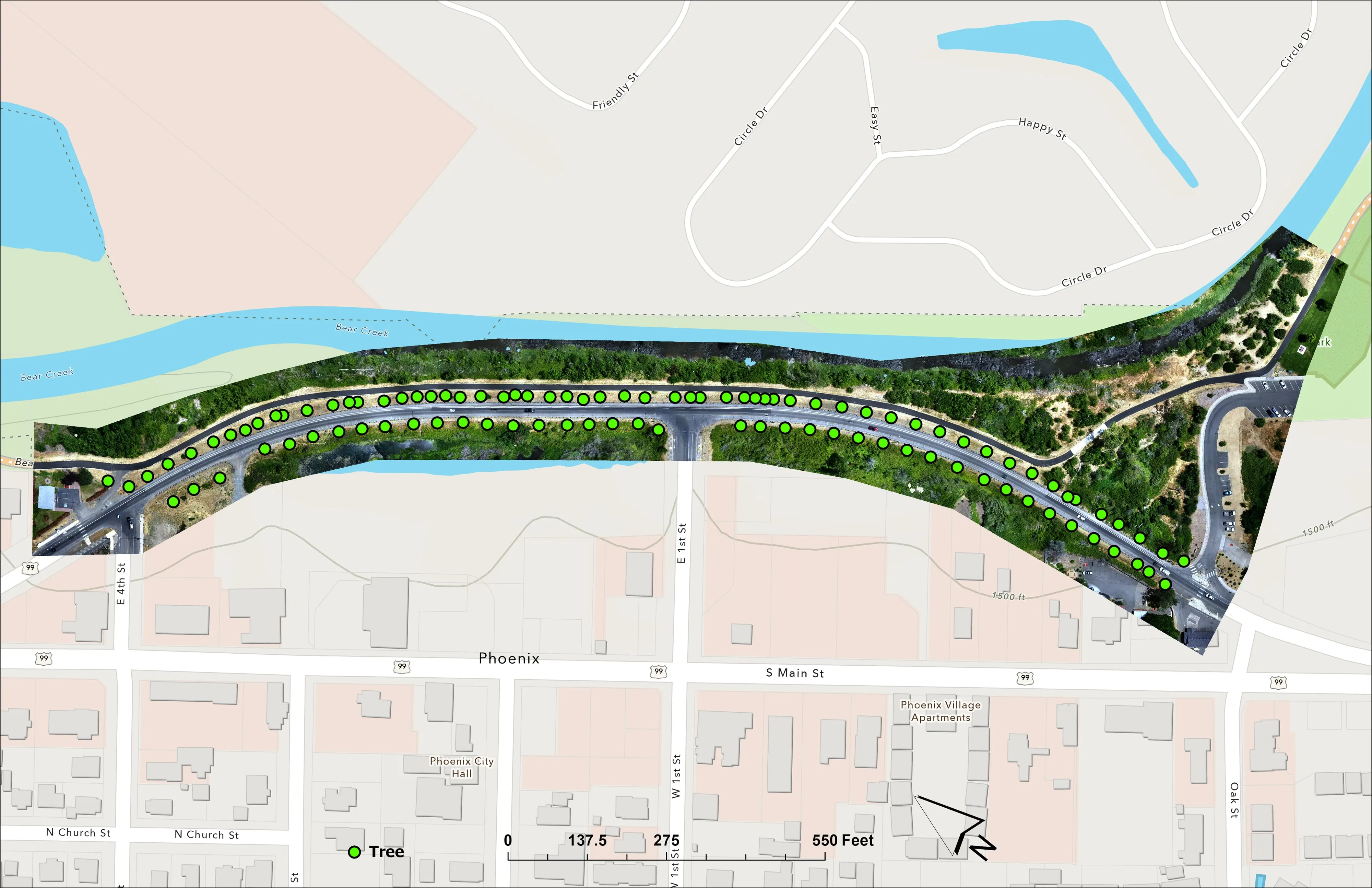
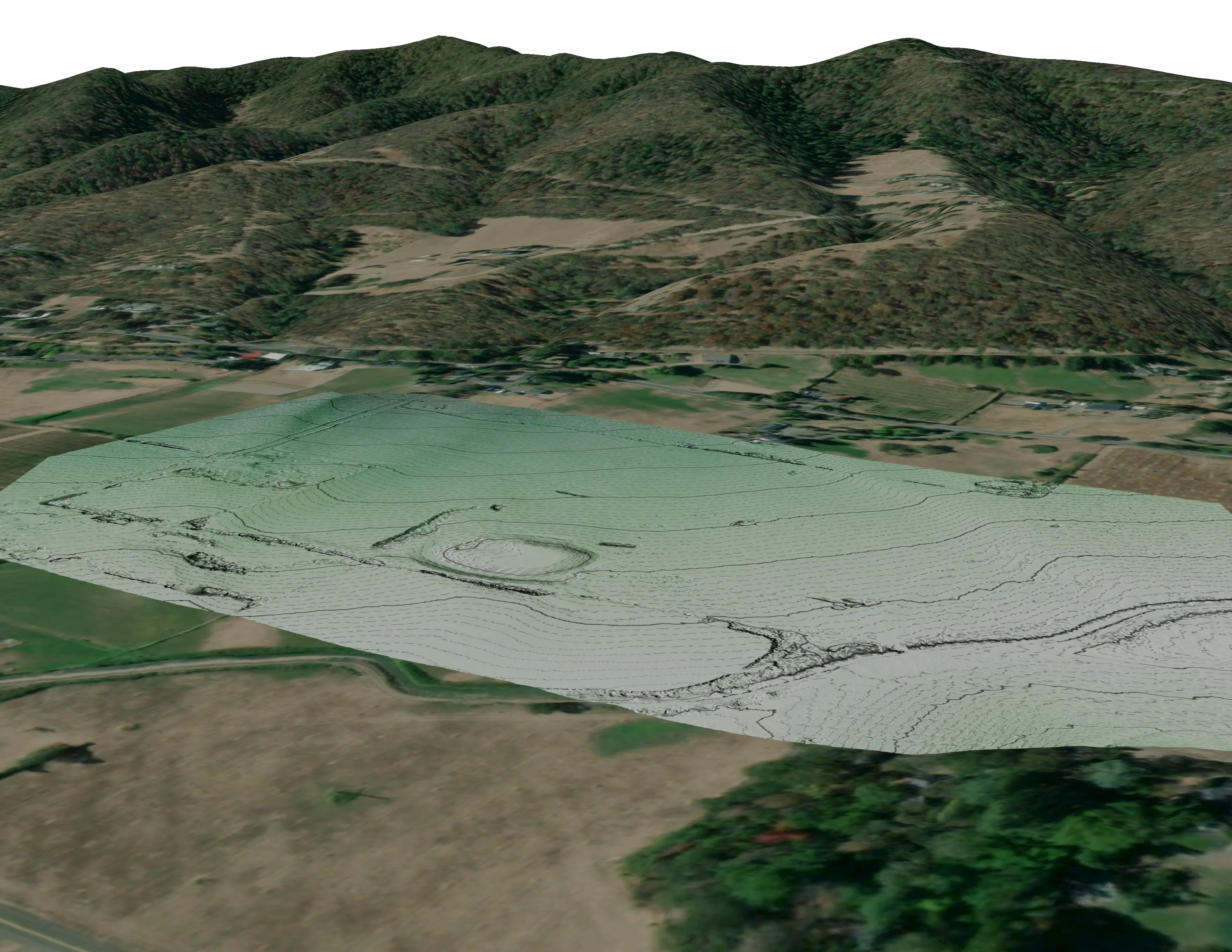
How a Missouri job works
Trips, control, and the coordinate system
We fly Missouri in trips, so a corridor near Springfield and a farm near Columbia can share one. The base station sits on a known point or gets processed with precise point positioning, so the products land in Missouri State Plane and NAVD88 feet without local control on the ground. Every deliverable ships with check points and the residuals, so the engineer can see the accuracy before anyone designs against it. When a job needs a licensed surveyor, we bring one on.
Let's talk about your Missouri project.
Tell us the ground, the county, and the season. We will answer with what we would fly, what comes back, and when.
Email info@roguerecon.net or call 541 708 2151.