

Farm Planning
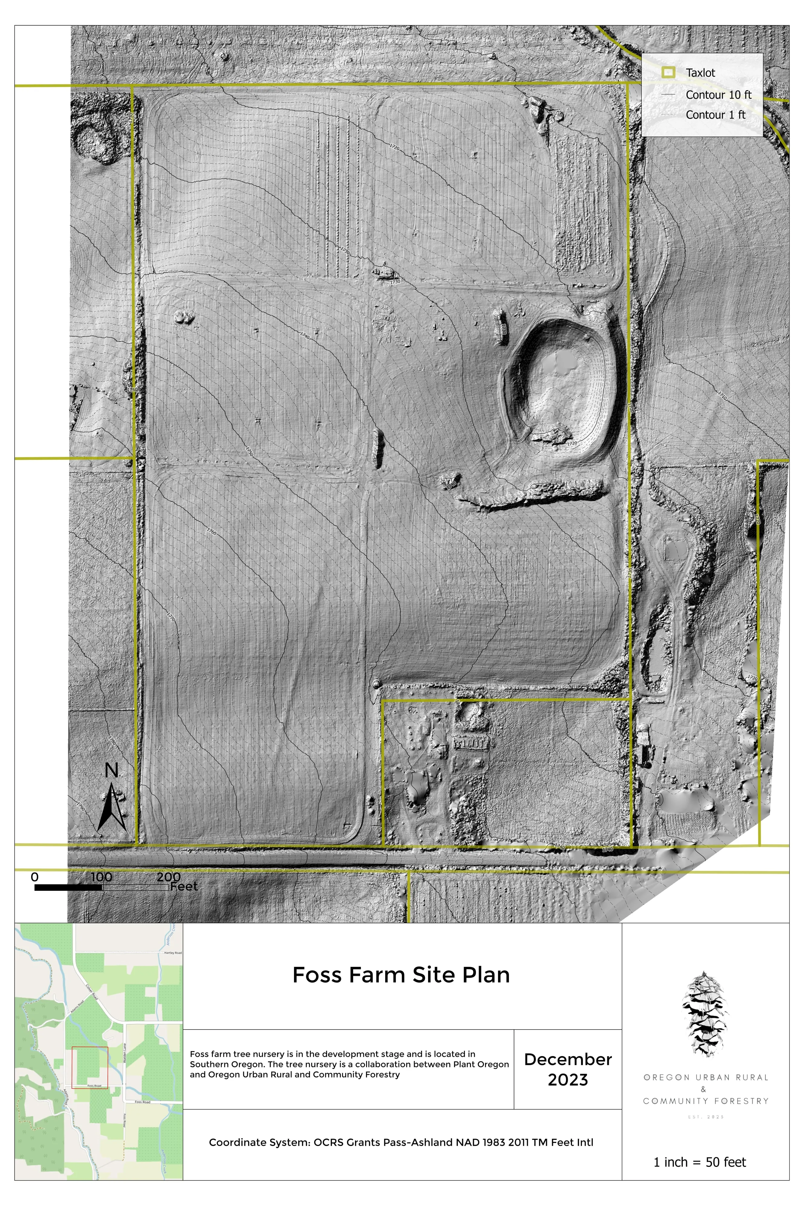
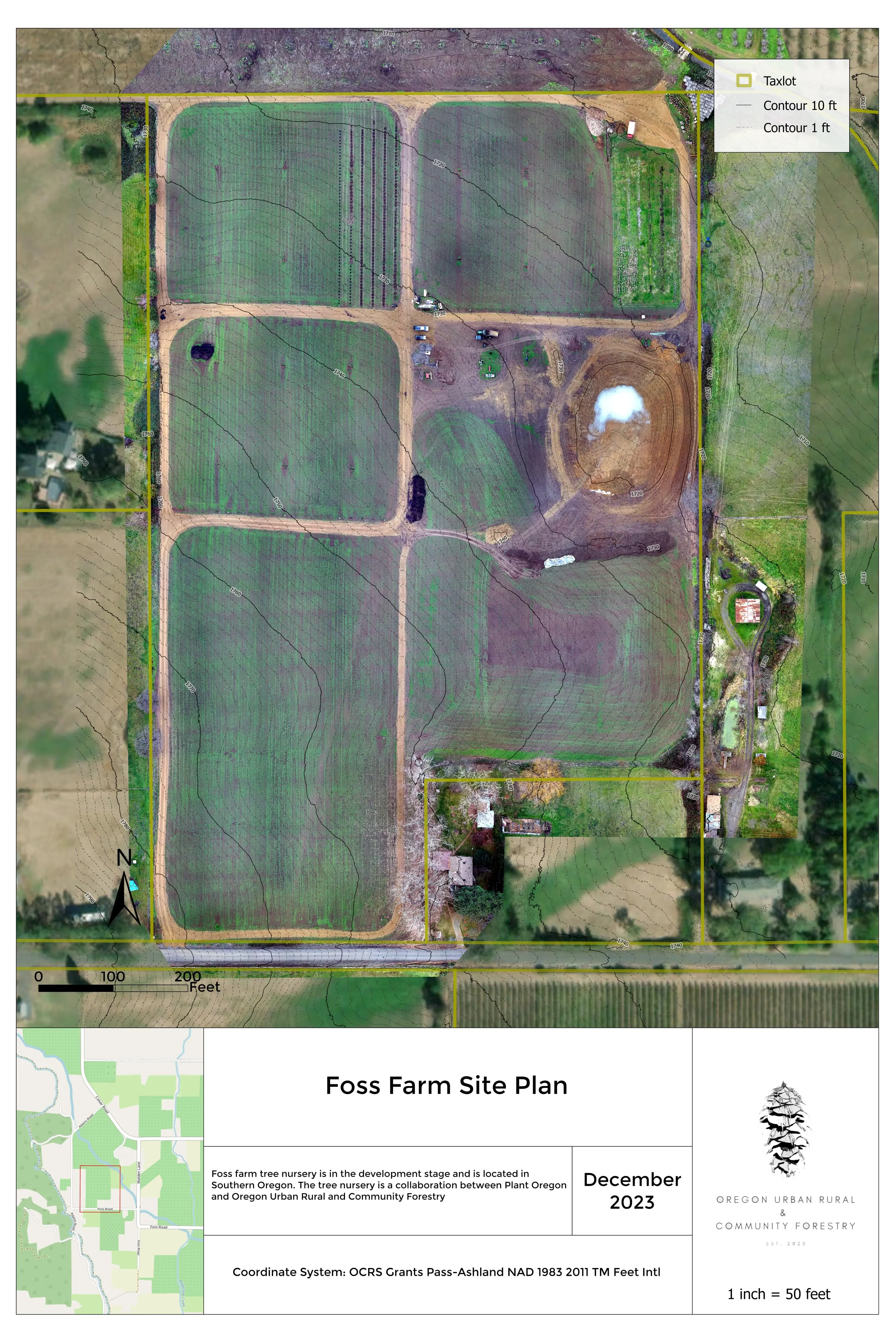
Planning data for the whole farm, from the air.
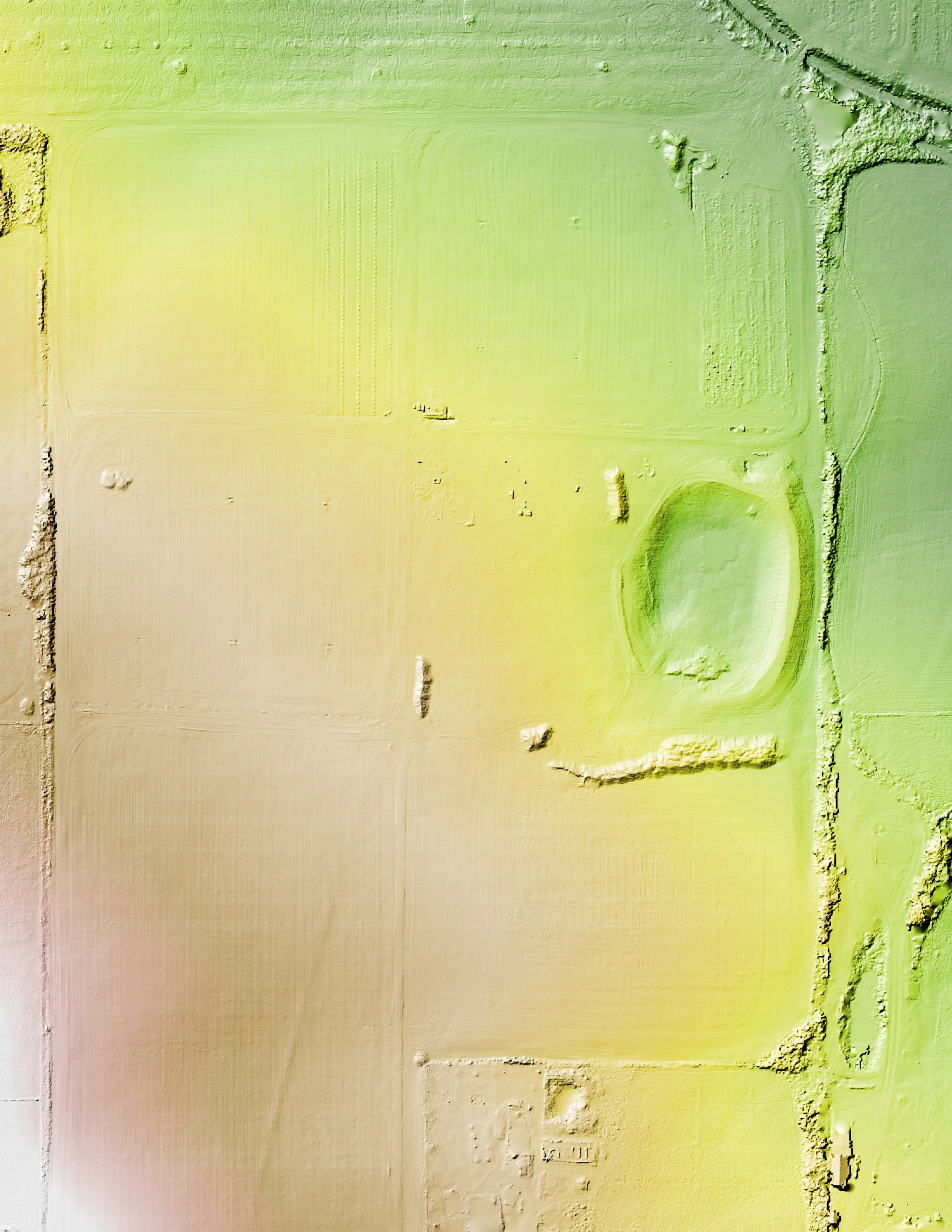
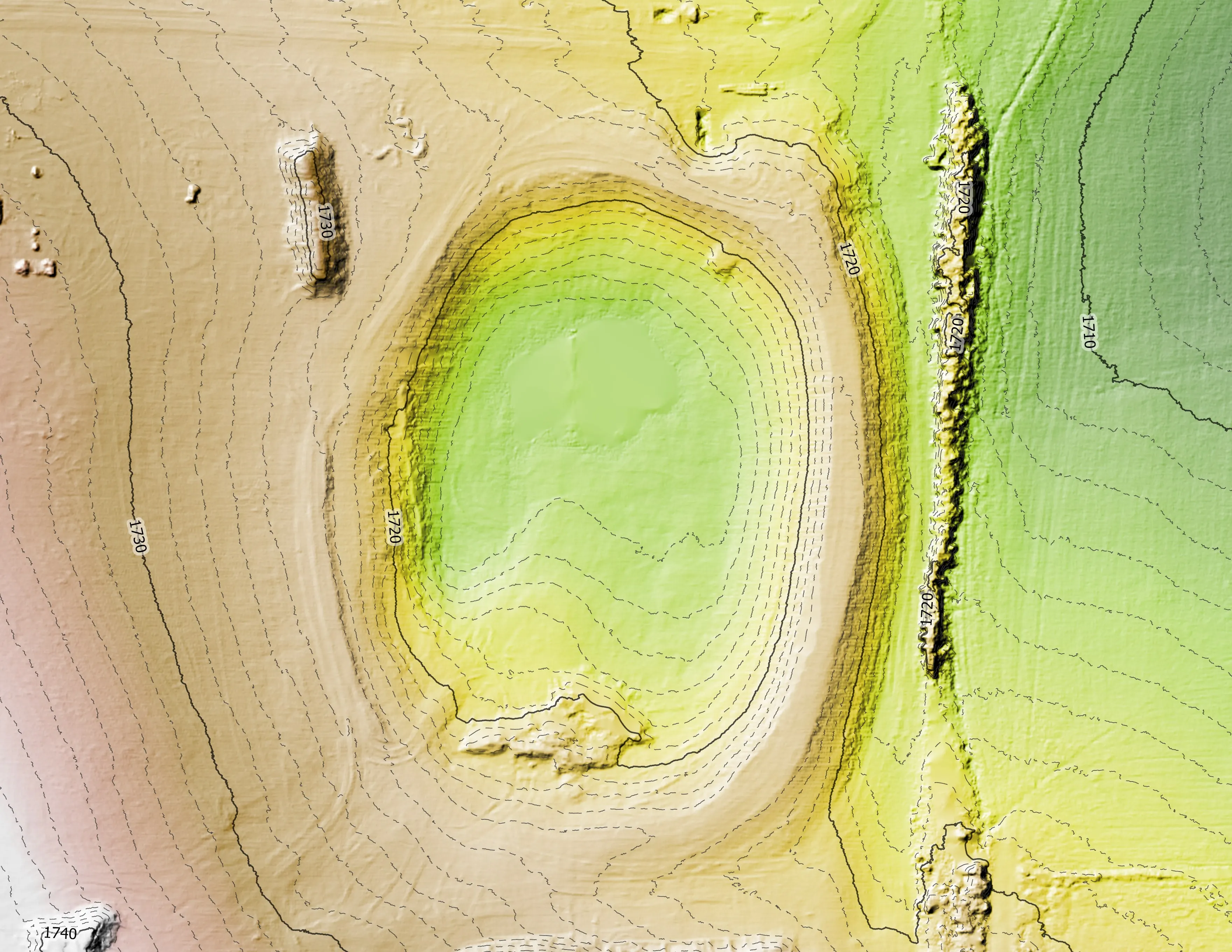
Terrain, drainage, sun, and canopy for farm layout and conservation planning.
What you get
The whole farm on one current map
Terrain, drainage, sun, and canopy on a current ortho of your own ground, with the plan drawn on it. An NDVI baseline where multispectral is flown.
How it is used
Decisions the whole family or crew can see
- Field and orchard layout on the slope and aspect that is really there
- Irrigation and drainage concepts from the low points and flow paths
- Access and fencing lines drawn on a current ortho
- Conservation plan support with the terrain and canopy data the plan asks for
- A shared map everyone works from, in the office and on a phone in the field
The sensors and methods behind this lane:
Let's talk about your farm.
Talk to Eli
Email info@roguerecon.net or call 541 708 2151.