

Property
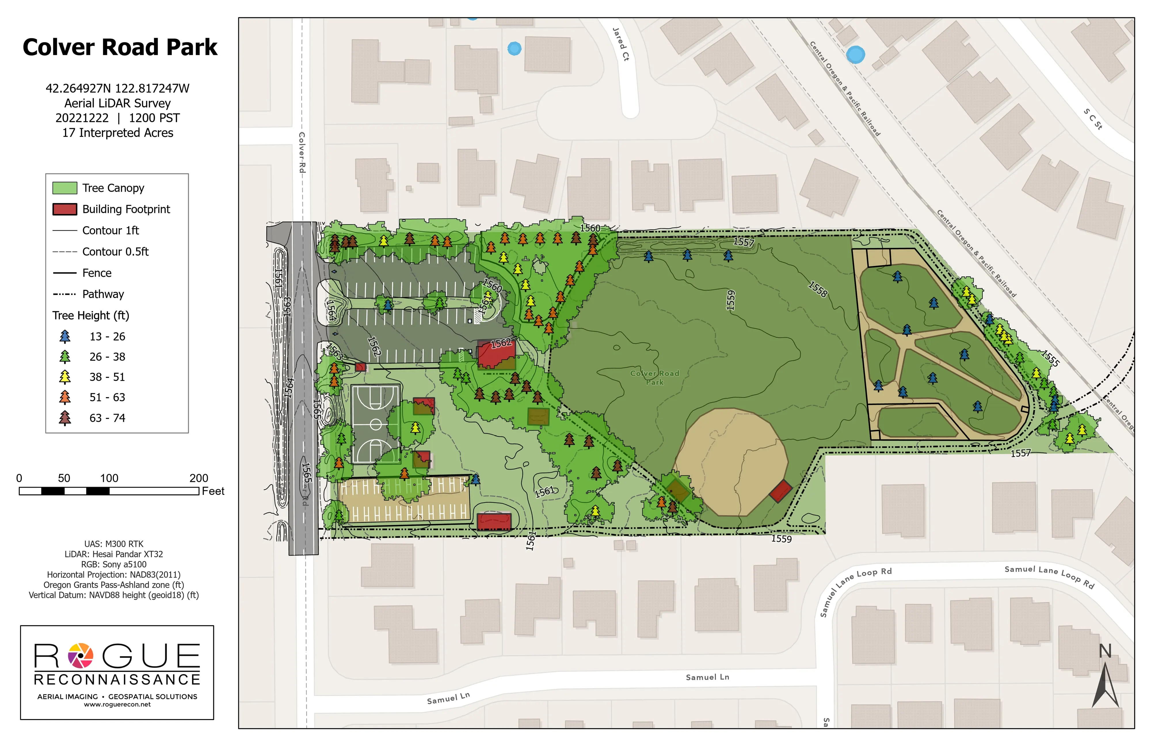
Design ready terrain and canopy data for architects, engineers, and landowners.
Everything a design team needs to site, grade, and plan before anyone breaks ground.
What you get
The terrain and the trees, before anyone breaks ground
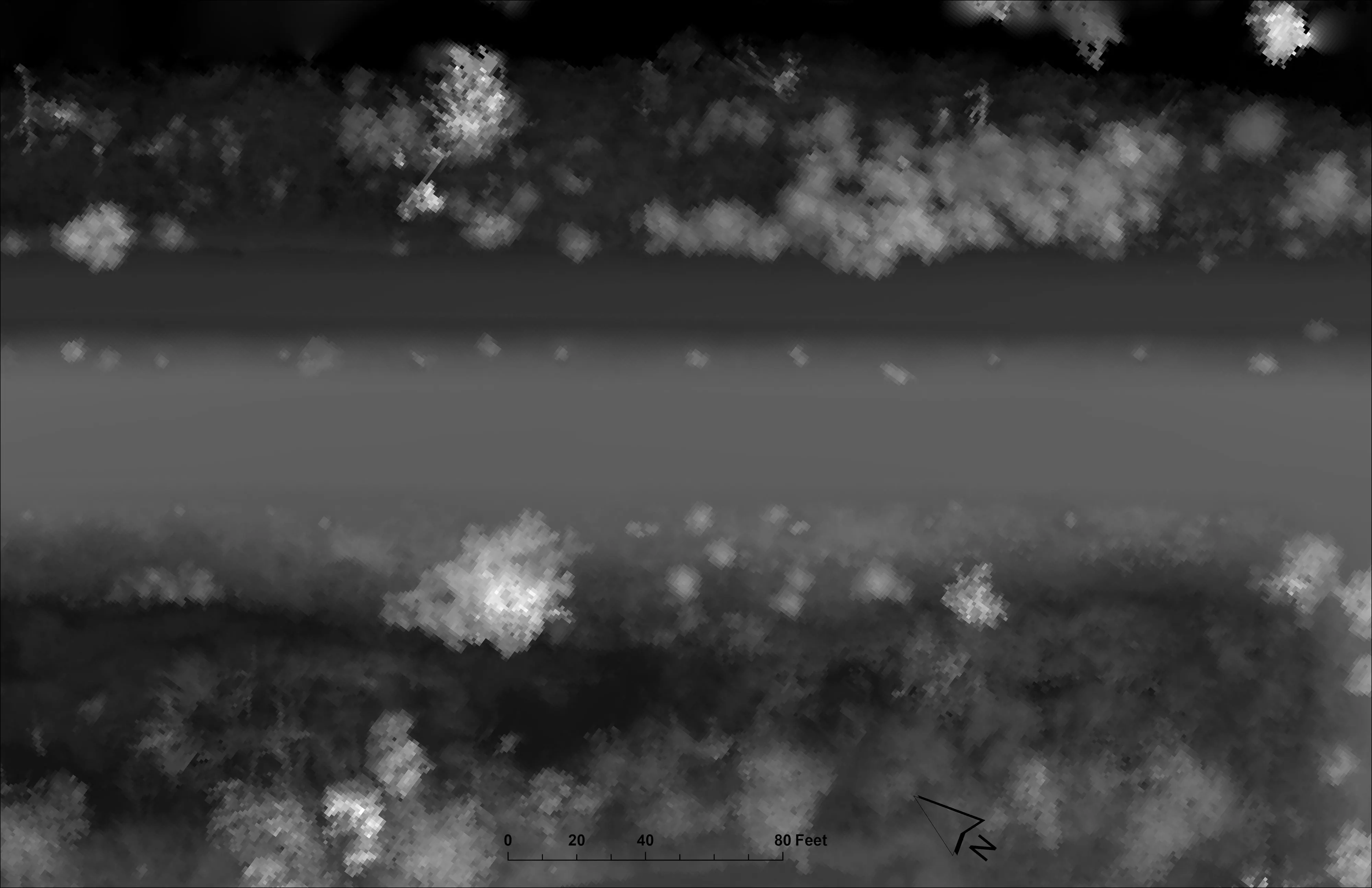
Orthomosaic, elevation model, surface model, canopy height model, contours at the interval your engineer asks for, hillshade, slope and aspect, and tree points with heights. PPK controlled with check points, delivered in the coordinate system your engineer specifies.
-
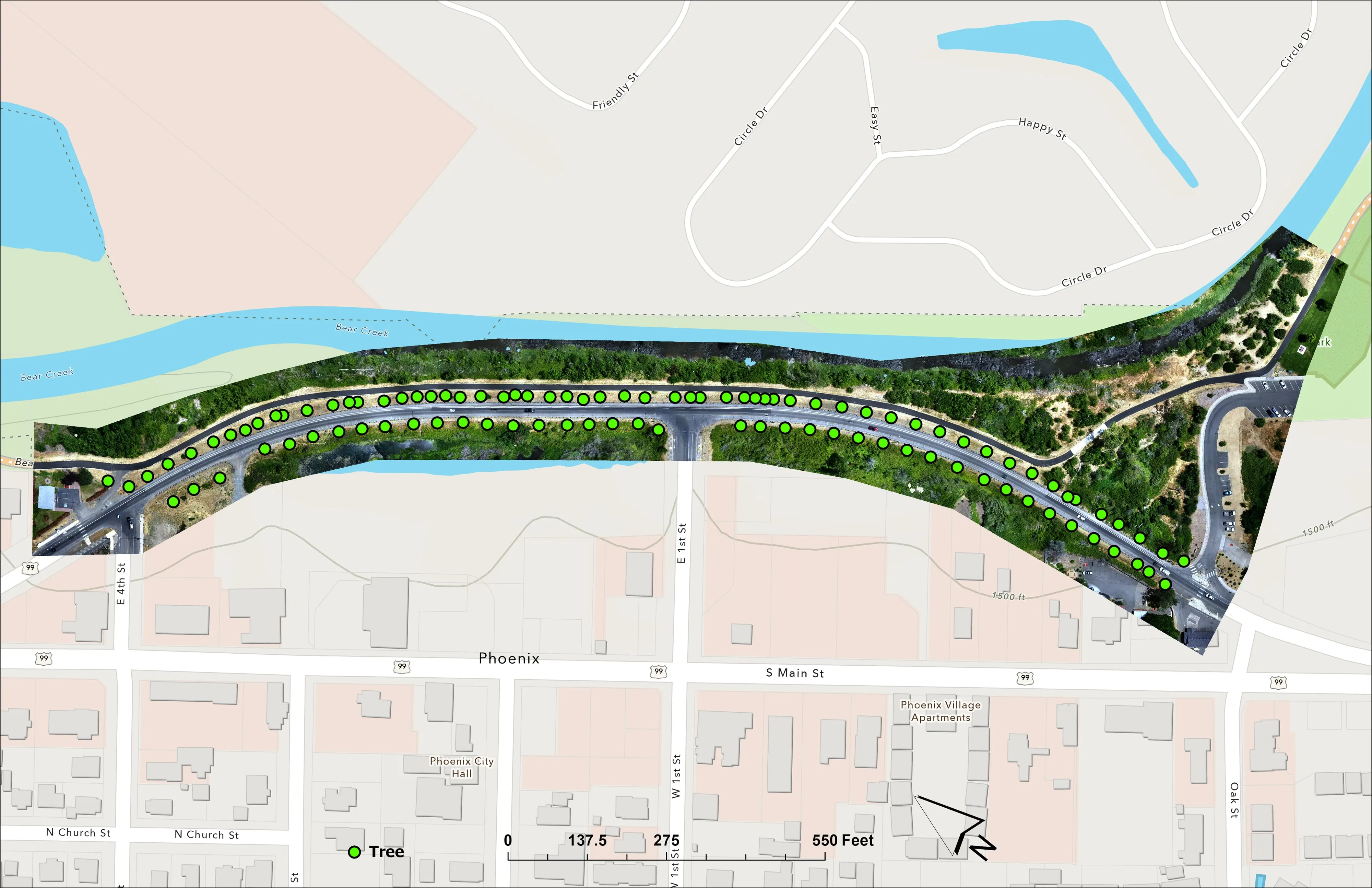
Orthomosaic, clipped to the corridor -
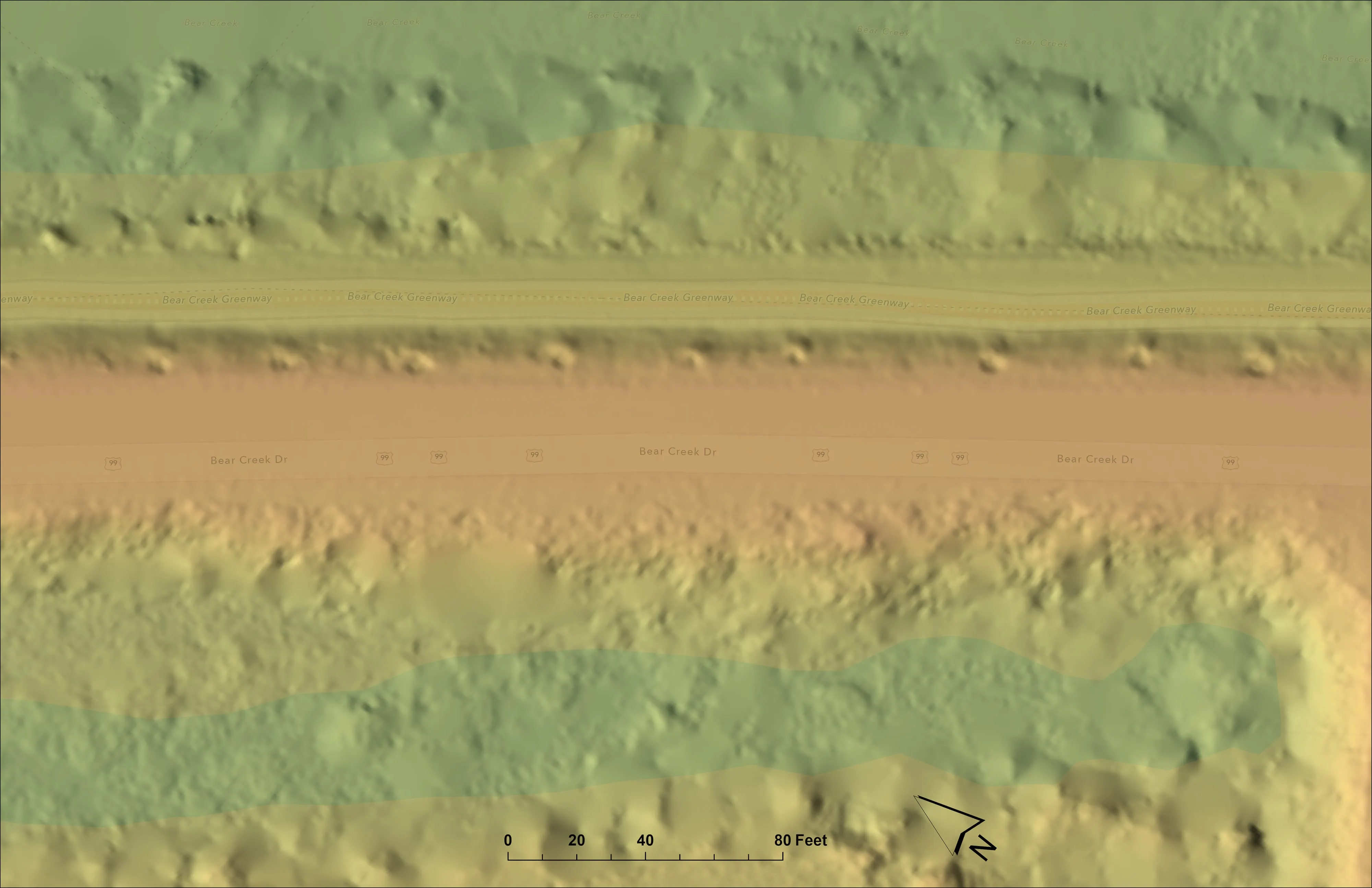
Bare earth elevation model -
Surface model -
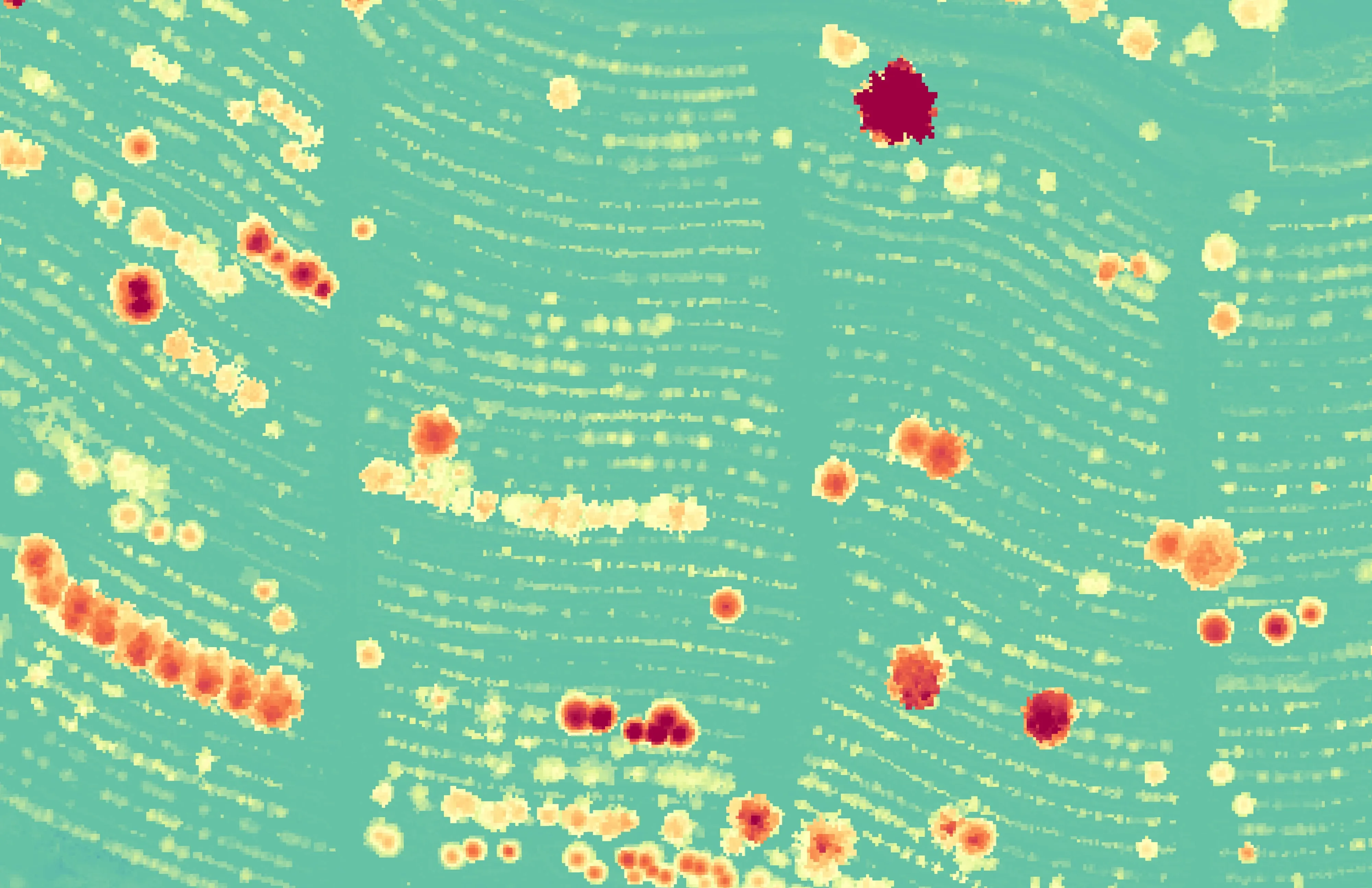
Canopy height model -
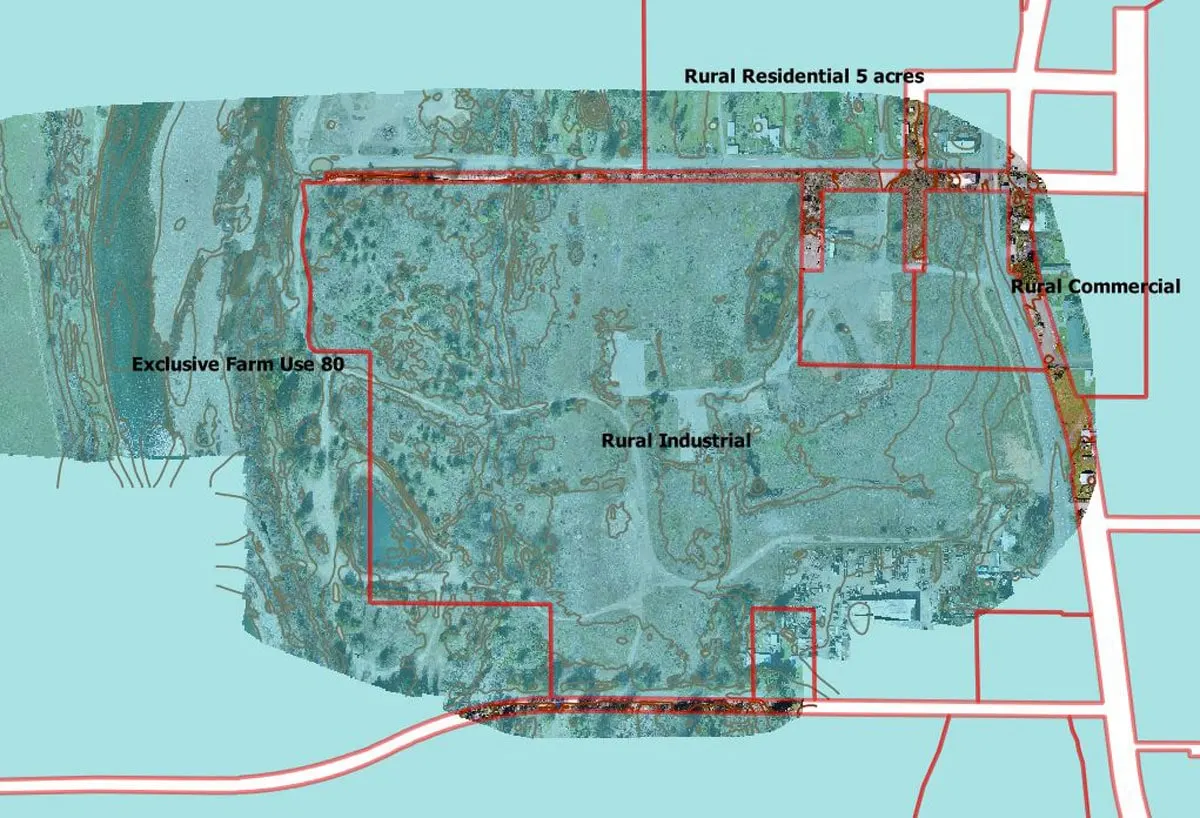
Contours over the ortho
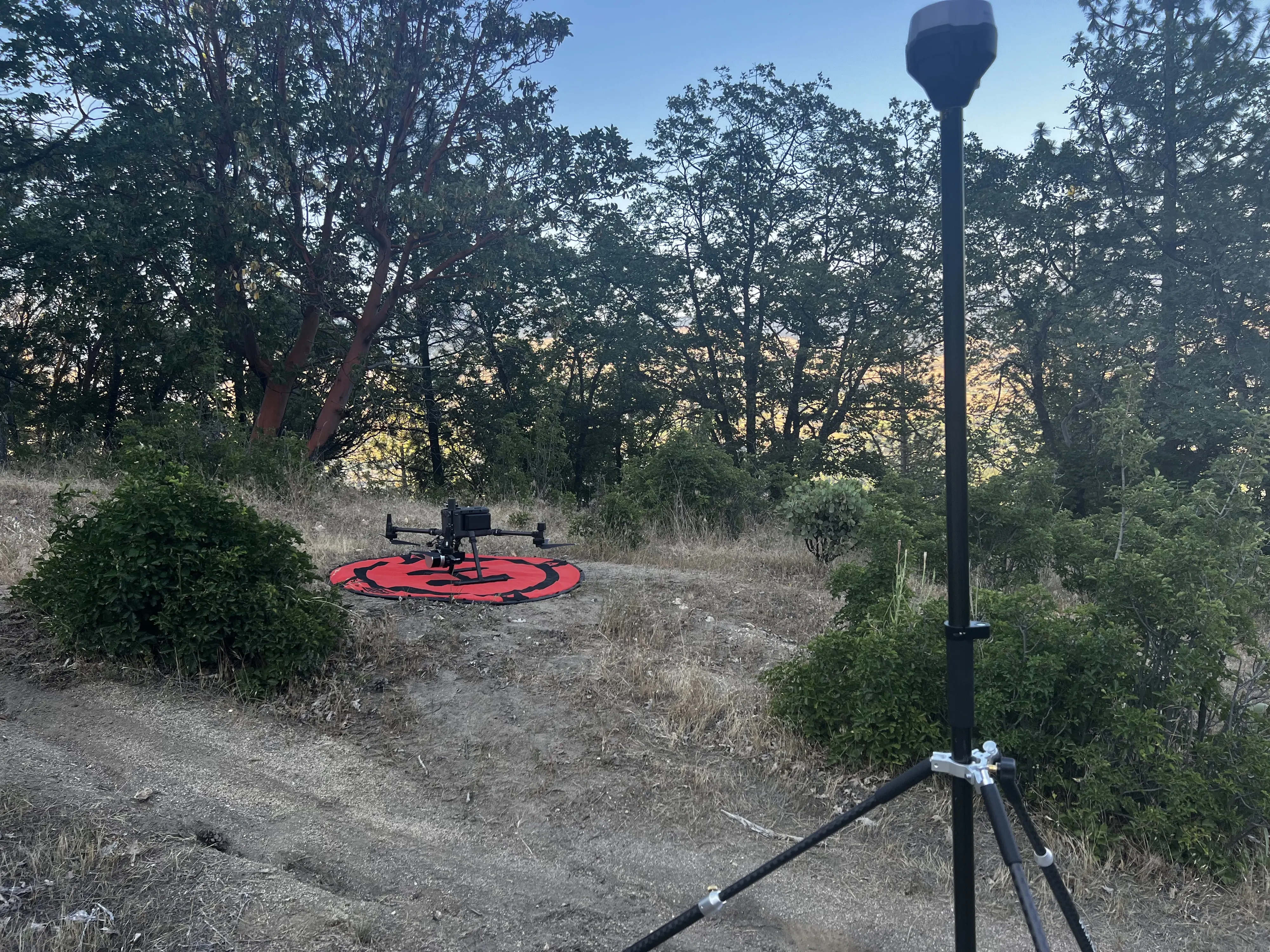
Control you can check
Base station coordinates resolved through CSRS PPP, trajectories processed PPK, and check points reported with their residuals on every terrain deliverable, so the accuracy is on the sheet before anyone designs against it.
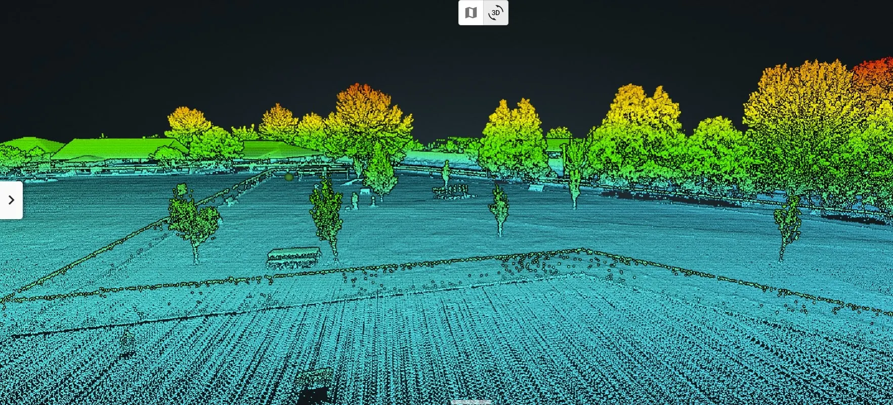
How it is used
Design decisions made on real ground
- Siting structures and driveways on the slope that is actually there
- Drainage and grading concepts from the bare earth model
- View corridors from the surface model and tree heights
- Tree retention planning from crown polygons and heights
- Inputs to septic and grading design by your licensed professionals
When a project needs a licensed surveyor, we bring one on. We do it often. The engineer and the surveyor get clean data to work from.
Process
Six steps from the first call to the plan
- 01
Consult
What the design team needs, in what coordinate system, at what contour interval.
- 02
Flight plan and airspace
Terrain following flight lines, control points, and any authorization the airspace needs.
- 03
Capture
LiDAR and RGB in one visit, PPK controlled against a base on a known point.
- 04
Process
Classified point cloud, bare earth, surface, canopy, contours, and check points.
- 05
Deliver
GeoTIFF, LAS, DXF, SHP, and a PDF sheet set, with an accuracy report.
- 06
Walkthrough
A call with the design team so the data goes straight into the plan.
The sensors and methods behind this lane:
Let's talk about your property.
Email info@roguerecon.net or call 541 708 2151.