

Medford, Oregon
We map forests, fire, and land so the people responsible for them can act.
Oregon based UAS remote sensing for foresters, fire agencies, watershed councils, engineers, and landowners. LiDAR, multispectral, thermal infrared, and the GIS that turns it into decisions.
Four lanes, one crew
- Wildland Fire Night infrared mapping, hotspot detection, and perimeter products delivered to the incident management team the same shift.
- Forestry LiDAR, multispectral, and machine learning for stands, riparian corridors, and community wildfire planning.
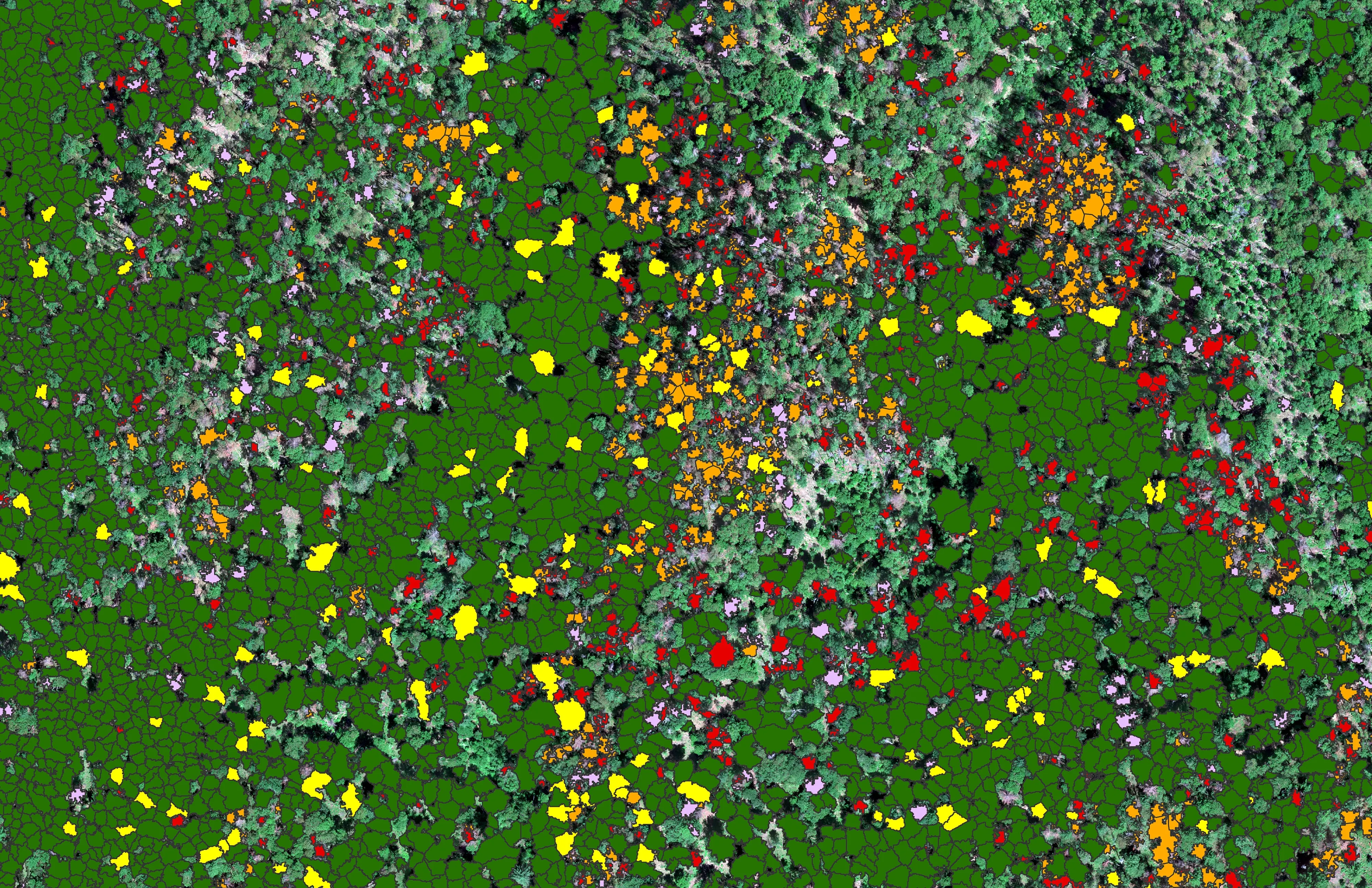
- Property Everything a design team needs to site, grade, and plan before anyone breaks ground.
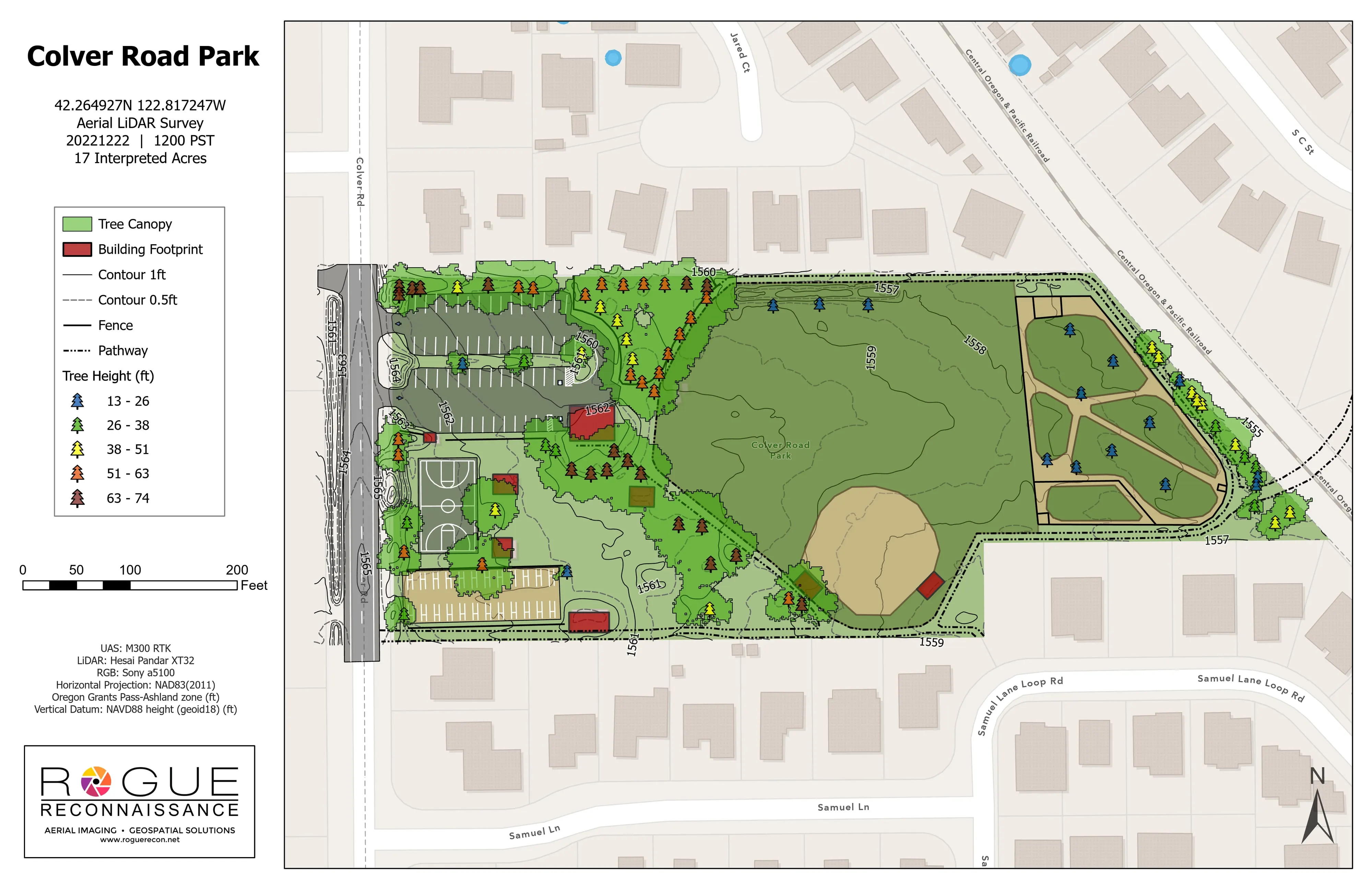
- Farm Planning Terrain, drainage, sun, and canopy for farm layout and conservation planning.
-
Tree by tree.
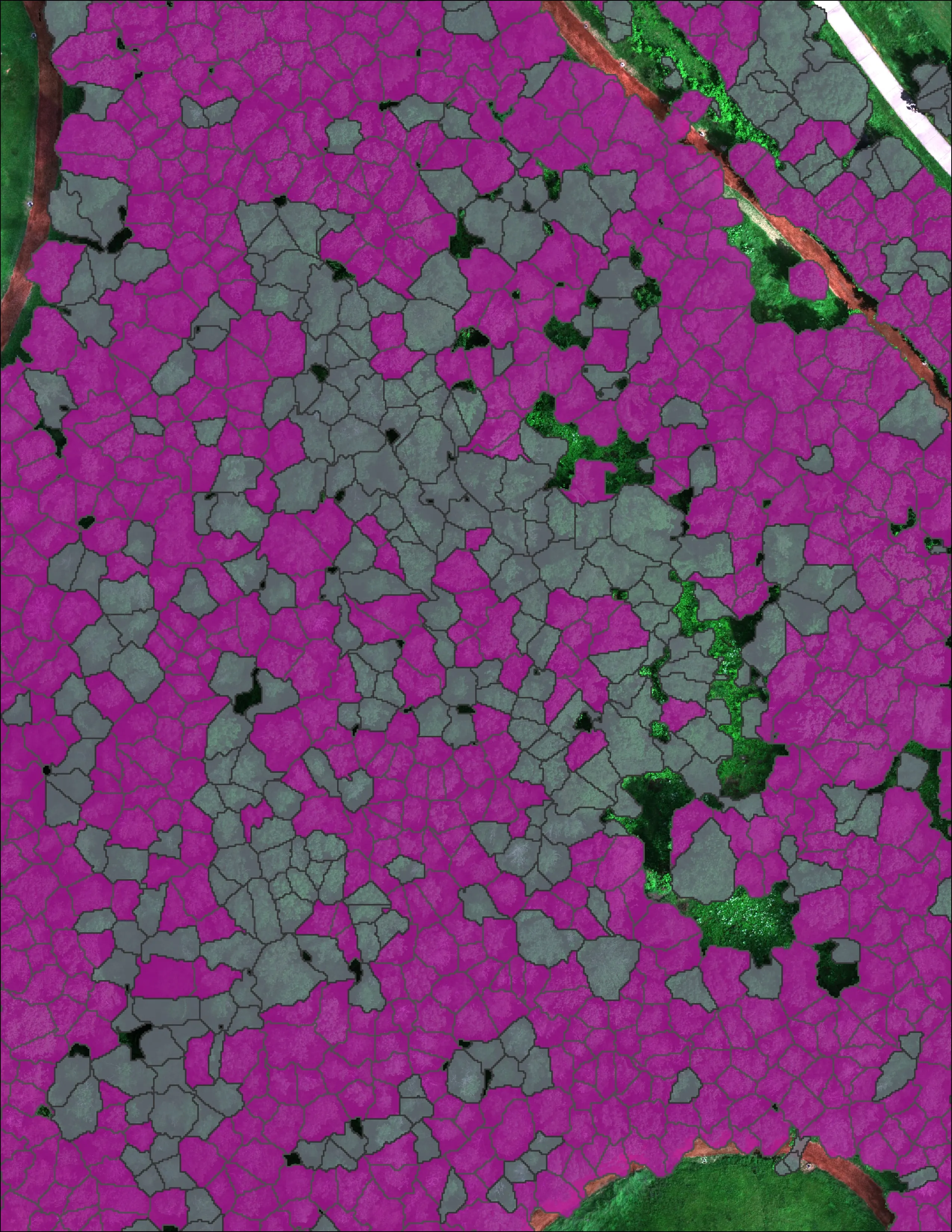
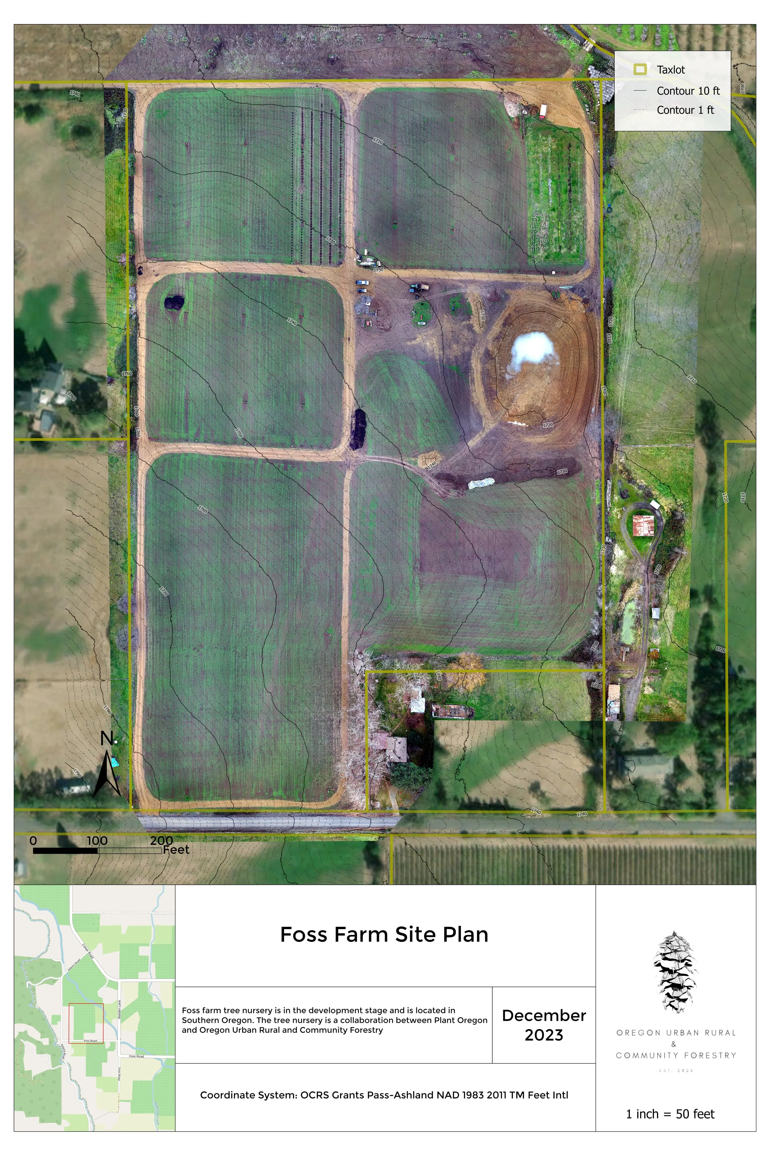
Forest health, species, and downed wood measured for every tree and every log, ground truthed and cross validated.
-
Deliverables in hours.
Infrared products reach the incident the same shift. Forestry and terrain products ship with the accuracy numbers.
-
Numbers you can defend.
Ground truthed, cross validated, documented. We report the honest number and say where the model is weak.
What the numbers say
- 12,632
- Crowns classified on one project
- City of Eugene Oregon ash inventory, 390 acres of riparian canopy
- 30,226
- Douglas fir crowns classed by health
- City of Ashland watershed lands, October 2024 overview sheet
- 51 acres
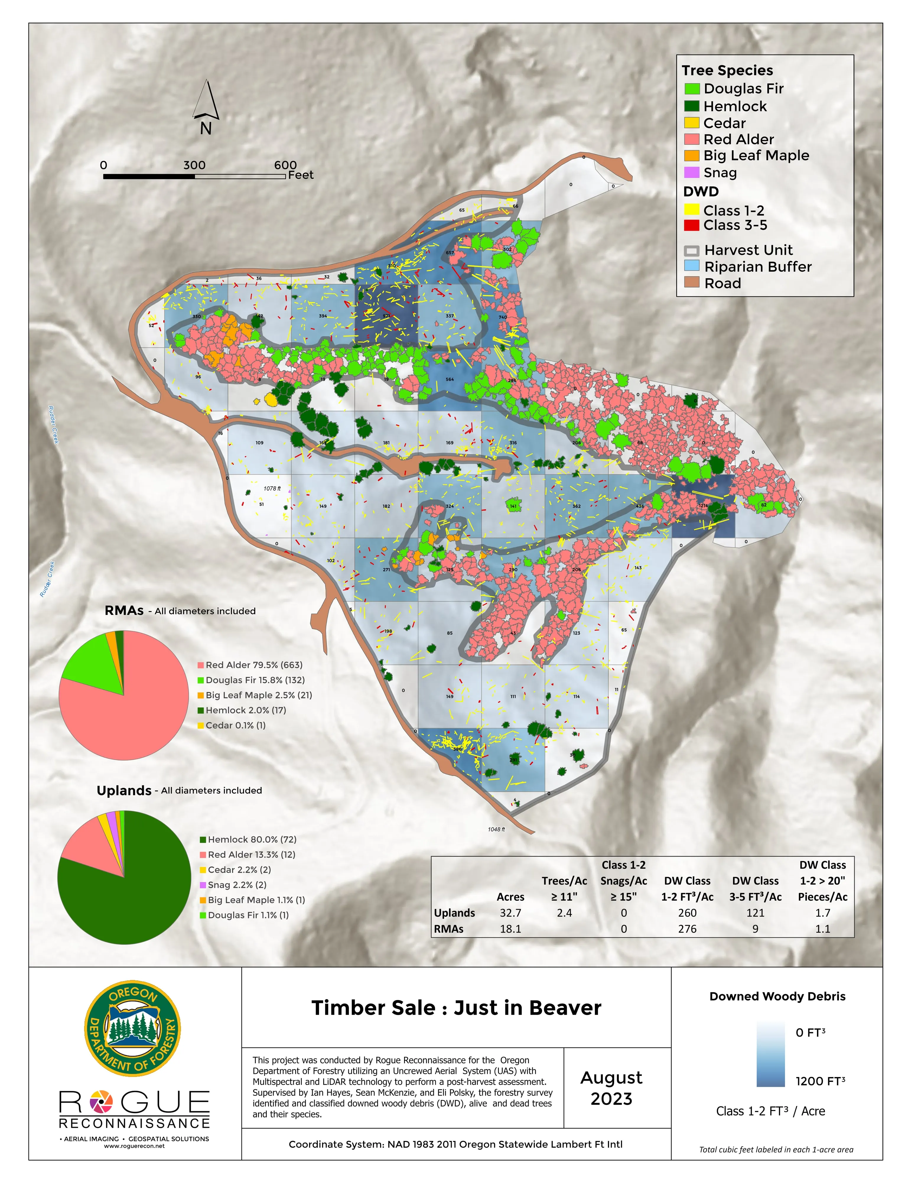
- Every log measured from one flight
- ODF post harvest unit, debris by decay class in every one acre cell
- 2019
- ODF Call When Needed UAS resource since
- Night infrared on active incidents since 2019, the first assignment a proof of concept mission
The mission
Timely, accurate, actionable. Maps and numbers the people responsible for forests, fire, and land can act on.
A city forester, an incident commander, an engineer, or a family with a farm gets what is actually there, measured, in the format they already use.
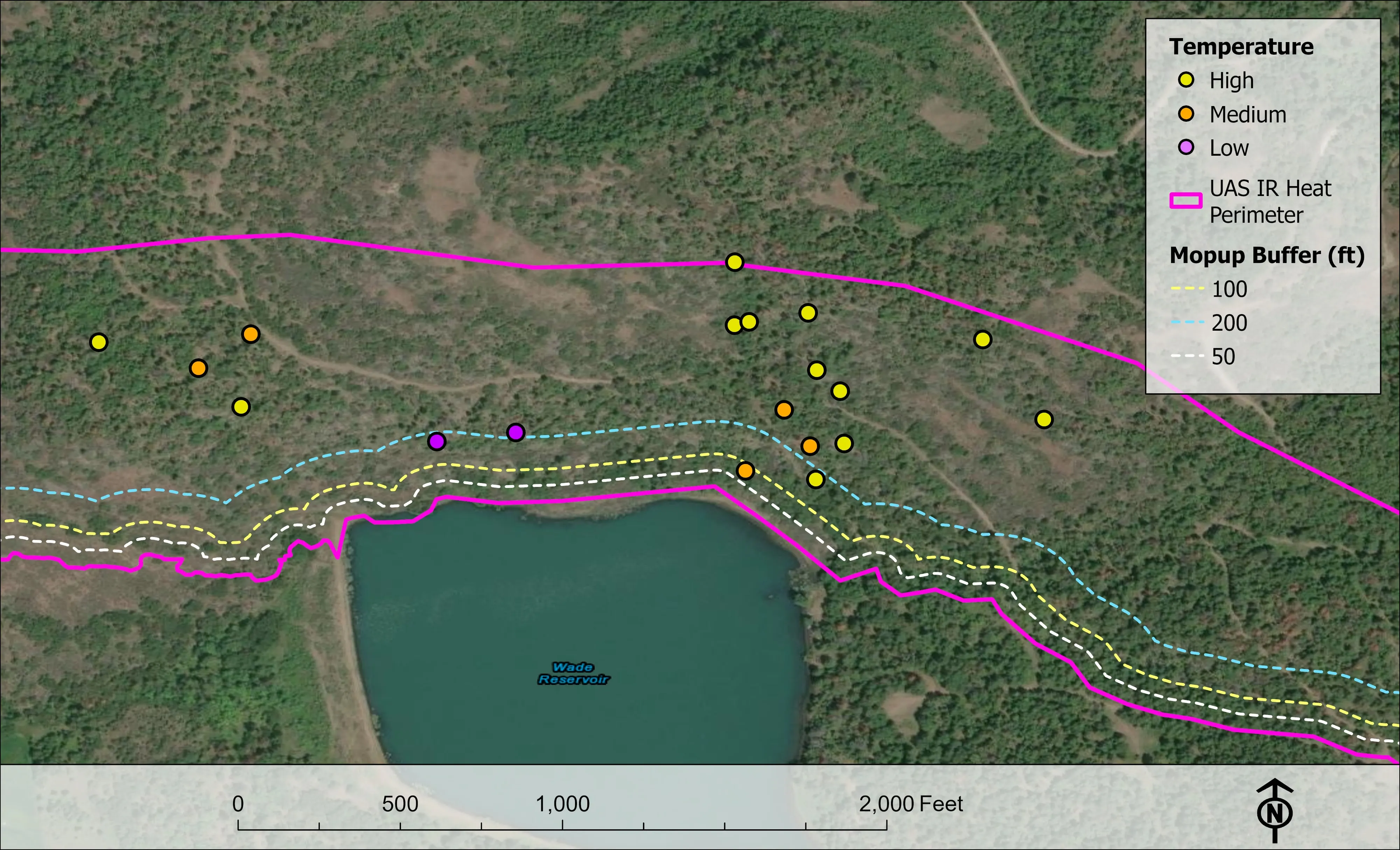
Wildland Fire
Night infrared on active incidents
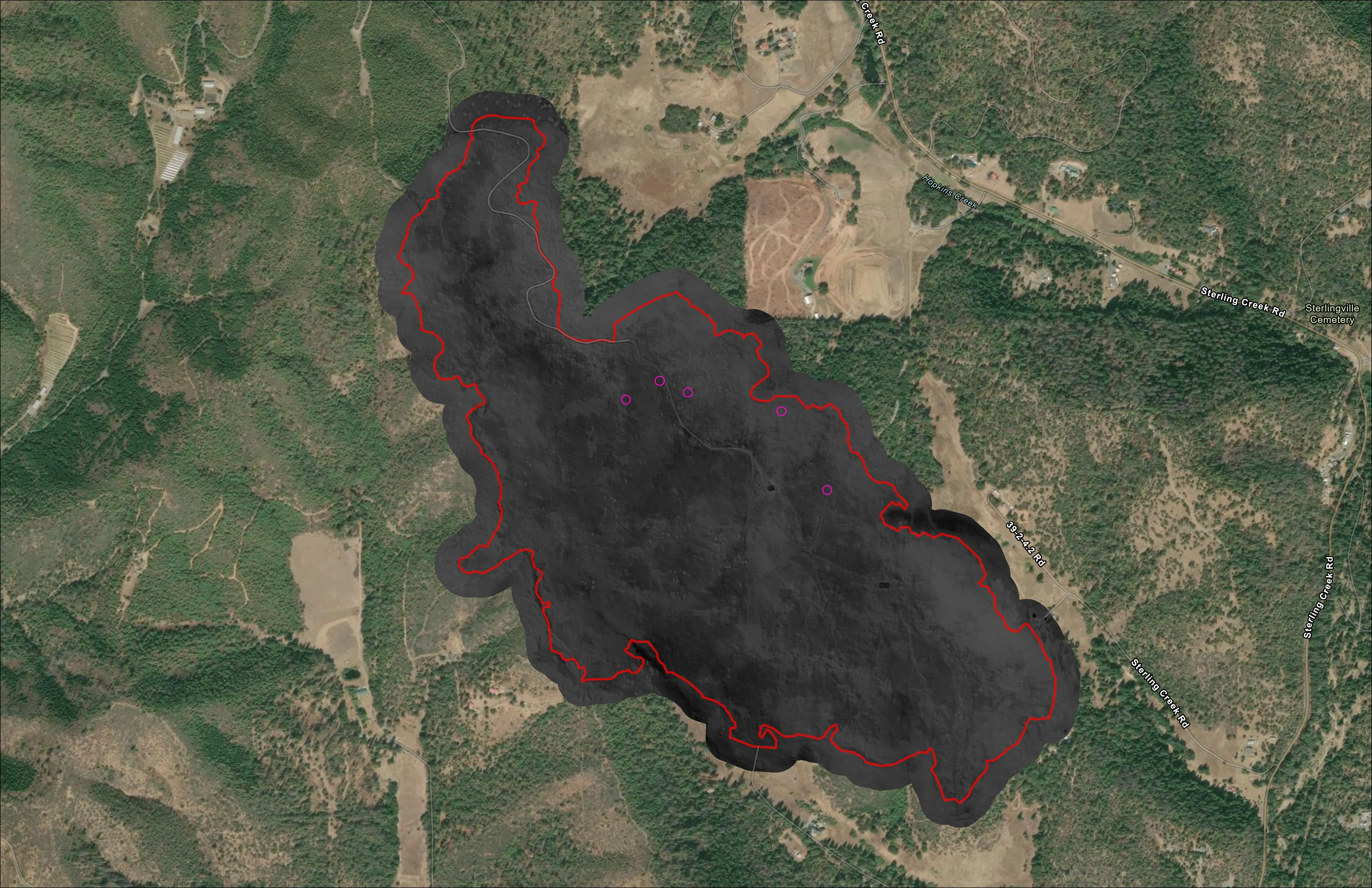
- Heat perimeter, intense and scattered heat, and isolated heat points in the schema the GISS already works in
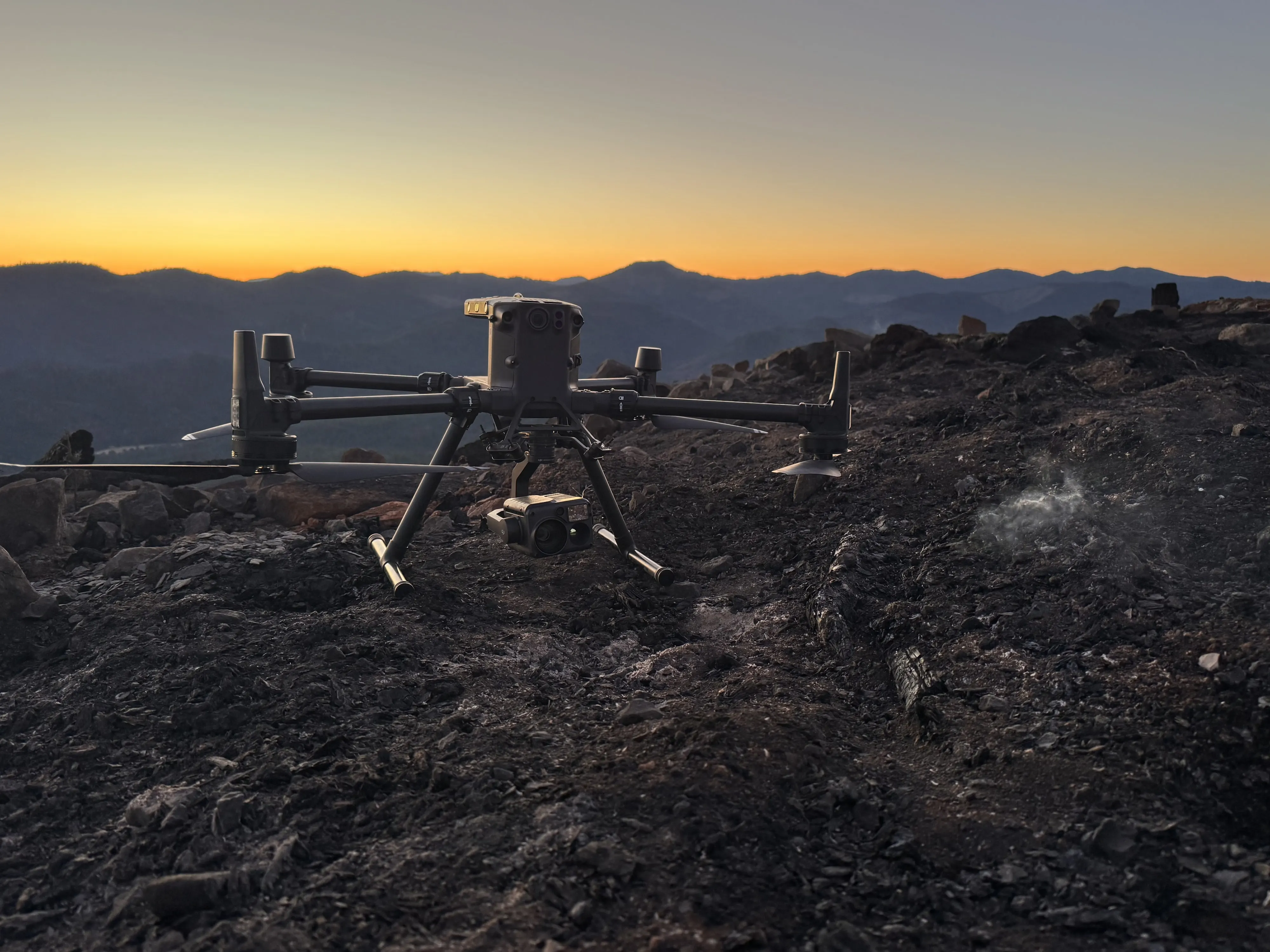
- Flown after the aircraft leave for the night, in the incident's hands before the morning briefing
- Call When Needed UAS resource for the Oregon Department of Forestry since 2019
- Heat perimeter
- Isolated heat points
- PDF map
- Geodatabase and shapefile
- KMZ
- IR flight summary
Forestry
Every tree, classed and counted
- Species, health, height, and crown for every tree, checked against trees on the ground
- Downed woody debris counted and measured from the air on post harvest units
- Canopy height, ladder fuels, and structure exposure for Community Wildfire Protection Plans
- Classified crowns
- Canopy height model
- Species maps
- Health classes
- DWD counts and maps
- Orthomosaics
- LiDAR terrain
- StoryMaps and dashboards
Property
Terrain your design team can build on
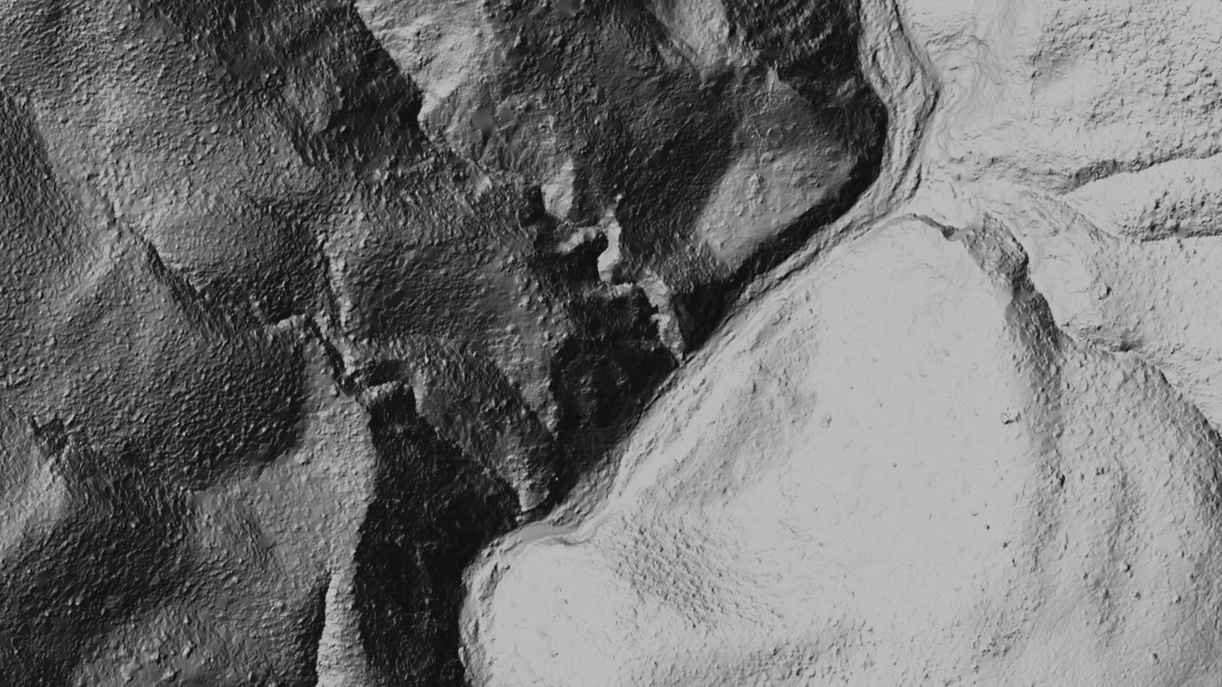
- Bare earth under the canopy. Elevation model, contours, hillshade, slope, and aspect
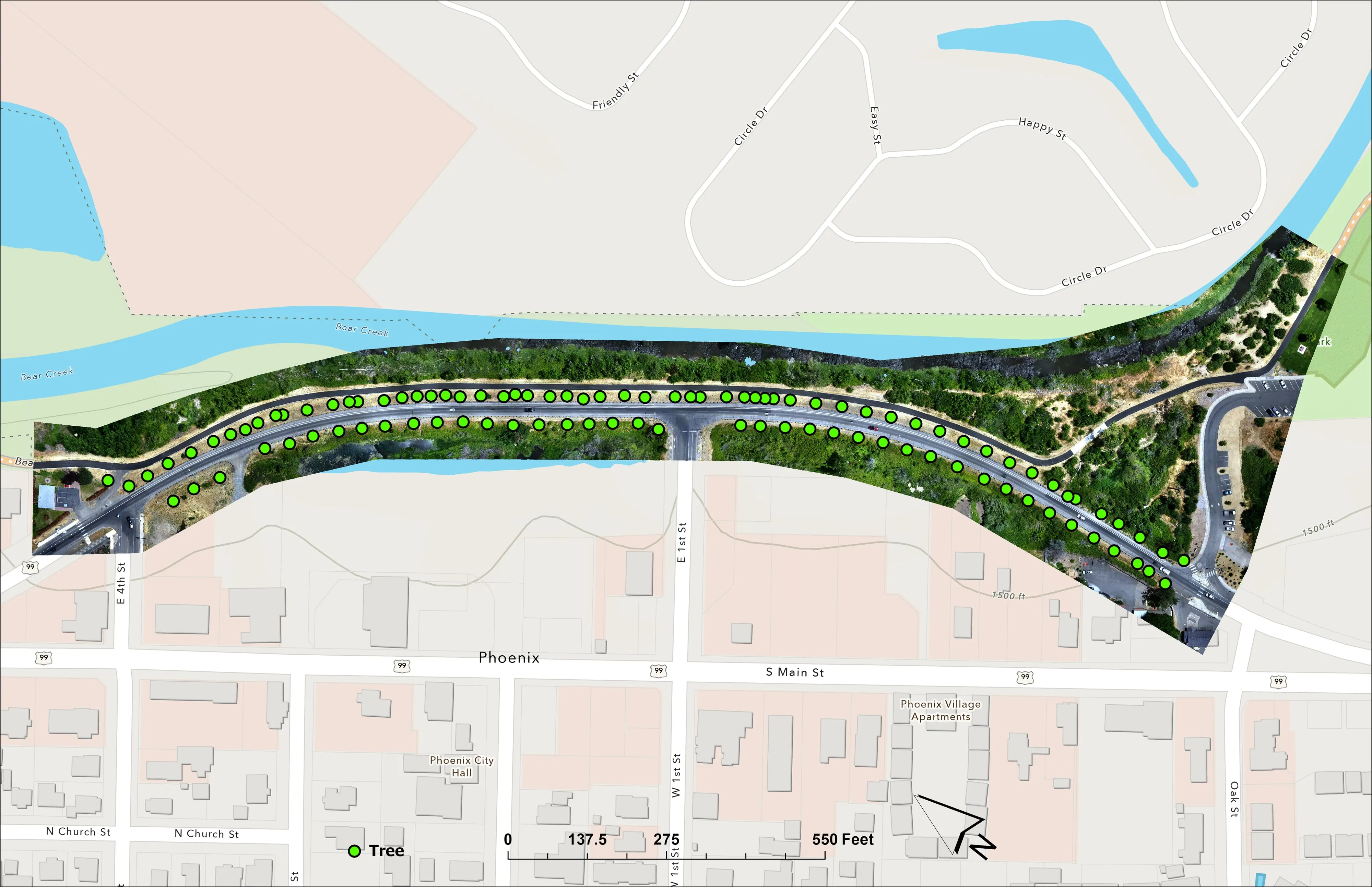
- Canopy height and tree points with heights for retention planning
- Delivered in the formats and coordinate system your engineer specifies
- Orthomosaic
- Elevation model
- Surface model
- Canopy height model
- Contours
- Tree points
- GeoTIFF, LAS, DXF, SHP
Farm Planning
A shared map the whole crew can work from
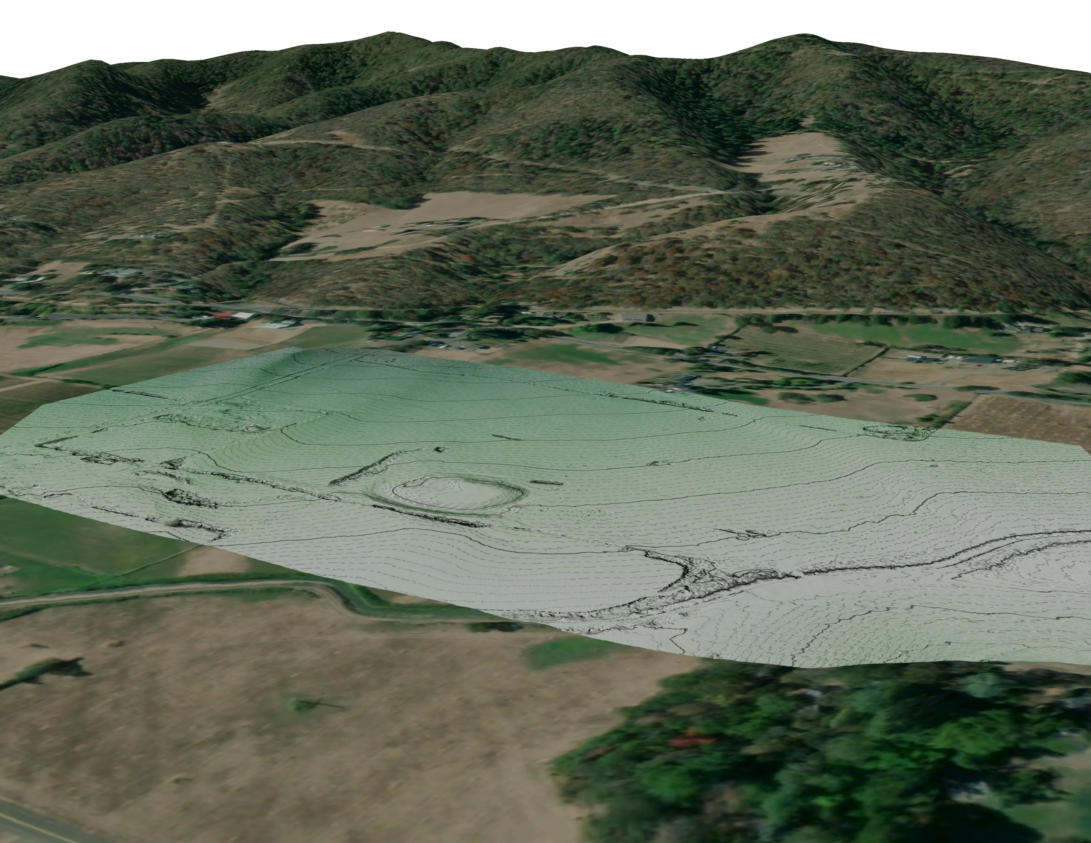
- Drainage low points and flow paths before anyone digs a ditch
- Slope, aspect, and sun for fields, orchards, fencing, and access
- Plan overlays drawn on a current ortho of your own ground
- Orthomosaic
- Elevation model and contours
- Slope and aspect
- Drainage and flow paths
- Canopy and windbreak heights
- NDVI baseline
- Plan overlays
Featured work
Three jobs from the field
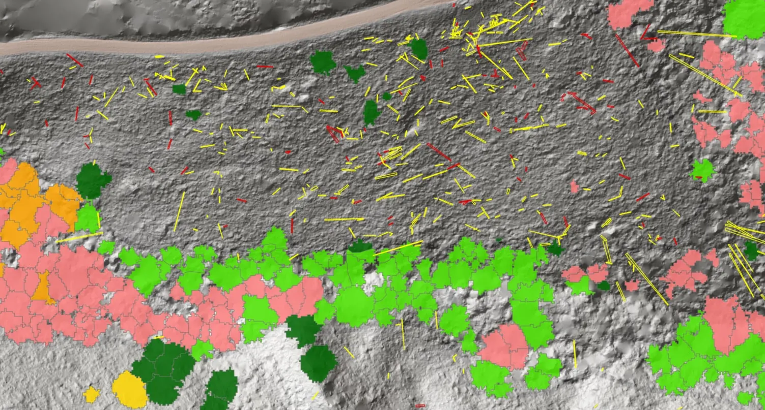
Downed woody debris, measured from the air
Oregon Department of Forestry
Every log on a post harvest unit delineated, measured, and classed by decay, with standing trees identified to species.
Read the case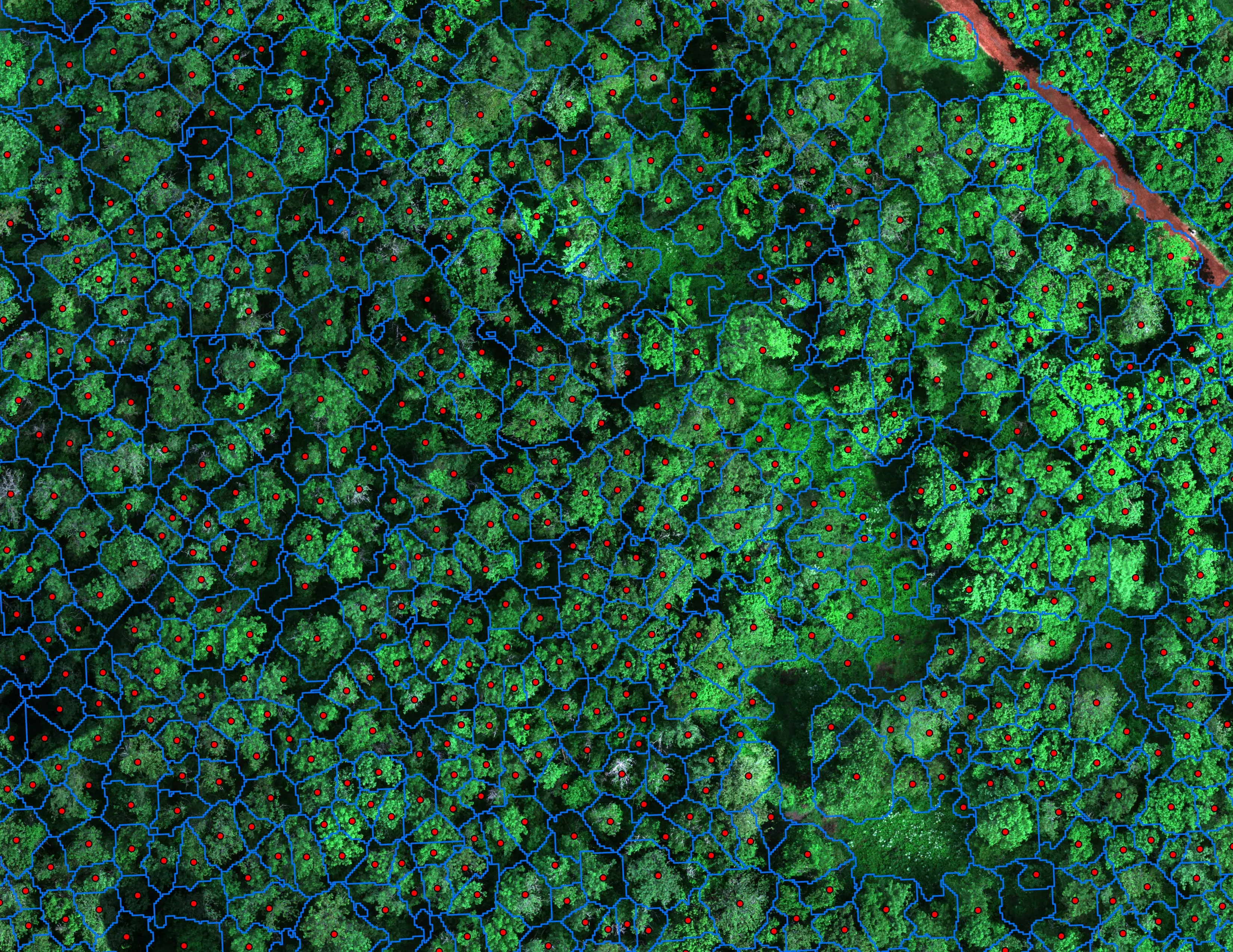
Finding every Oregon ash before the borer does
City of Eugene, Parks and Open Space
12,632 crowns classified across 390 acres of riparian canopy. 5,261 of them Oregon ash.
Read the case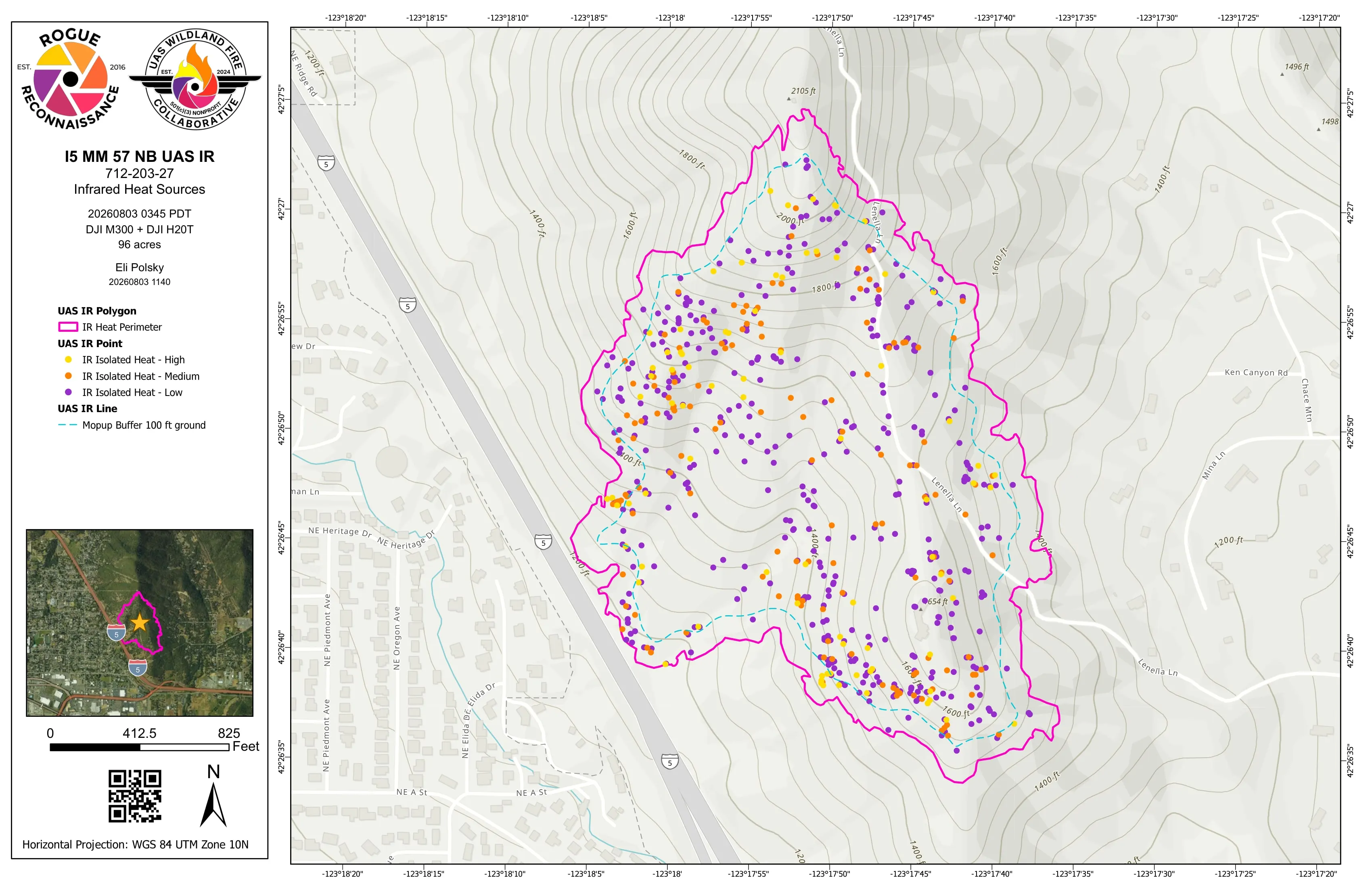
Night infrared on ODF incidents since 2019
Oregon Department of Forestry, State Aviation
Call When Needed UAS infrared resource on active incidents, with heat perimeter and hotspot products in the GISS's hands before the morning briefing.
Read the caseWe fly the same aircraft over a fire at two in the morning and over a timber sale at noon. The standard does not change: a number you can defend, in the format you already use, before you need it.
Who we work with
The people responsible for forests, fire, land, and farms
- 01 State and federal fire agencies
- 02 Incident management teams
- 03 Cities and counties
- 04 Watershed councils and land trusts
- 05 Forestry consultants and timber
- 06 Architects, engineers and landowners
- 07 Farms and ranches
- 08 Prescribed fire and fuels contractors
Credentials
Founded by wildland firefighters, flown by insured pilots red carded for fire.
- FAA Part 107 remote pilot, certificated November 2016
- Red carded wildland firefighter: FFT1, GISS, UASD
- Administratively Determined resource, US Forest Service
- Oregon Department of Forestry Call When Needed UAS resource since 2019
- Certificate of Authorization holder, Class D and Class E2 airspace
- SAM.gov registered federal contractor, UEI RUE6PBWSLAN6, CAGE 9DDE5
- Insured remote pilots
- Founder, UAS Wildland Fire Collaborative, a 501(c)(3)
Agencies and clients we have worked with

- City of Eugene

- Bureau of Land Management
- US Forest Service
Let's talk about your next project.
-
Talk to Eli
Tell us what you need to know about your ground and roughly when. We reply within one business day.
Contact -
See the work
Case studies with what was flown, what was delivered, and the numbers with what they measure.
Case studies -
Take the capability statement
The 2026 capability statement for procurement: credentials, aircraft, sensors, past performance, UEI and CAGE. PDF, 7 MB.
Download the PDF
Email info@roguerecon.net or call 541 708 2151.