

The kit
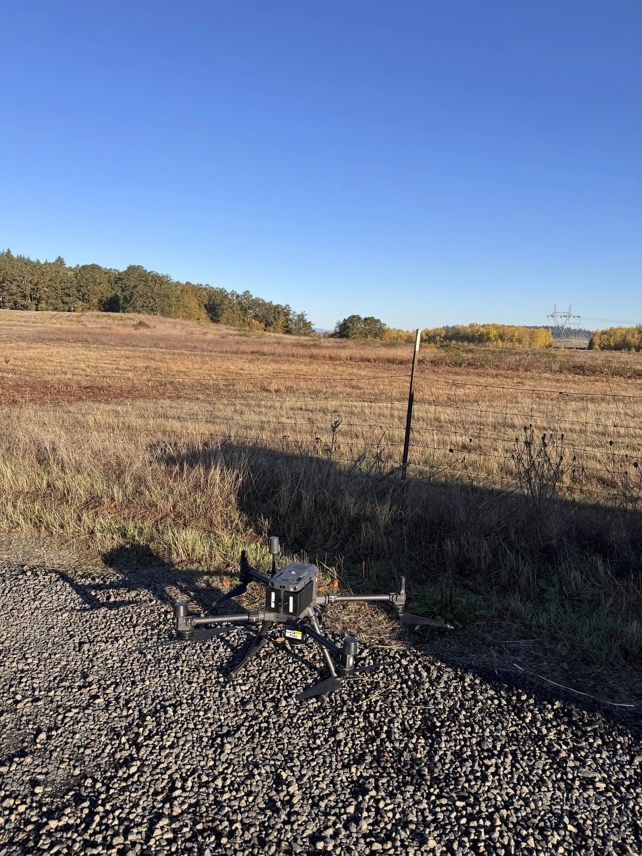
We fly the Inertial Labs RESEPI with a Hesai XT32 scanner and an integrated camera on a DJI Matrice 300 RTK. An Emlid RS3 base station runs on a known point for every flight. For federal jobs that need an NDAA compliant aircraft we have flown a Freefly Astro, built in the United States, carrying a YellowScan Mapper+ LiDAR.
How we control it
Base station coordinates come from CSRS PPP. Trajectories are processed PPK in Inertial Explorer after the flight. We set check points where the job calls for them and report the control and check point residuals with every terrain deliverable, so you know what the numbers mean before you design against them.
What comes out
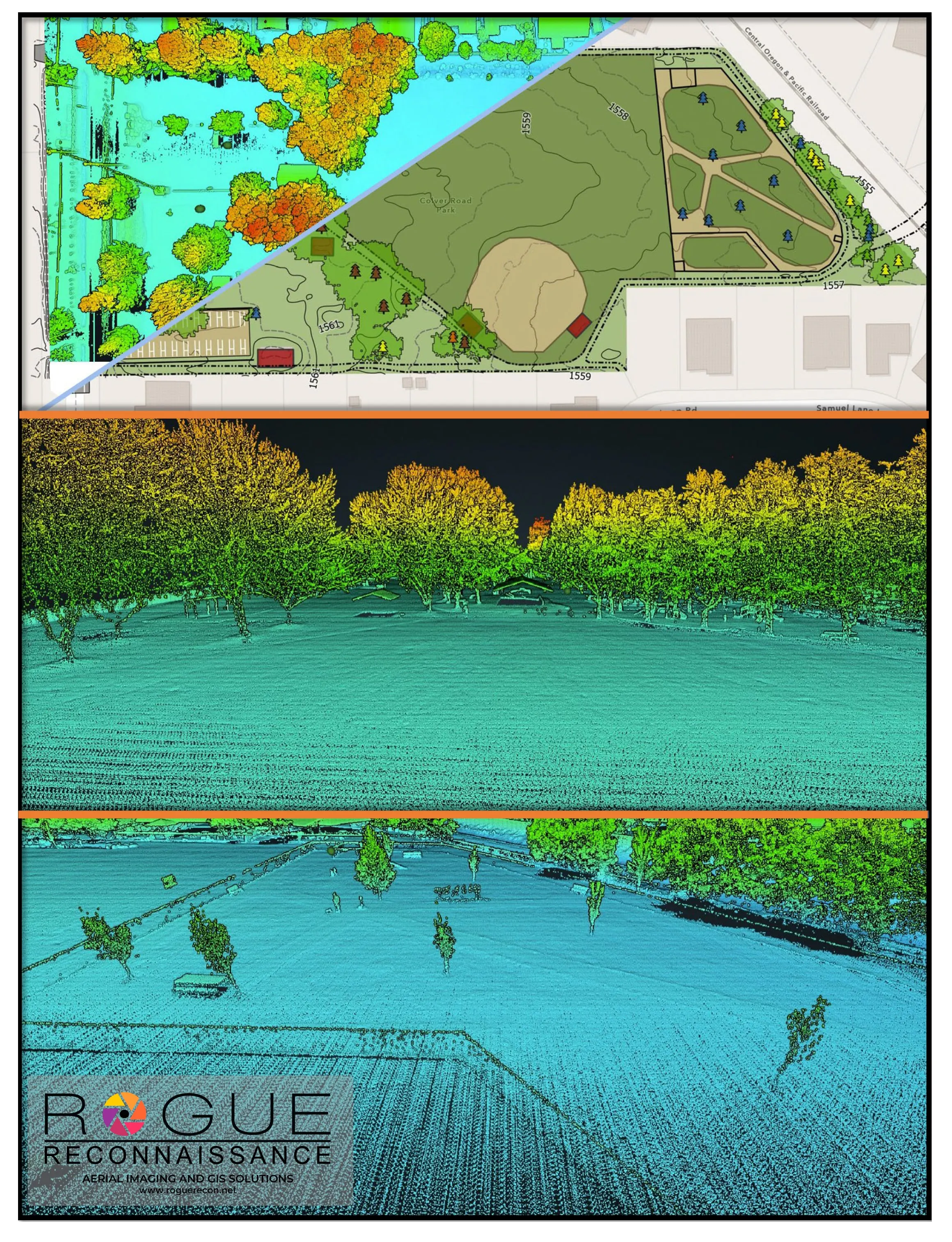
- Classified point cloud to ASPRS standard classes: ground, low, medium and high vegetation, buildings, water, noise. LAS or LAZ.
- Bare earth elevation model, surface model, and canopy height model at the resolution the job needs.
- Contours at the interval your engineer asks for, one foot is typical.
- Hillshade, slope, and aspect.
- Individual tree points with heights and crown polygons.
- Corridor and stream reach collection where dense canopy makes ground work slow.
When drone LiDAR is the right tool
Drone LiDAR gets under canopy where aerial LiDAR thins out and where a ground crew spends a week. That is the case for a wooded building site, a riparian corridor, a post harvest unit, and the fuels around a neighborhood. The same point cloud that gives an engineer contours gives a fuels planner ladder fuels, so one flight often serves two jobs.