

The sensor
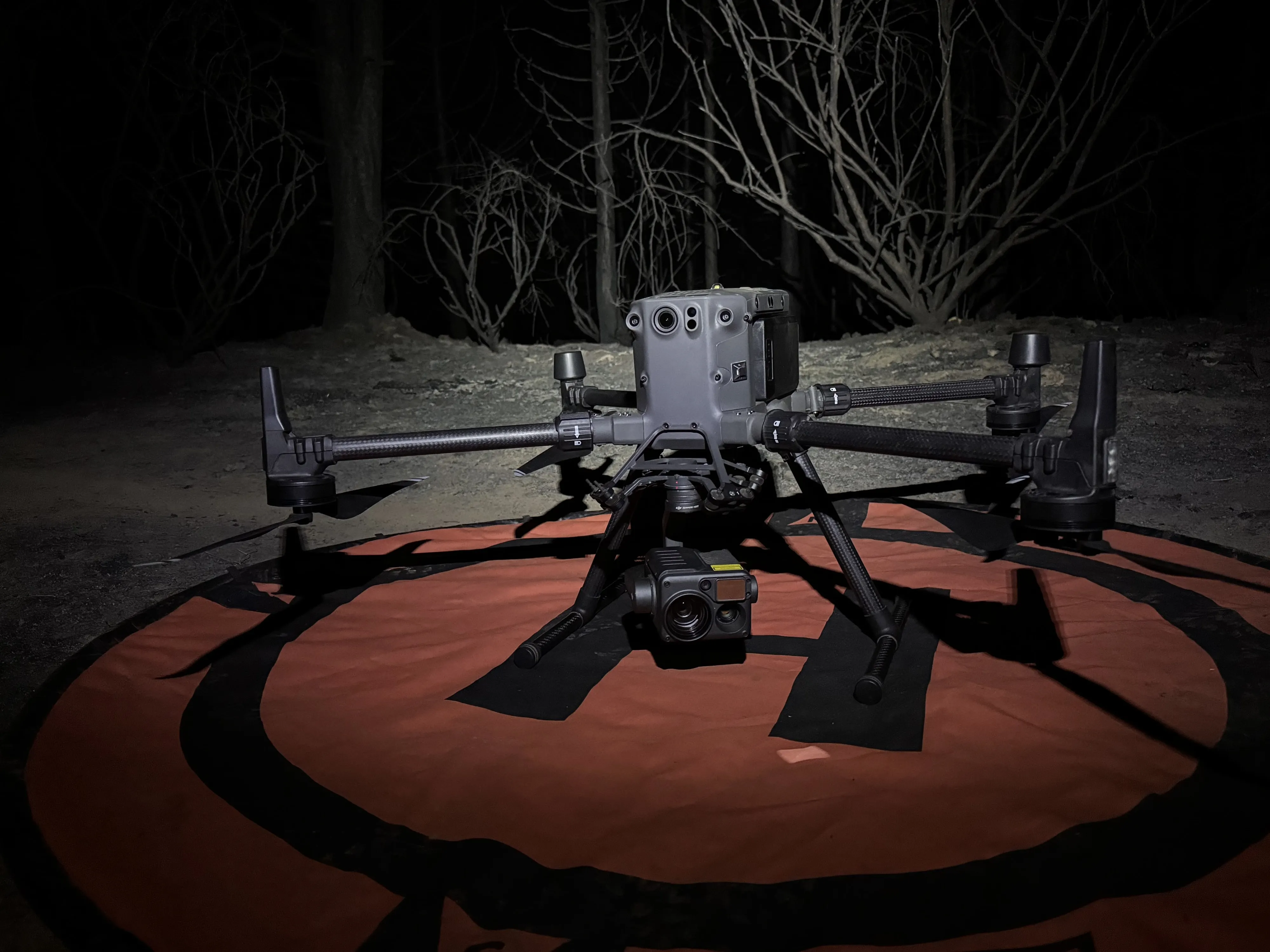
DJI Zenmuse H20T on the Matrice 300 RTK, with the Zenmuse XT series as the backup. Both record calibrated temperature per pixel. We fly thermal as a mapping mission with overlap. The output is one orthorectified mosaic with a temperature in every pixel.
Fire
Heat is classified from measured temperature against thresholds set in degrees, so a warm stump does not get called a hotspot and a real one does not get missed. Products follow the NIFS schema and carry the IRWIN identifier: heat perimeter, intense and scattered heat, isolated heat points by intensity, mopup buffers set by the incident, area covered, and a flight summary. Every run writes a QA report next to the geodatabase. Read the wildland fire page for how a shift works.
Beyond the fire line
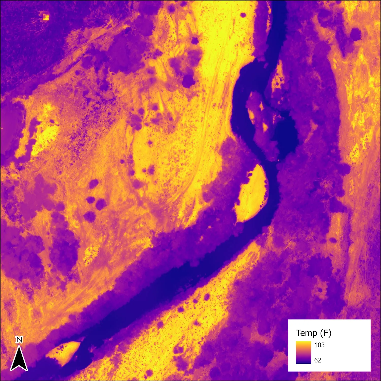
Post fire and prescribed fire mortality mapping when paired with multispectral. Thermal mosaics of a river corridor to find cooler zones that point to groundwater fed cold seeps, flown morning and afternoon so the cool spots that hold through the day stand out. Thermal reads are best used as relative differences in a mosaic; where the job needs absolute temperatures we say so and calibrate for it.