Farm Planning

A farm plan on real ground

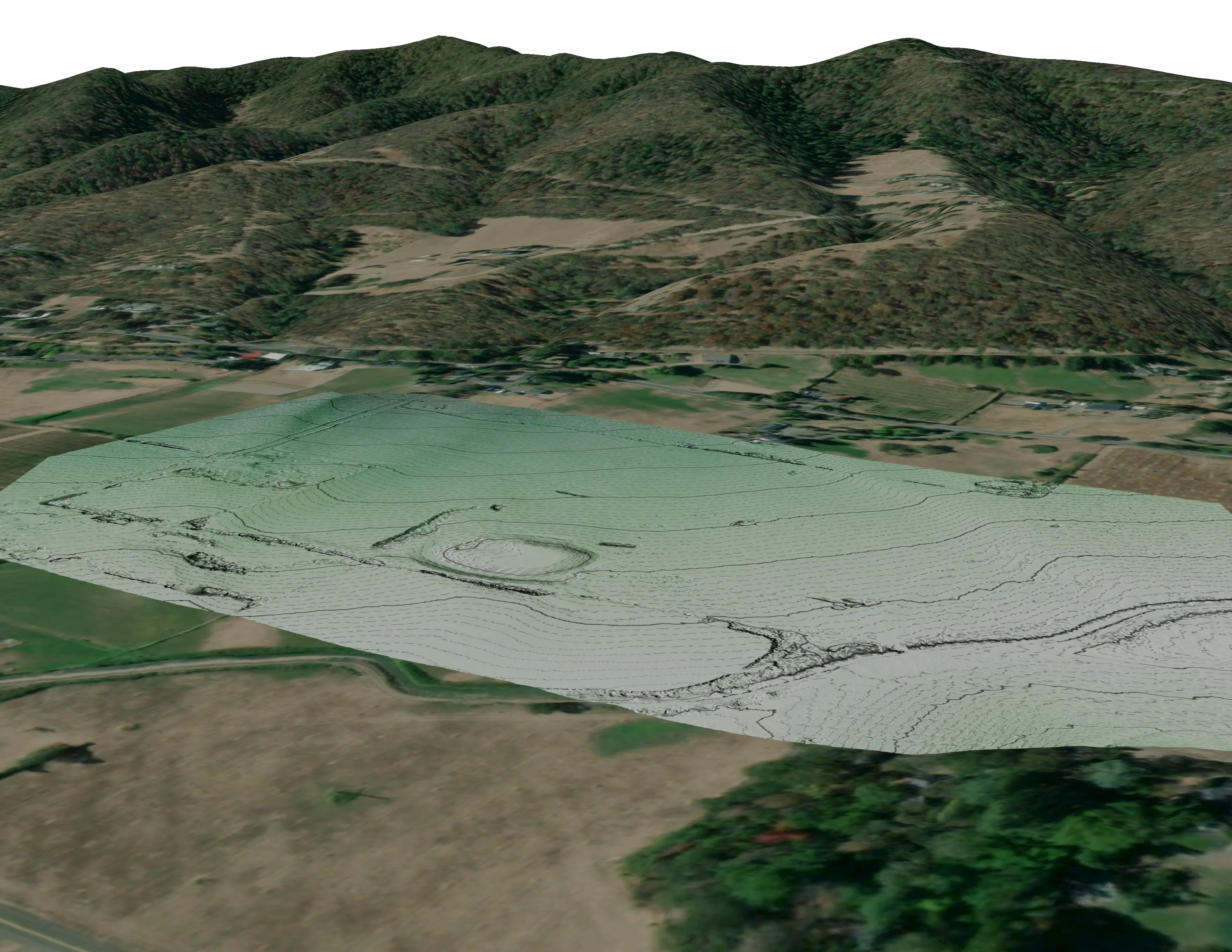
Terrain, ponds, tree mounds, and a site plan drawn on a current ortho of the whole farm.

Draft for review. Facts and permission still being confirmed, not indexed, not listed.
Client
A tree nursery in development, Plant Oregon with Oregon Urban Rural and Community Forestry
Location
Near Talent, Oregon
Years
2023
Lane
Farm Planning

The problem

A tree nursery in development needed a current base to plan fields, water, and access on, drawn on what the ground actually does.

What we flew

  • Drone LiDAR and RGB orthomosaic over the whole farm

What we delivered

  • Orthomosaic and bare earth elevation model with contours
  • Pond and drainage detail, tree mounds, and canopy heights with tree points
  • A 24 by 36 site plan sheet on the elevation model
  • 3D overviews to walk the plan together
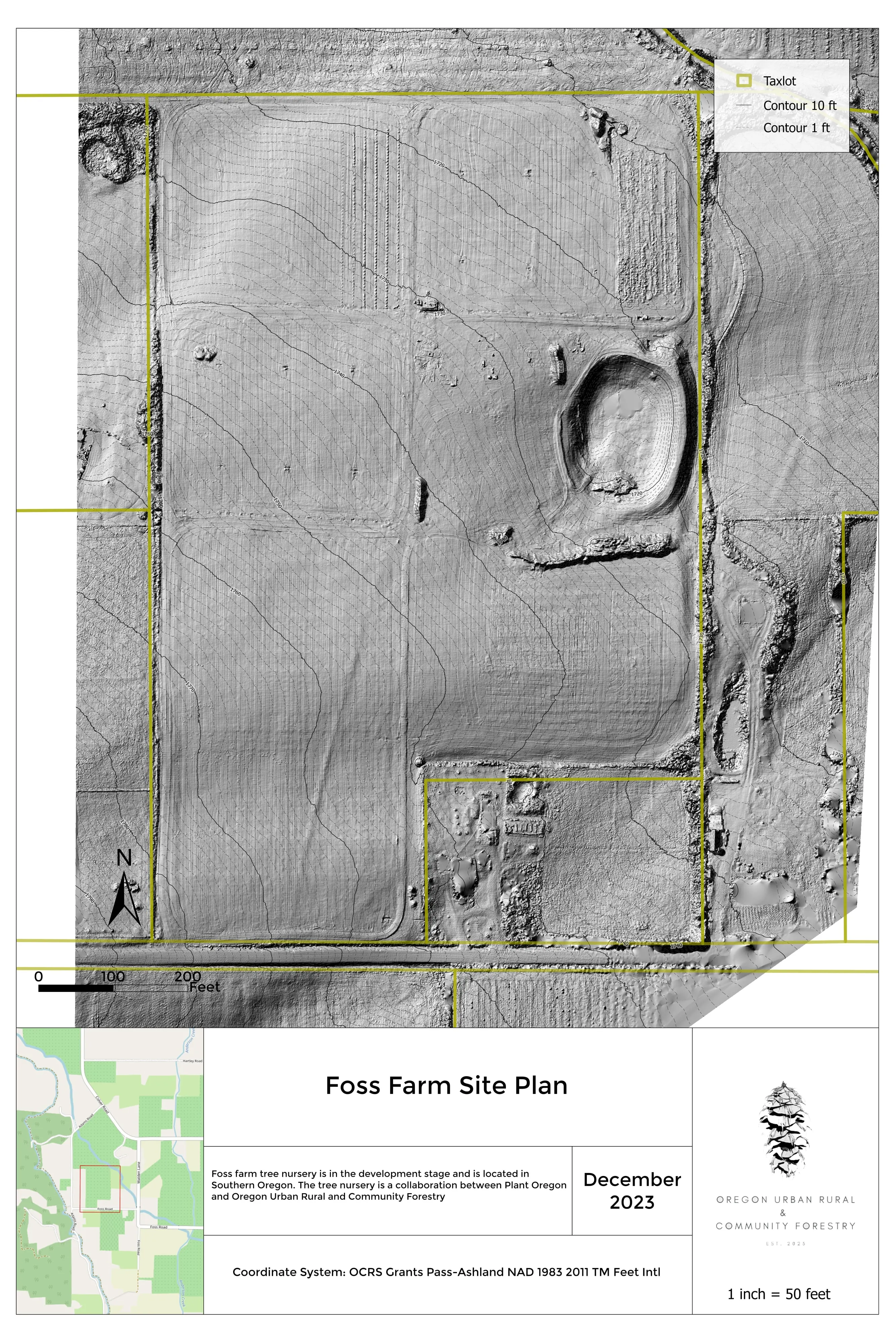
Site plan sheet on the shaded elevation model.
The site plan on the elevation model.
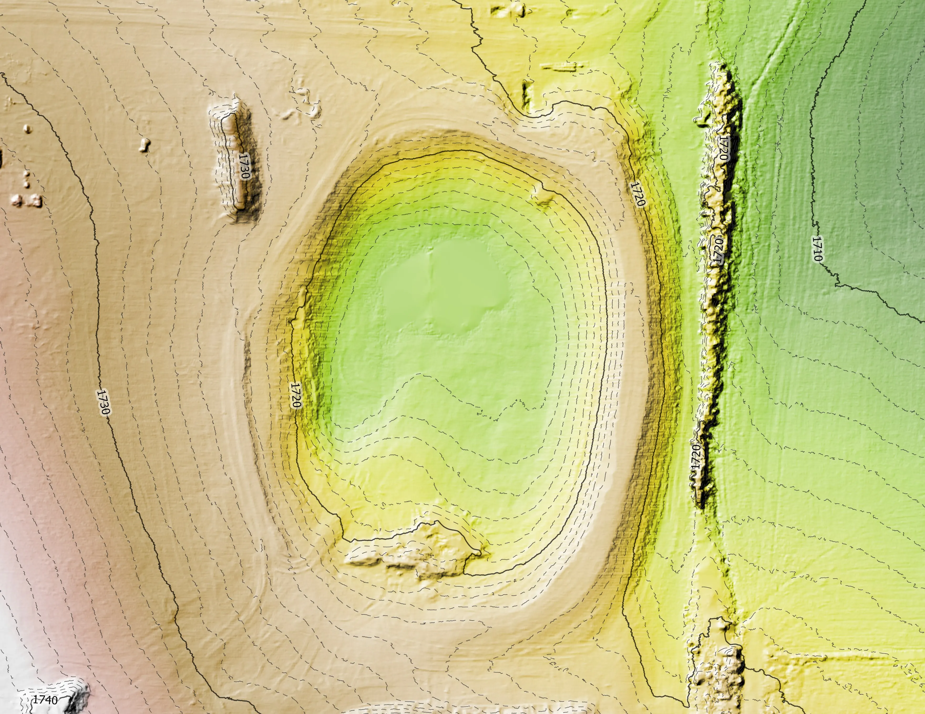
Pond and drainage detail on the elevation model.
Pond and drainage detail.
Canopy height model with tree points across the orchard.
Canopy height with tree points.
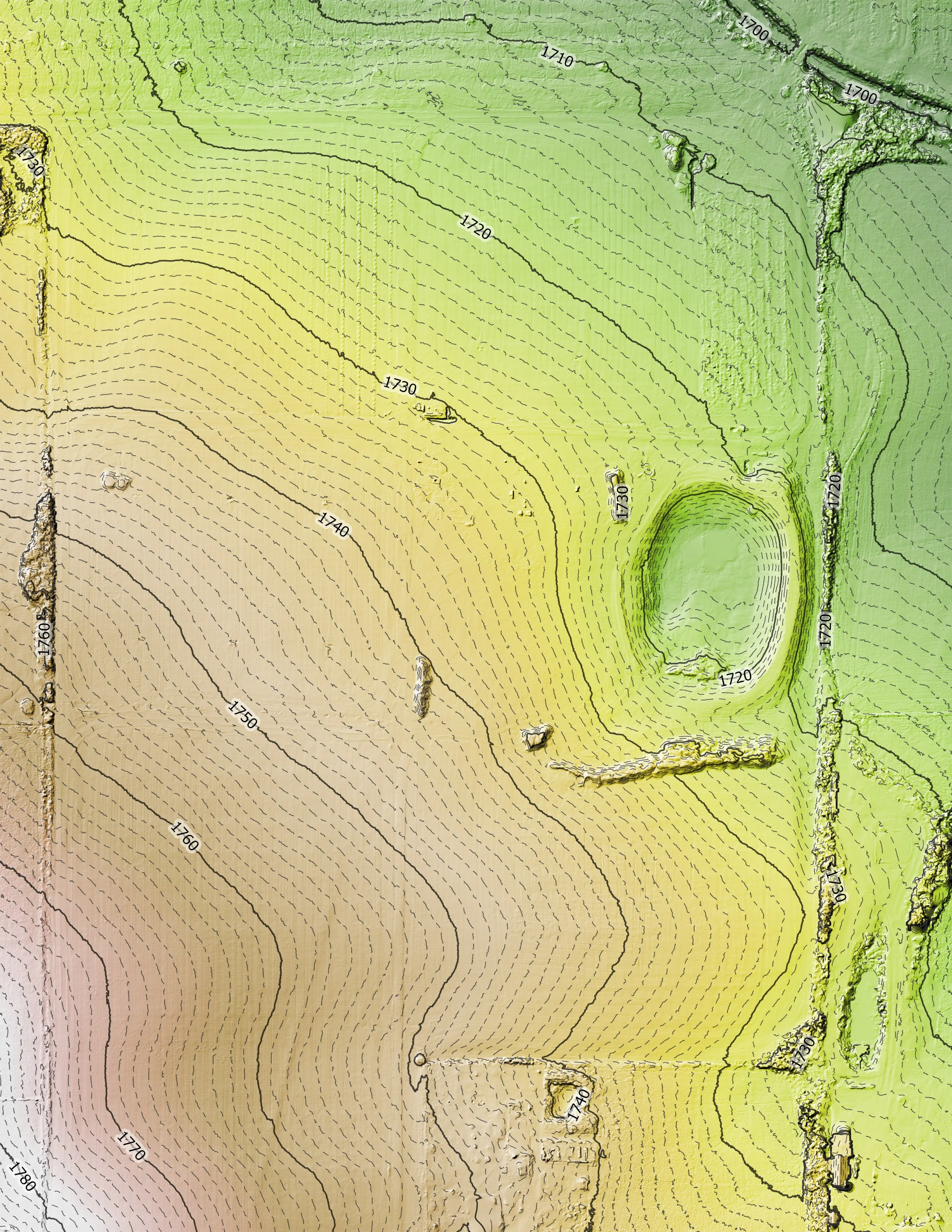
Elevation model of the whole farm with contour lines, fields and tree lines in relief.
Elevation model with contours over the whole farm.
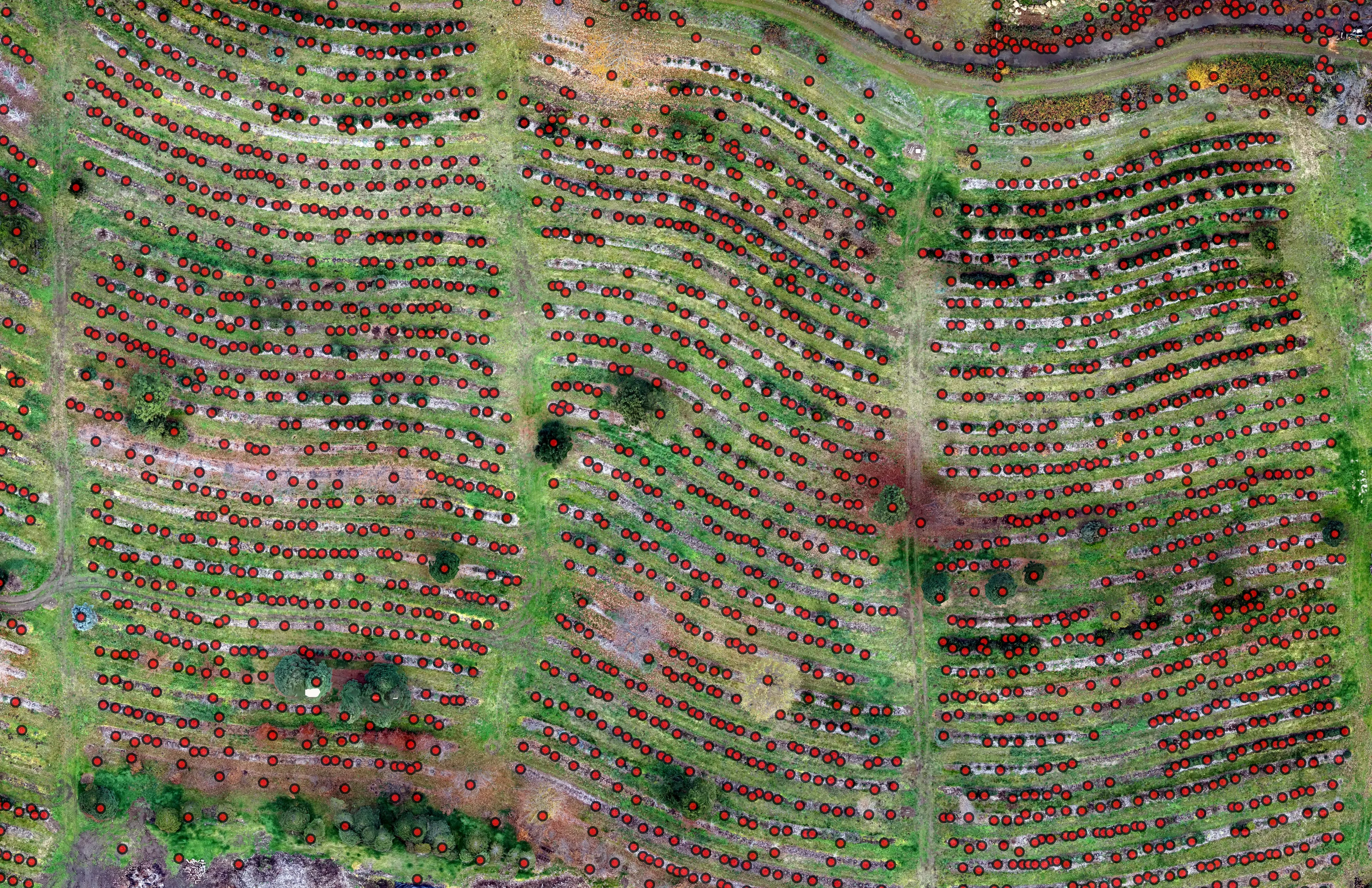
Orthomosaic of a farm with every tree marked as a point from the LiDAR canopy model.
Every tree as a point over the orthomosaic, with height from the LiDAR.
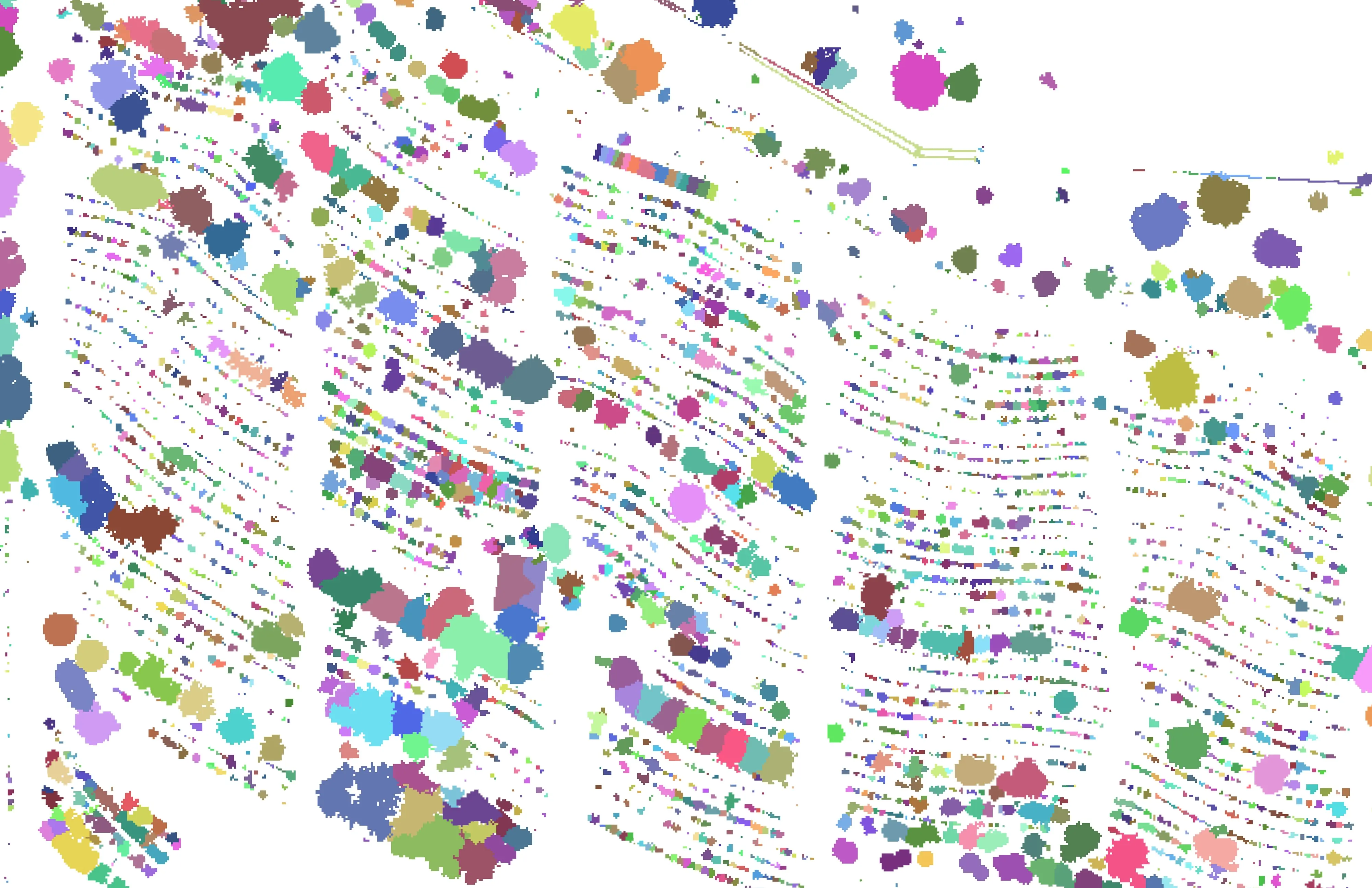
Classified raster of the farm: ground, low vegetation, and tree canopy in separate tones.
The classified raster. Ground, low vegetation, and canopy.

Let's talk about your farm.