The problem
Bats use abandoned mines. Habitat work at these ten sites needs the ground surface and the canopy above it, and steep chaparral hides the ground from the air and slows a crew on foot.
What we flew
- Freefly Astro carrying a YellowScan Mapper+ LiDAR, September 10 to 13, 2025
- Ten abandoned mine site areas, 779.4 acres in all. Harley Gulch alone is 580.6 acres and the smallest, Rathburn 2, is 5.5 acres
- 242 check points pulled across 8 sites and compared to the BLM and USGS topobathymetric LiDAR on NAVD88
What we delivered
- Classified point cloud for every site as LAZ, LAS 1.4
- 0.25 m bare earth model, surface model, and canopy height model for every site as GeoTIFF, with metadata
- The AOI shapefile and 9 GPS control points
- Vertical accuracy report with the overall and per site numbers
- Everything in EPSG 6339
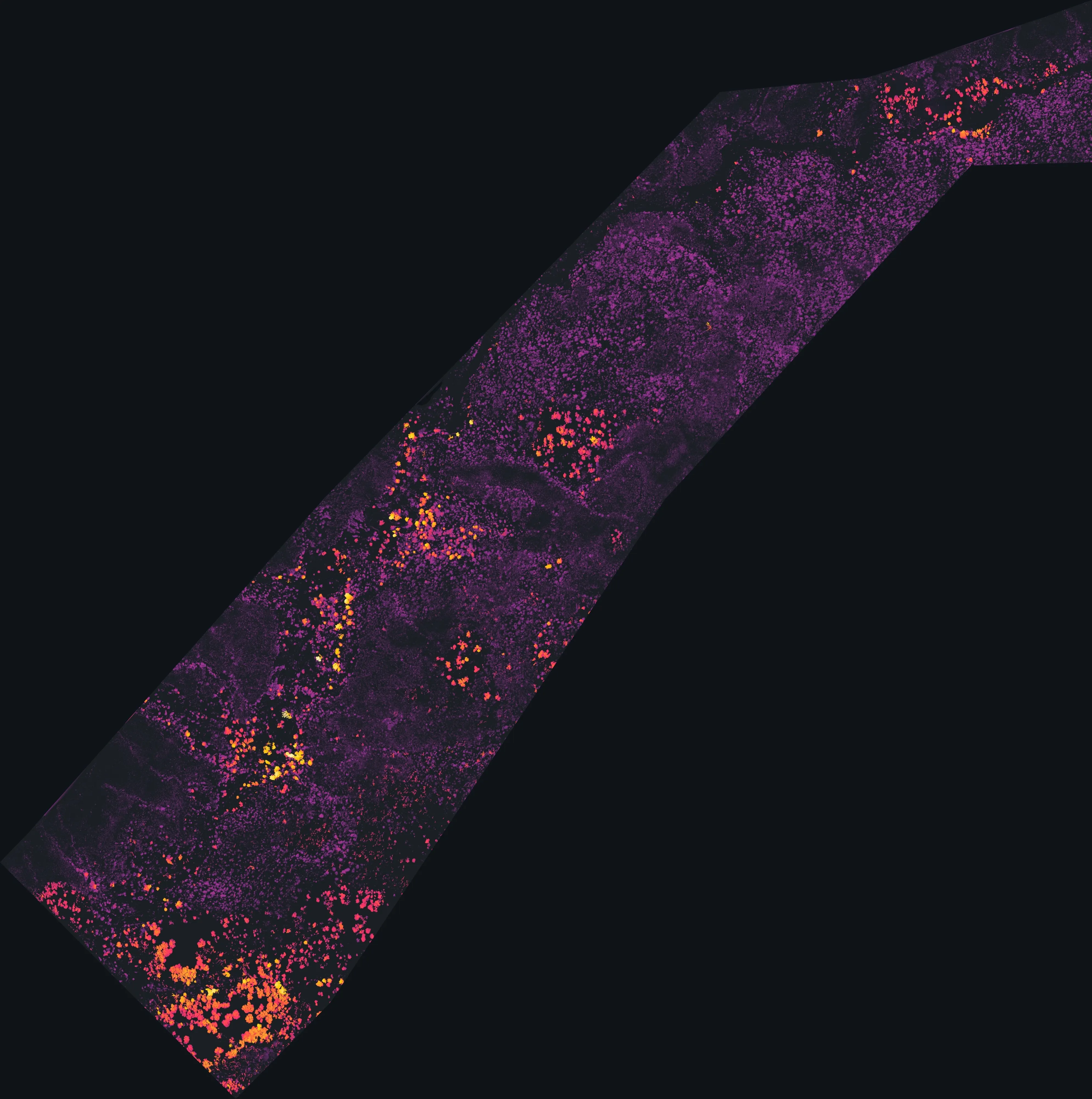
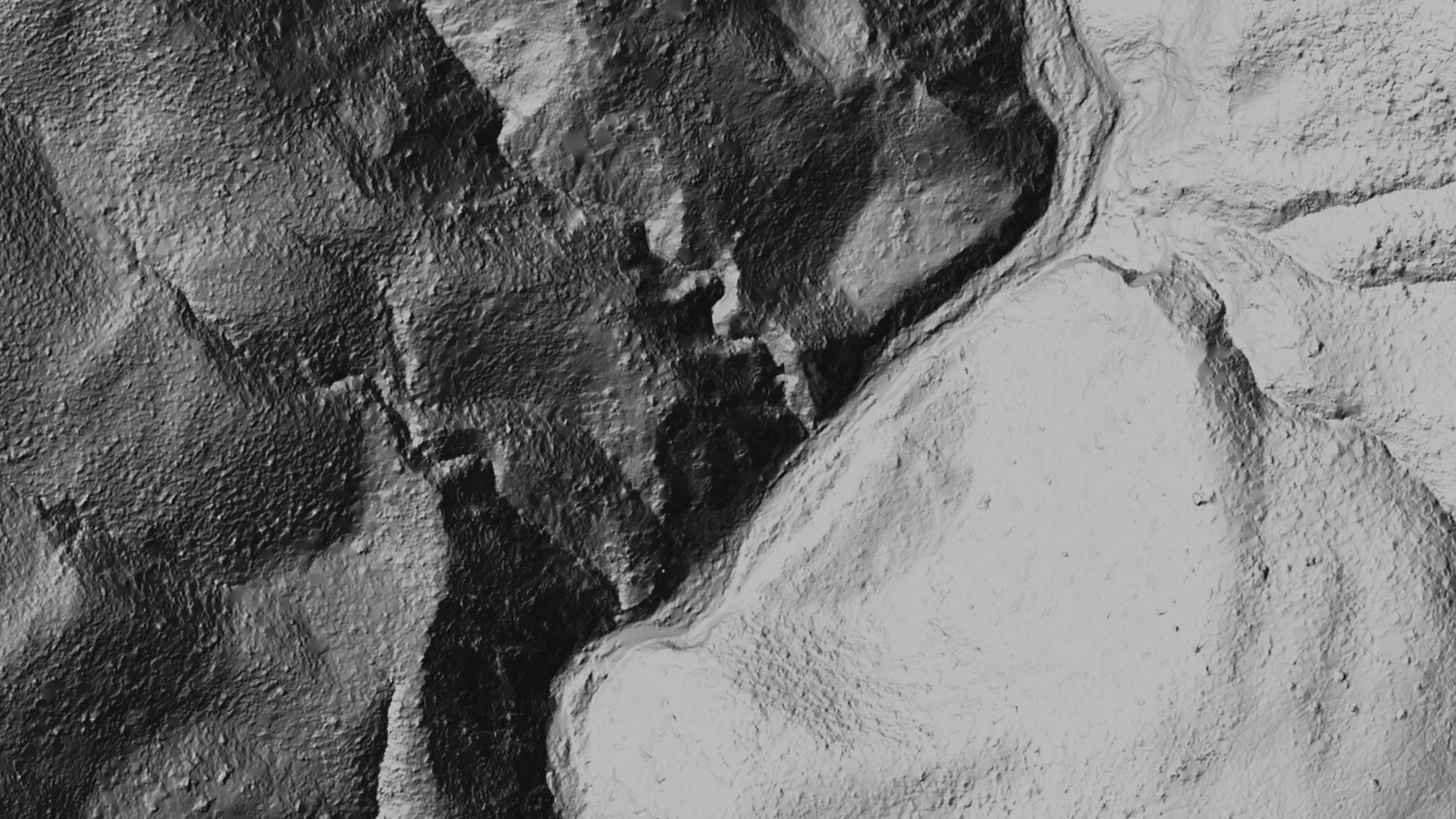
Chaparral grows thick on steep ground and imagery only sees the top of it. LiDAR puts enough pulses through the gaps to model the ground underneath, and at an abandoned mine the ground is the point. The 0.25 m bare earth model shows the ground itself, the canopy height model shows what is growing over it, and together they tell the habitat crew what they will find before anyone walks in. Point density at Harley East came in at 837 points per square meter.
We checked the heights against LiDAR that already existed. The BLM and USGS topobathymetric LiDAR covers this ground on NAVD88, so we pulled 242 check points across 8 of the 10 sites and compared. Bias came out at minus 0.118 m, RMSE at 0.320 m, standard deviation at 0.297 m. Per site RMSE ran from 0.122 m at Clyde to 0.408 m at Zimory Grow. That is one LiDAR dataset against another on steep ground, and the accuracy report gives every site its own number.