The problem
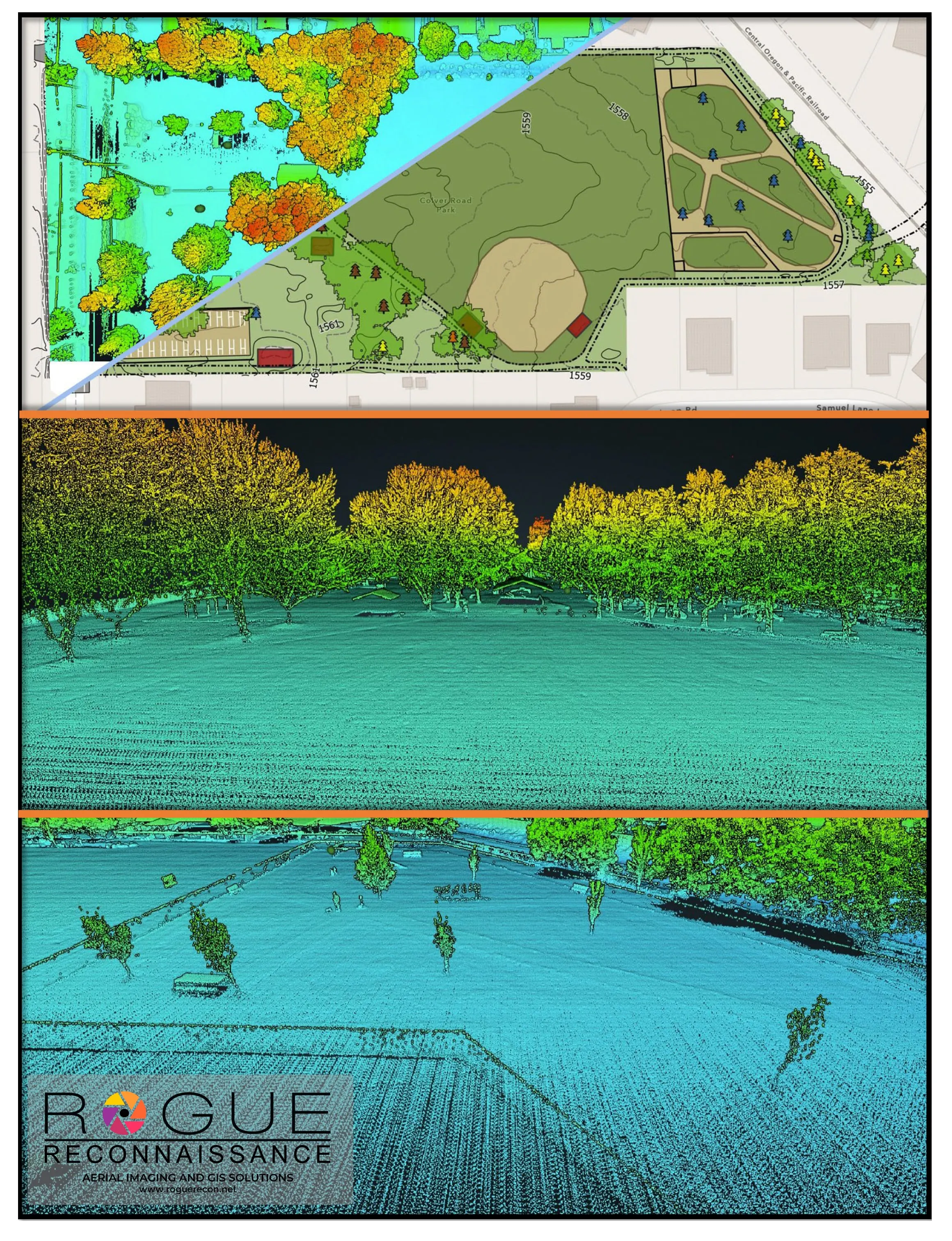
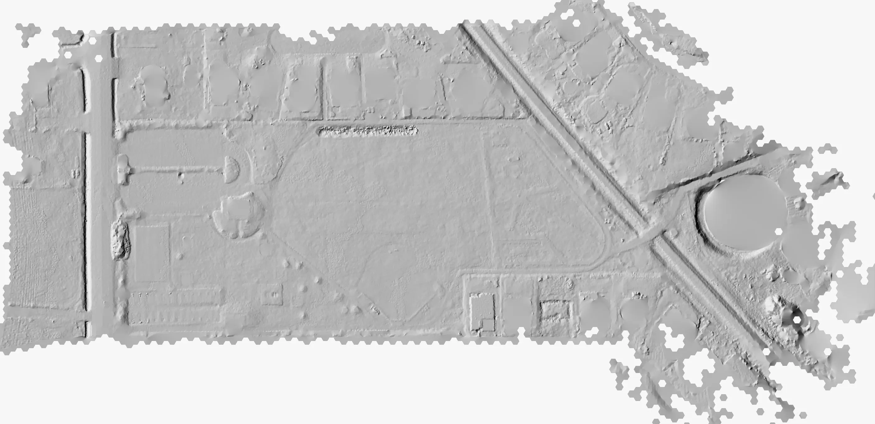
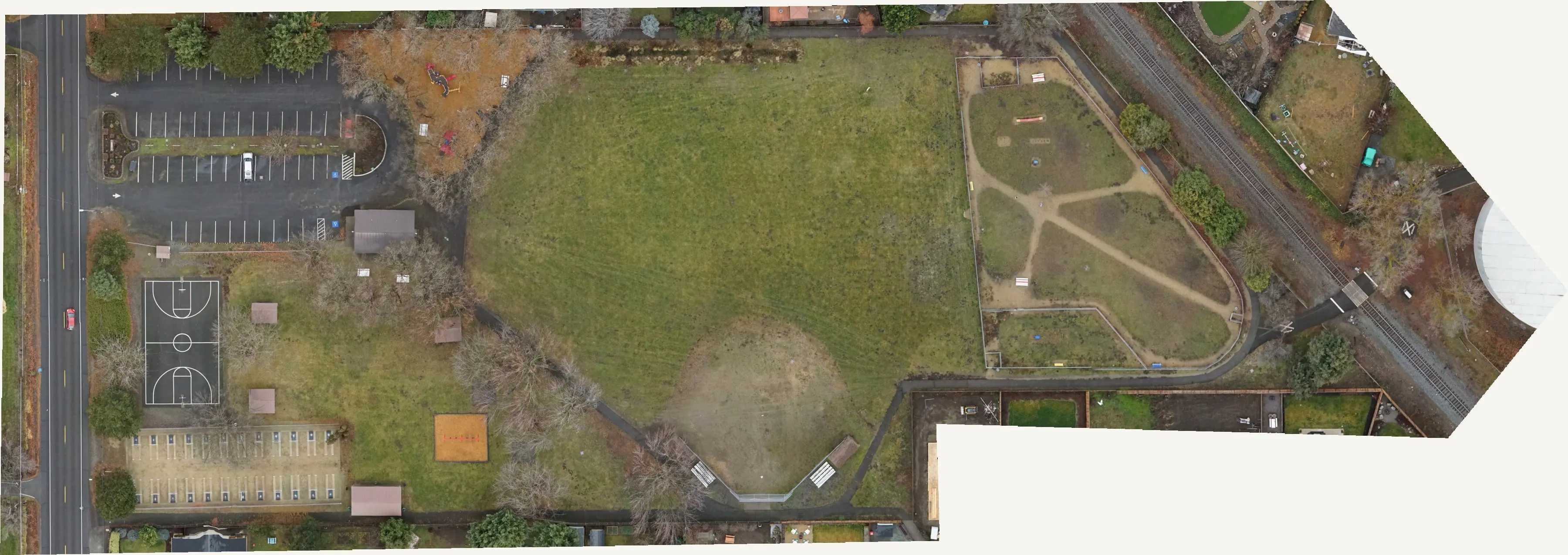
A park redesign needs the trees, the buildings, the paths, and the ground all on one current base, with heights, so the plan starts from what is actually there.
What we flew
- Drone LiDAR and RGB, December 22, 2022, leaf off, delivered in January 2023
What we delivered
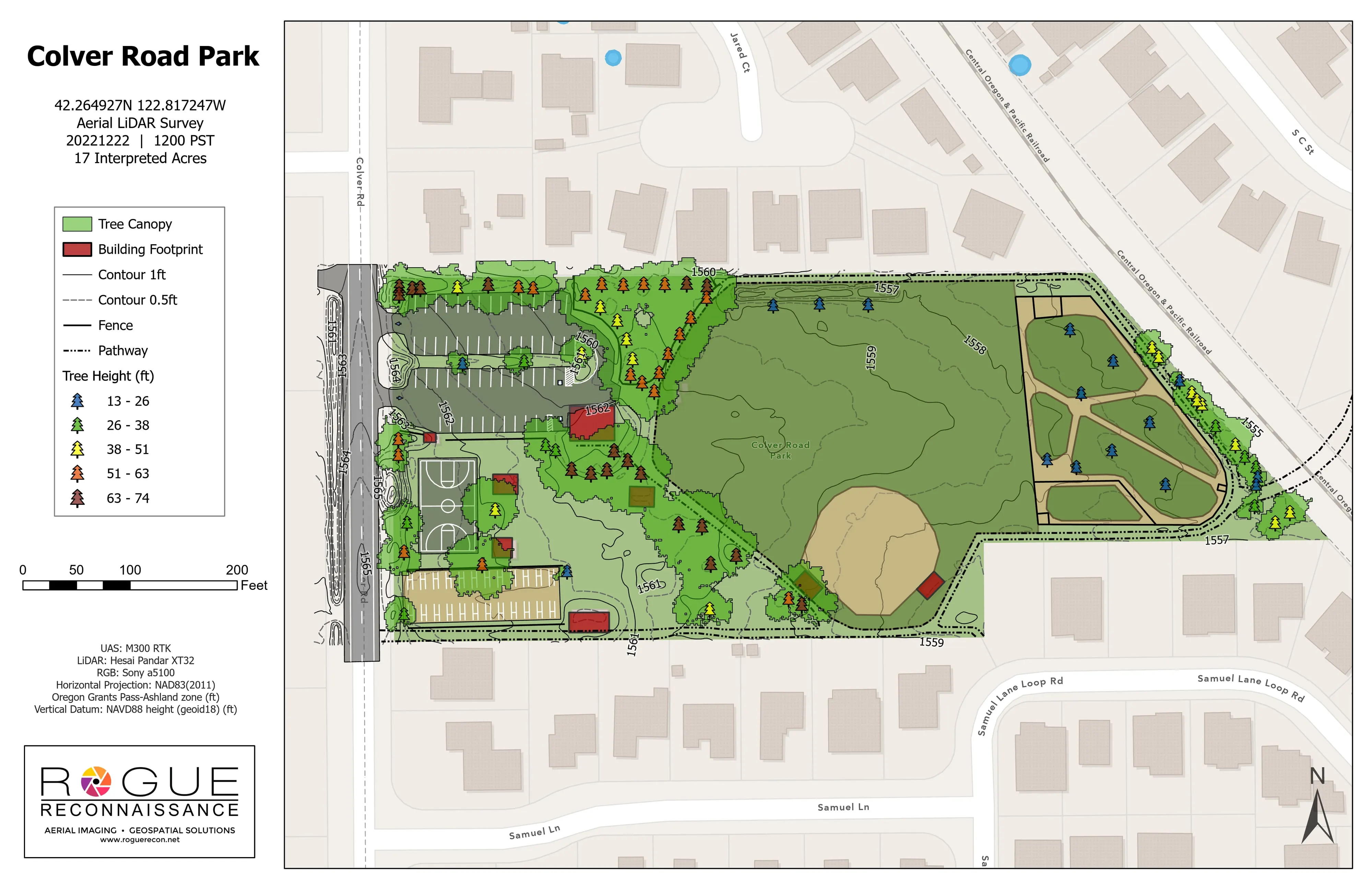
- Planimetrics map with tree canopy, building footprints, paths, courts, parking stalls, and contours
- Tree points with heights in classes, 1,038 small and 103 large trees detected
- About 80 trees checked in the field for species and diameter
- Classified point cloud and CAD exports