The problem
The design team needed current terrain over a developed campus, buildings, fields, and trees, before planning site work. Ground collection under the trees would have taken days.
What we flew
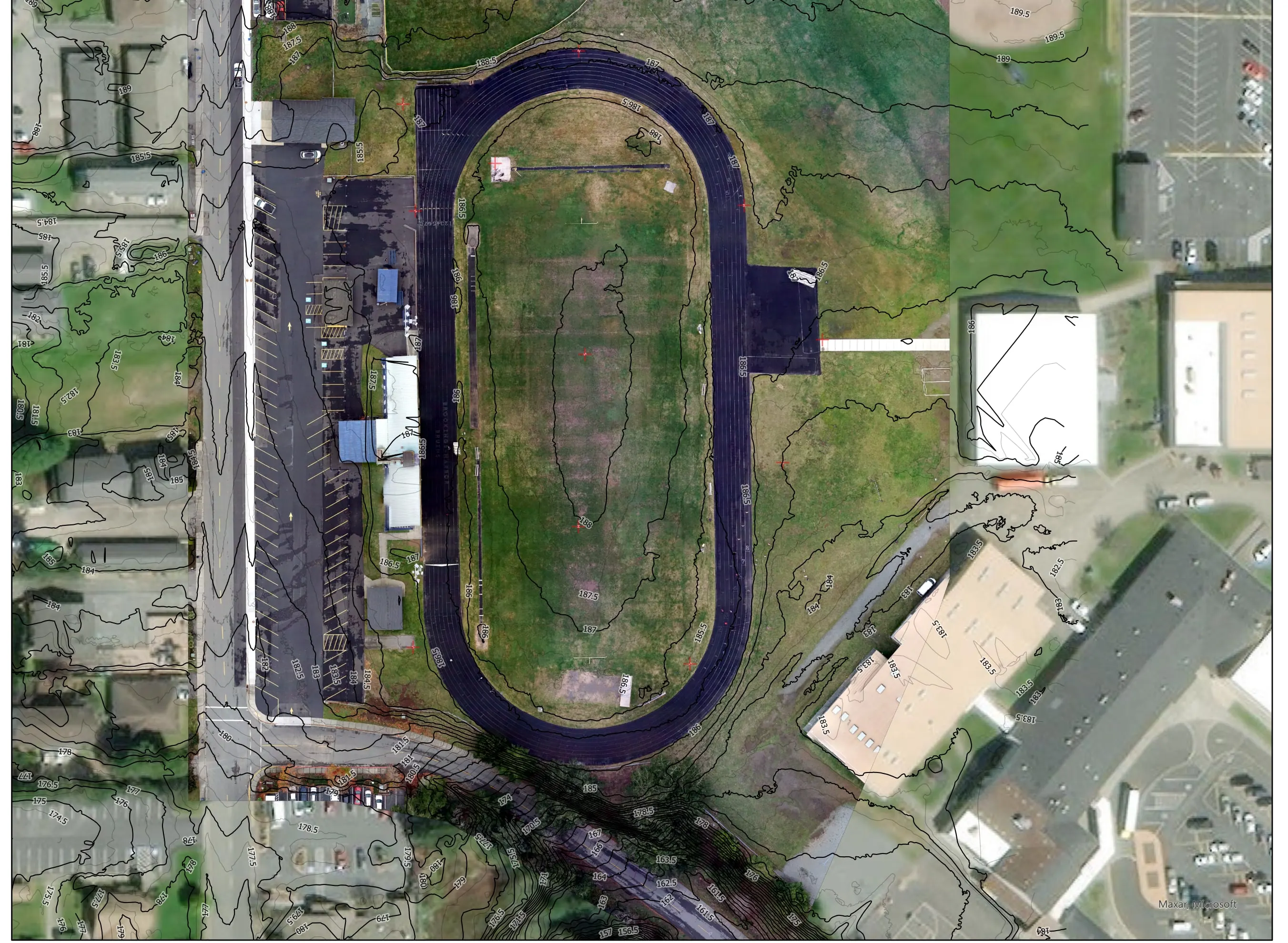
- Drone LiDAR on the Matrice 300 RTK with a Hesai XT32 scanner, PPK control on 10 ground control points
- RGB orthomosaic from a Sony a5100
What we delivered
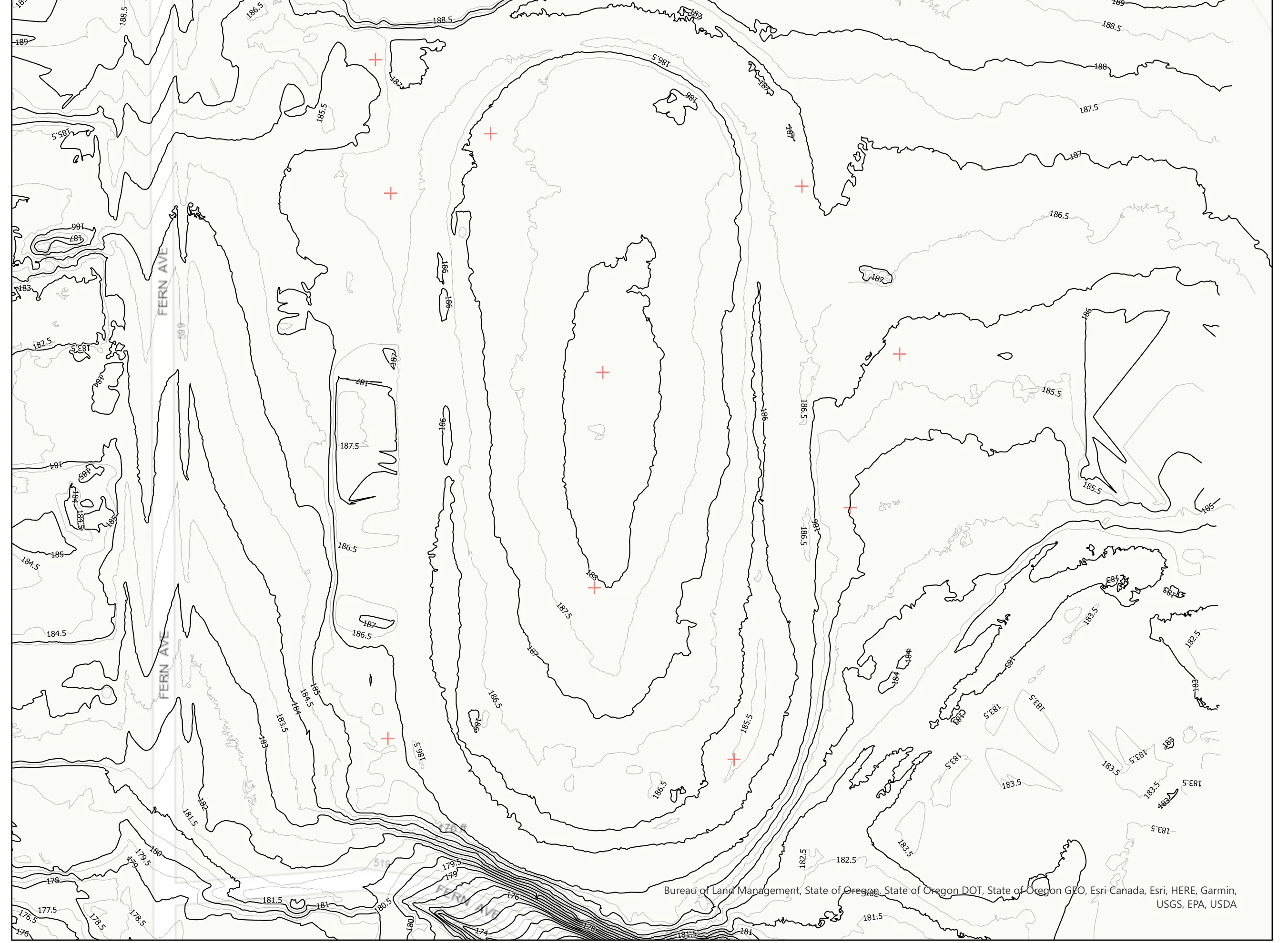
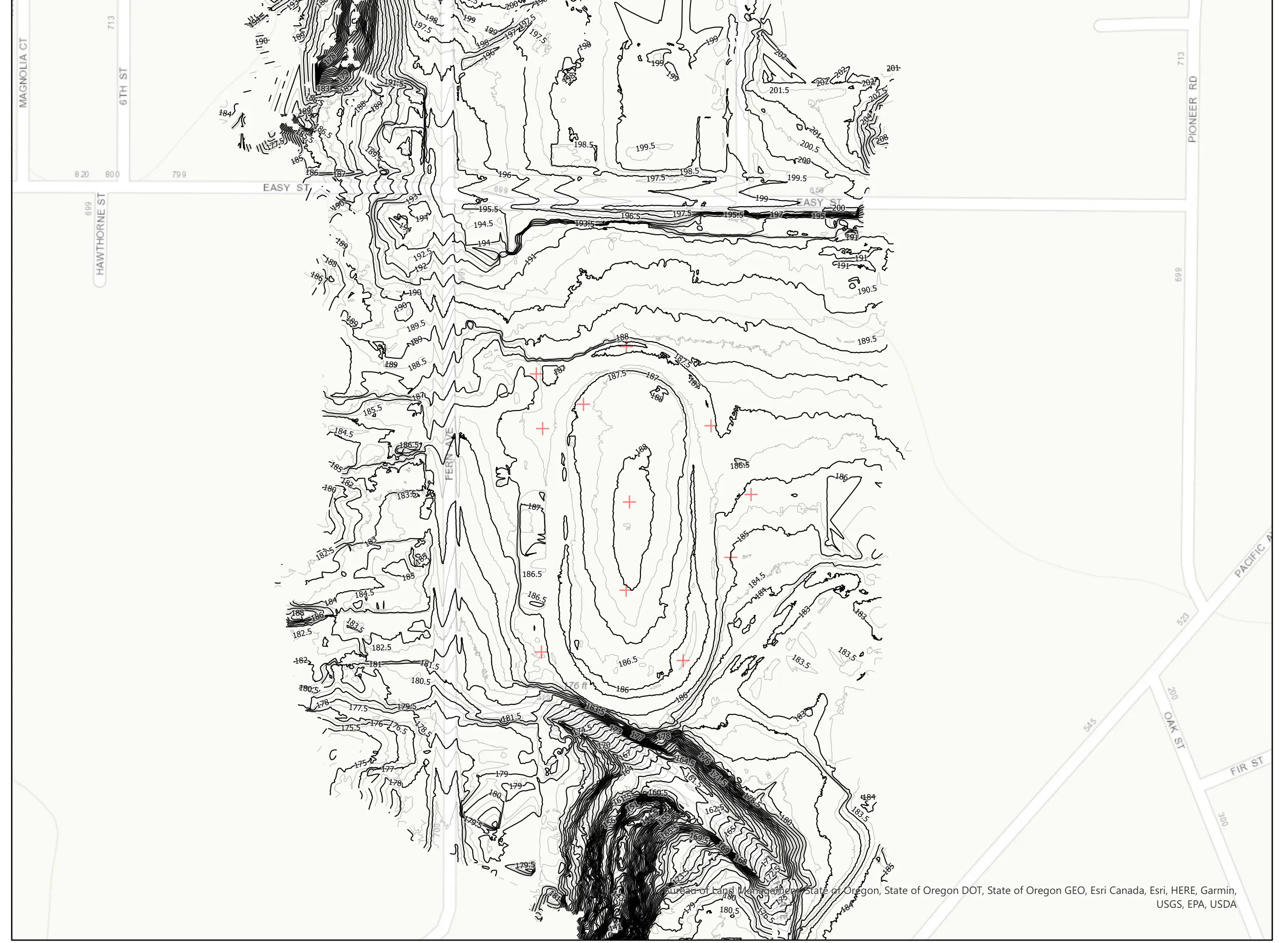
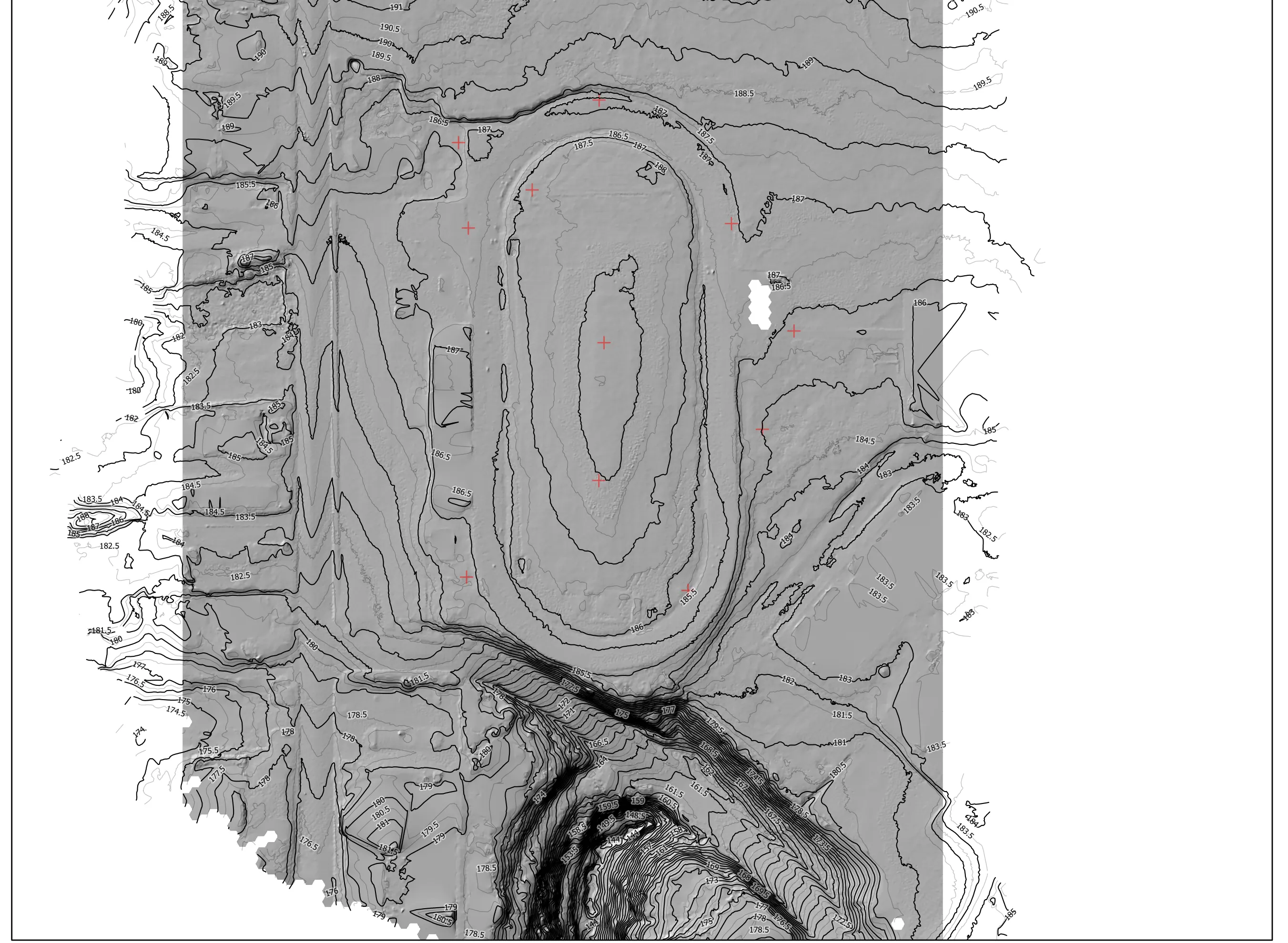
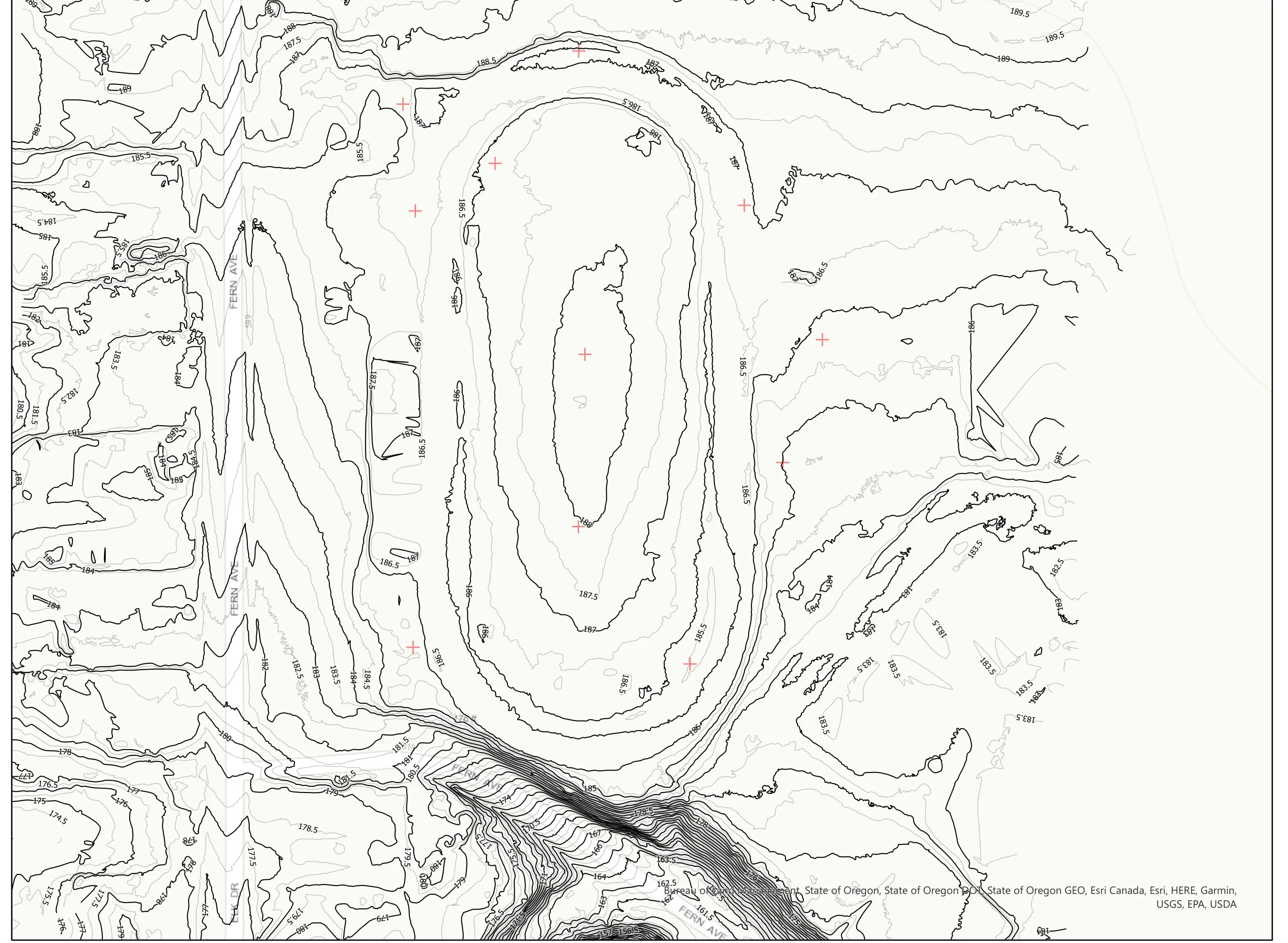
- Bare earth elevation model at half foot cells, with one foot and half foot contours
- Orthomosaic
- Seven plan view sheets and an accuracy report with the control point residuals
- DXF, LAS, and GeoTIFF in the engineer's coordinate system, Oregon Coast zone, NAVD88
The engineer’s team took the terrain from here. When a job needs a licensed surveyor, we bring one on.