The problem
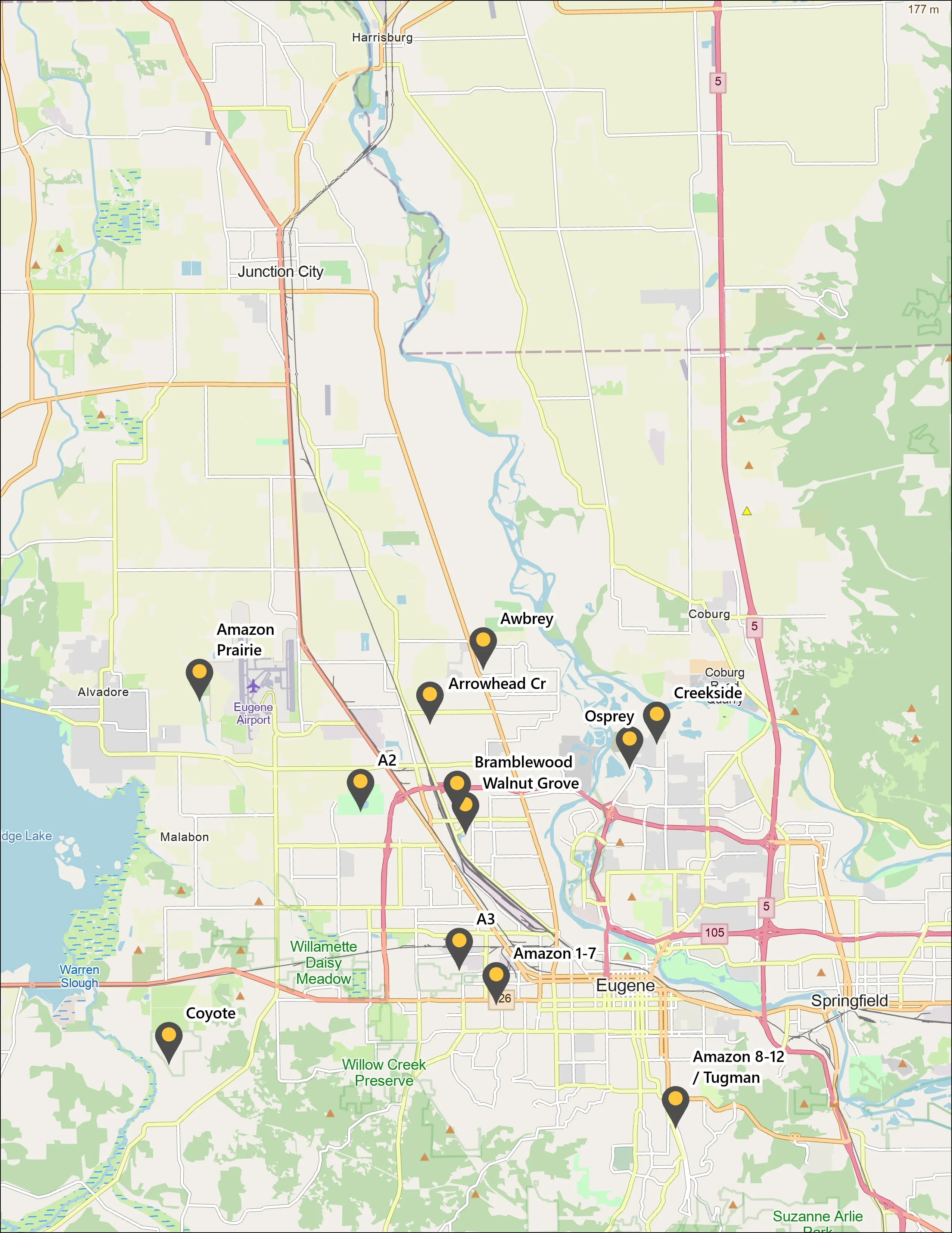
Emerald ash borer is coming to the Willamette Valley, and a city cannot plan removals, treatments, or replanting without knowing where its ash is. Eugene has hundreds of acres of riparian canopy along Amazon Creek where ash grows mixed with willow, maple, and conifers.
What we flew
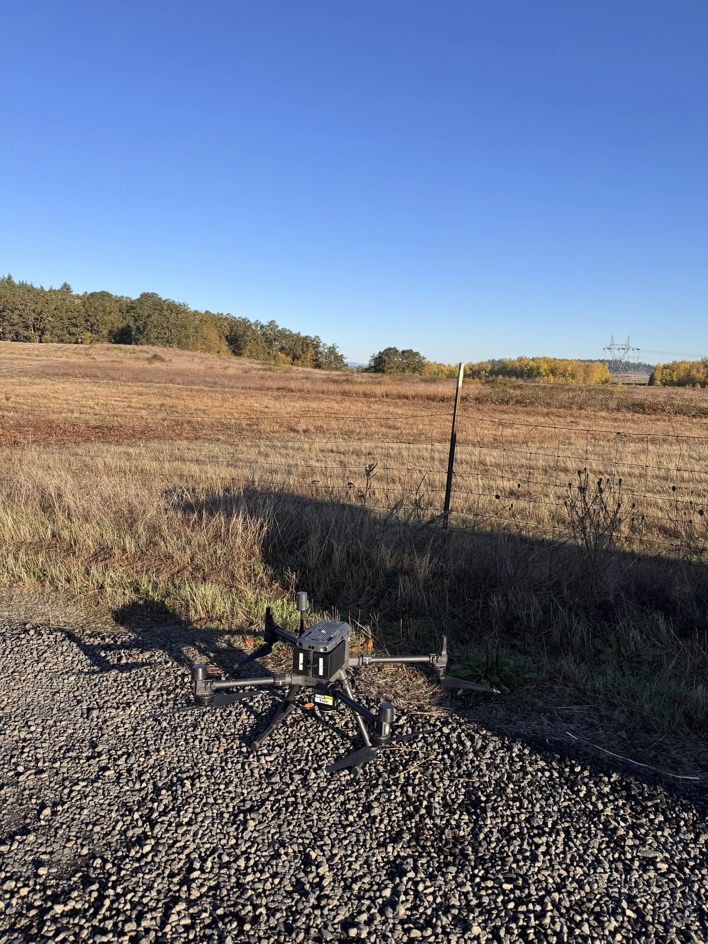
- Drone LiDAR, RESEPI with Hesai XT32 against an Emlid RS3 base, October 2025 and May 2026, for crown delineation and canopy structure
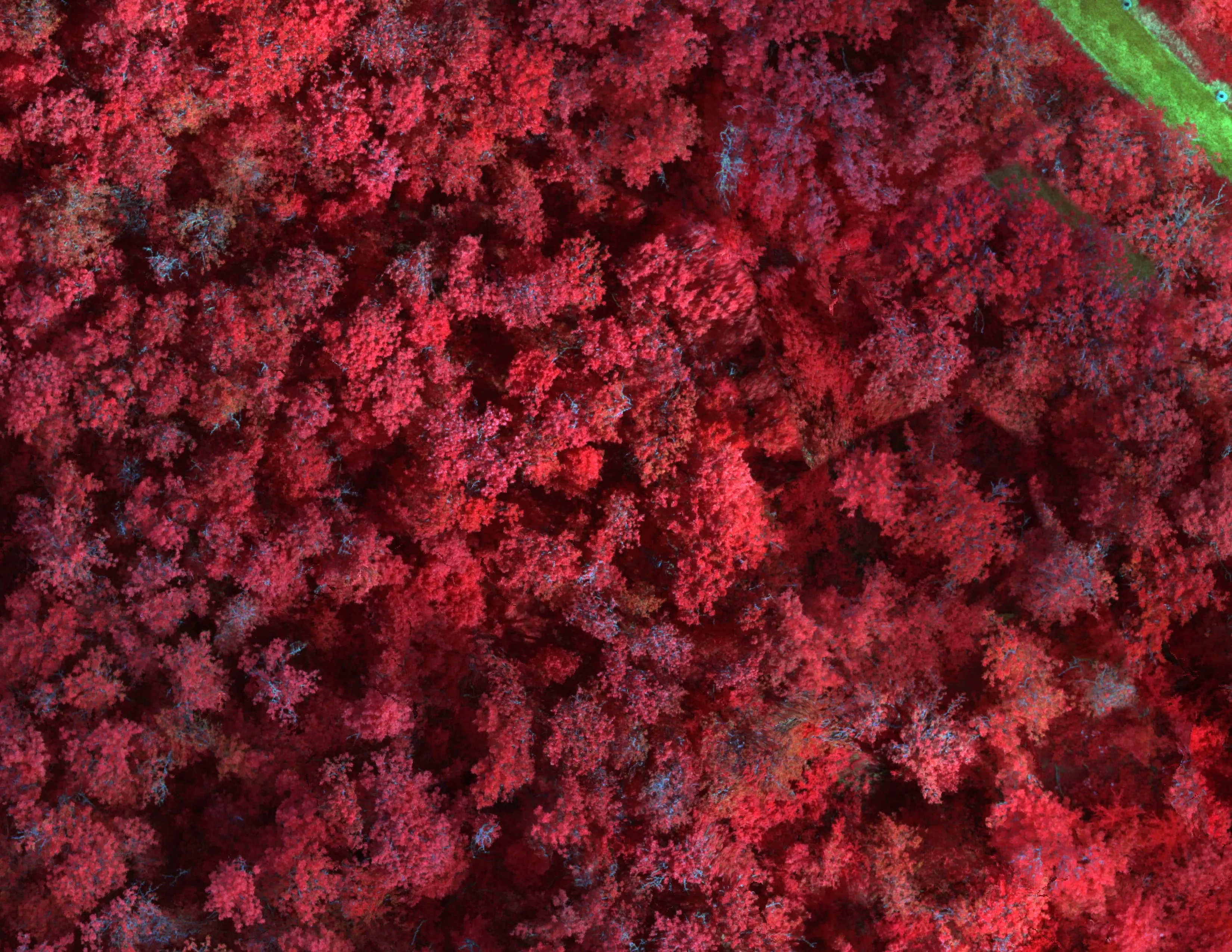
- MicaSense RedEdge MX multispectral, May 2026, for the spectral signature
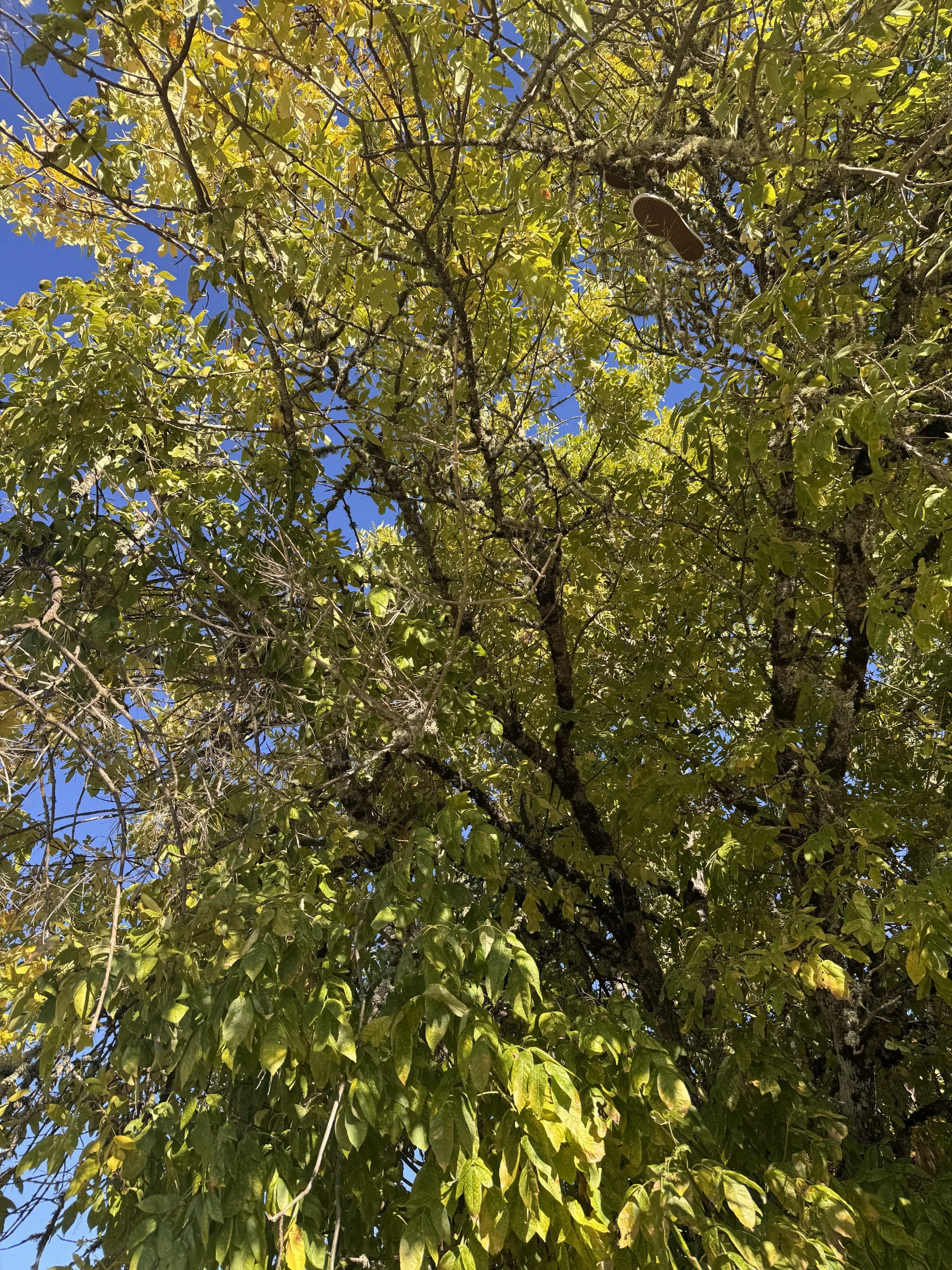
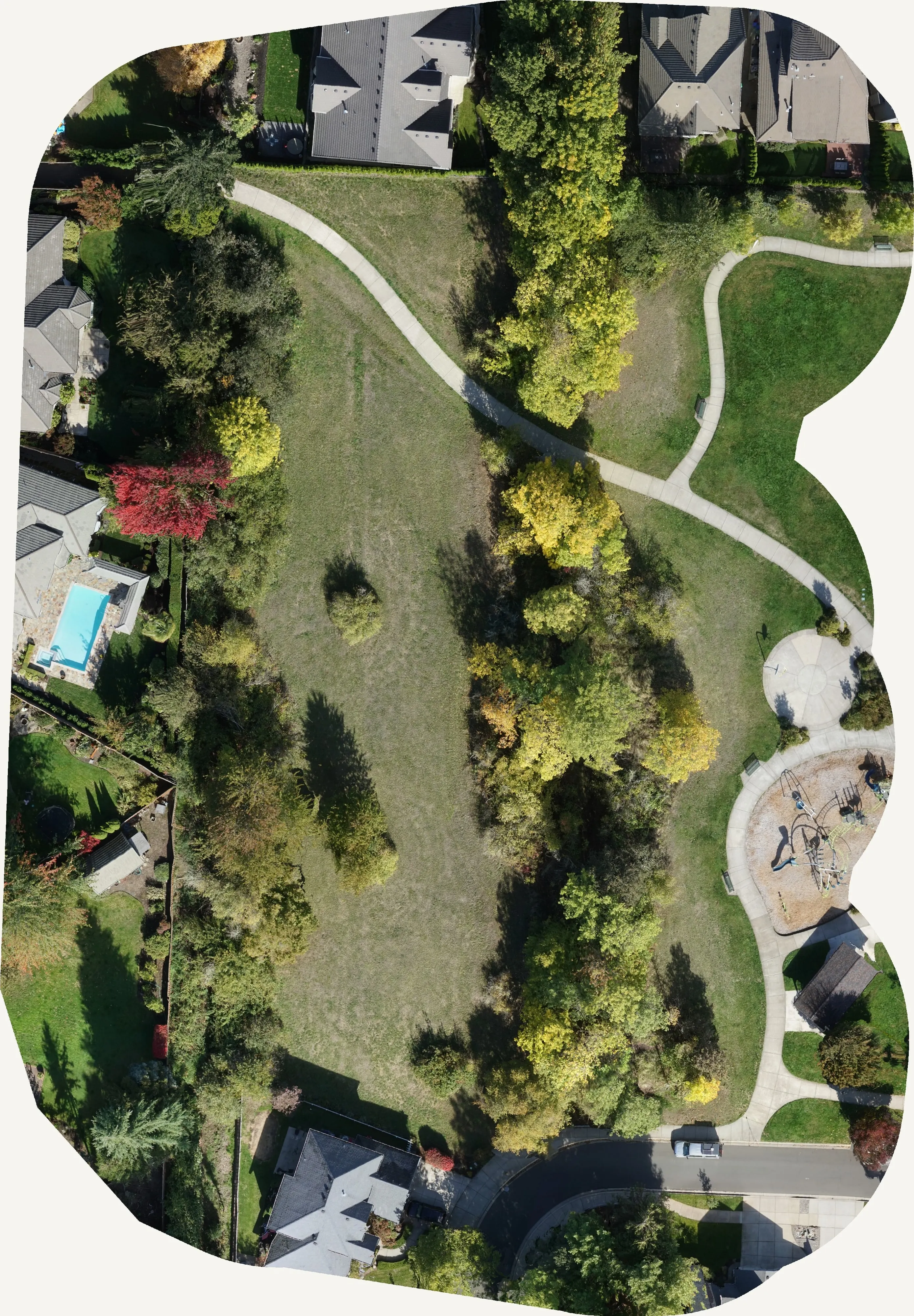
- Fall RGB for the senescence signal that separates ash from its neighbors
- Inside Class D airspace at KEUG under FAA authorization
- Ground truth crowns checked on foot across six sections, with confuser species included on purpose
What we delivered
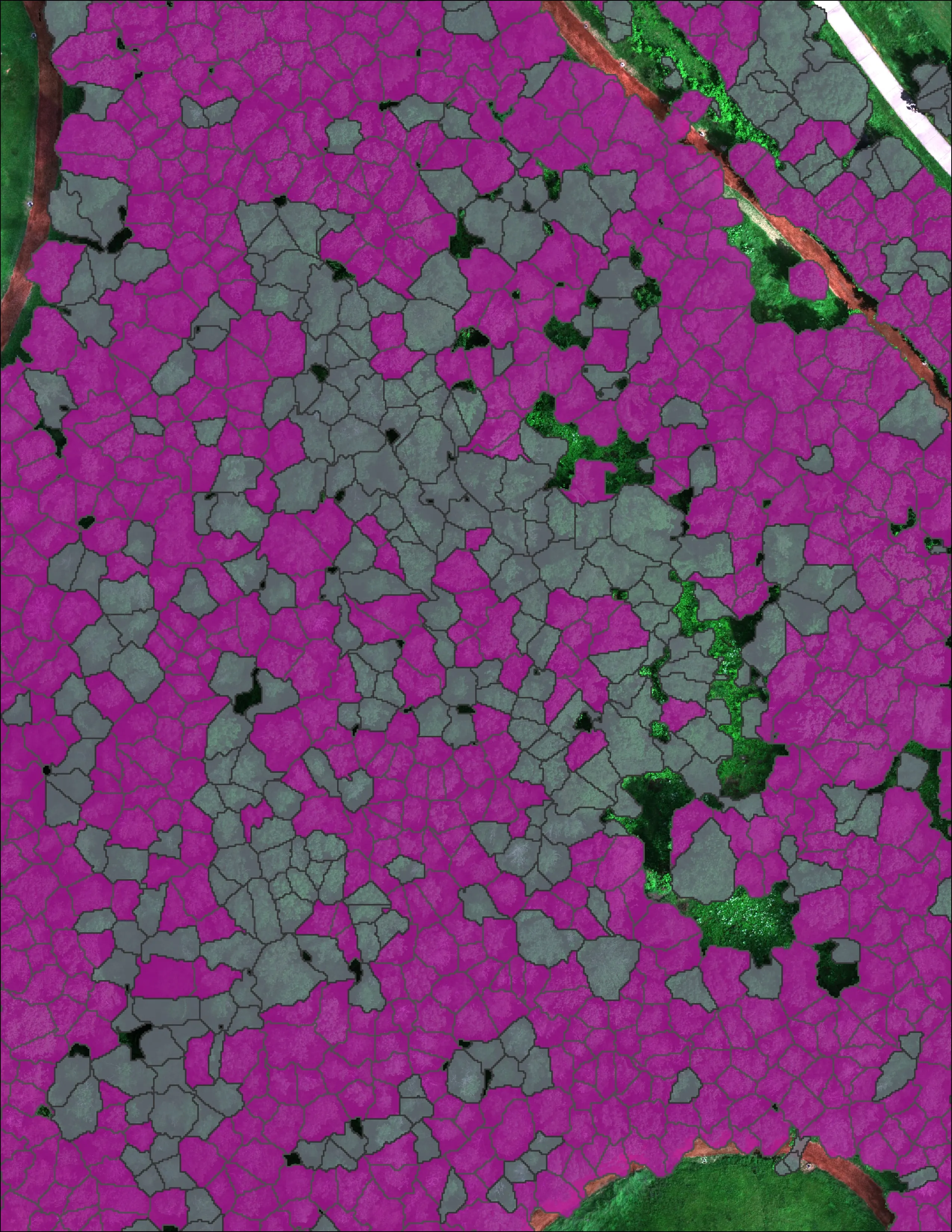
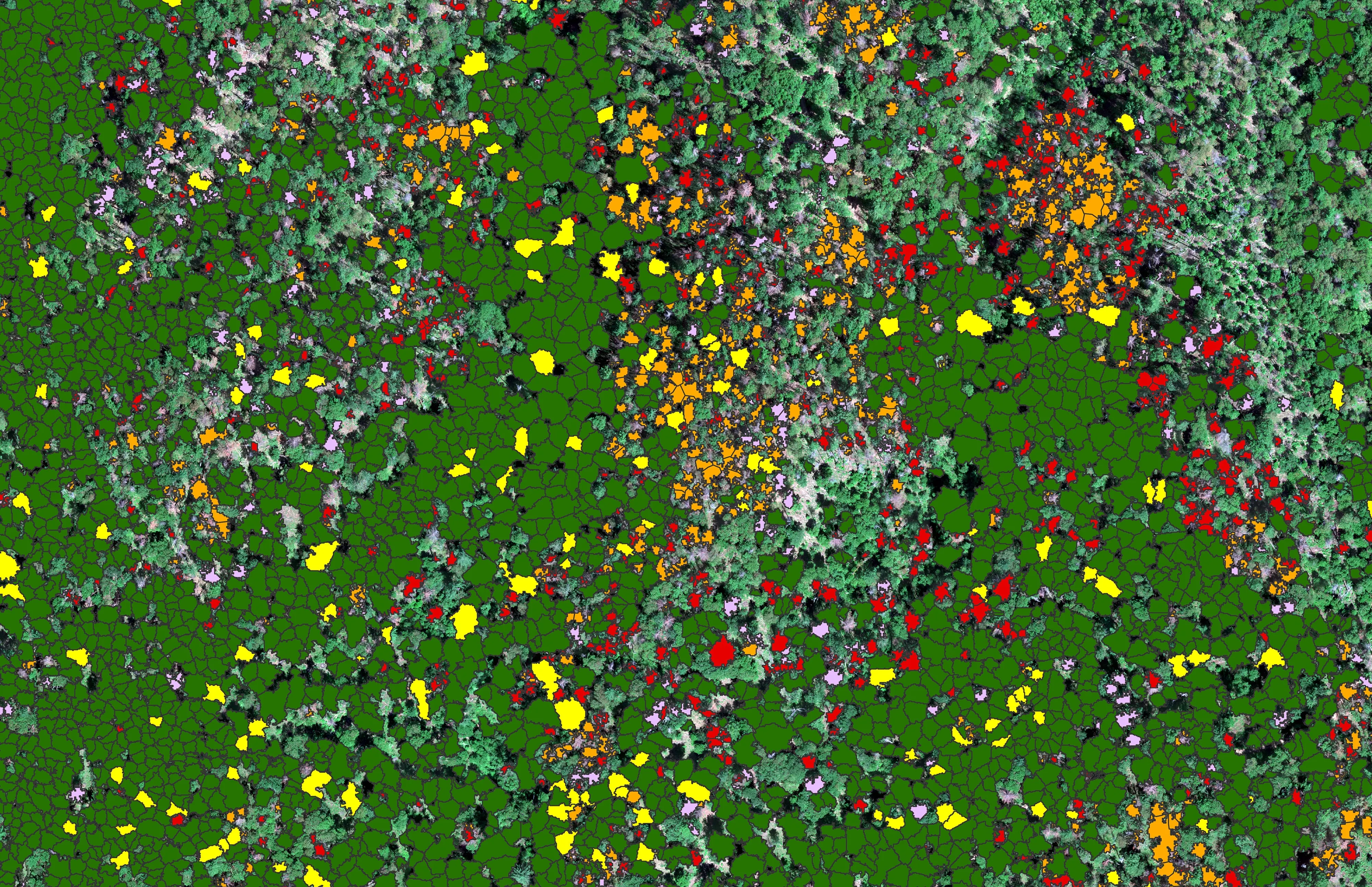
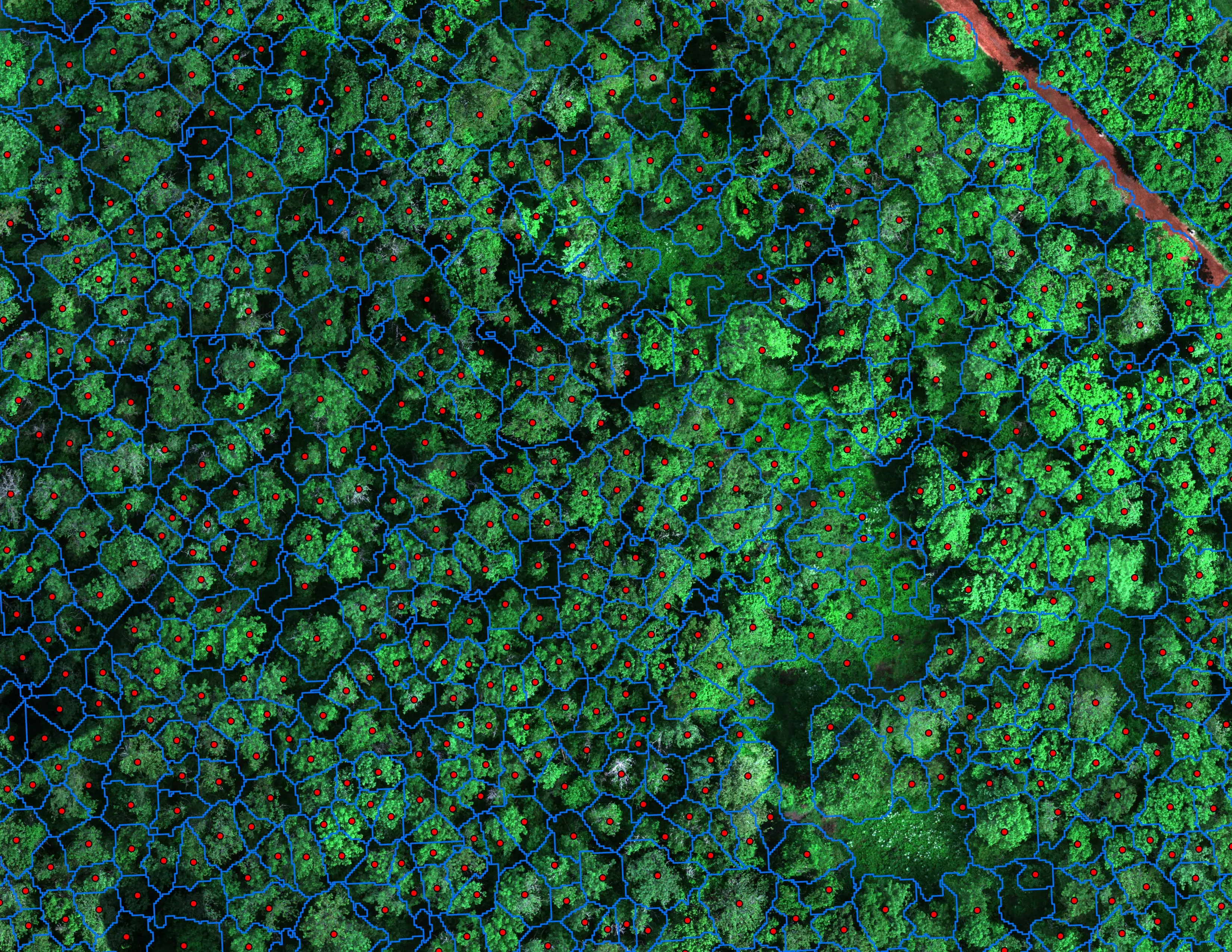
- Classified crown polygons for every tree, ash or not ash, with a probability
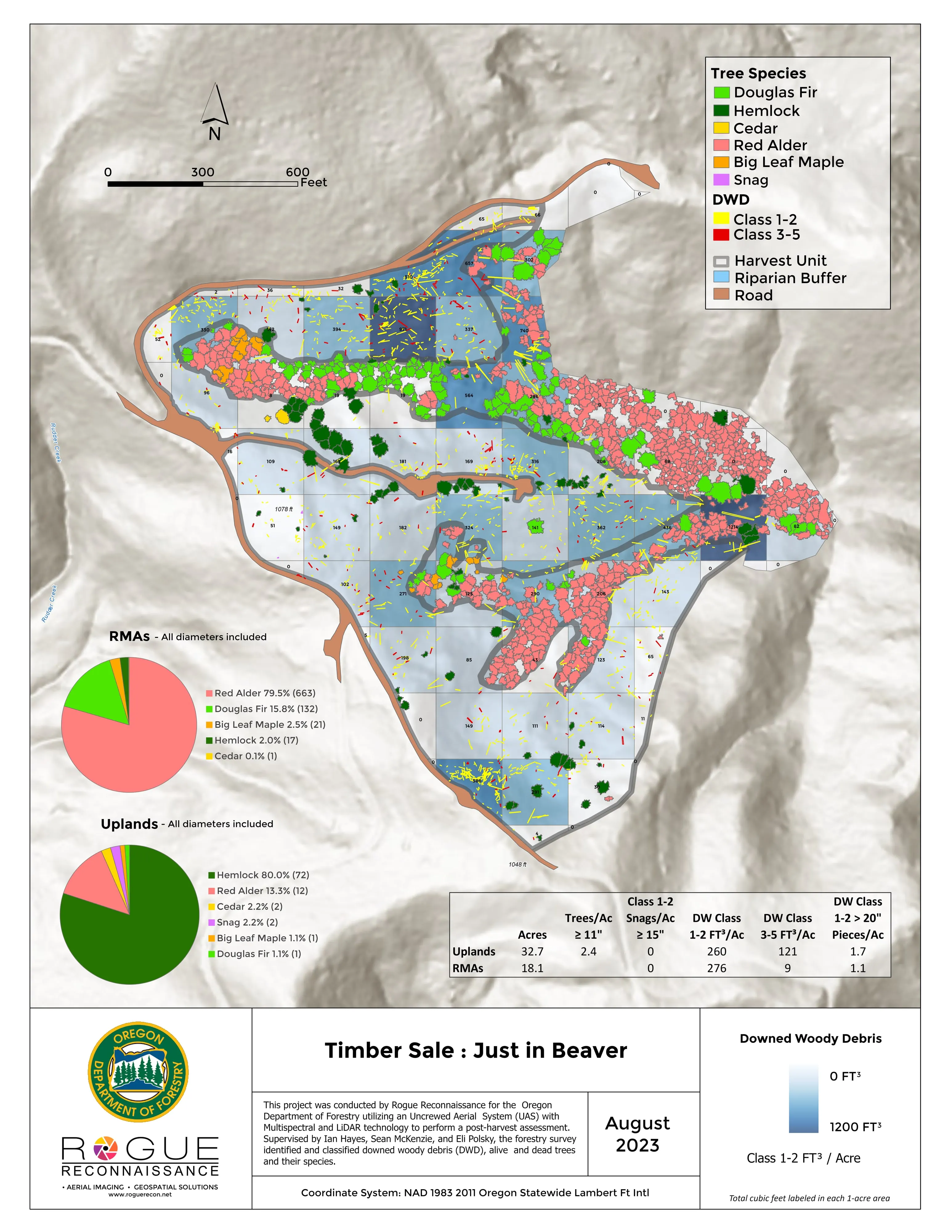
- Ash probability maps and per section summaries with the tally on the sheet
- Written report with the full method, the accuracy table, and the confusion matrix
- Hosted map products the city's GIS and forestry staff use directly
The model is a random forest trained on crowns a person checked on the ground, using the multispectral bands, vegetation and red edge indices, and texture. We validated it with leakage free repeated cross validation, which means no tree helps grade itself, and we report the number that came out.
The big lesson was timing. A cheap fall flight, when ash turns before the willow and maple around it, roughly doubled how much ash the model caught.
The work was funded by the City of Eugene Parks and Open Space Division with a grant from Oregon Department of Forestry Urban and Community Forestry.