The problem
Incidents that never get a crewed infrared flight still need nightly perimeter and heat intelligence. Type 3 fires, initial attack off a highway, a division the daytime aircraft could not see through smoke. Somebody has to put the heat on a screen before the day shift walks in.
What we flew
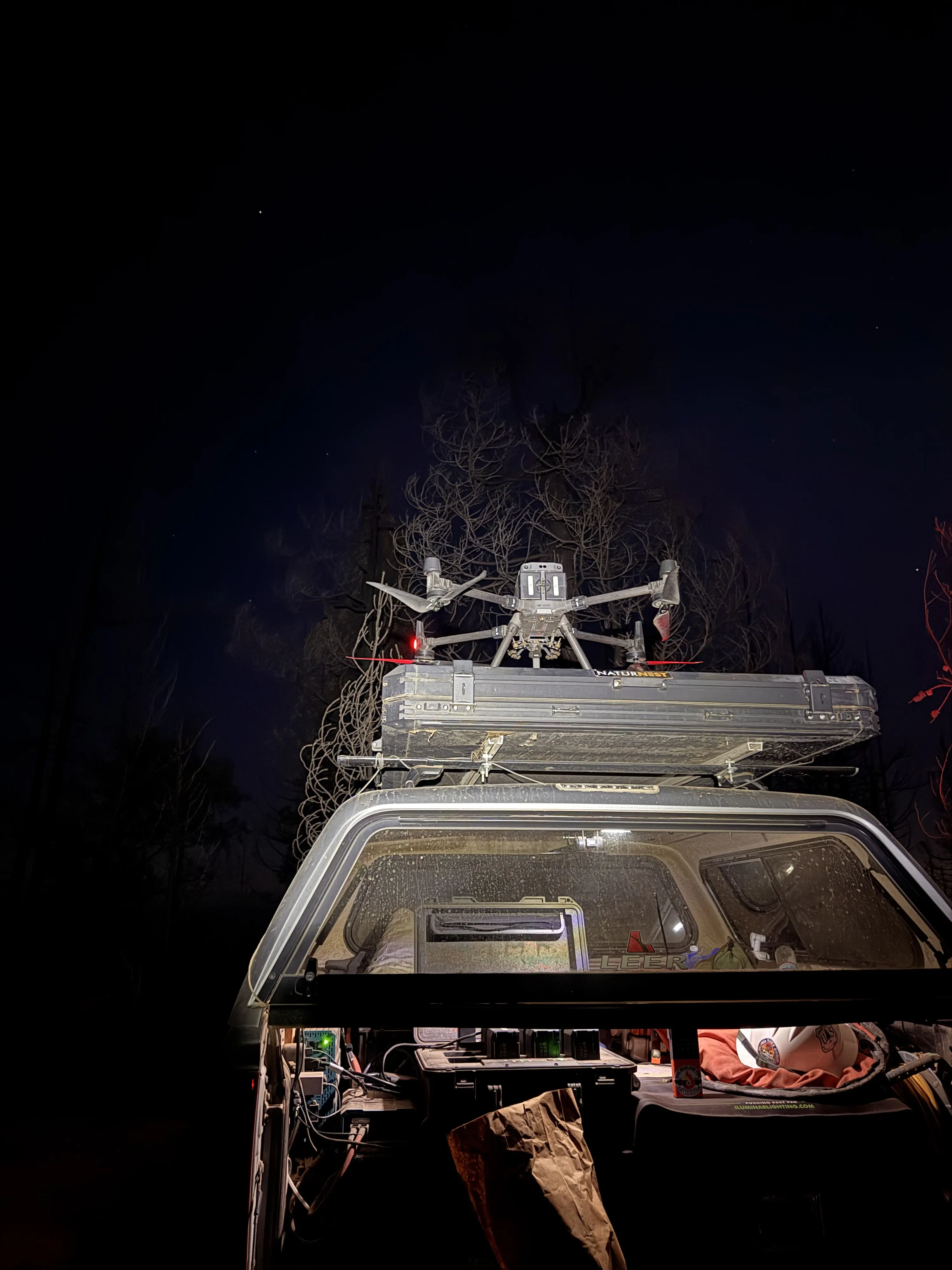
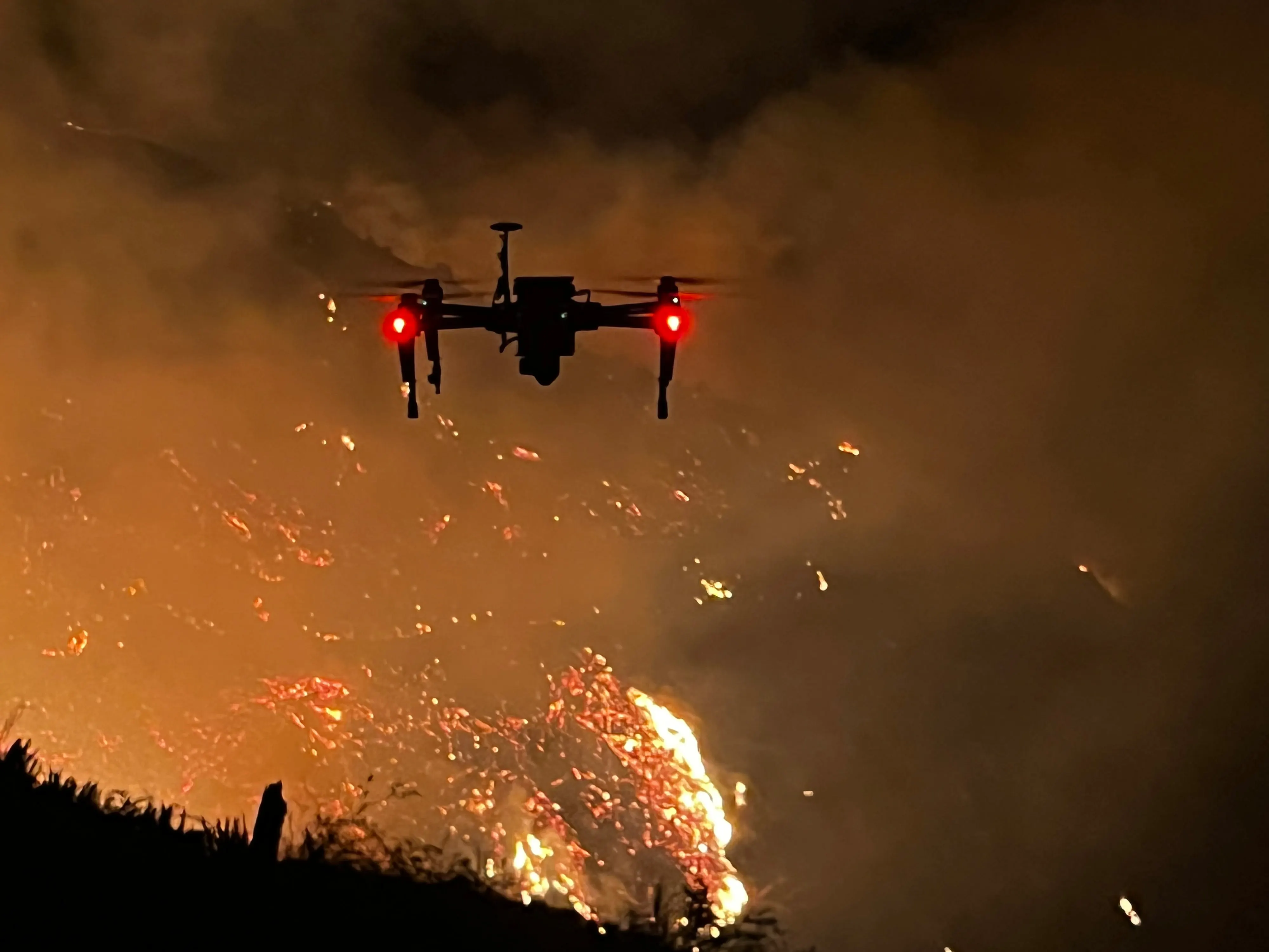
- DJI Matrice 300 RTK with the Zenmuse H20T radiometric thermal camera
- Night shifts, typically 1300 to 0800, after the incident's aircraft leave for the night
- Coordination with air operations, the IC, division supervisors, and the ARTCC, inside the TFR under 14 CFR 91.137
- Ordered as a Type 3 UAS resource, Unmanned Aircraft, Rotor Wing, under the state aviation framework
What we delivered
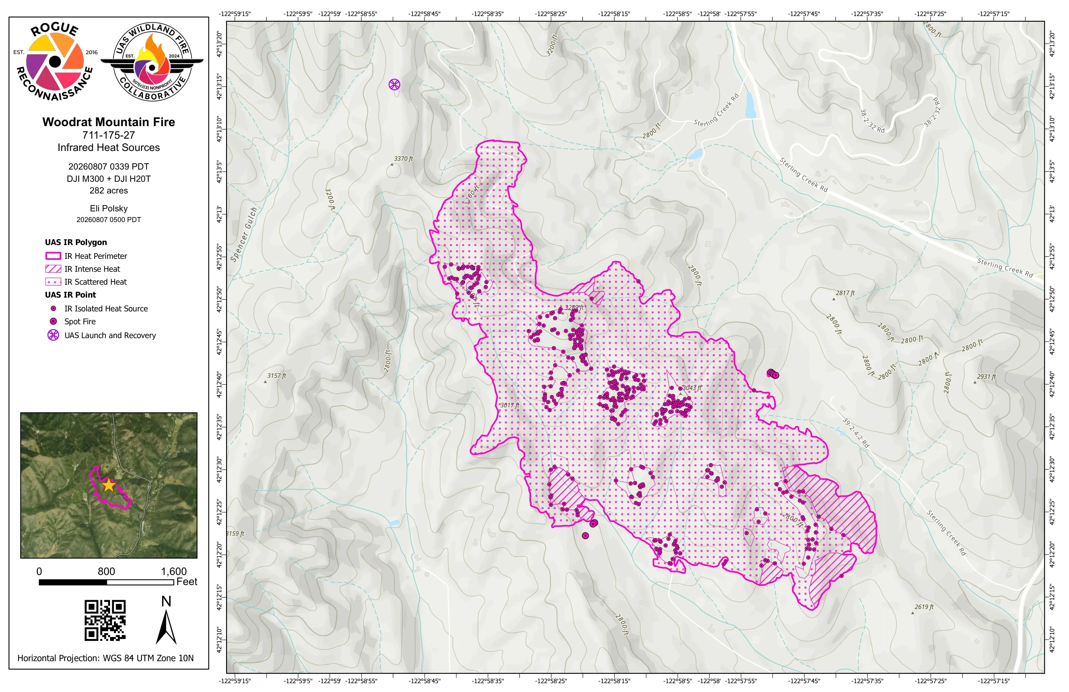
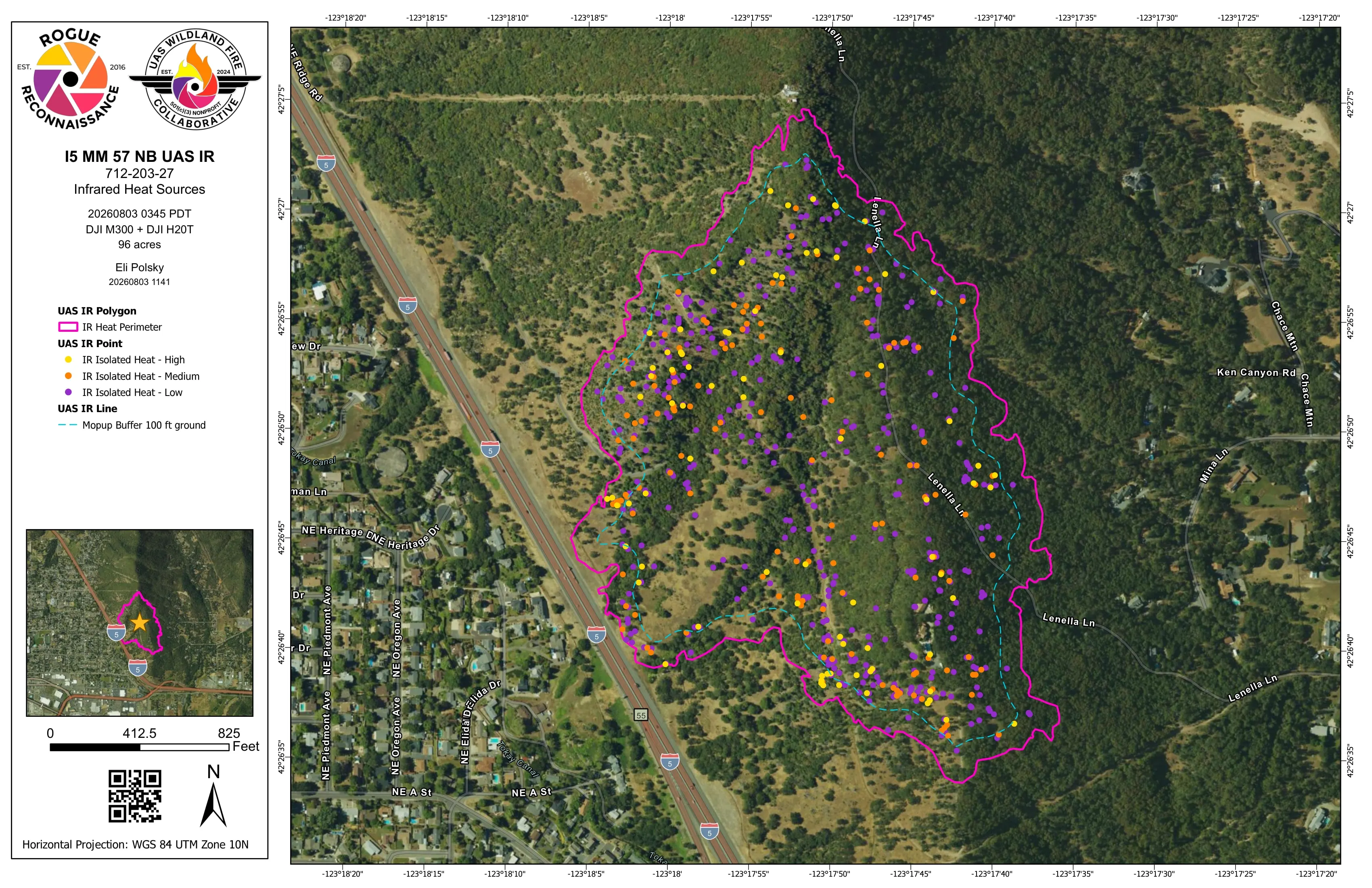
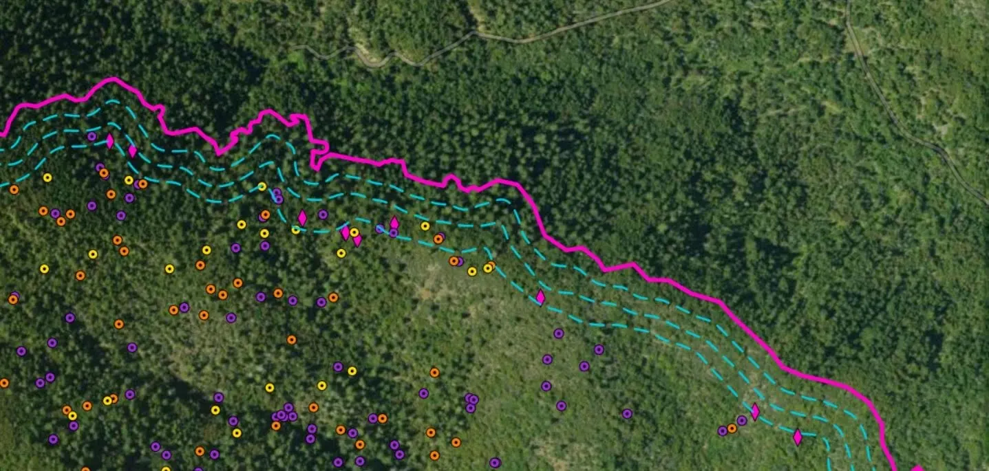
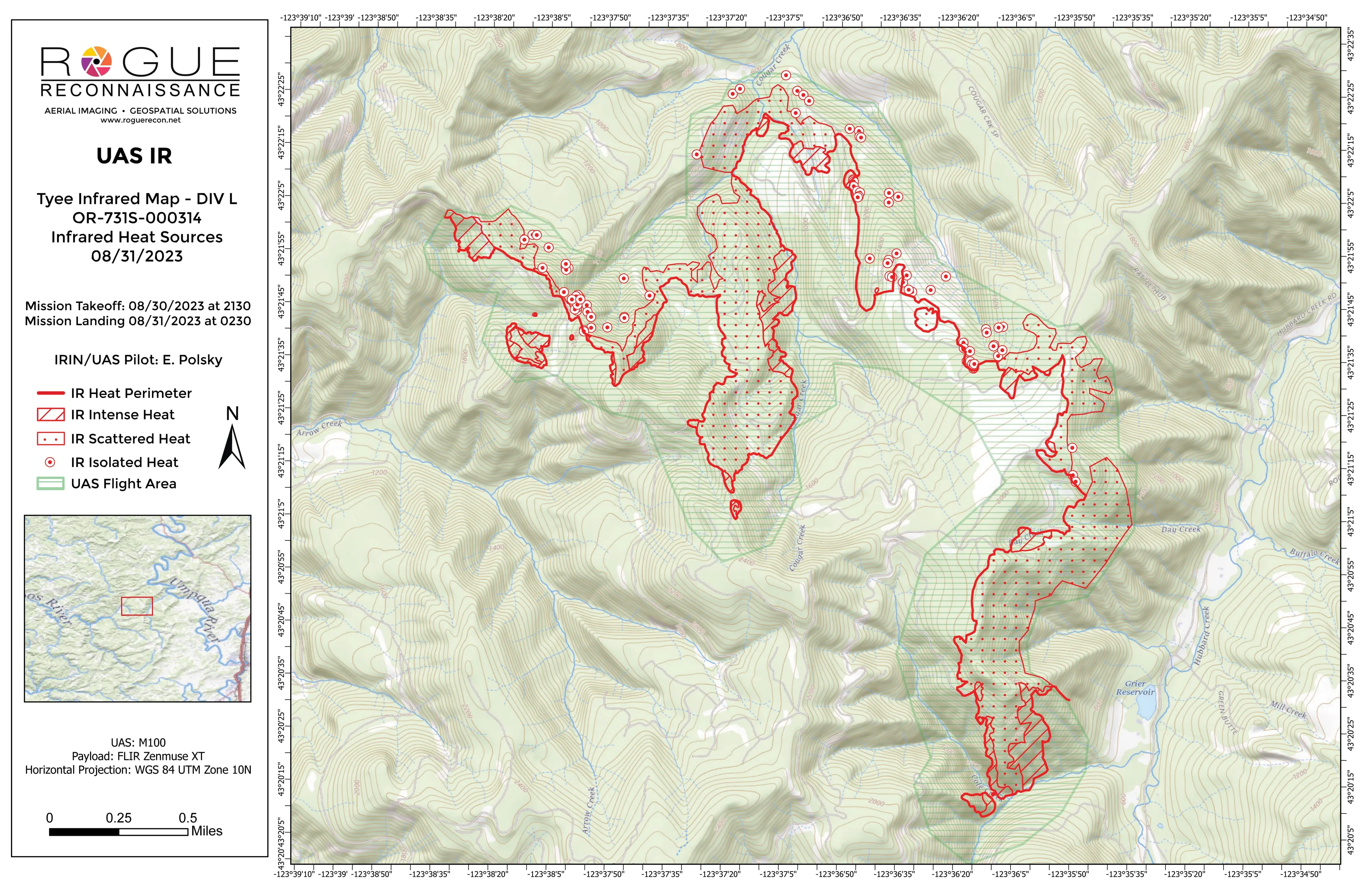
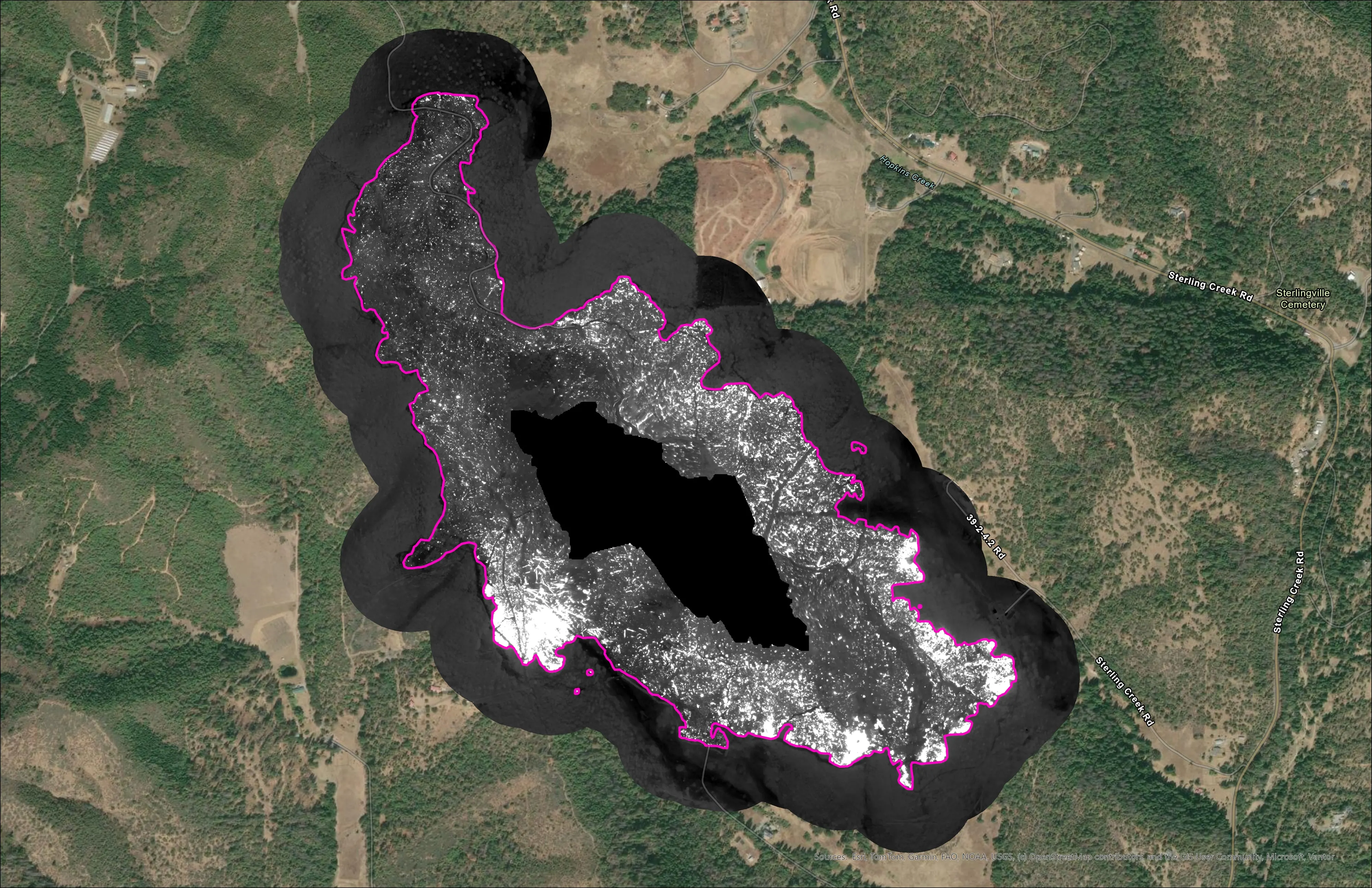
- Heat perimeter, intense and scattered heat, and isolated heat points classed high, medium, and low
- Mopup buffers set by the IC and operations, so heat inside the buffer reads as a task
- Templated 11 by 17 map products in aerial and topo pairs, with both operator logos and a QR to the live data
- Shapefile set and file geodatabase in the NIFS schema with the IRWIN identifier, KMZ for Avenza, TAK, FireSync, and Field Maps, orthorectified IR GeoTIFF
- UAS IR flight summary recording aircraft, sensor, pilot, times, coverage, and interpreted size
- Hosted feature service the crew opens in Field Maps at 0700
The first night on a new fire starts before dark: the resource order, air operations, the division supervisors, the TFR with the ARTCC, and a launch and recovery point that goes into the layer so the next shift knows where the site is. Then we grid the division with the thermal camera and fly it as a mapping mission.
Heat is classified from measured temperature. The package builds itself in about five minutes on the pipeline we designed and later handed to the UAS Wildland Fire Collaborative. It goes to the incident in the formats the GISS is already working in, the same night.
What matters is what the day shift does with it. A crew gets sent to the right corner of the division at 0700 because the heat was on a screen at 0300.
The 2026 season
East Evans Creek, division by division across fifteen nights from July 21 into August. The Interstate 5 fire at milepost 57 northbound near Grants Pass, initial attack off the interstate, where the incident’s first perimeter products came off our tailgate. Woodrat Mountain, first flown the night of August 6 and again through the month. Fielder Mountain in mid August, with a crew gridding for heat by hand on the ground the next morning where the map said to look.
Every one of those packages is filed night by night in the public archive at uaswfc.org/ftp, in the interagency folder structure, and nothing in it expires.