The problem
A large complex with several divisions and a night shift that needed to know where the heat was every morning.
What we flew
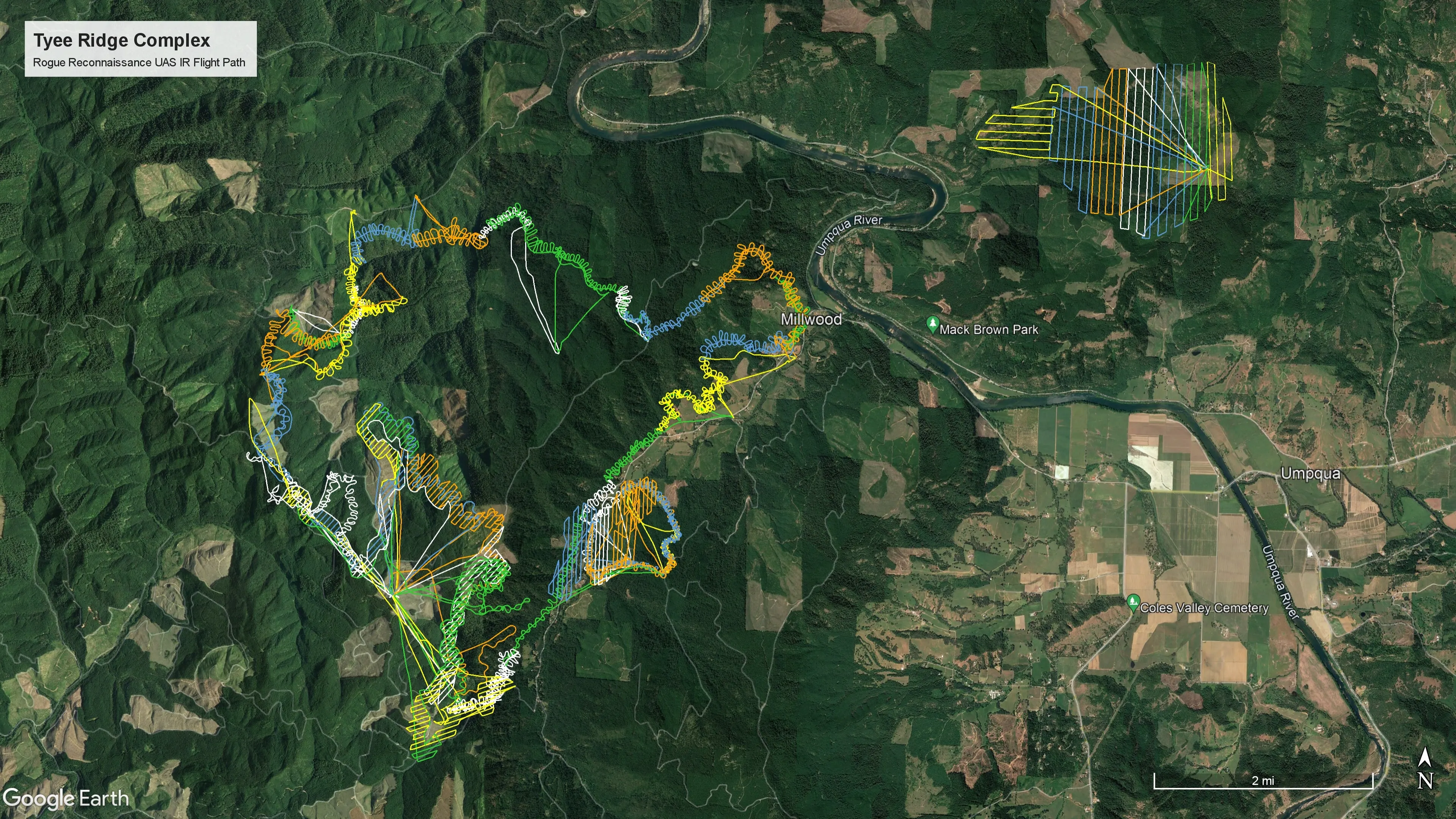
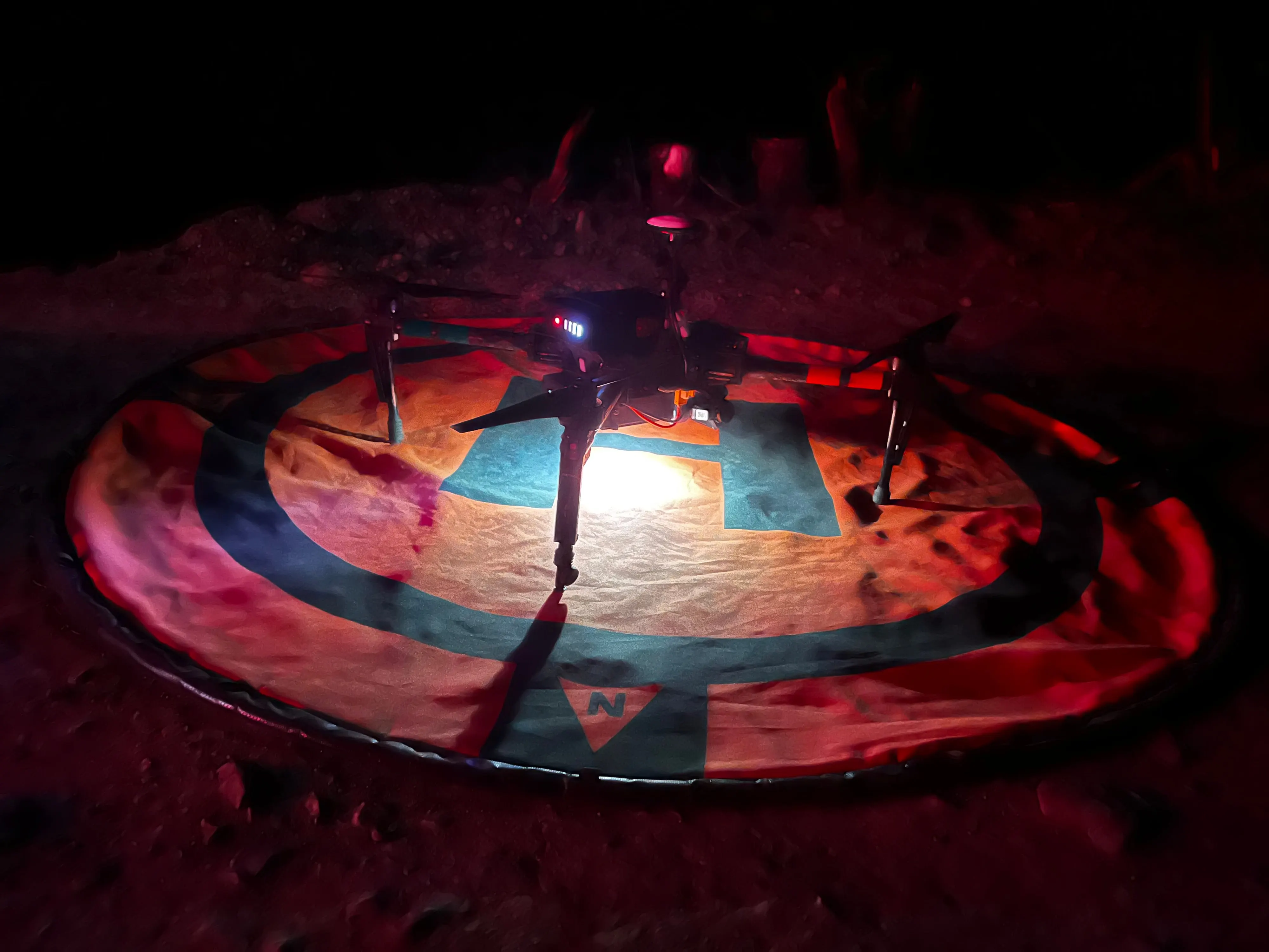
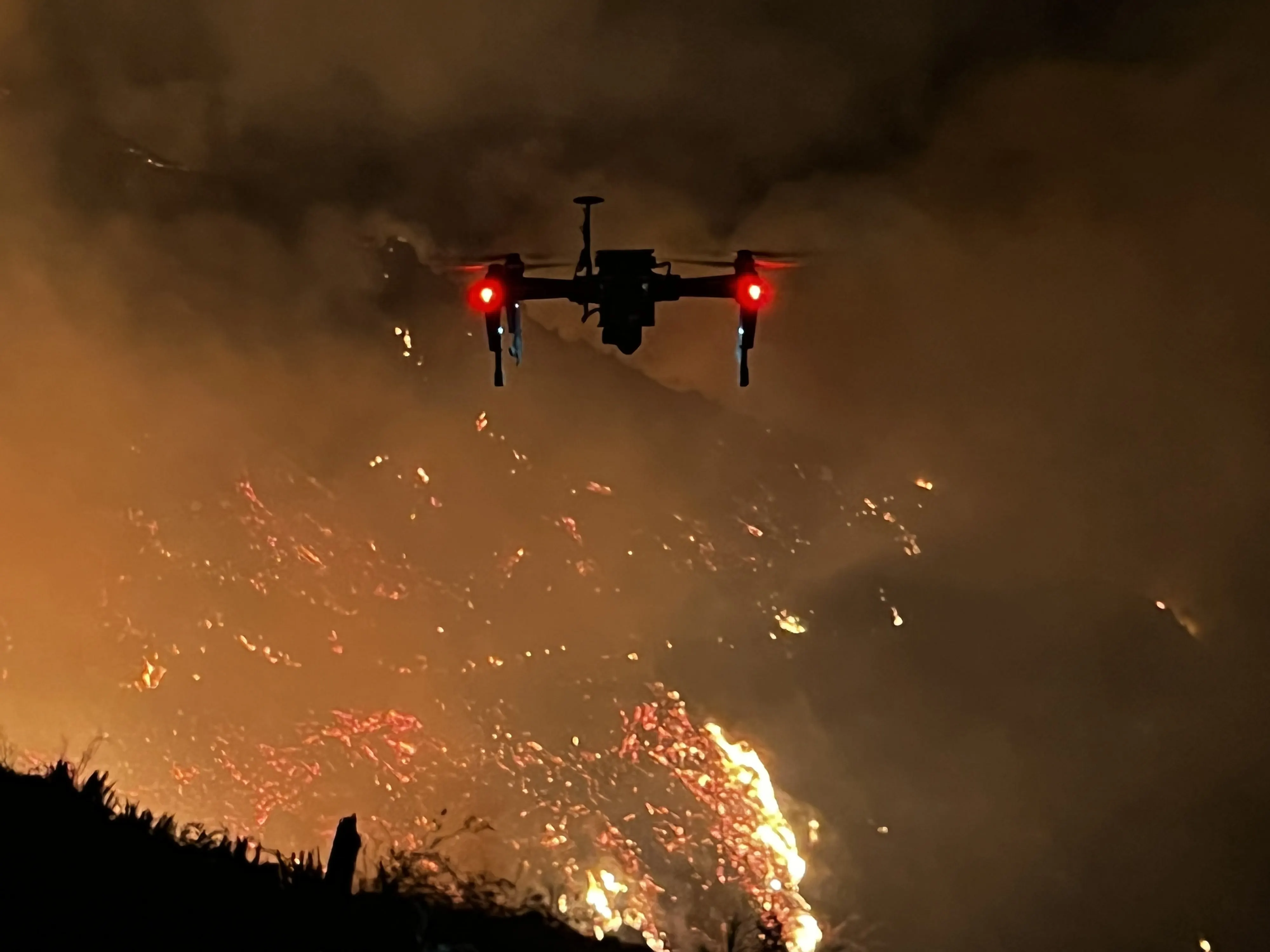
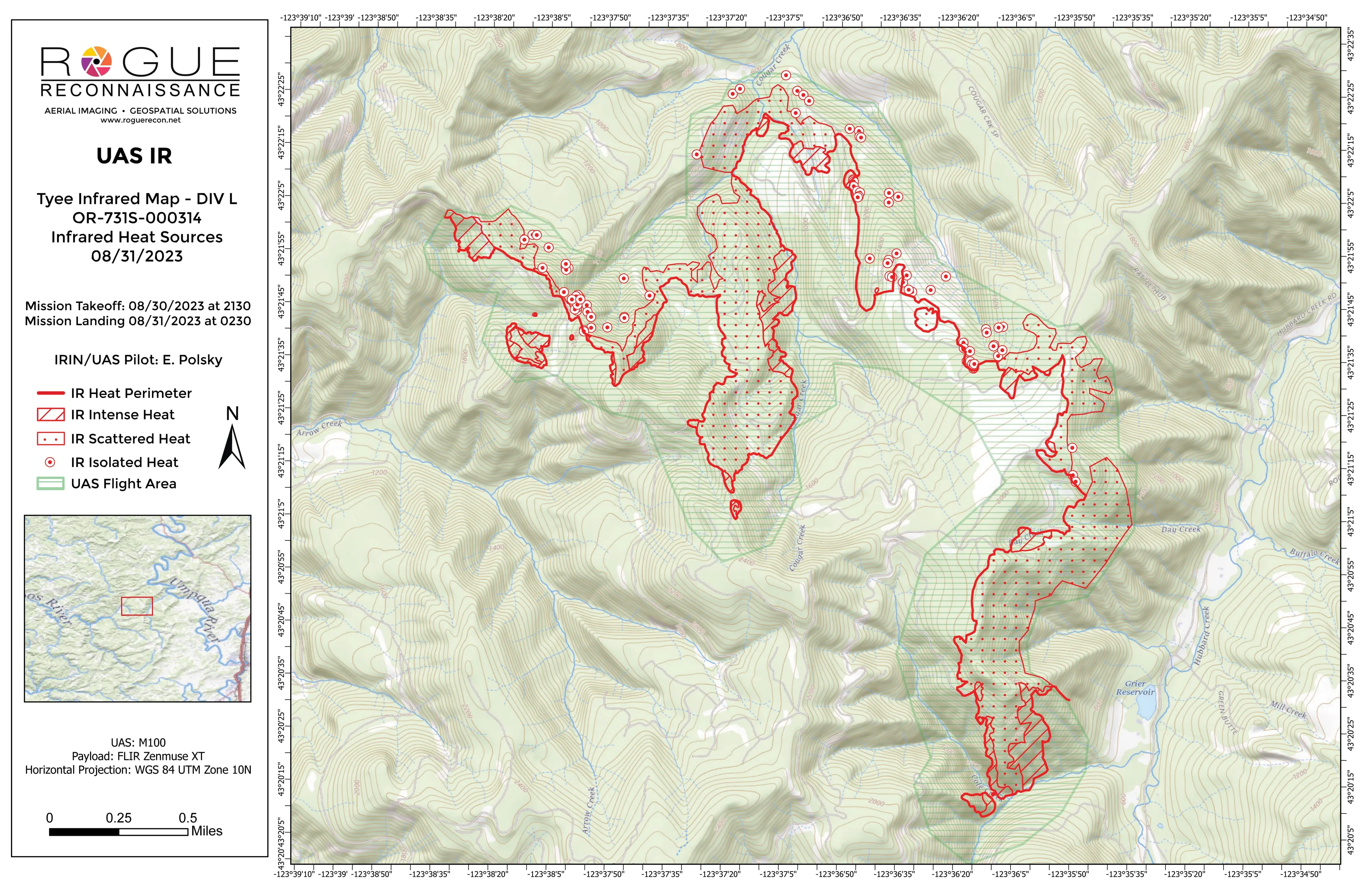
- Night infrared by division with the Matrice 100 and the Zenmuse XT, 18 nights in a row from late August into mid September 2023
- Intensity mapped mopup products as the fire moved into mopup
What we delivered
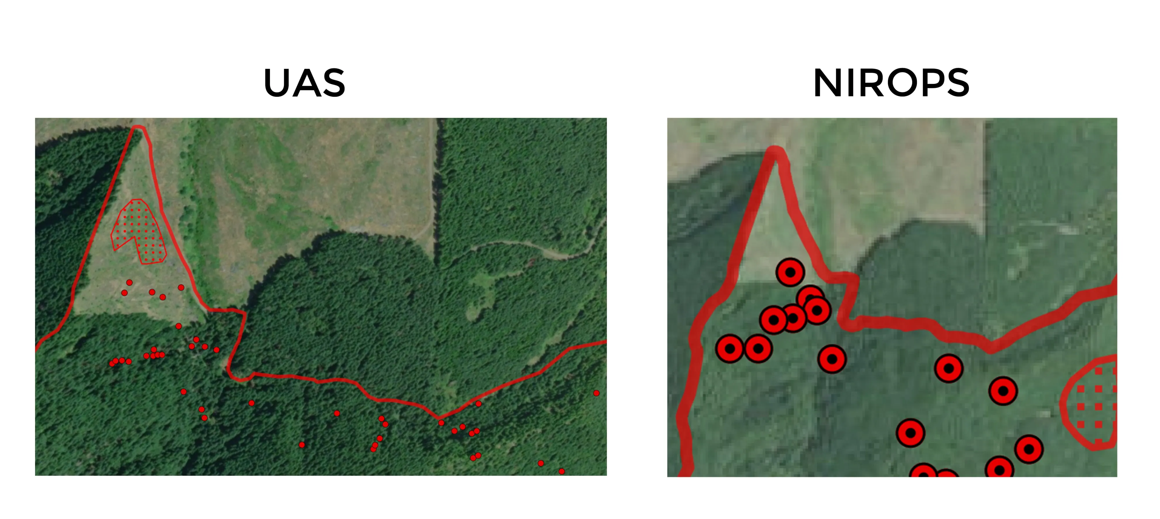
- Division infrared maps in topo and ortho, with heat perimeter, intense and scattered heat, and isolated heat sources
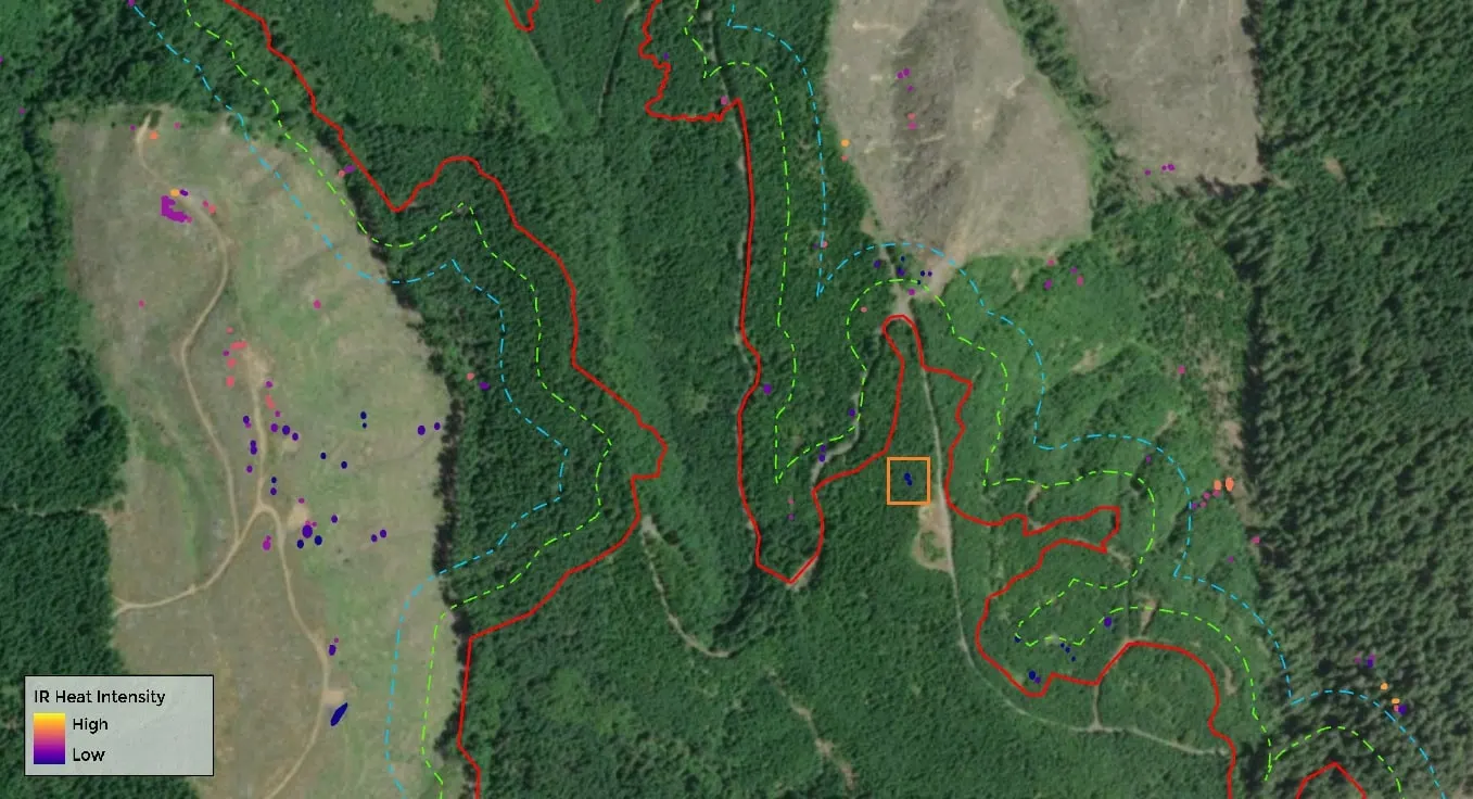
- Intensity mopup maps with the buffers the divisions were working to
- A spot fire detected and mapped outside the line, with a mopup product the next day
- Video and an ArcGIS StoryMap of the assignment
Tyee predates the automated pipeline. Every product on this assignment was digitized and laid out by hand overnight, which is exactly why we built the pipeline the following season.