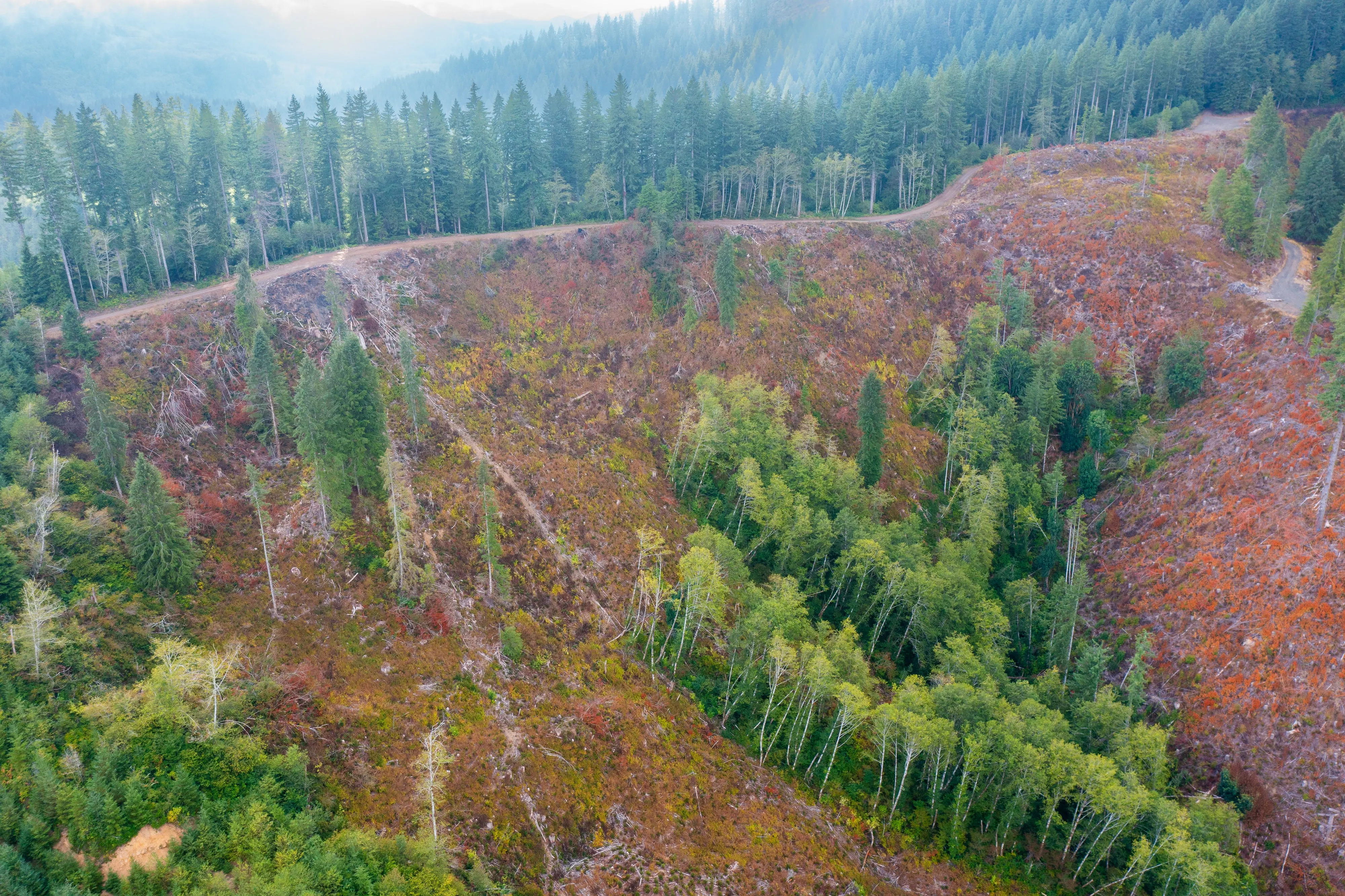
What we flew
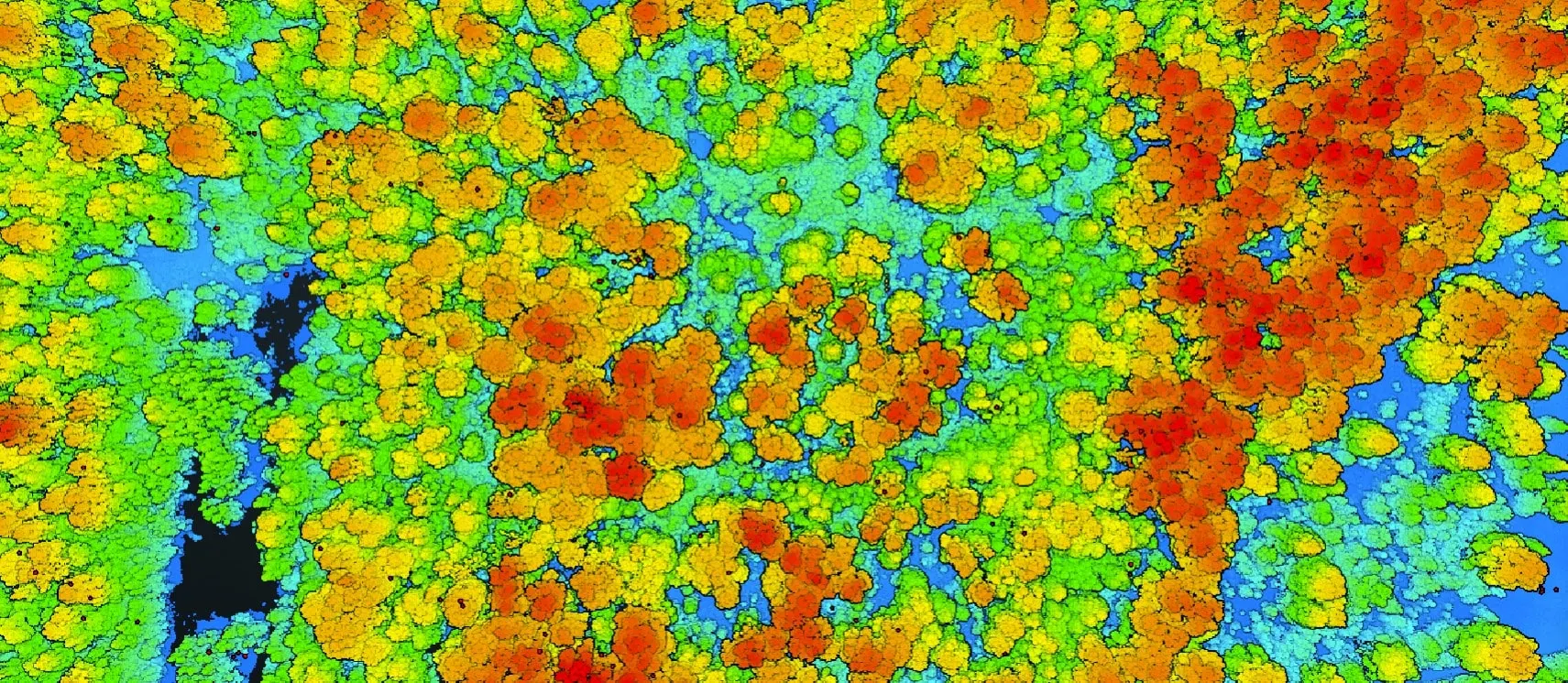
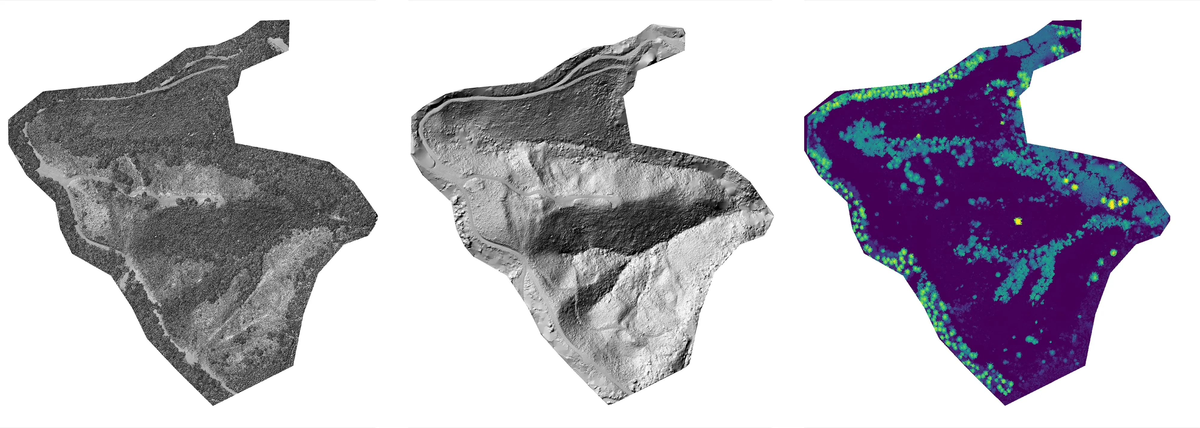
- Drone LiDAR for structure and terrain
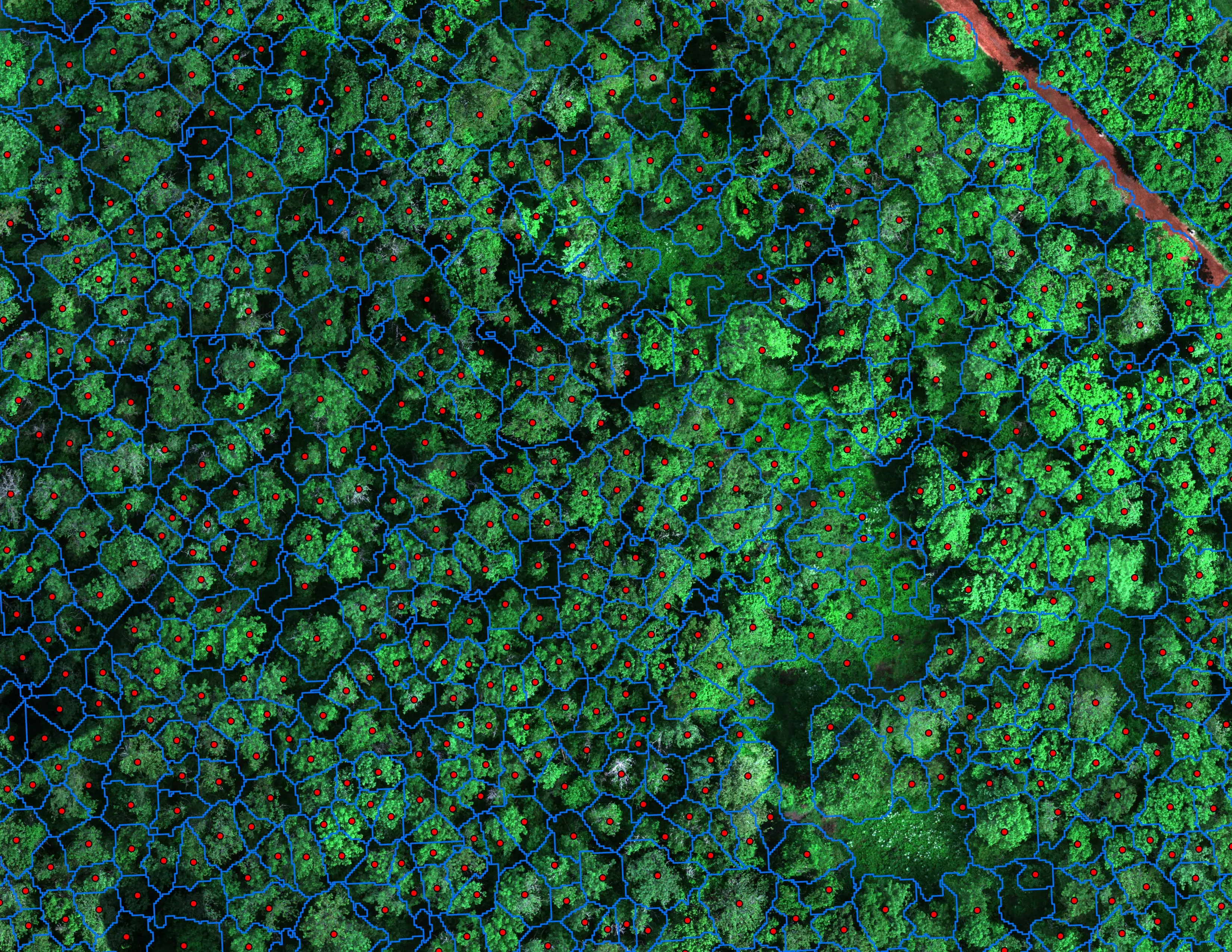
- MicaSense RedEdge MX multispectral for species
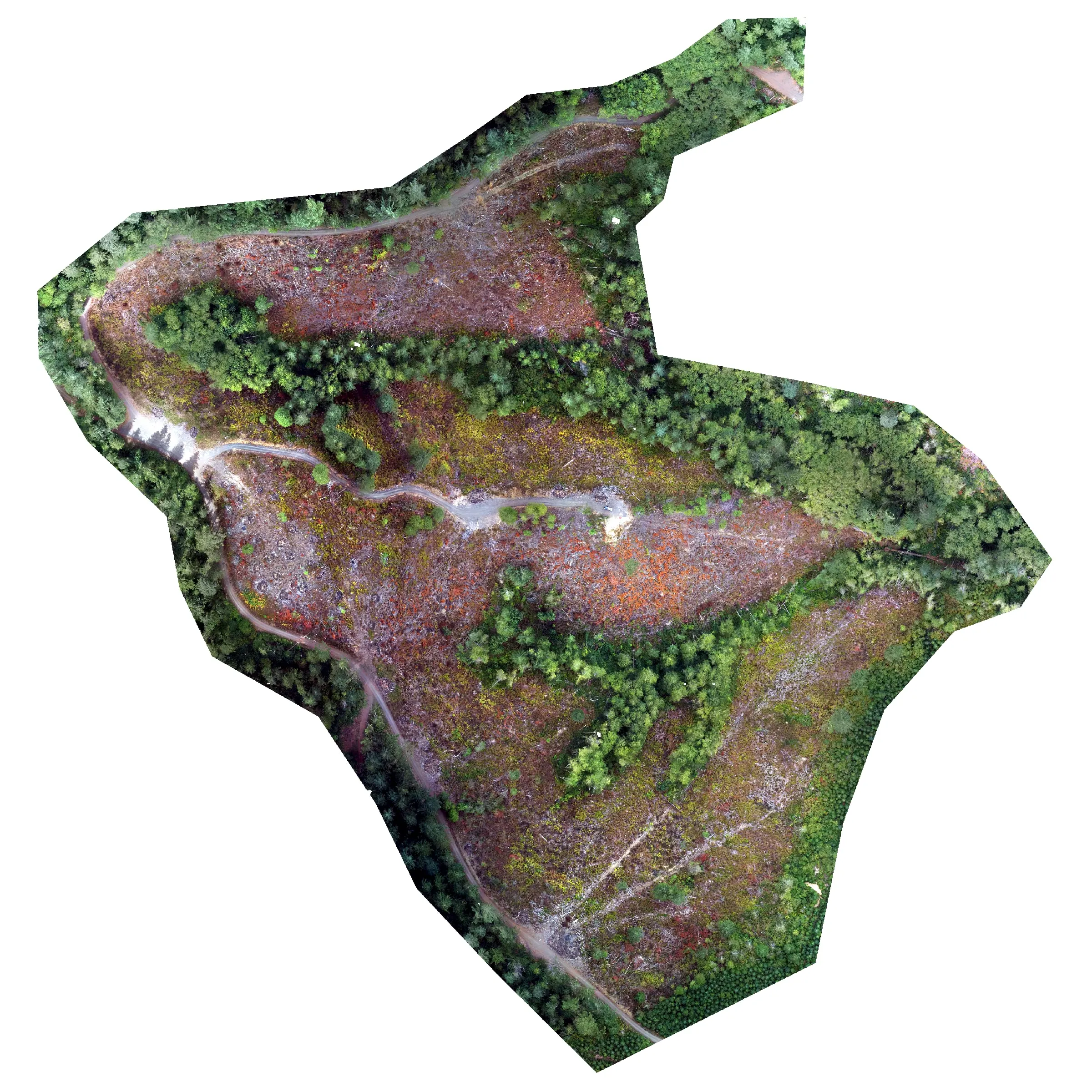
- RGB orthomosaic for review and detection
What we delivered
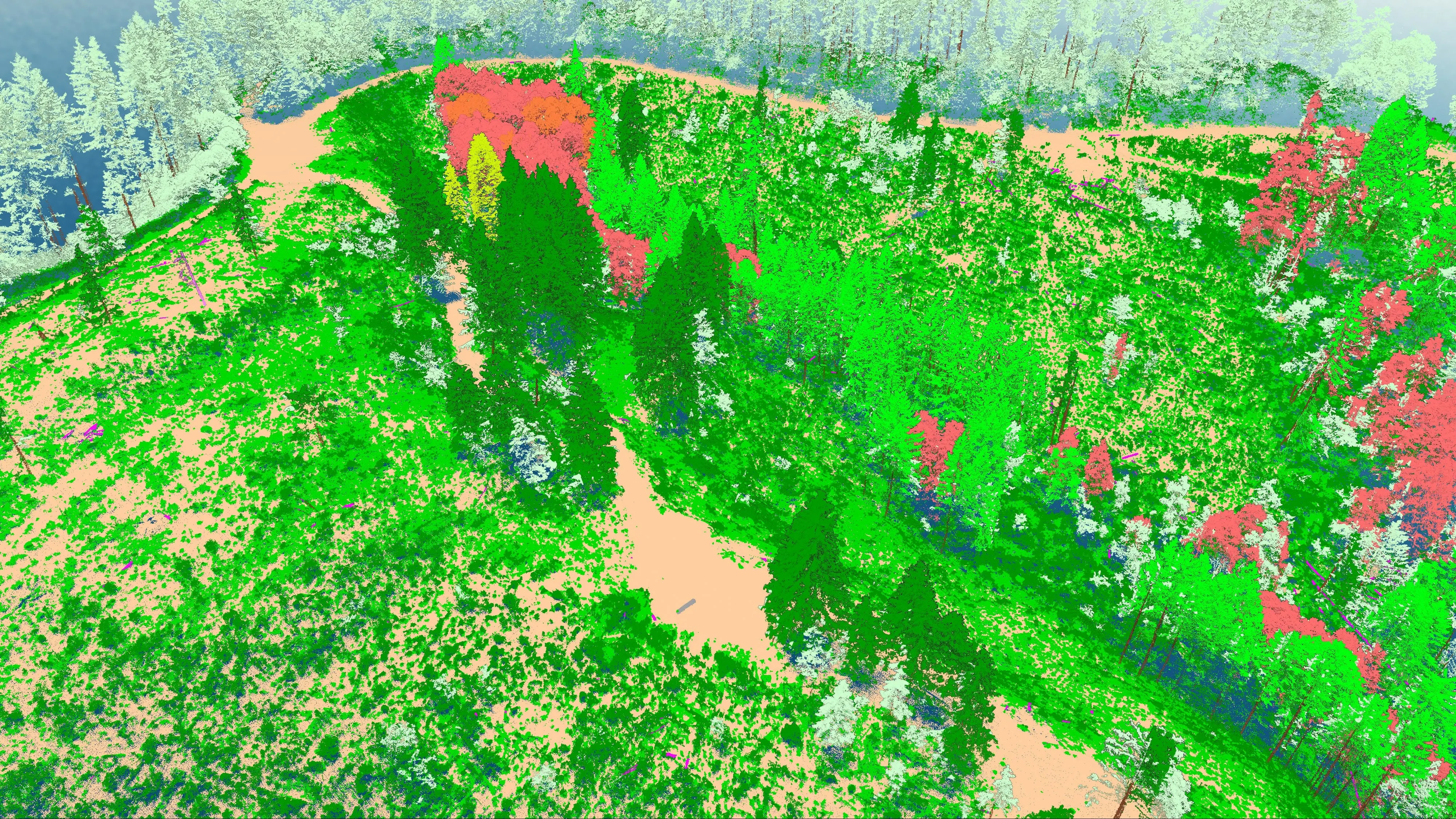
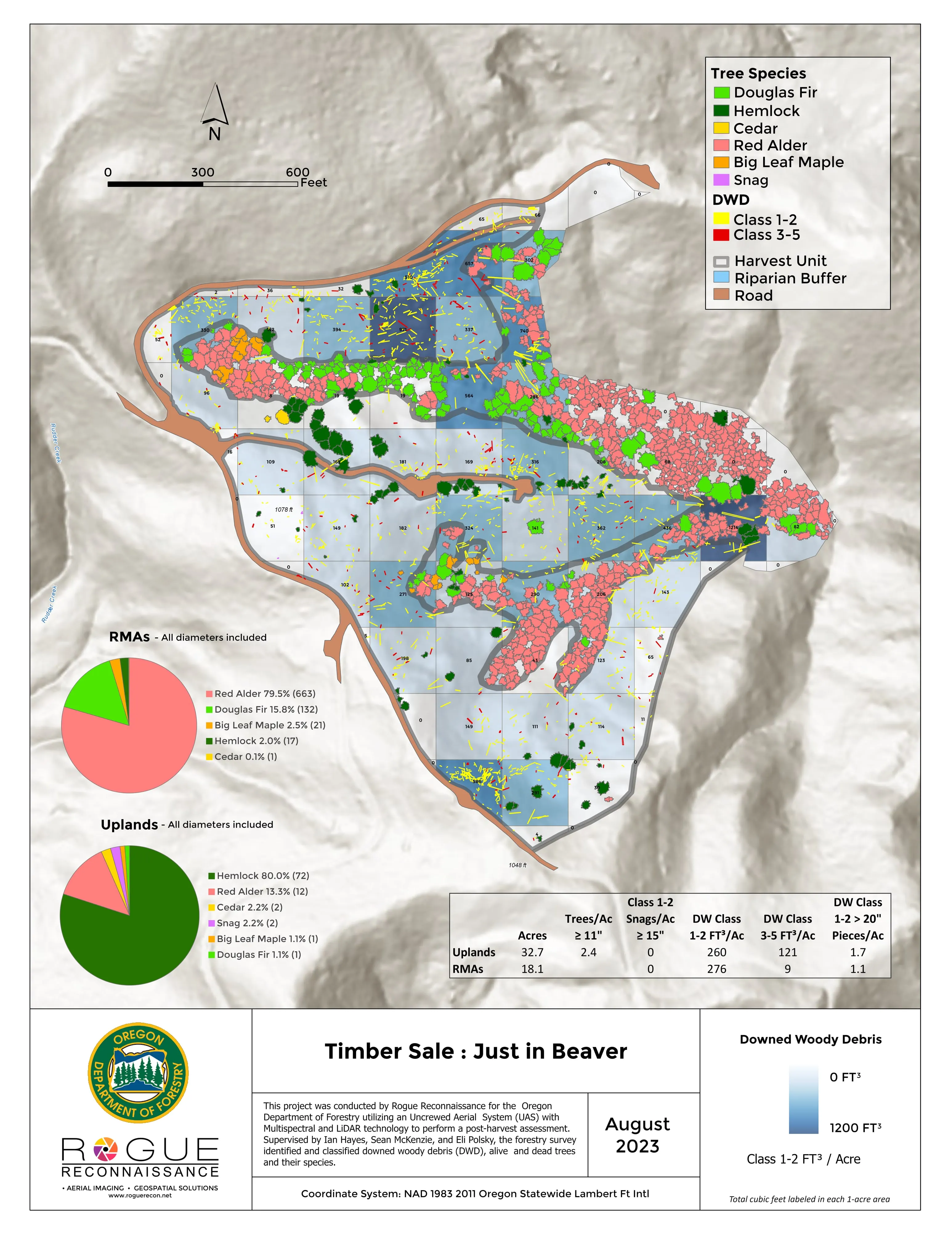
- Orthomosaic, canopy height model, and classified point cloud for the unit
- Standing live and dead trees to species
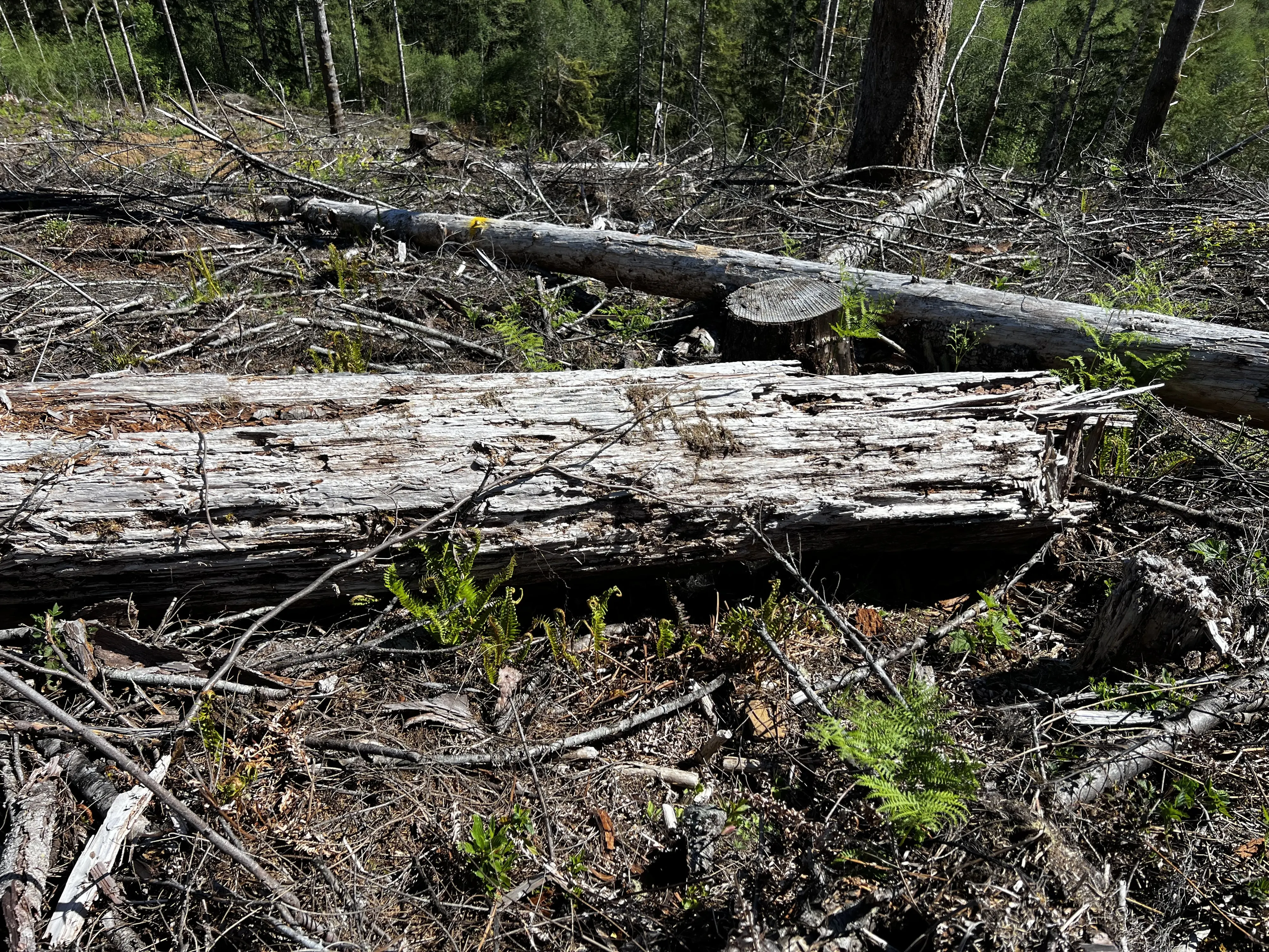
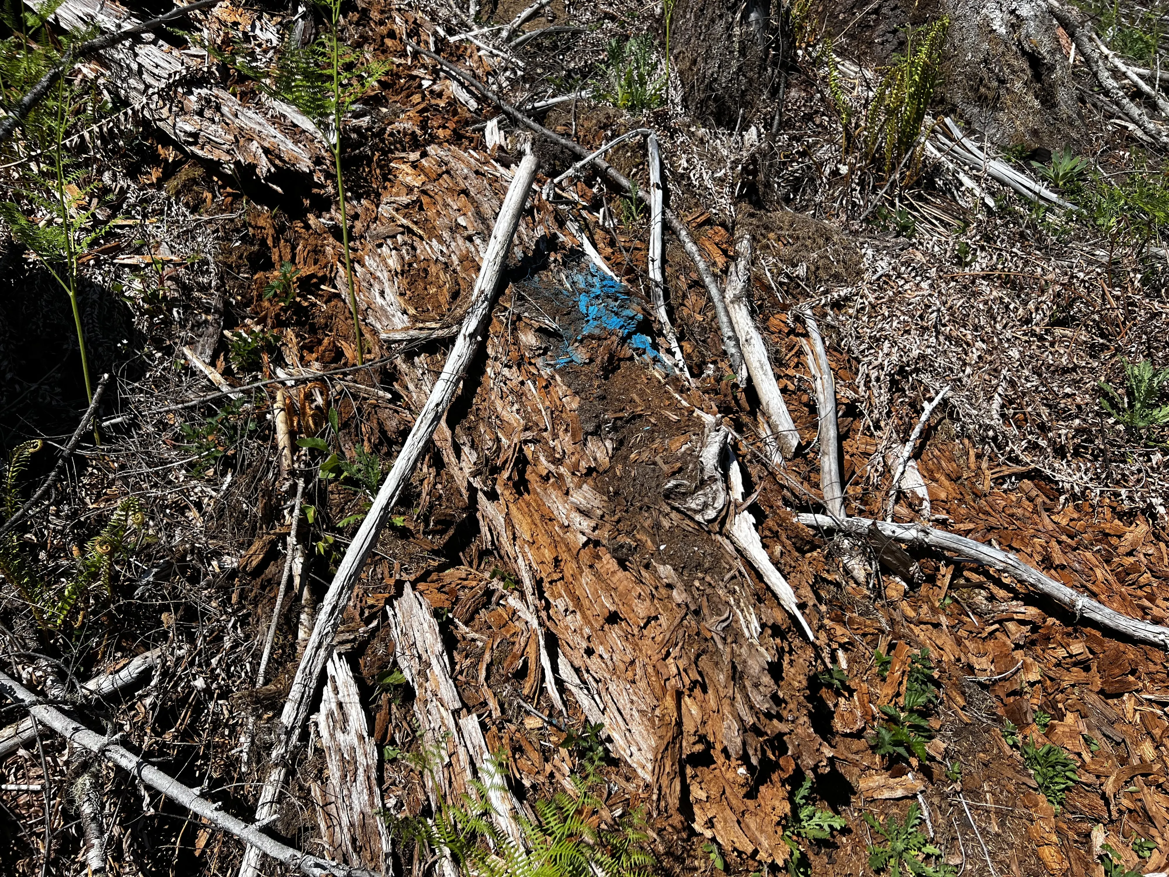
- Downed woody debris counted, measured, and classed
- Video walkthrough and an ArcGIS StoryMap of the method
This is the same unit as the downed woody debris case. The video shows what the products look like and the StoryMap walks the method.