The problem
Restoration partners needed to know what was growing along the river and where the water stayed cool in summer, the two things that decide fish habitat, at a scale a field crew cannot walk.
What we flew
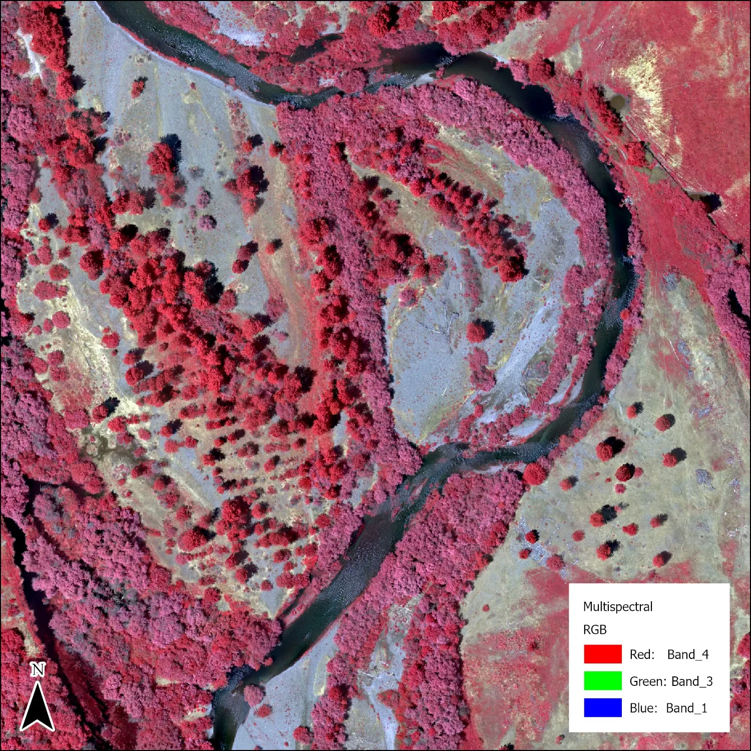
- MicaSense RedEdge MX multispectral at 399 feet, 8 cm ground resolution
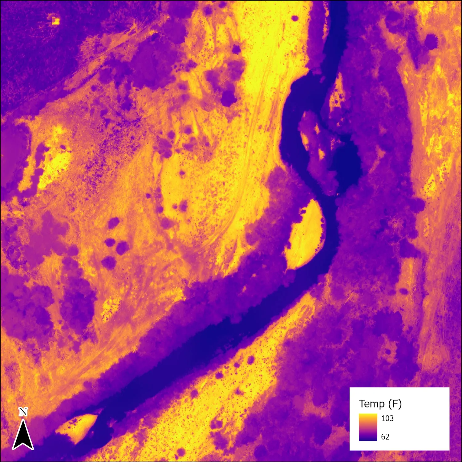
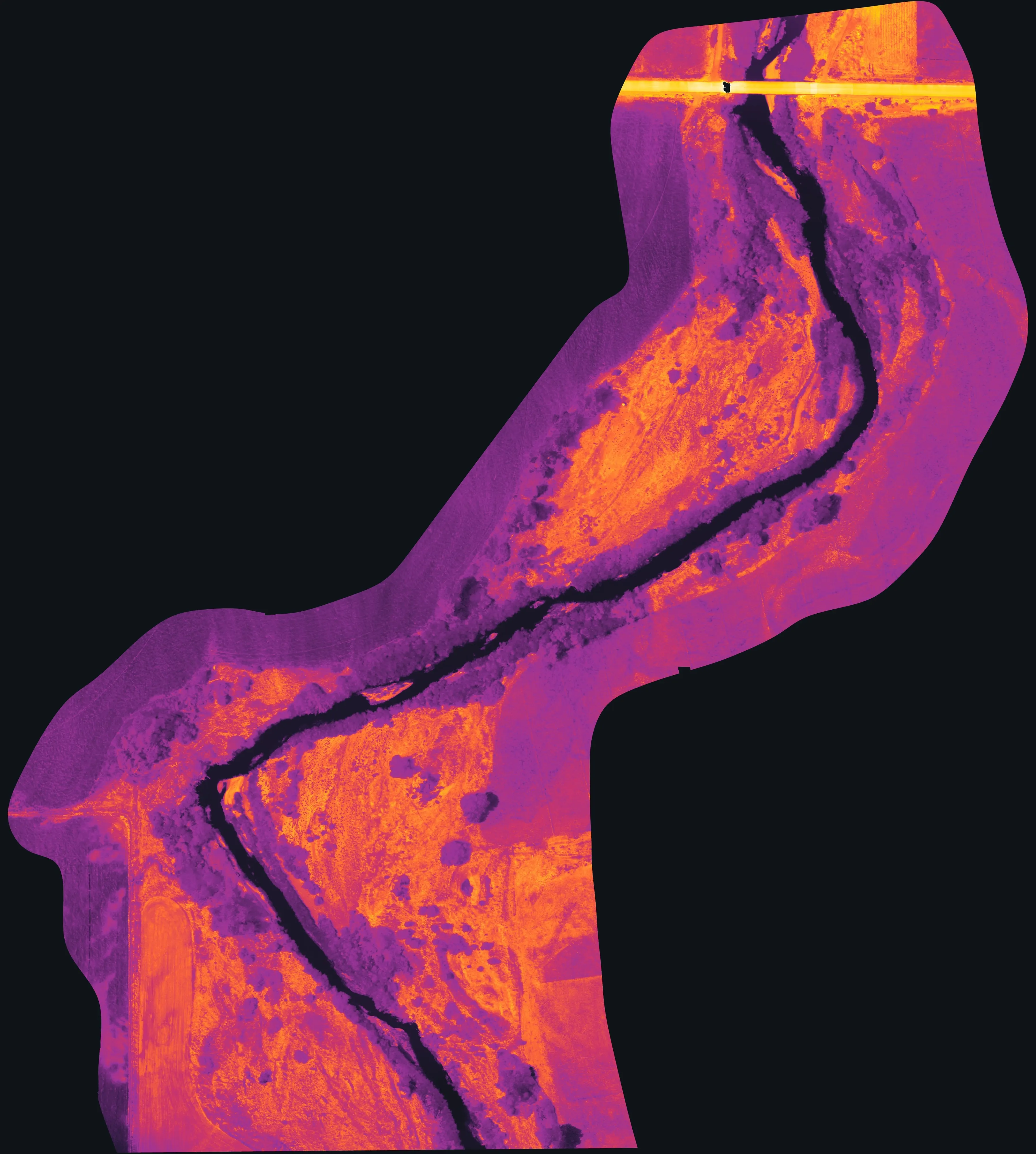
- DJI H20T thermal at 399 feet, 10.5 cm ground resolution, morning and afternoon on separate days
- DJI P1 RGB at 328 feet, 2.2 cm, for review and outreach
- Georeferenced to crewed aircraft LiDAR, about 1.5 feet horizontal
What we delivered
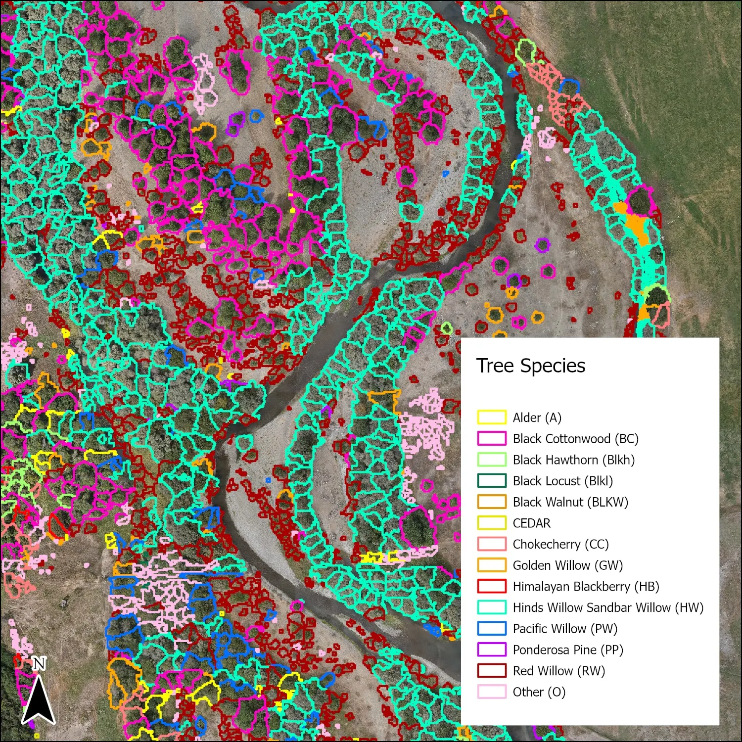
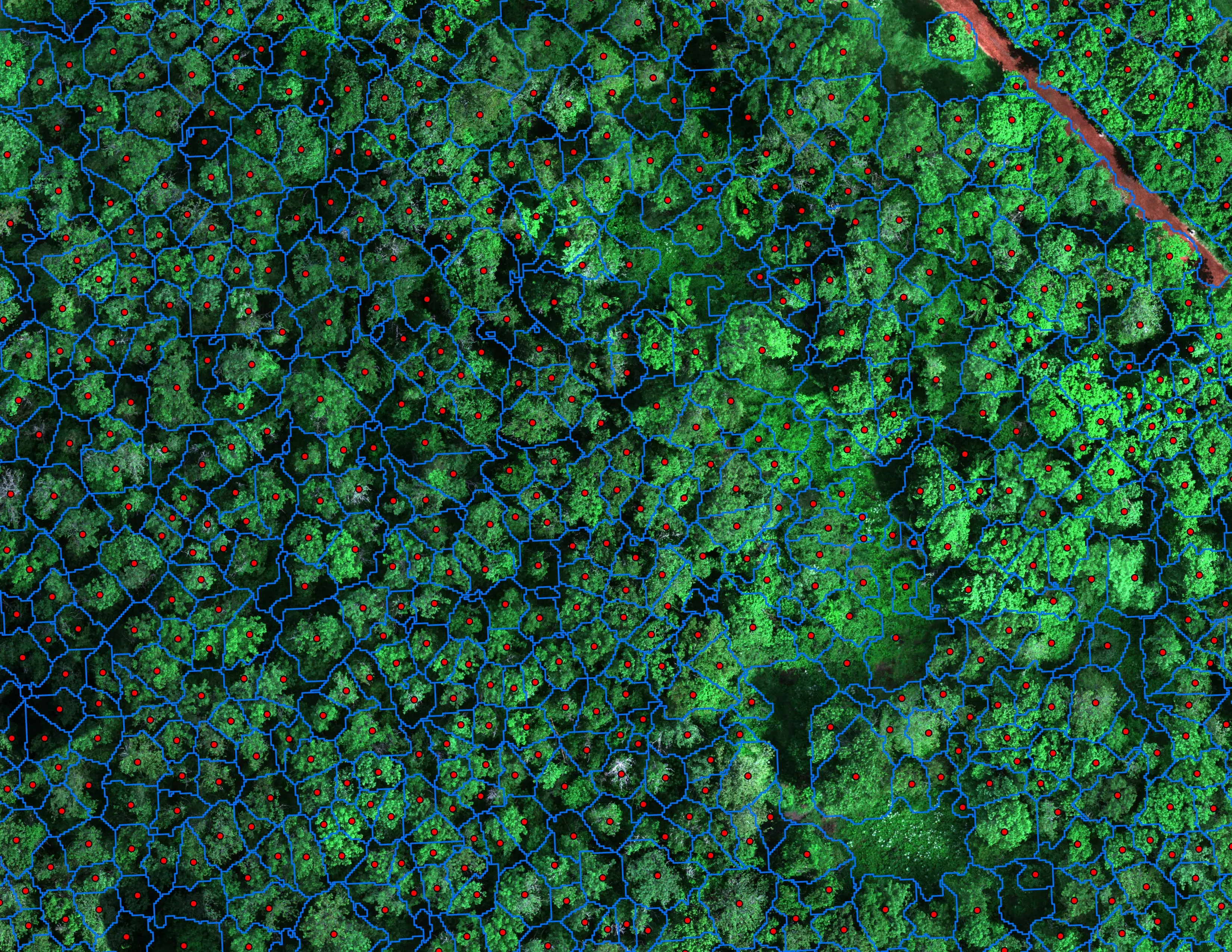
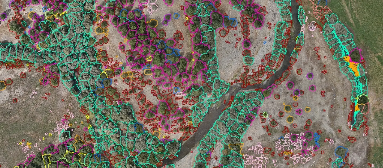
- Canopy polygons with tiered species, the most likely species first, for 14 classes
- Multispectral, NDWI, thermal, and RGB orthomosaics as GeoTIFF
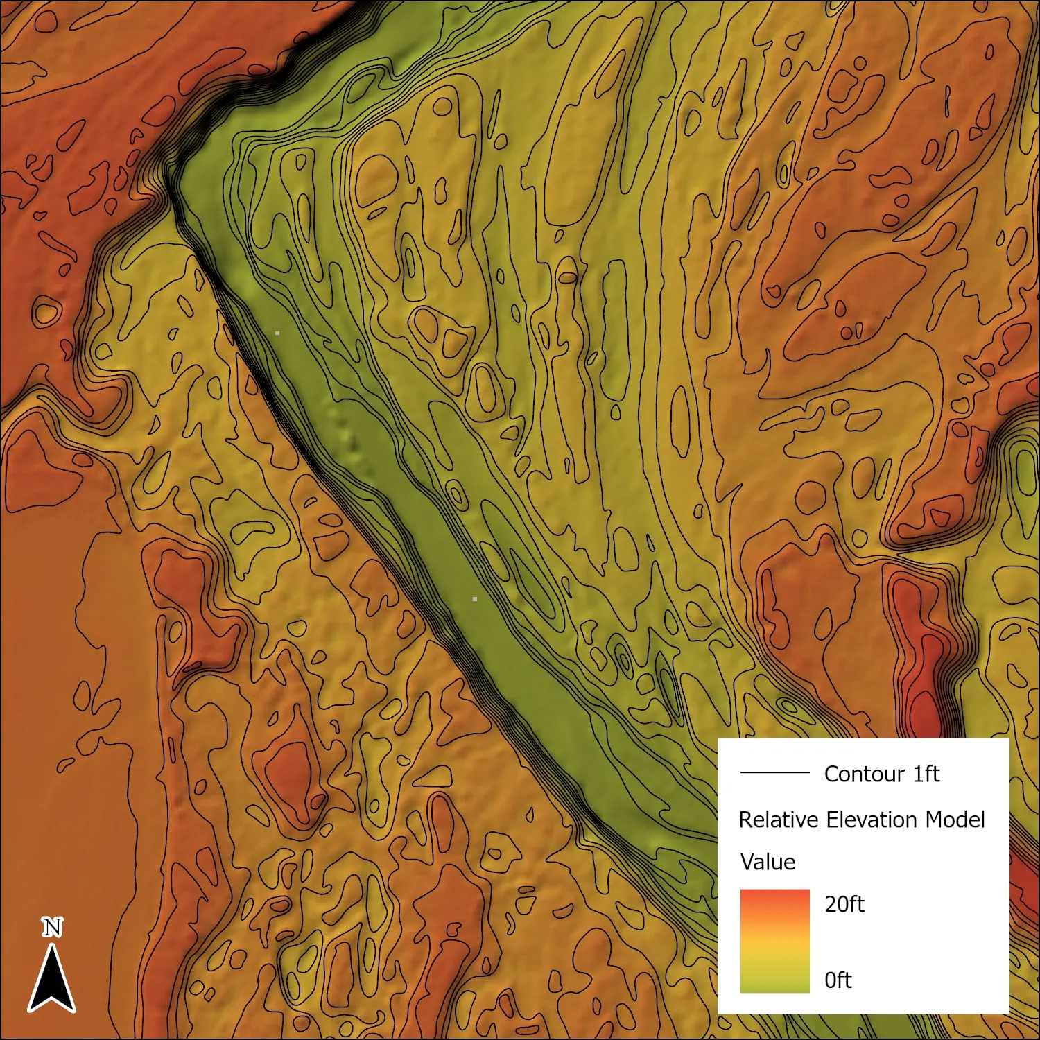
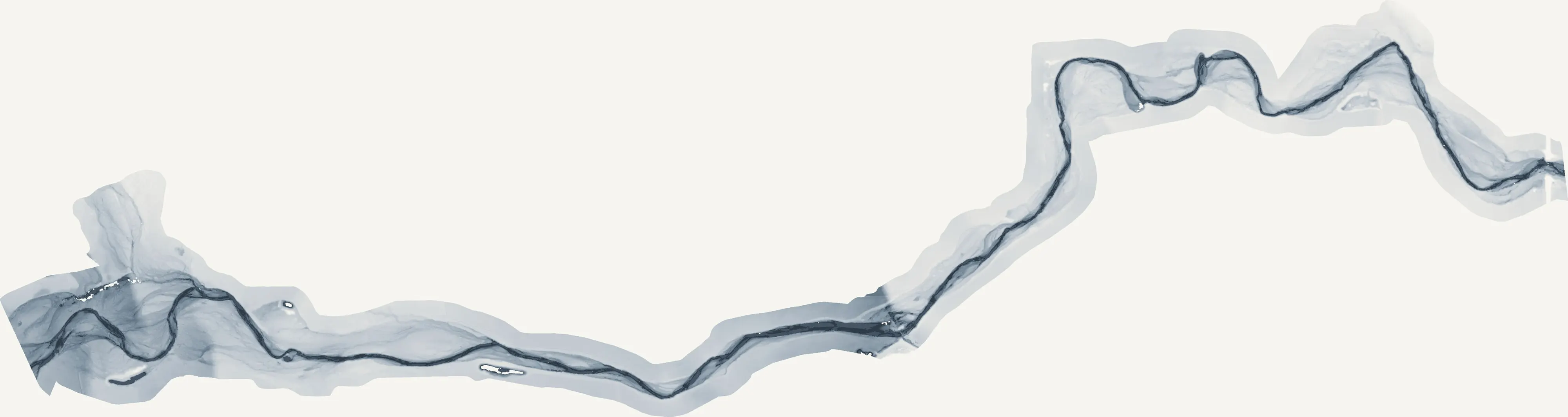
- Relative elevation model with one foot contours from the LiDAR
- 20 foot thermal temperature grid and potential cold seep points
- Classified water, river centerline, and the field sample lines used to train the model
- An ArcGIS Experience Builder viewer the botanist used to review and correct species calls
- Written report with method, accuracy, limits, and recommendations
Fourteen species is a hard problem for a classifier. Willows overlap spectrally, canopies overlap physically, and some species had only a handful of samples. The tiered output handles that: every polygon carries its first, second, and third most likely species, and the report says which classes were weak and why.
The thermal work is read as relative temperature. An ice water calibration was attempted, the flight altitude still introduced swings, so the products highlight cooler and warmer zones rather than claiming a surface temperature to the degree. That is enough to find a seep. It is not a surface temperature to the degree, and we do not sell it as one.