

Columbia, Missouri
A university town between two rivers, with trails, trees and farms all round.
Columbia is the University of Missouri, a trail system that runs the length of the city, parks with real forest in them and, beyond the city line, the Missouri River bottoms and the row crop ground of Boone County. A city canopy inventory, a research baseline and farm planning are the flights that fit it.
The ground
Columbia and Boone County
The city sits on the divide between the Missouri and the smaller streams that drain east, with Hinkson Creek through the middle of town and the MKT and Katy trails running down to the river at Rocheport and McBaine. Rock Bridge state park's caves and sinkholes lie just south; the university's research farms and forest spread out from the campus. West and south the county is corn, beans and cattle; the river bottoms carry cottonwood and silver maple and flood in big years.
Who buys mapping here
- City of Columbia: Parks and Recreation, Public Works, Columbia Water and Light and its line corridors, the GIS group
- Boone County: Resource Management, Public Works, Emergency Management
- The University of Missouri: campus facilities, the agricultural experiment stations and the research forests, the School of Natural Resources
- Boone Electric Cooperative
- The Missouri Department of Conservation's Central region and Rock Bridge Memorial State Park
- Boone County Soil and Water Conservation District and the Hinkson Creek watershed groups
- Stephens College and Columbia College grounds
- Row crop and cattle operations across the county and the bottomland farms along the river
Getting there
From Medford
Columbia is on Interstate 70 halfway between St. Louis and Kansas City, two hours from either airport. It is the natural midpoint stop of the Missouri trip.
The public lidar
What exists, and what it misses
Boone County is covered by the statewide lidar, and university research plots have been flown at higher density than the state data. The city canopy, the creek corridors and the private farms want their own current flights: species and condition tree by tree, a restoration reach measured, a field after the spring rains.
What we would fly
The lanes that fit Columbia


Nearest work
Boone County is on the list, not yet on the log. Standing in for it: the Eugene ash inventory, the Talent nursery plan, and the Scott River corridor mapped by species.
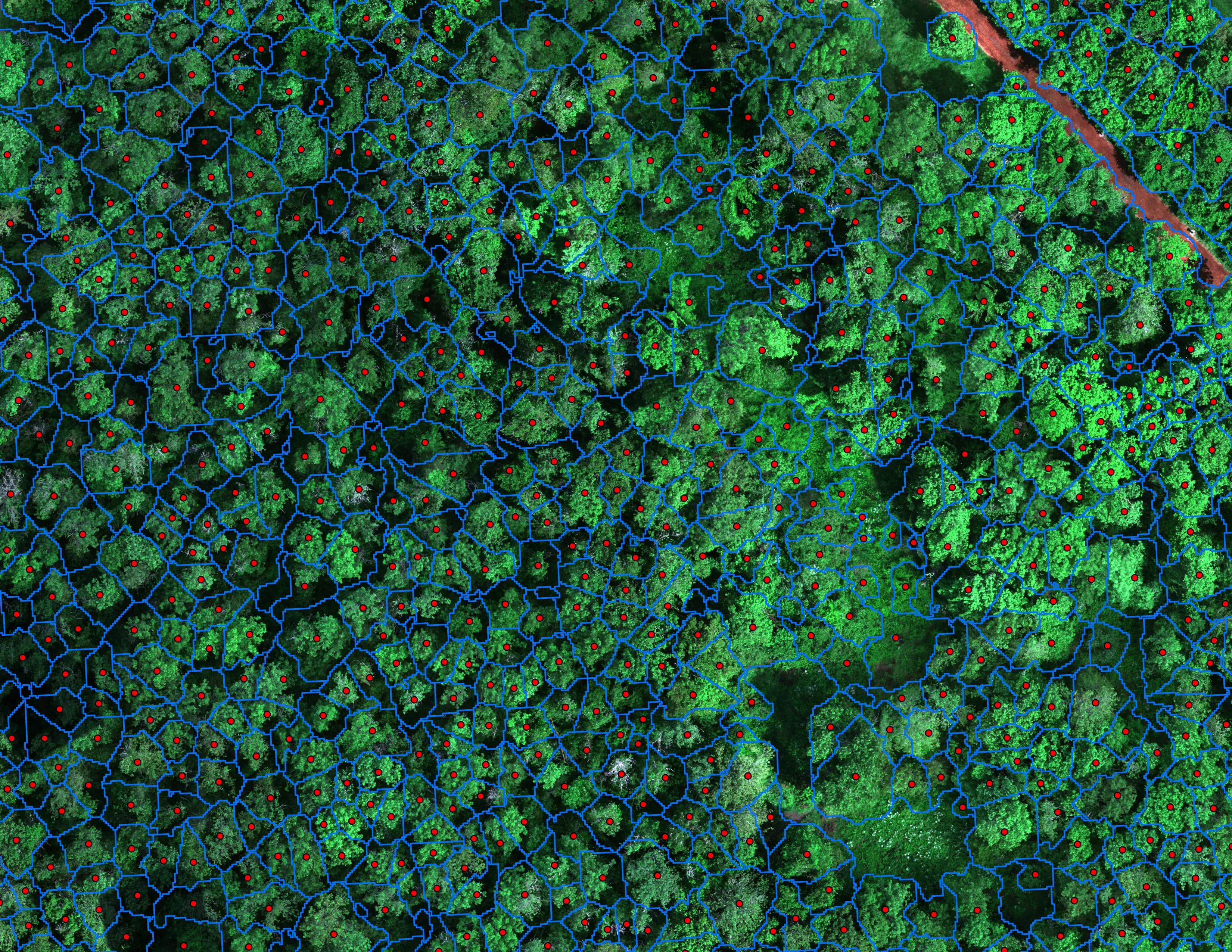
Finding every Oregon ash before the borer does
City of Eugene, Parks and Open Space
12,632 crowns classified across 390 acres of riparian canopy. 5,261 of them Oregon ash.
Read the case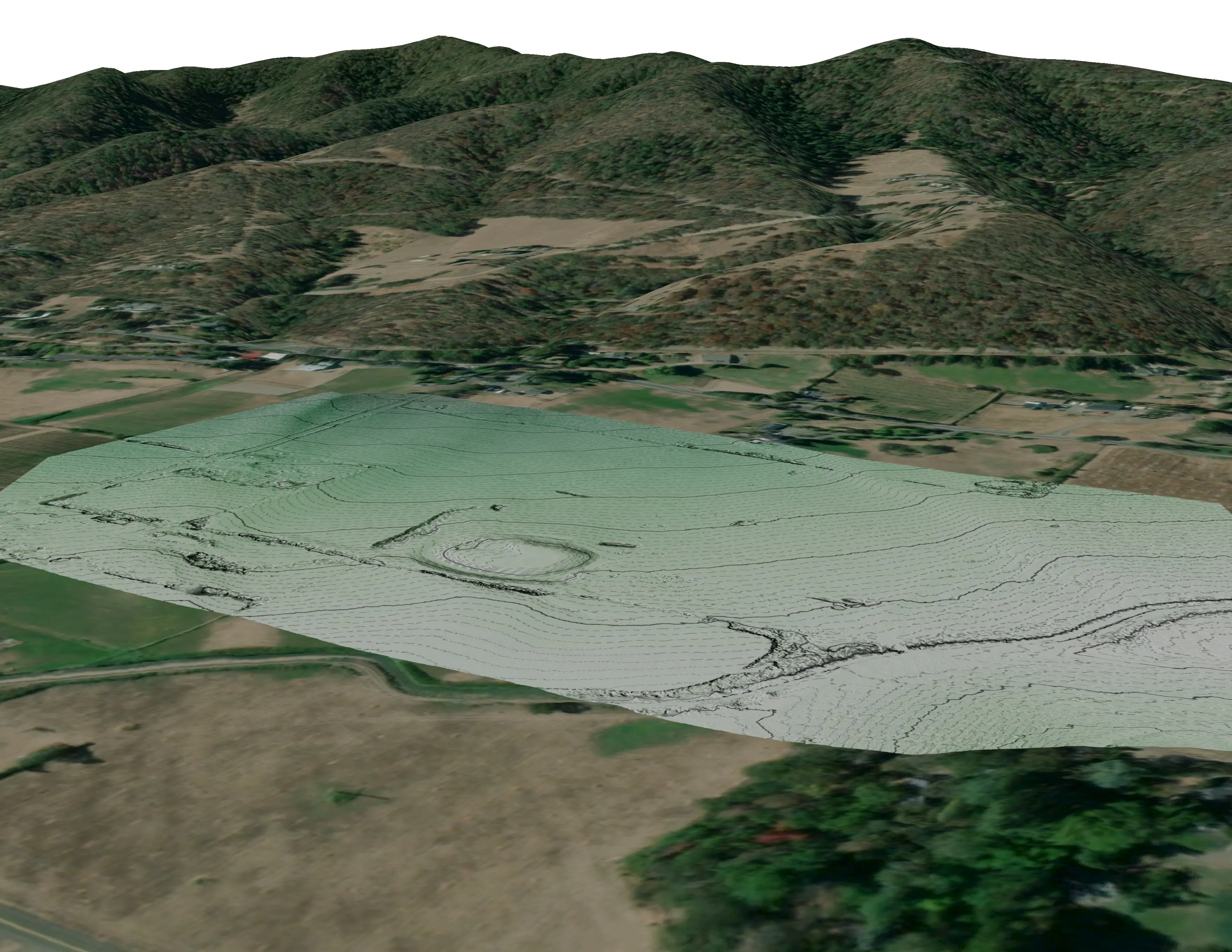
A farm plan on real ground
Plant Oregon with Oregon Urban Rural and Community Forestry, a tree nursery in development
Terrain, ponds, tree mounds, and a site plan drawn on a current ortho of the whole farm.
Read the case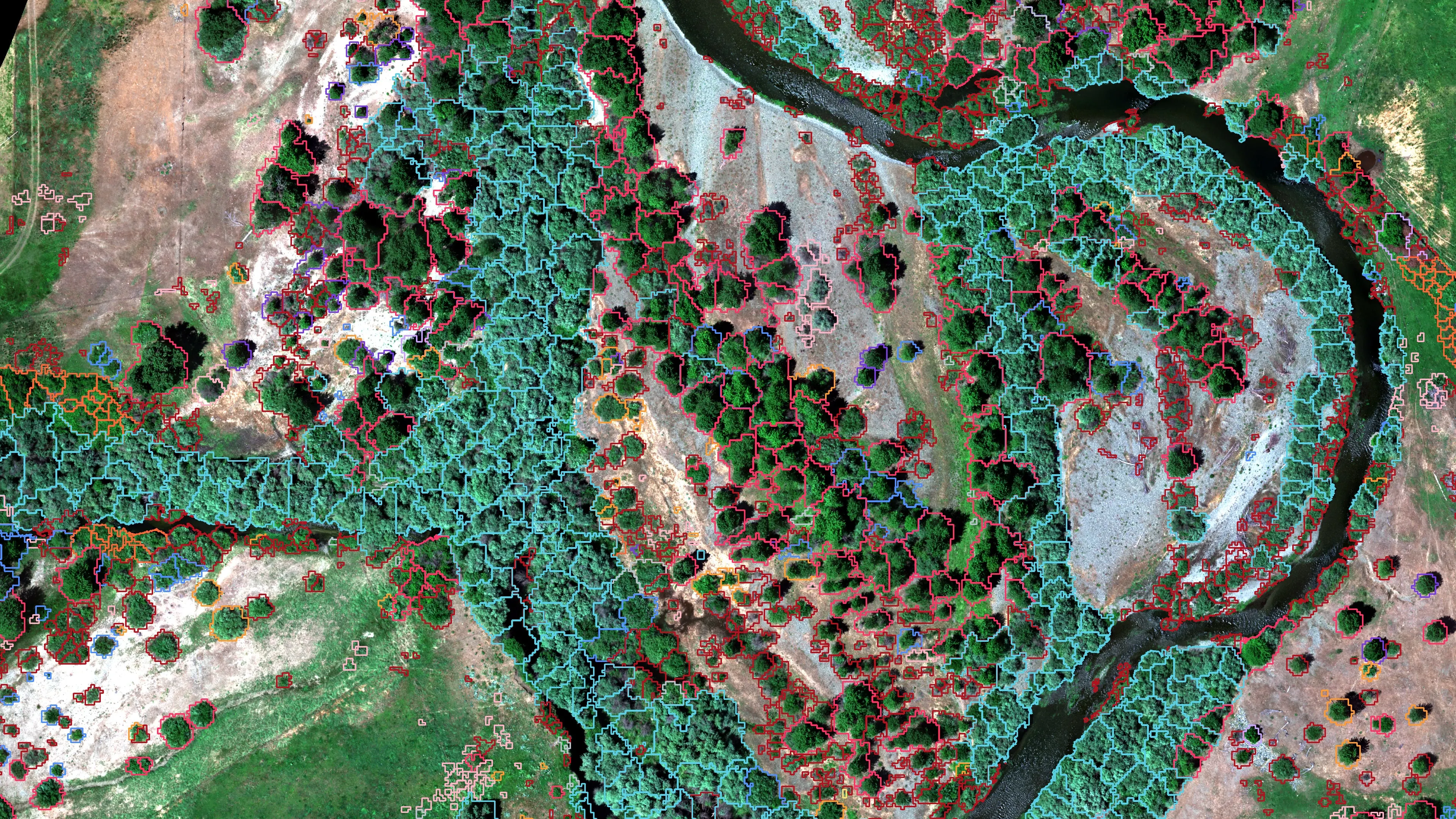
Riparian species and cold seeps on the Scott River
Cascade Stream Solutions, with a botanist leading field identification. We flew it as their subcontractor and reported to them.
Fourteen riparian species classified across 423 acres of river corridor, with thermal mapping that pointed to groundwater fed cold seeps.
Read the caseThe record
Our published forestry, river, terrain and farm work
Forestry and trees
- Downed woody debris, measured from the air
- Finding every Oregon ash before the borer does
- At risk, declining, dieback, dead
- Post harvest monitoring for ODF
- A planting corridor through Phoenix, tree by tree
Rivers and habitat
- Riparian species and cold seeps on the Scott River
- Ten abandoned mines, bare earth under the chaparral
Terrain and site design
Farm planning
Columbia, the midpoint of the trip.
A city canopy count, a research baseline, a creek reach or a farm. Tell us which and we will stop in Columbia on the way across.
Email info@roguerecon.net or call 808 298 6290.