

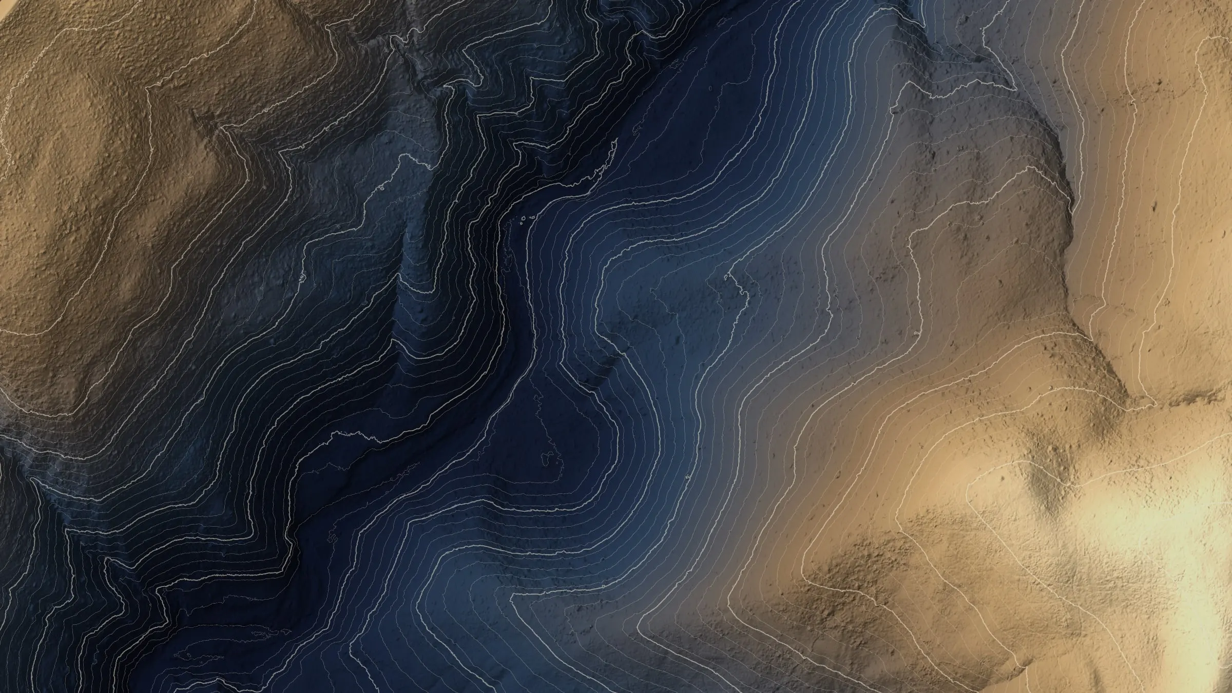
Kansas City, Missouri
The boulevards, the Blue River, and the lines running out to the farms.
Kansas City built one of the great park and boulevard systems and keeps a canopy program to go with it. Around the metro are the electric cooperatives, the hardwood bottoms along the Missouri and the Blue, and the row crop ground we wrote the Missouri page for. Canopy inventory, corridor LiDAR and farm terrain are the flights.
The ground
Kansas City and Jackson County and Clay County and Platte County
The city spreads along the south bank of the Missouri where the Kansas River joins it, from the river bluffs and the West Bottoms up through the boulevards to the oak and hickory of Swope Park and the Blue River valley. North of the river Clay and Platte counties run from the suburbs out to farms and the airport; east and south the metro gives way to pasture, corn and beans and the wooded creek bottoms between them. Summer storms, ice and the emerald ash borer, here for over a decade, are what the trees contend with.
Who buys mapping here
- City of Kansas City: Parks and Recreation and its forestry division, Water Services, Public Works, the GIS group
- Jackson County Parks and Recreation, Clay County and Platte County
- The electric cooperatives around the metro and Evergy's corridors
- The Mid America Regional Council, which holds the regional GIS
- Heartland Tree Alliance and the canopy programs; Bridging The Gap
- The Missouri Department of Conservation's Kansas City region and the state parks along the river
- Independence, Lee's Summit, Blue Springs, Liberty and the other metro cities
- Row crop and cattle operations in the counties east and north, and the engineers building on the bluffs
Getting there
From Medford
Kansas City is a flight from the West Coast with the aircraft checked as freight and a rental truck at the other end. We plan Missouri as a two week trip and route it through the cities that have work.
The public lidar
What exists, and what it misses
Missouri has statewide lidar through the state's spatial data service and the federal 3DEP program, and the metro has been flown more than once for floodplain work. It is terrain data at terrain dates. A tree by tree canopy inventory for the parks department, a corridor's clearance for a cooperative or a field's drainage after a wet spring each need a current flight at their own resolution.
What we would fly
The lanes that fit Kansas City


Nearest work
We have not flown in Missouri. Three Oregon jobs show what the Kansas City work would look like: a city counted crown by crown, a corridor measured tree by tree, and a farm planned on drone LiDAR terrain.
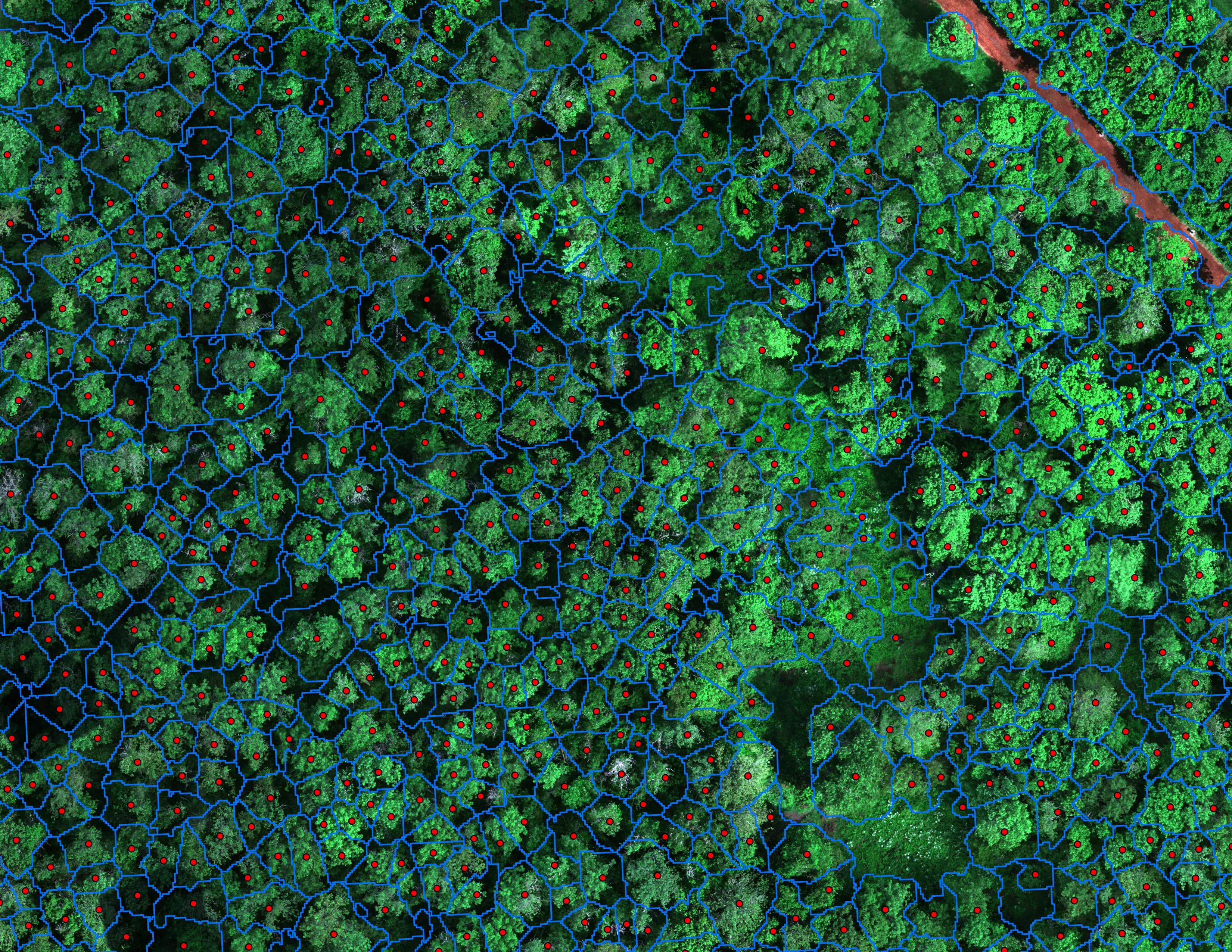
Finding every Oregon ash before the borer does
City of Eugene, Parks and Open Space
12,632 crowns classified across 390 acres of riparian canopy. 5,261 of them Oregon ash.
Read the case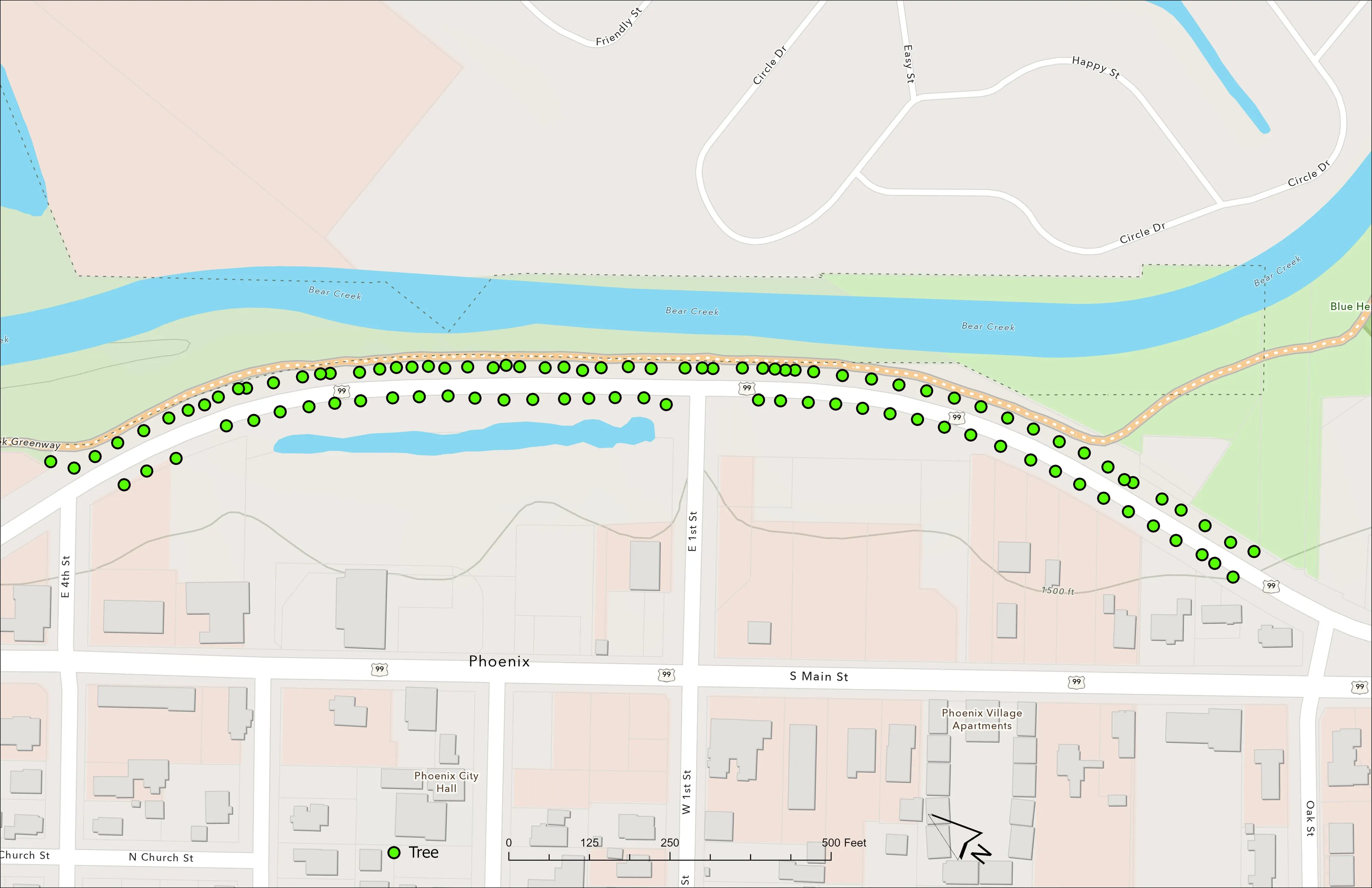
A planting corridor through Phoenix, tree by tree
City of Phoenix
The year one record for 98 trees the city planted where the Almeda fire burned through Phoenix, from drone LiDAR and RGB flown 65 days after planting.
Read the case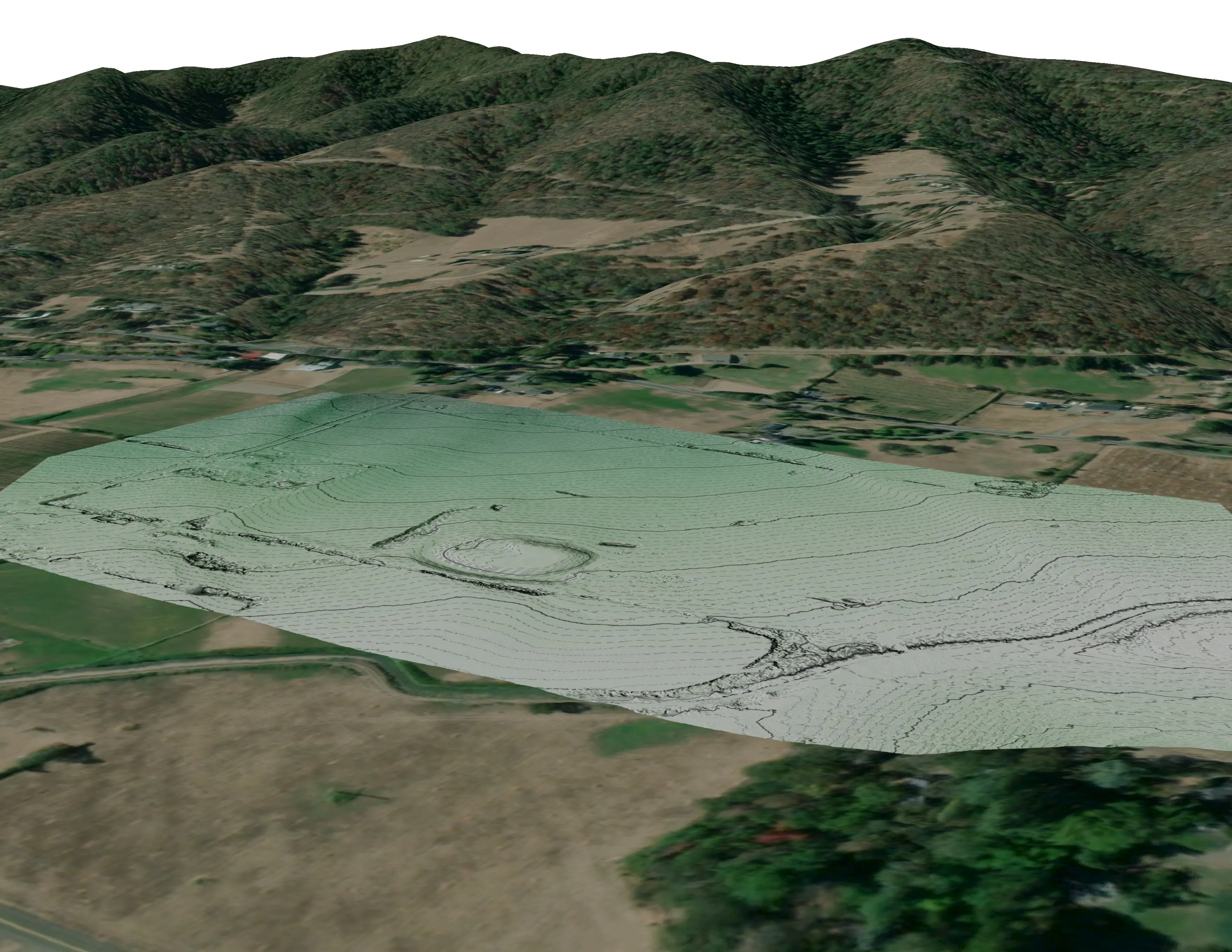
A farm plan on real ground
Plant Oregon with Oregon Urban Rural and Community Forestry, a tree nursery in development
Terrain, ponds, tree mounds, and a site plan drawn on a current ortho of the whole farm.
Read the caseThe record
Our published forestry, river, terrain and farm work
Forestry and trees
- Downed woody debris, measured from the air
- Finding every Oregon ash before the borer does
- At risk, declining, dieback, dead
- Post harvest monitoring for ODF
- A planting corridor through Phoenix, tree by tree
Rivers and habitat
- Riparian species and cold seeps on the Scott River
- Ten abandoned mines, bare earth under the chaparral
Terrain and site design
Farm planning
Kansas City, on the Missouri trip.
A park district, a boulevard canopy count, a cooperative corridor or a farm. Tell us what is on the list and we will route the trip through it.
Email info@roguerecon.net or call 808 298 6290.