

St. Joseph, Missouri
Loess hills, river bottoms, and a parkway through an old river town.
St. Joseph is an old river town on the loess bluffs an hour north of Kansas City, with a parkway system through its middle, farms on the bottoms and the hills, and the cooperatives and the river itself to manage. Farm planning and corridor terrain are what fits here, with canopy for the parkway.
The ground
St. Joseph and Buchanan County and Andrew County
The city sits where the loess hills meet the Missouri, with the river bottoms below town and the deep, erodible loess soils of the uplands behind it, some of the richest and most fragile farmland in the state. Corn and beans fill the bottoms and the hills alike; the Platte River of Missouri comes down from the north east. The parkway, Krug Park and the bluff parks carry the city's older trees, and the Loess Bluffs refuge lies up the river.
Who buys mapping here
- City of St. Joseph: Public Works and Transportation, Parks, Recreation and Civic Facilities, the GIS group
- Buchanan County and Andrew County: Public Works, Emergency Management, Planning
- United Electric Cooperative and the cooperatives of north west Missouri; Evergy's corridors
- Buchanan County and Andrew County soil and water conservation districts and the NRCS field offices
- The Missouri Department of Conservation's Northwest region and the Loess Bluffs National Wildlife Refuge
- Missouri Western State University grounds
- Row crop operations on the bottoms and the loess hills, and the levee and drainage districts along the river
Getting there
From Medford
St. Joseph is an hour north of Kansas City International on Interstate 29. It is the northern end of the Missouri trip.
The public lidar
What exists, and what it misses
The statewide lidar covers Buchanan and Andrew counties and the river has been flown for flood and levee work. Loess erodes between flights: a field's gullies, a terrace system, a bottomland's drainage after a flood year and a corridor's clearance want a current flight at the field scale with the control to prove it, which is what we would bring.
What we would fly
The lanes that fit St. Joseph


Nearest work
North west Missouri waits its turn. The applicable record: a farm planned on drone LiDAR terrain, a site mapped for engineers, and a city tree inventory.
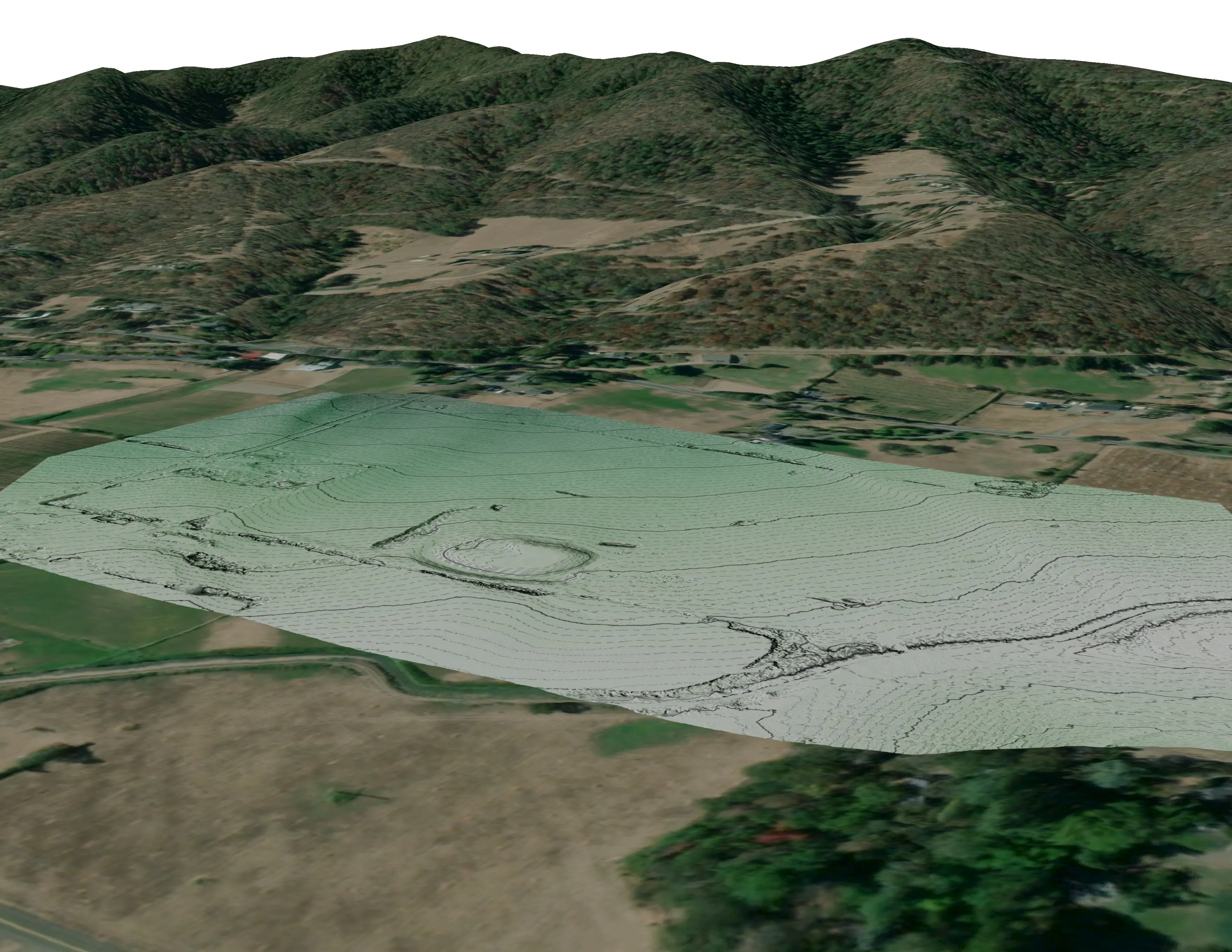
A farm plan on real ground
Plant Oregon with Oregon Urban Rural and Community Forestry, a tree nursery in development
Terrain, ponds, tree mounds, and a site plan drawn on a current ortho of the whole farm.
Read the case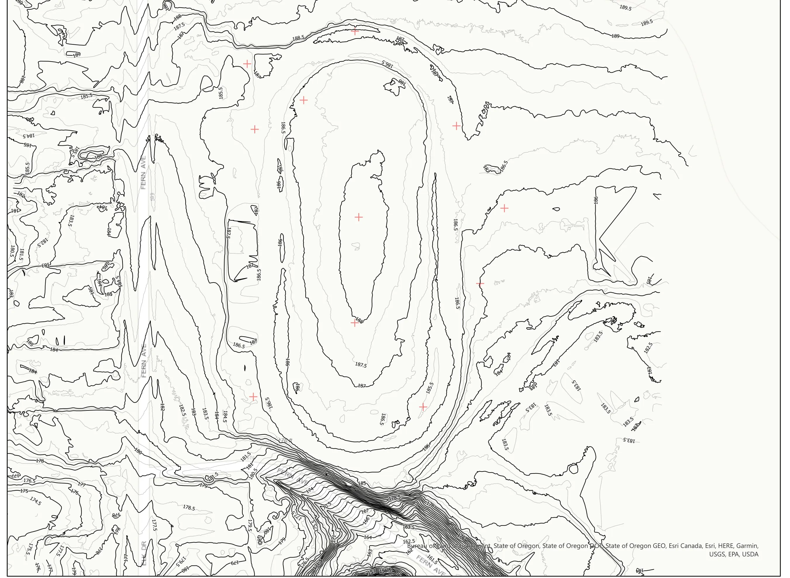
A school site, ready for the engineers
Pacific 3D Reality Capture, for the Brookings Harbor High School campus
Drone LiDAR terrain and contours over a 37 acre school campus, delivered as plan sheets and CAD ready data for the design team.
Read the case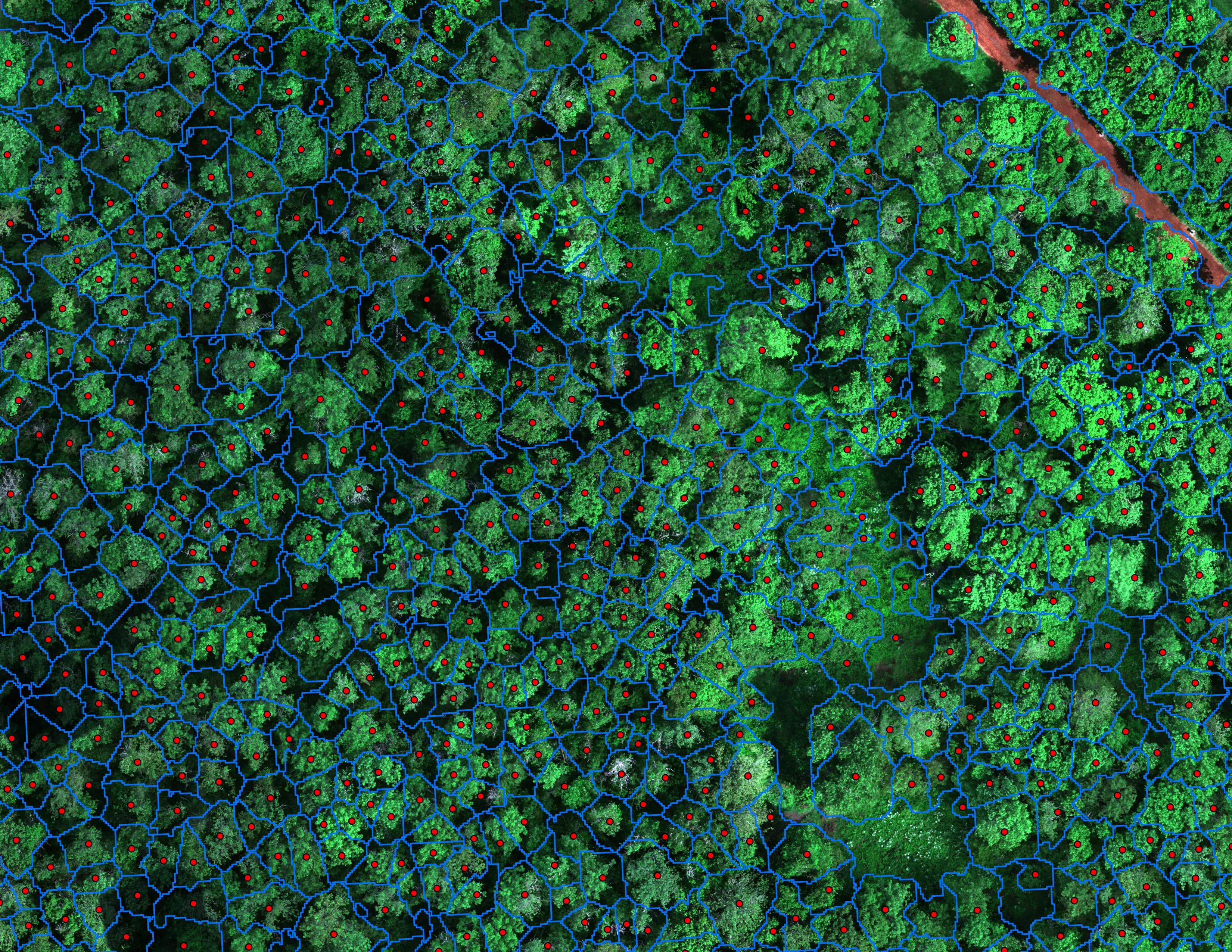
Finding every Oregon ash before the borer does
City of Eugene, Parks and Open Space
12,632 crowns classified across 390 acres of riparian canopy. 5,261 of them Oregon ash.
Read the caseThe record
Our published forestry, river, terrain and farm work
Forestry and trees
- Downed woody debris, measured from the air
- Finding every Oregon ash before the borer does
- At risk, declining, dieback, dead
- Post harvest monitoring for ODF
- A planting corridor through Phoenix, tree by tree
Rivers and habitat
- Riparian species and cold seeps on the Scott River
- Ten abandoned mines, bare earth under the chaparral
Terrain and site design
Farm planning
St. Joseph, the north end of the trip.
A loess field, a bottomland farm, a cooperative corridor or the parkway's trees. Tell us the ground and we will finish the Missouri trip here.
Email info@roguerecon.net or call 808 298 6290.