

Chico, California
Orchards on the flat, fire on the ridge, a park the size of a town.
Butte County lost Paradise to the Camp fire in 2018 and has been rebuilding, replanting and remapping its ridges since. Chico below it has one of the largest city parks in the country, orchards in every direction, and a creek that drains the fire country into town.
The ground
Chico and Butte County
Chico lies on the east side of the Sacramento Valley where Big Chico Creek comes out of the foothills through Bidwell Park, thousands of acres of oak and sycamore and creek running from downtown up into the canyon. The valley around it is almonds, walnuts, rice toward the river and the orchards of Durham and Dayton. East, the ridges climb through the Camp fire scar at Paradise and Magalia toward the Plumas country the North Complex and the Dixie fire burned in 2020 and 2021.
Who buys mapping here
- City of Chico: Public Works, Parks and the Bidwell Park and Playground Commission, the Urban Forest Manager
- Town of Paradise and the Paradise Recreation and Park District, rebuilding since 2018
- Butte County: Fire Safe Council, Office of Emergency Management, Public Works, the county GIS
- CAL FIRE's Butte Unit and the Chico and Paradise fire departments
- Butte County Resource Conservation District and the Big Chico Creek watershed groups
- California State University, Chico, its ecological reserves and the university farm
- Pacific Gas and Electric's foothill and valley lines
- Almond, walnut and rice growers, the water districts and the levee reclamation districts
- The Lassen and Plumas national forests and the BLM lands on the ridges
Getting there
From Medford
About four and a half hours from Medford, down Interstate 5 and across to Highway 99. We base in Chico for several days and cover the ridge, the valley and the orchards.
The public lidar
What exists, and what it misses
Butte County was flown after the Camp fire and the valley has federal lidar for floodplain and levee work, so the terrain is well known. What the rebuilding ridge, the park and the orchards need is current vegetation: ladder fuels around rebuilt homes, canopy and health in the park, drainage and canopy in an orchard block after a wet winter.
What we would fly
The lanes that fit Chico


Nearest work
Butte County is not on the log yet. Behind the offer: the Ashland fuels and exposure numbers that carried a wildfire plan, a nursery planned on drone LiDAR terrain, and a fire flown for eleven nights.
Citywide LiDAR for the Ashland CWPP
City of Ashland
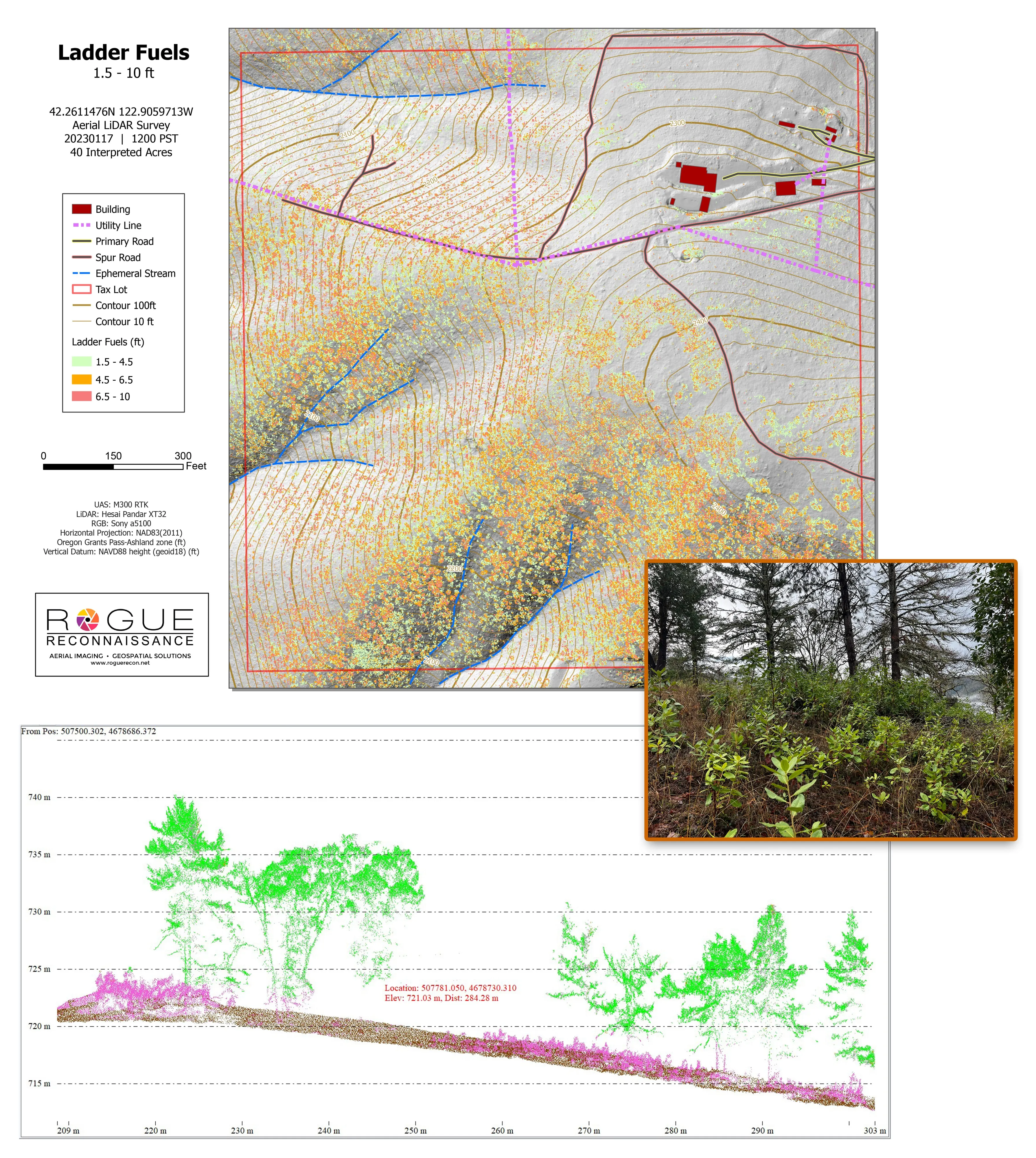
Citywide drone LiDAR that gave the 2025 Ashland Community Wildfire Protection Plan its ladder fuel and structure exposure numbers.
Read the case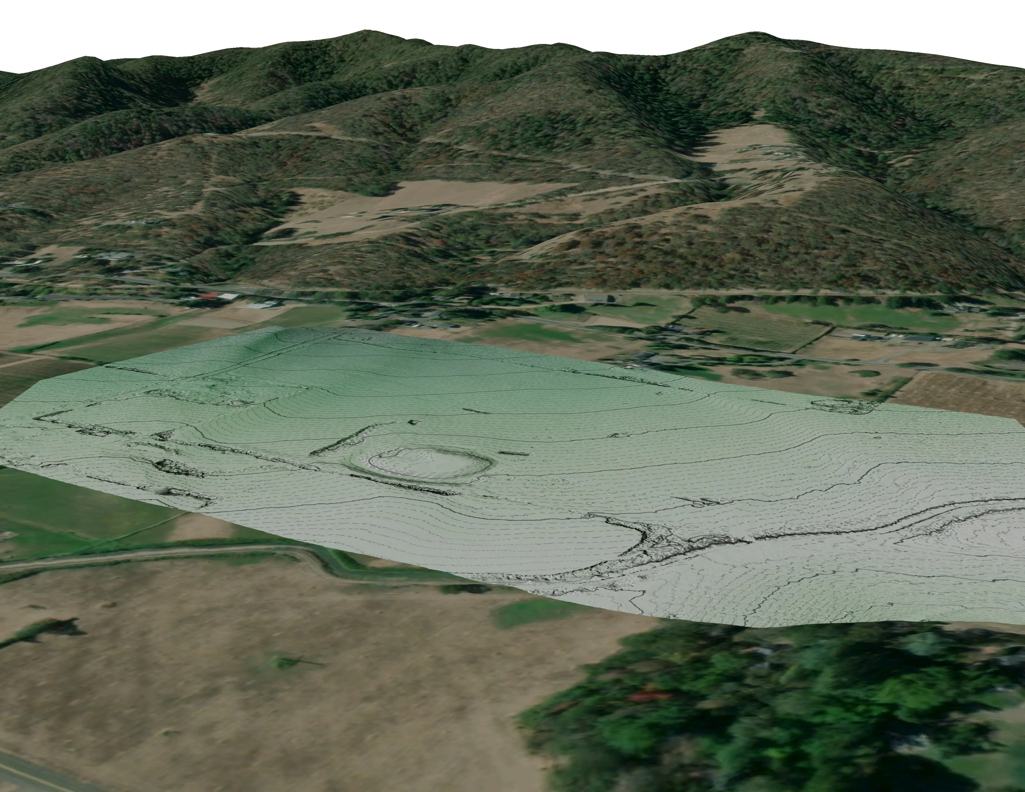
A farm plan on real ground
Plant Oregon with Oregon Urban Rural and Community Forestry, a tree nursery in development
Terrain, ponds, tree mounds, and a site plan drawn on a current ortho of the whole farm.
Read the case
Fielder Mountain, eleven nights as the heat went out
Oregon Department of Forestry
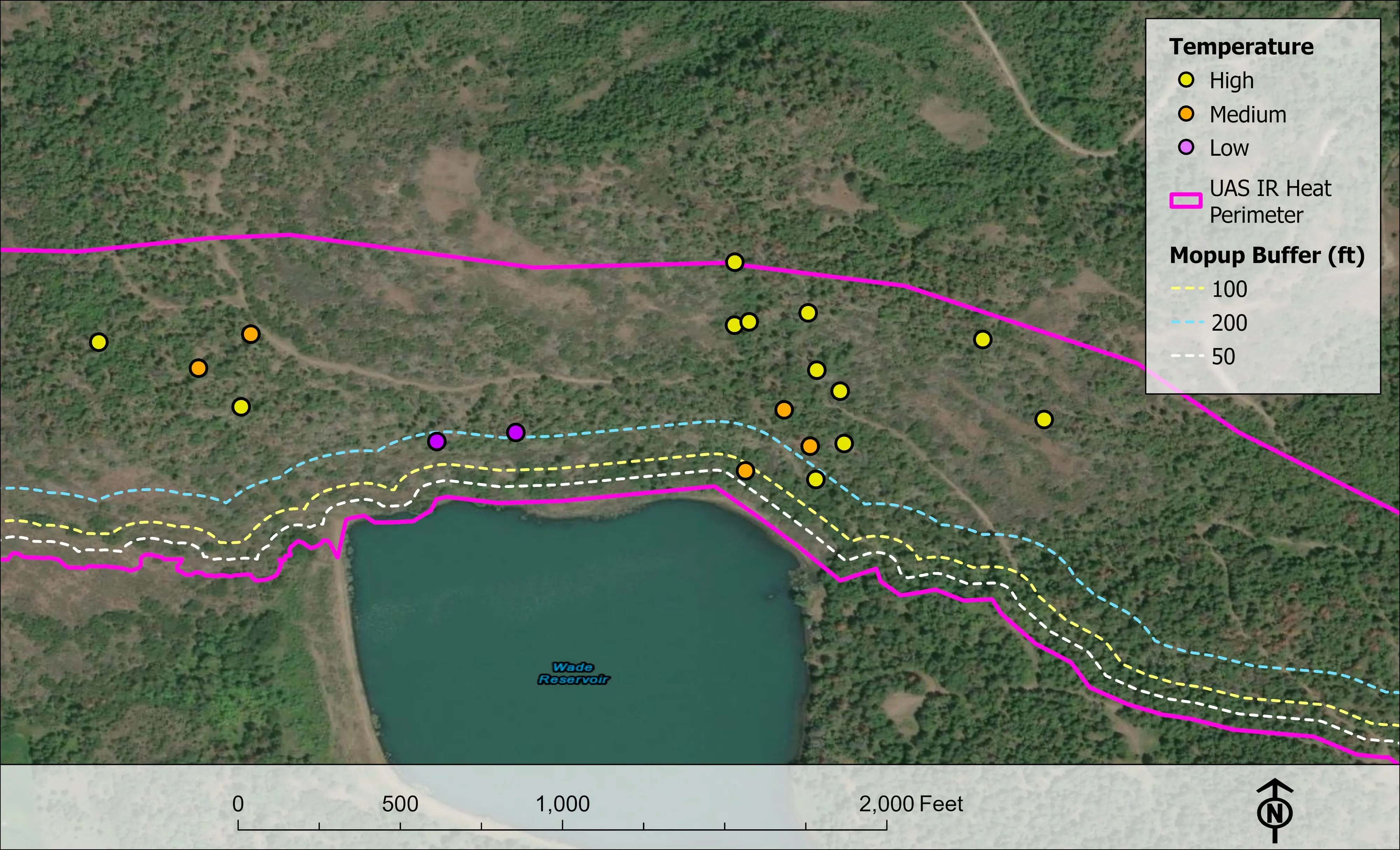
Eleven nights of infrared on one steep fire in August 2026. The heat sources on the map fell from 2,852 on the first night to 58 on the last.
Read the caseThe record
Every project we have published
Forestry and trees
- Downed woody debris, measured from the air
- Finding every Oregon ash before the borer does
- At risk, declining, dieback, dead
- Post harvest monitoring for ODF
- A planting corridor through Phoenix, tree by tree
Rivers and habitat
- Riparian species and cold seeps on the Scott River
- Ten abandoned mines, bare earth under the chaparral
Wildfire fuels and planning
Night infrared on fires
- Night infrared on ODF incidents since 2019
- East Evans Creek, a season inside one fire
- Fielder Mountain, eleven nights as the heat went out
- Woodrat Mountain, from initial attack to the last check
- Interstate 5 at milepost 57, initial attack beside the freeway
- Tyee Ridge Complex
Terrain and site design
Farm planning
Chico and the ridge, on one trip.
A fuels planning area above town, a park canopy count, or an orchard block to plan. Send the boundary and when the data is needed.
Email info@roguerecon.net or call 808 298 6290.