

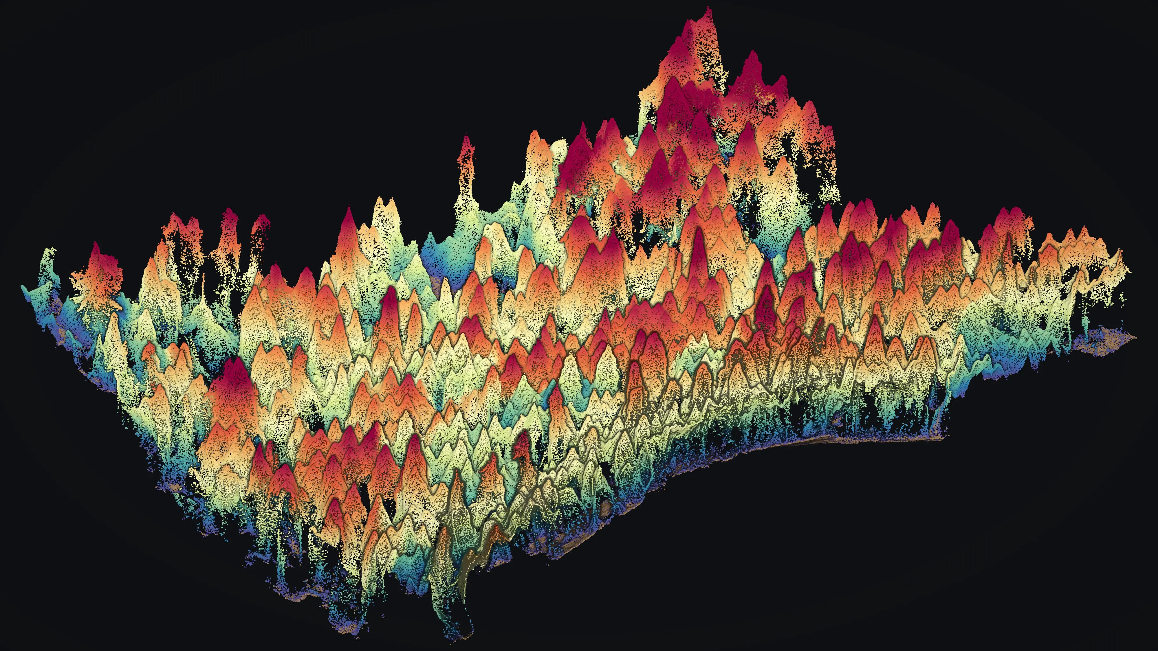
Oakland, California
The hills that burned in 1991, measured for the next plan.
The Oakland hills fire of 1991 is the reason the East Bay has the largest regional park fuels program in the country, a city vegetation management plan, and a public that reads fuel maps. Structure by structure exposure and canopy from drone LiDAR is the data those plans ask for, and the Ashland work is its proof.
The ground
Oakland and Alameda County and Contra Costa County
Oakland runs from the bay and the port up through the flats to a ridge of eucalyptus, Monterey pine, oak and bay laurel where the Tunnel fire burned nearly three thousand homes in 1991. Above and behind the city are the East Bay Regional Park District's lands, Tilden to Redwood to Chabot, the East Bay Municipal Utility District's watershed around the reservoirs, and the University of California's hill campus. Lake Merritt sits in the middle of town; the Caldecott tunnel carries the freeway through the ridge.
Who buys mapping here
- City of Oakland: Fire Department and its vegetation management program, Public Works tree services, Parks, the GIS group
- East Bay Regional Park District and its fuels management program across Alameda and Contra Costa counties
- East Bay Municipal Utility District and its watershed lands
- The Oakland Firesafe Council, the Diablo Fire Safe Council and the Hills Emergency Forum agencies
- University of California, Berkeley: the hill campus, Strawberry Canyon and the Lawrence lab lands
- Alameda County and Contra Costa County, and the cities along the ridge: Berkeley, Piedmont, Orinda, Moraga, Lafayette
- The Port of Oakland and the East Bay's transit and highway agencies with trees on their right of way
- Pacific Gas and Electric's lines through the hills
Getting there
From Medford
Six and a half hours up and down Interstate 5, or a flight into Oakland International. The East Bay shares a trip with San Francisco; the regional parks alone can fill it.
The public lidar
What exists, and what it misses
The East Bay has public lidar and the park district and the utility have flown their own for fuels planning, so the terrain and the broad vegetation picture exist. What the ordinances and the grant reports ask for next is parcel scale: ladder fuels and canopy over roofs in the fire zone, treated units measured against untreated ones, and the eucalyptus stands tracked over time.
What we would fly
The lanes that fit Oakland


Nearest work
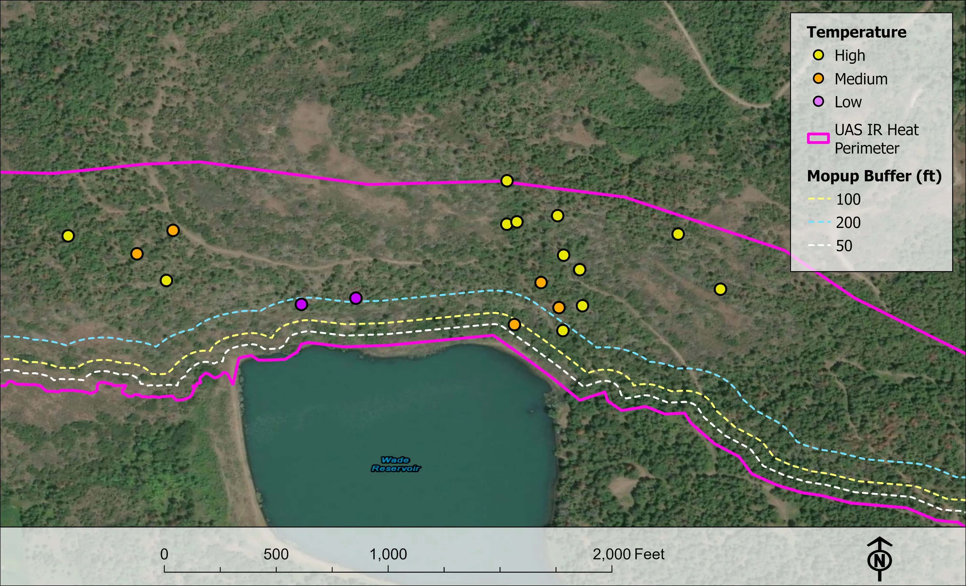
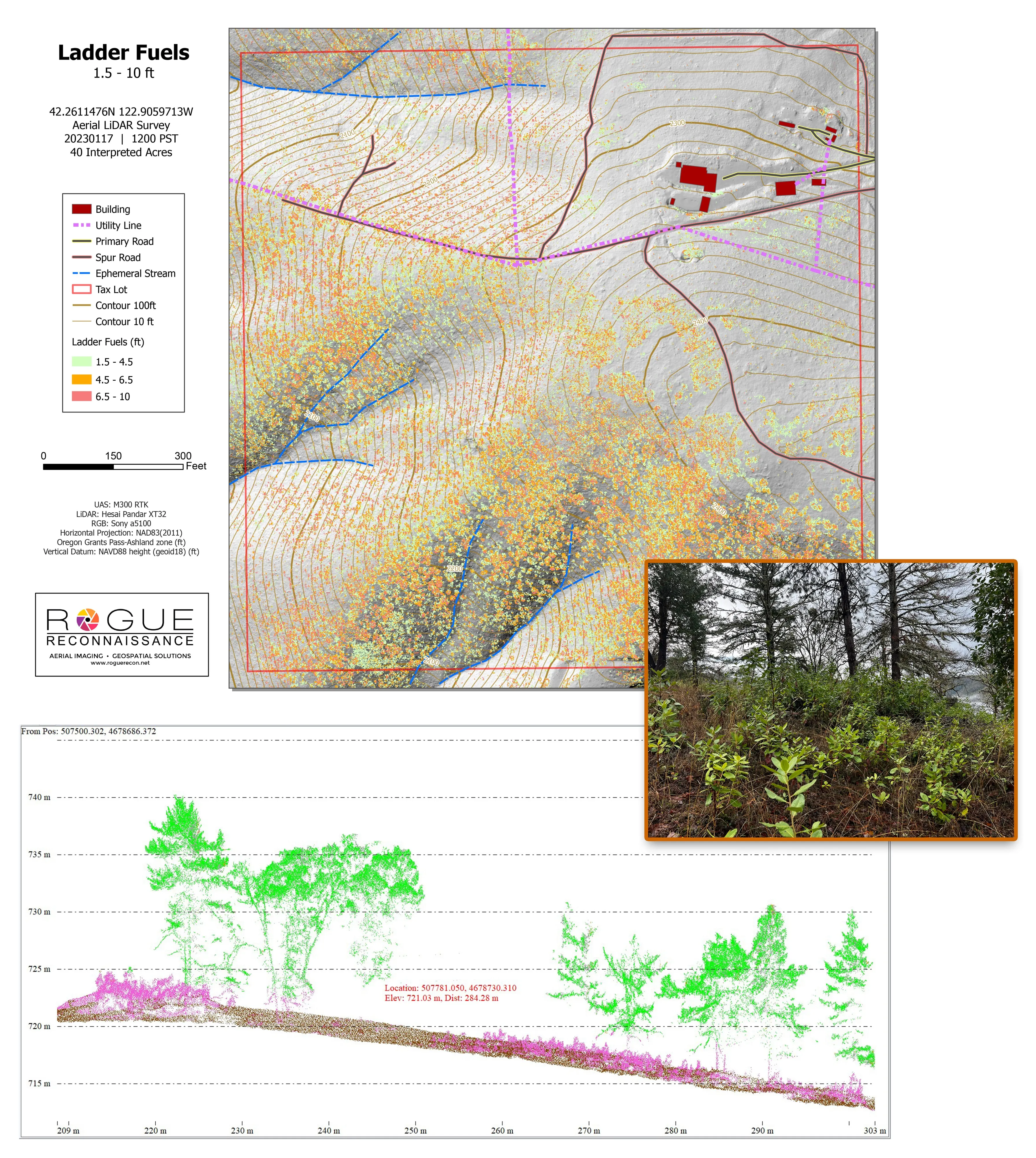
The East Bay has not had a flight from us. The proof travels: the Ashland citywide fuels data, a watershed of conifers classed by health, and bare earth under chaparral on BLM ground two hours north.
Citywide LiDAR for the Ashland CWPP
City of Ashland
Citywide drone LiDAR that gave the 2025 Ashland Community Wildfire Protection Plan its ladder fuel and structure exposure numbers.
Read the case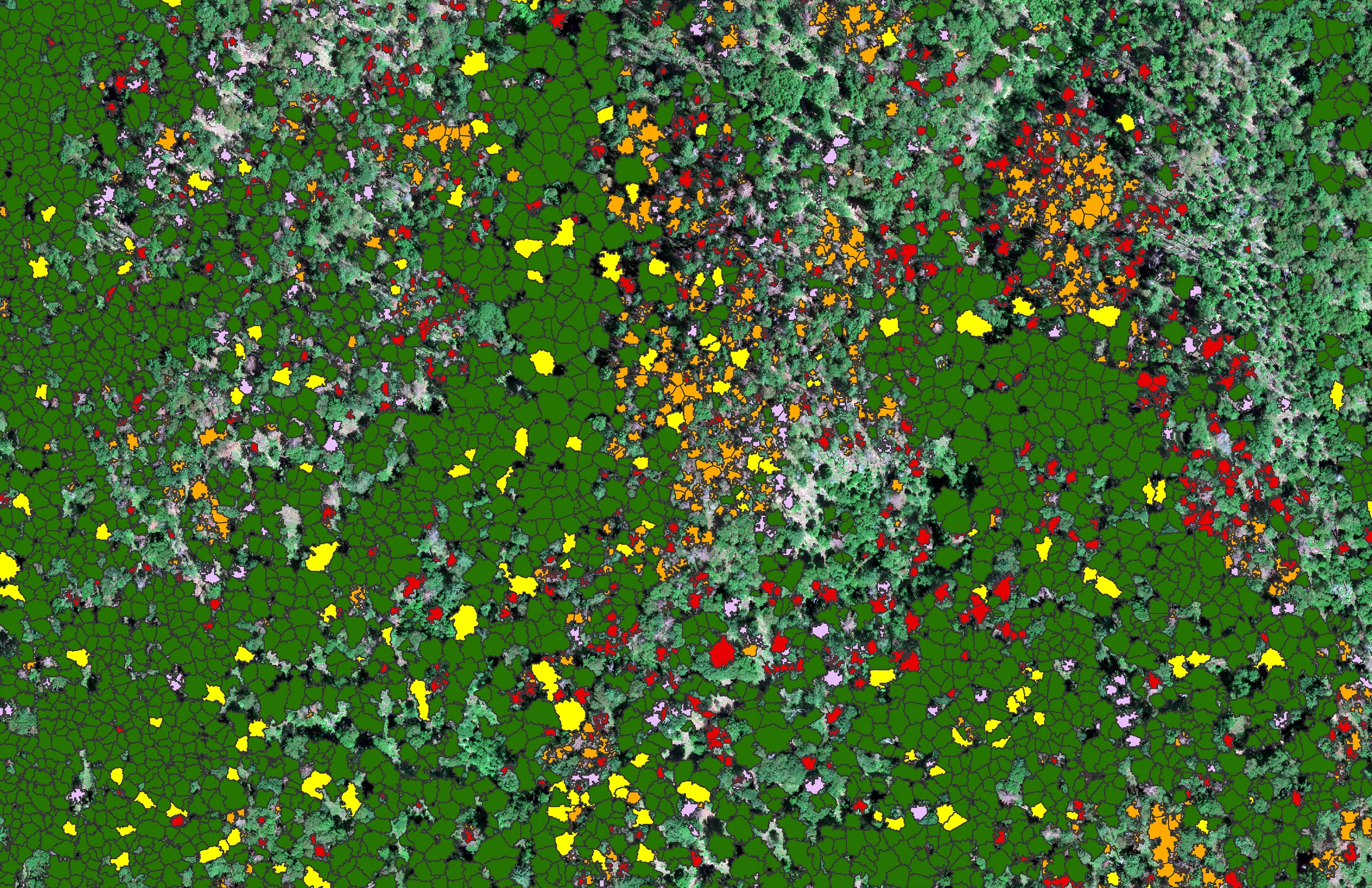
At risk, declining, dieback, dead
City of Ashland
About 30,000 Douglas fir crowns classed by health across the city's watershed lands, so the city could see the die off and act on it.
Read the case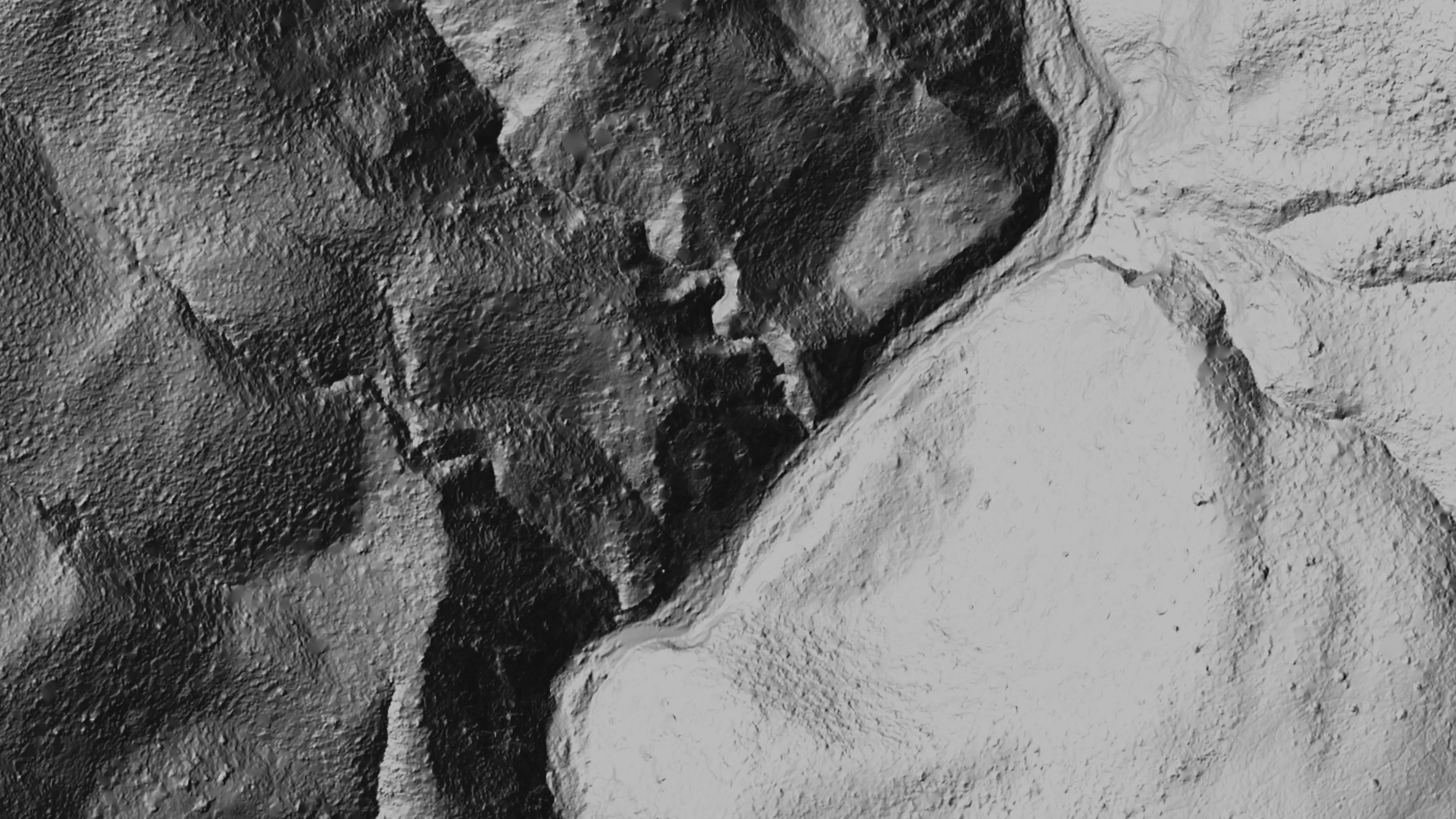
Ten abandoned mines, bare earth under the chaparral
Bat Conservation International, on Bureau of Land Management land, Ukiah Field Office
Bare earth, surface, and canopy height models over 779.4 acres of abandoned mine sites under steep chaparral, checked against the public LiDAR at 0.320 m RMSE.
Read the caseThe record
Every project we have published
Forestry and trees
- Downed woody debris, measured from the air
- Finding every Oregon ash before the borer does
- At risk, declining, dieback, dead
- Post harvest monitoring for ODF
- A planting corridor through Phoenix, tree by tree
Rivers and habitat
- Riparian species and cold seeps on the Scott River
- Ten abandoned mines, bare earth under the chaparral
Wildfire fuels and planning
Night infrared on fires
- Night infrared on ODF incidents since 2019
- East Evans Creek, a season inside one fire
- Fielder Mountain, eleven nights as the heat went out
- Woodrat Mountain, from initial attack to the last check
- Interstate 5 at milepost 57, initial attack beside the freeway
- Tyee Ridge Complex
Terrain and site design
Farm planning
The East Bay hills, parcel by parcel.
A fire zone to map structure by structure, a park unit to measure before and after treatment, or a watershed. Tell us which agency and what the plan needs, and we will put it on the Bay Area trip.
Email info@roguerecon.net or call 808 298 6290.