

Redding, California
Two and a half hours down the freeway, into Carr fire country.
Redding is the first big California city south of our base, and its fire history is written in the hills west of town. The Scott River corridor we classified by species lies between here and Medford, and the same flights serve the city's parks, the county's fuels planning and the engineers building on the slopes.
The ground
Redding and Shasta County
The Sacramento River comes out of Shasta Lake and runs through the middle of Redding under the Sundial Bridge, with the Sacramento River Trail along it. West of town the oak and chaparral hills rise toward Whiskeytown, where the 2018 Carr fire came down into the city's neighbourhoods, and the 2020 Zogg fire burned to the south west. North is the lake, the dam and the Shasta Trinity National Forest; south, the orchards and pasture of Anderson and Cottonwood.
Who buys mapping here
- City of Redding: Public Works, Community Services and Parks, Redding Electric Utility, the GIS group
- Shasta County: Office of Emergency Services, Public Works, Resource Management
- Redding Fire Department, the Shasta County Fire Department and CAL FIRE's Shasta Trinity Unit
- The Shasta Trinity National Forest, Whiskeytown National Recreation Area and the BLM Redding Field Office
- Western Shasta Resource Conservation District and the county's fire safe councils
- Shasta College and the Turtle Bay Exploration Park grounds
- Orchard and ranch operations toward Anderson and Cottonwood, and the engineers rebuilding in the fire footprint
Getting there
From Medford
About two and a half hours south of Medford on Interstate 5, over the Siskiyou Summit. A day trip for a site; an incident order the same night.
The public lidar
What exists, and what it misses
Northern California has federal 3DEP lidar over much of Shasta County and post fire flights over parts of the Carr footprint, built for terrain, floodplain and erosion work. A fire safe council ranking parcels, a city looking at its park canopy or a developer on a burned slope needs this season's vegetation at the parcel scale, which is a current drone flight.
What we would fly
The lanes that fit Redding


Nearest work
No Shasta County case published yet. The nearest proof is the Scott River corridor one county north, the BLM mine sites to the south west, and a 2026 incident flown night after night.
Riparian species and cold seeps on the Scott River
Cascade Stream Solutions, with a botanist leading field identification. We flew it as their subcontractor and reported to them.
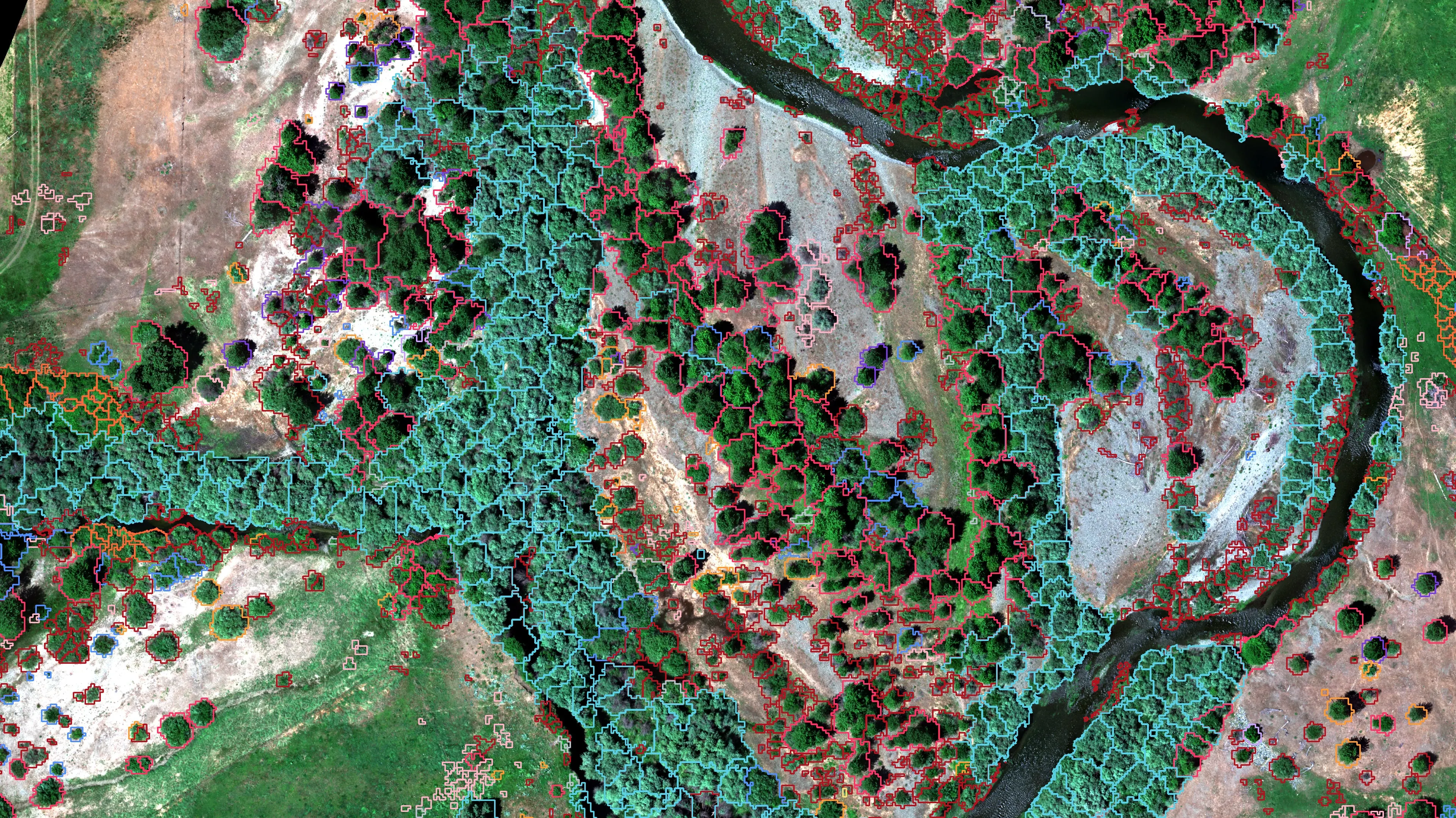
Fourteen riparian species classified across 423 acres of river corridor, with thermal mapping that pointed to groundwater fed cold seeps.
Read the case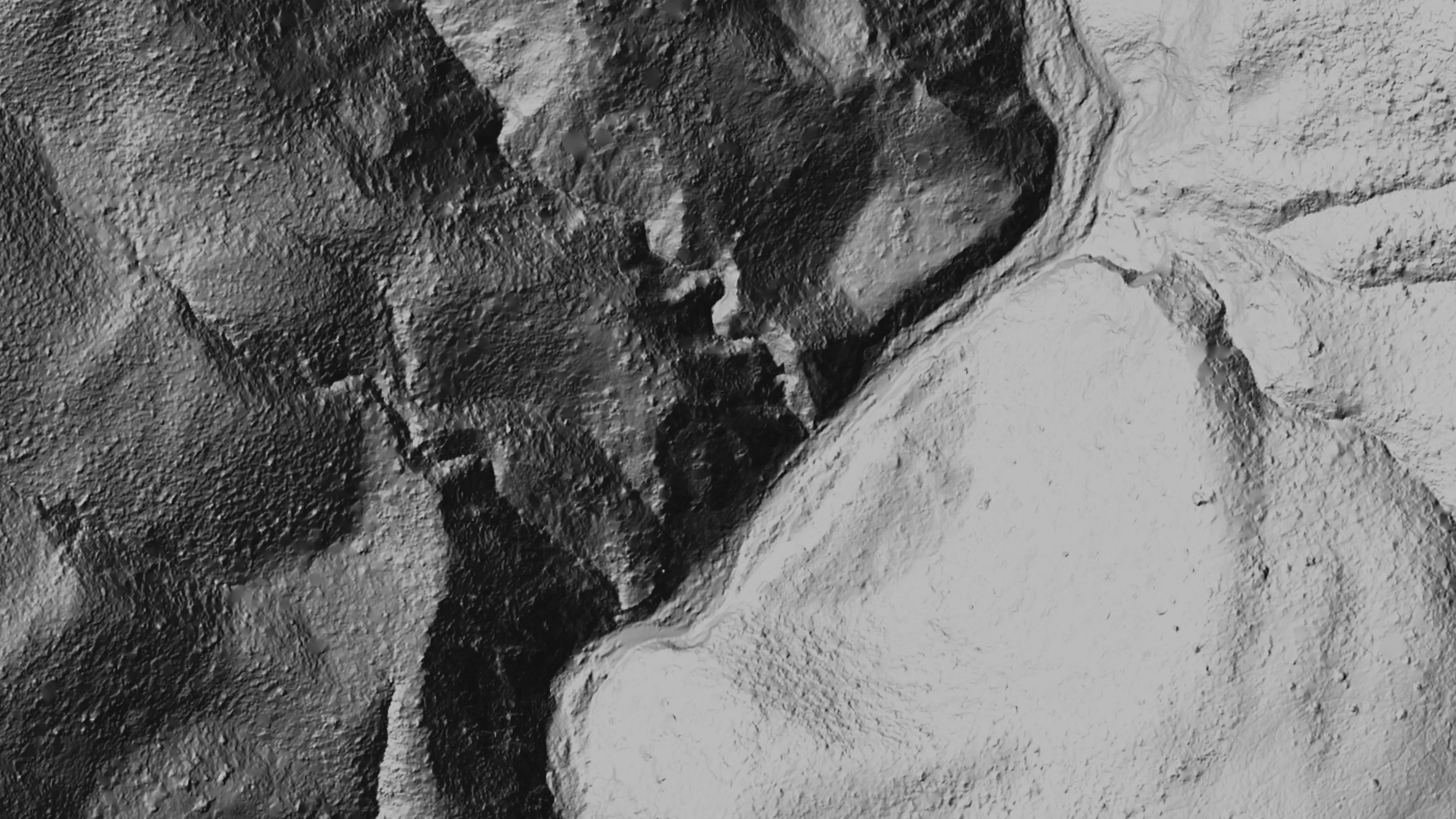
Ten abandoned mines, bare earth under the chaparral
Bat Conservation International, on Bureau of Land Management land, Ukiah Field Office
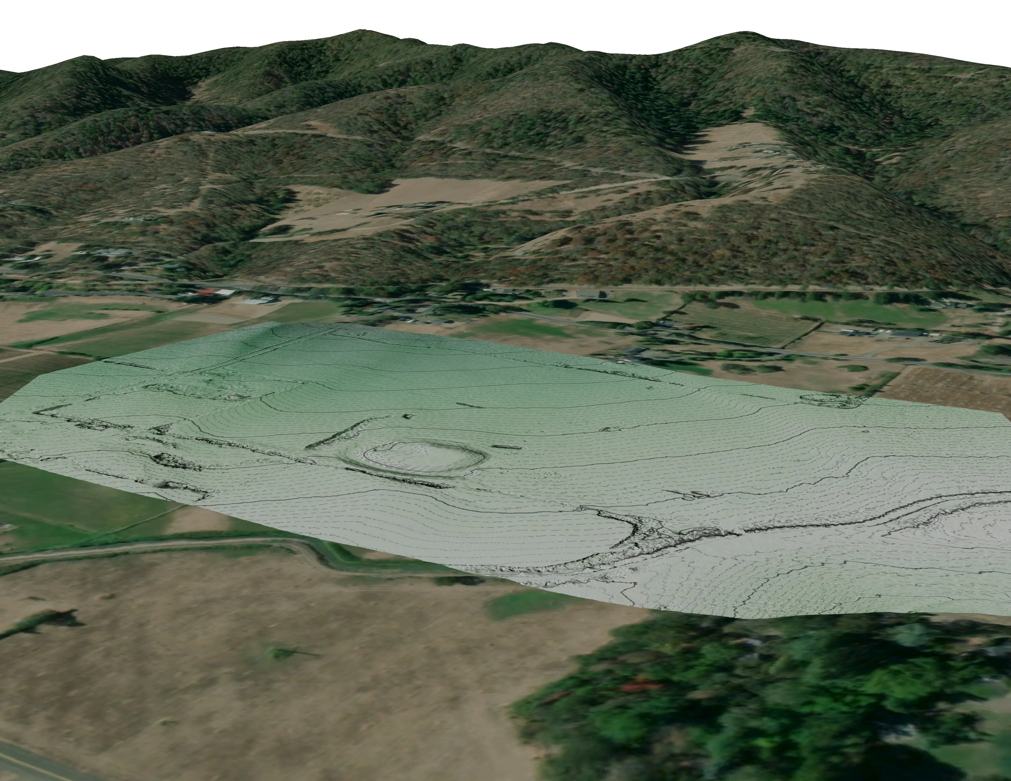
Bare earth, surface, and canopy height models over 779.4 acres of abandoned mine sites under steep chaparral, checked against the public LiDAR at 0.320 m RMSE.
Read the case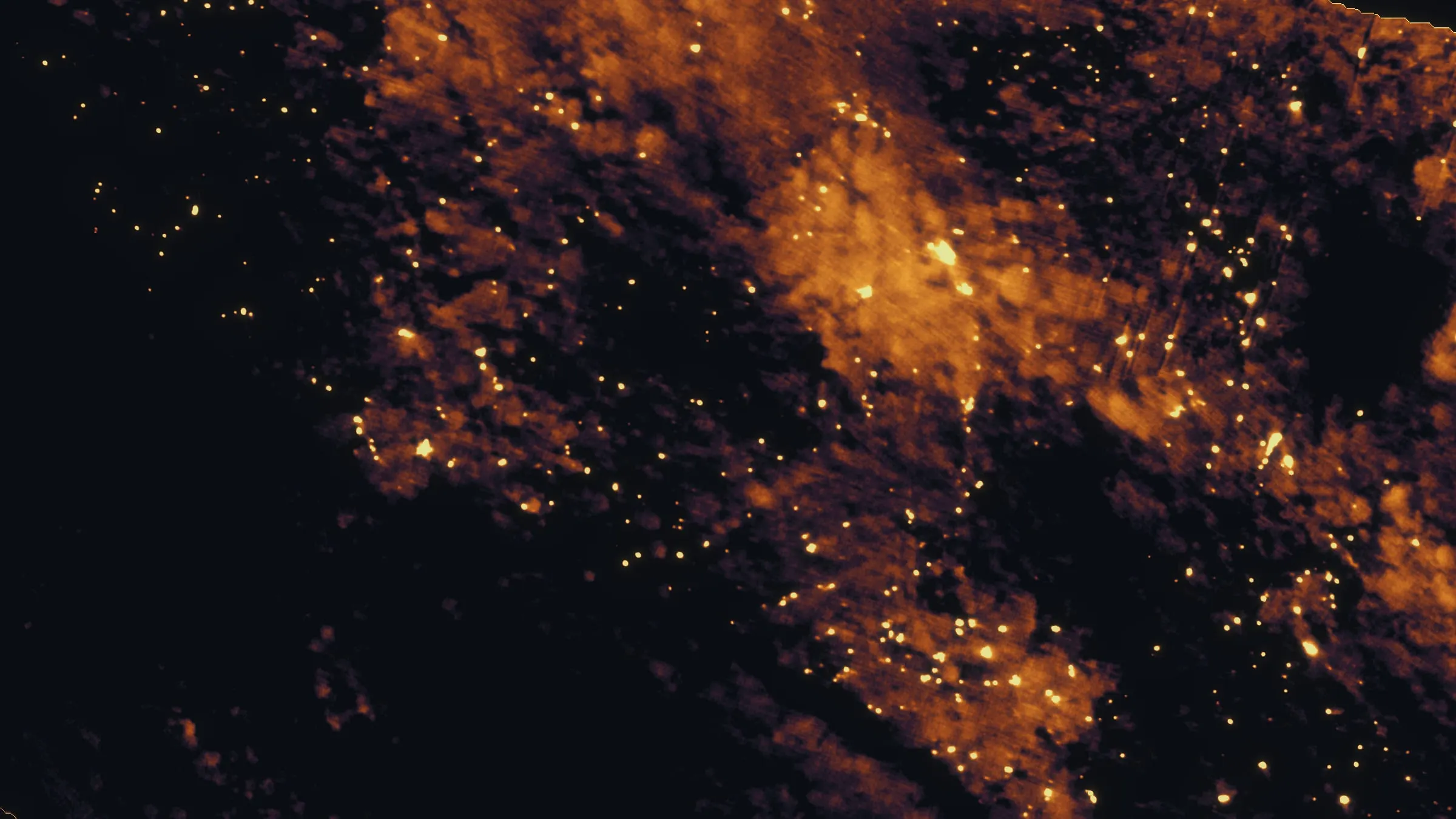
East Evans Creek, a season inside one fire
Oregon Department of Forestry
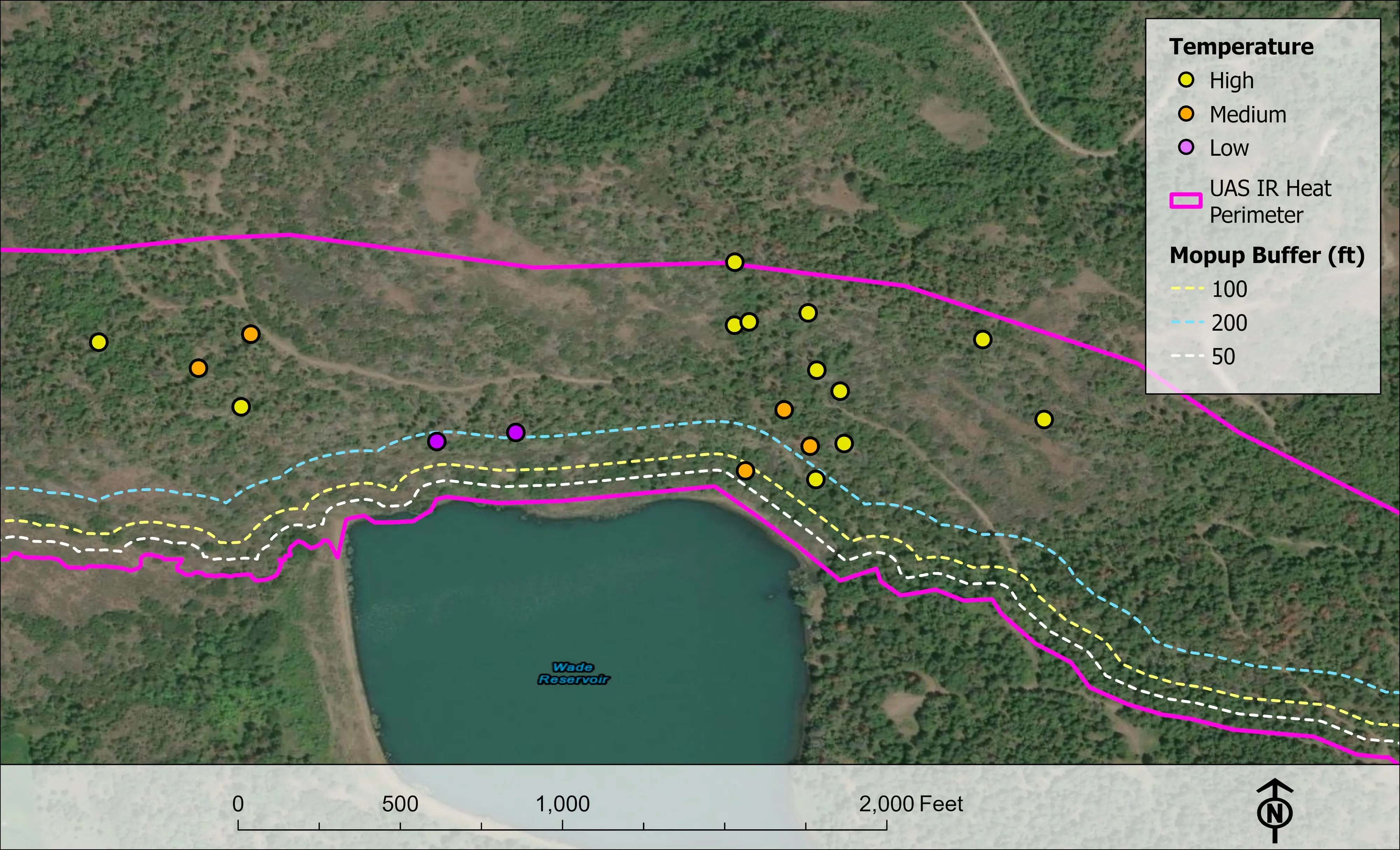
Fifteen nights on one incident across three weeks, eight divisions, and a heat map in the GIS specialist's hands before the morning briefing.
Read the caseThe record
Every project we have published
Forestry and trees
- Downed woody debris, measured from the air
- Finding every Oregon ash before the borer does
- At risk, declining, dieback, dead
- Post harvest monitoring for ODF
- A planting corridor through Phoenix, tree by tree
Rivers and habitat
- Riparian species and cold seeps on the Scott River
- Ten abandoned mines, bare earth under the chaparral
Wildfire fuels and planning
Night infrared on fires
- Night infrared on ODF incidents since 2019
- East Evans Creek, a season inside one fire
- Fielder Mountain, eleven nights as the heat went out
- Woodrat Mountain, from initial attack to the last check
- Interstate 5 at milepost 57, initial attack beside the freeway
- Tyee Ridge Complex
Terrain and site design
Farm planning
Redding, the first stop south.
A parcel on the west side, a park, a fuels planning area or a resource order. Send the ground and the date and we will be over the summit by morning.
Email info@roguerecon.net or call 808 298 6290.