


Riverside, California
The Inland Empire: a conservation plan, a river and hills on fire.
Western Riverside County grows faster than almost anywhere in the state inside one of the largest habitat conservation plans in the country, along a river the region is restoring, below hills that burn. Habitat mapping, fuels and the terrain of a building boom are the flights that fit, with the citrus groves that founded the city still on the map.
The ground
Riverside and Riverside County and San Bernardino County
The city sits on the Santa Ana River where it cuts between the Box Springs Mountains and the Jurupa Hills, with the parent navel orange tree still growing downtown and the last citrus groves in the Arlington Heights greenbelt. The valley fills with warehouses and subdivisions from Corona to Moreno Valley; above them the Santa Ana Mountains to the south west and the San Bernardinos to the north east burn in most decades, the Holy fire in 2018 and the Apple fire in 2020 among them. The conservation plan's reserve lands lie across all of it.
Who buys mapping here
- City of Riverside: Parks, Recreation and Community Services and the urban forestry program, Public Works, Riverside Public Utilities, the GIS group
- Riverside County: the Fire Department with CAL FIRE's Riverside Unit, Parks and Open Space, Transportation and Land Management, Emergency Management
- The Western Riverside County Regional Conservation Authority and its habitat conservation plan reserves
- The Santa Ana Watershed Project Authority and the Santa Ana River Trail partners; the Riverside Corona Resource Conservation District
- Southern California Edison; the Western Municipal Water District
- The University of California, Riverside, its citrus collections and agricultural operations; California Baptist University grounds
- Corona, Moreno Valley, Jurupa Valley, Norco, Lake Elsinore, Temecula and the other cities of the county
- March Air Reserve Base's environmental program; the Cleveland and San Bernardino national forests
Getting there
From Medford
A flight into Ontario with the aircraft in its cases; eleven hours from Medford by road. Riverside and the Inland Empire sit between Los Angeles and San Diego on the southern trip.
The public lidar
What exists, and what it misses
Riverside County and the regional agencies have countywide lidar and the conservation authority maps its reserves from it. Habitat on a reserve parcel, fuels on a hillside neighbourhood, a river reach after a restoration project or the ground on a development site each want a current flight at the resolution of the question.
What we would fly
The lanes that fit Riverside


Nearest work
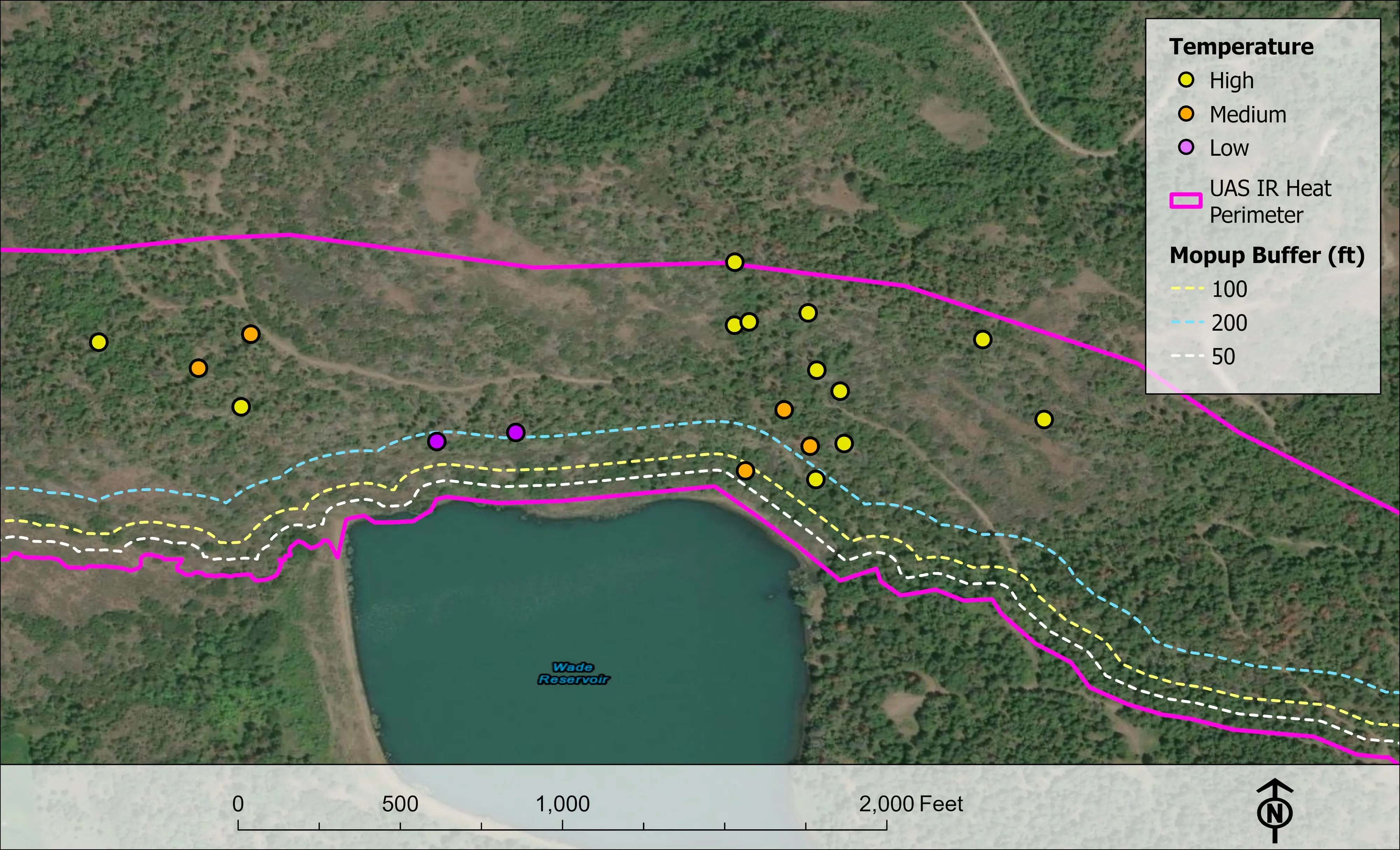
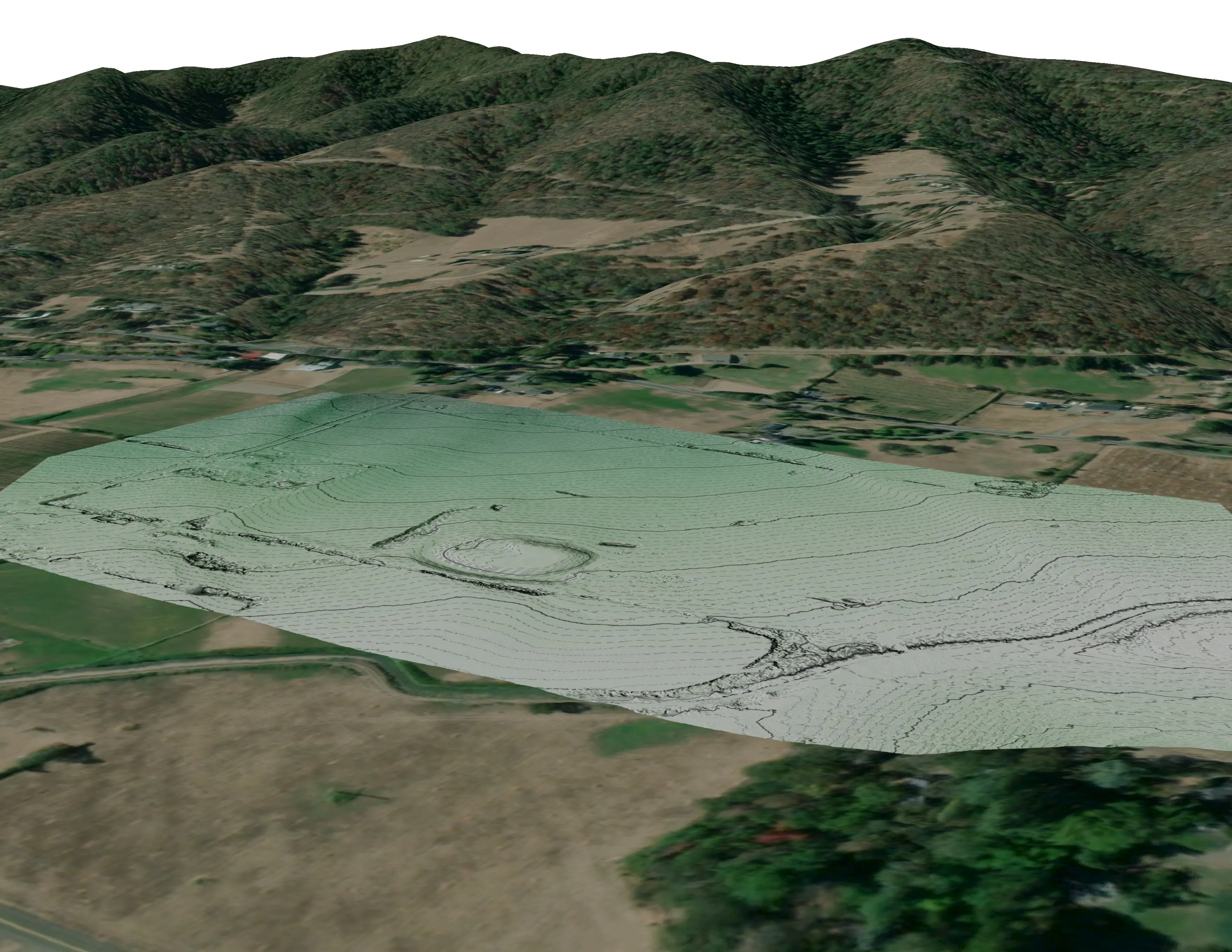
Riverside County has no flight of ours yet. Standing in: habitat and bare earth at ten BLM mine sites, a river corridor classified by species, and a town's fuels data behind its wildfire plan.
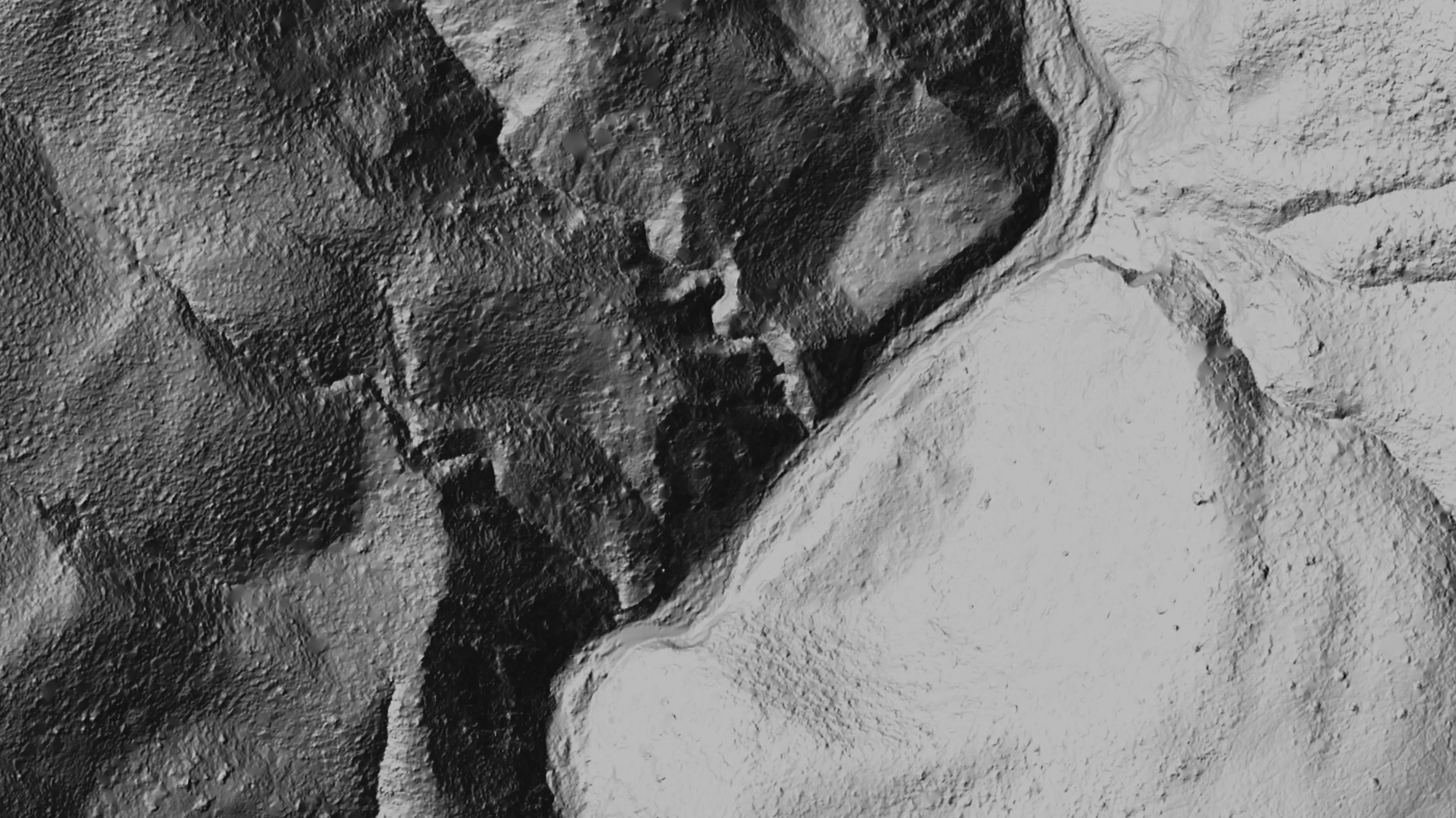
Ten abandoned mines, bare earth under the chaparral
Bat Conservation International, on Bureau of Land Management land, Ukiah Field Office
Bare earth, surface, and canopy height models over 779.4 acres of abandoned mine sites under steep chaparral, checked against the public LiDAR at 0.320 m RMSE.
Read the case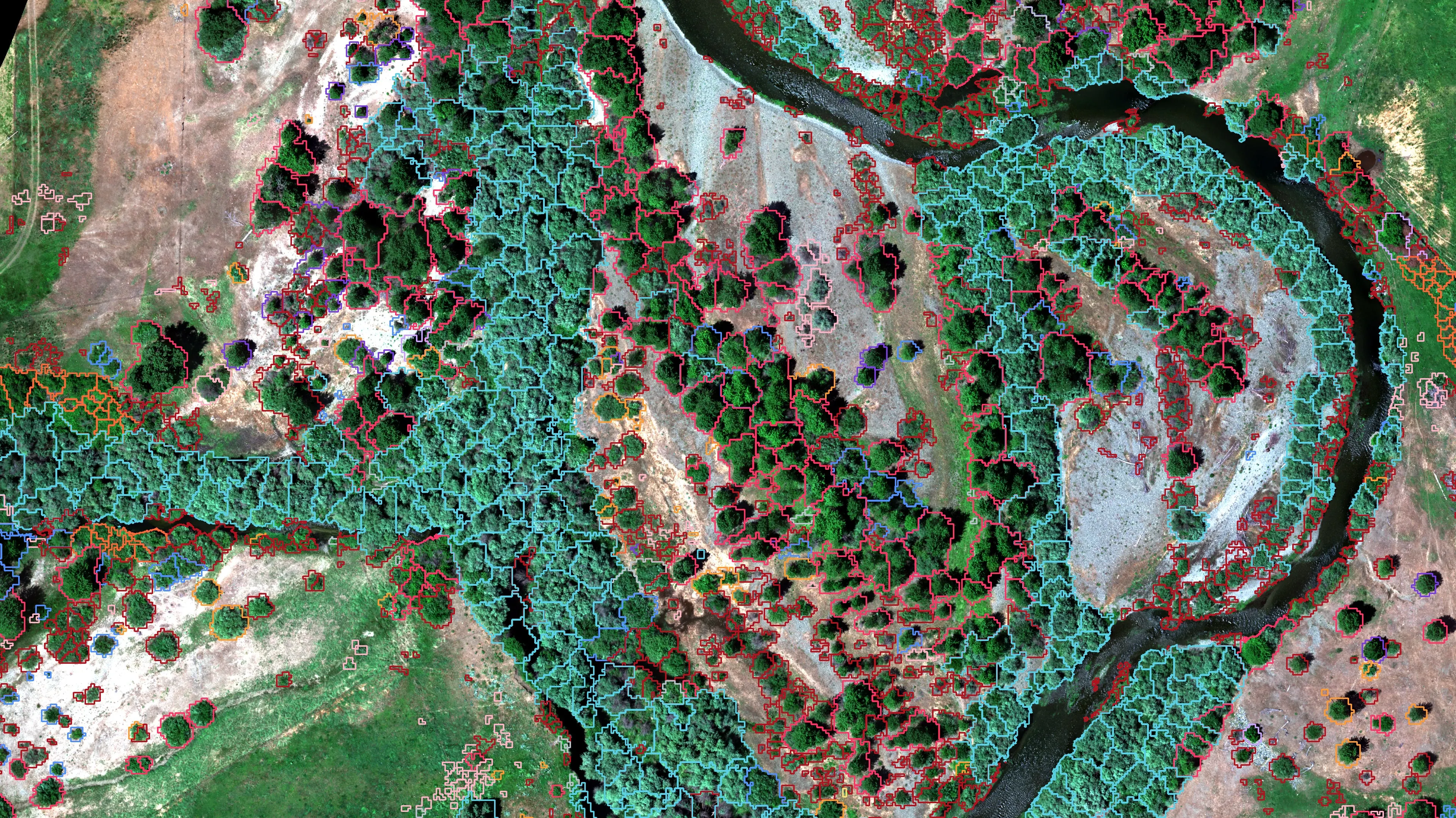
Riparian species and cold seeps on the Scott River
Cascade Stream Solutions, with a botanist leading field identification. We flew it as their subcontractor and reported to them.
Fourteen riparian species classified across 423 acres of river corridor, with thermal mapping that pointed to groundwater fed cold seeps.
Read the case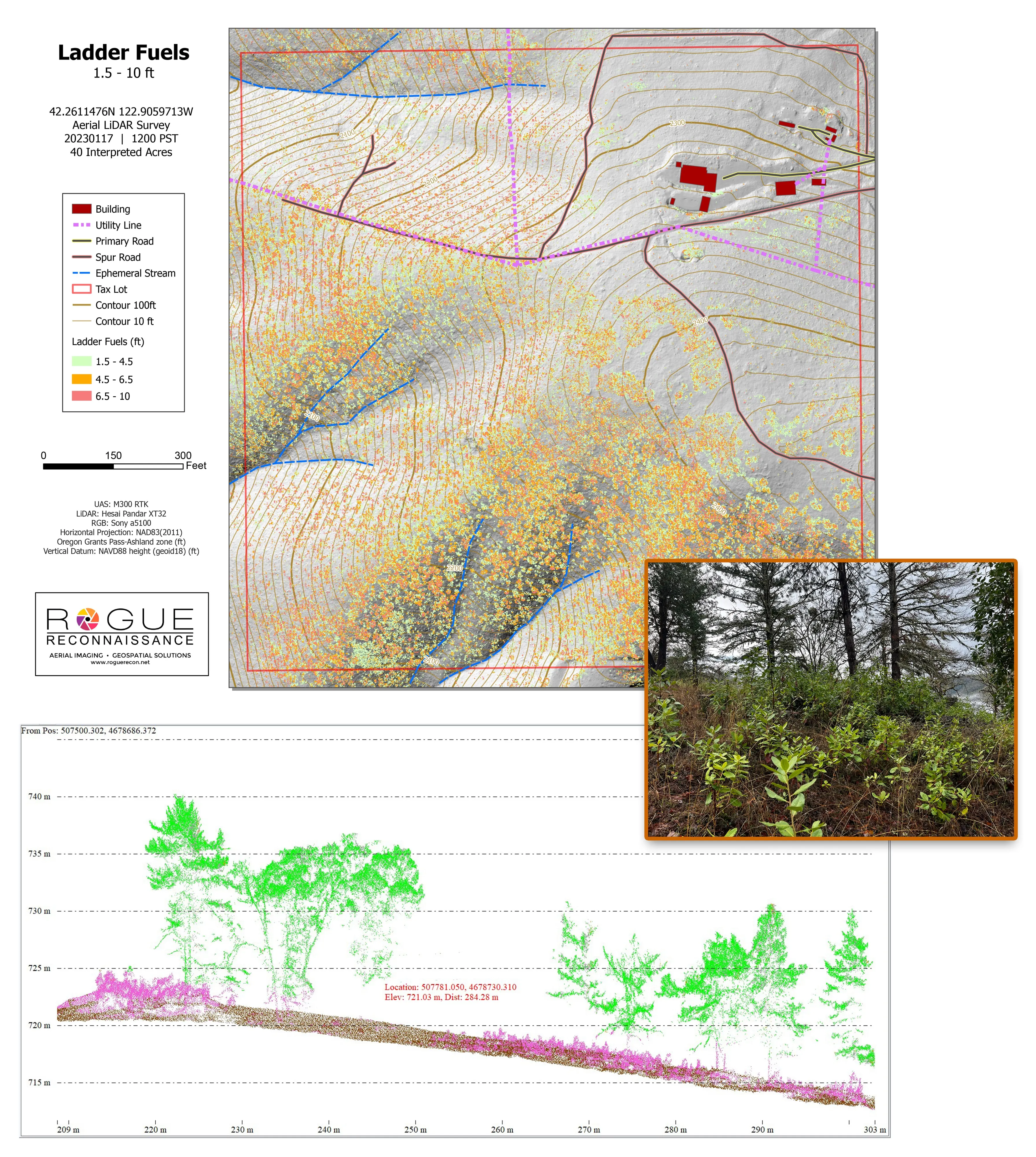
Citywide LiDAR for the Ashland CWPP
City of Ashland
Citywide drone LiDAR that gave the 2025 Ashland Community Wildfire Protection Plan its ladder fuel and structure exposure numbers.
Read the caseThe record
Every project we have published
Forestry and trees
- Downed woody debris, measured from the air
- Finding every Oregon ash before the borer does
- At risk, declining, dieback, dead
- Post harvest monitoring for ODF
- A planting corridor through Phoenix, tree by tree
Rivers and habitat
- Riparian species and cold seeps on the Scott River
- Ten abandoned mines, bare earth under the chaparral
Wildfire fuels and planning
Night infrared on fires
- Night infrared on ODF incidents since 2019
- East Evans Creek, a season inside one fire
- Fielder Mountain, eleven nights as the heat went out
- Woodrat Mountain, from initial attack to the last check
- Interstate 5 at milepost 57, initial attack beside the freeway
- Tyee Ridge Complex
Terrain and site design
Farm planning
Riverside and the Inland Empire.
A reserve parcel, a river reach, a hillside neighbourhood or a site. Say which agency is asking and what its plan has to show, and the Inland Empire gets its days on the southern trip.
Email info@roguerecon.net or call 808 298 6290.