

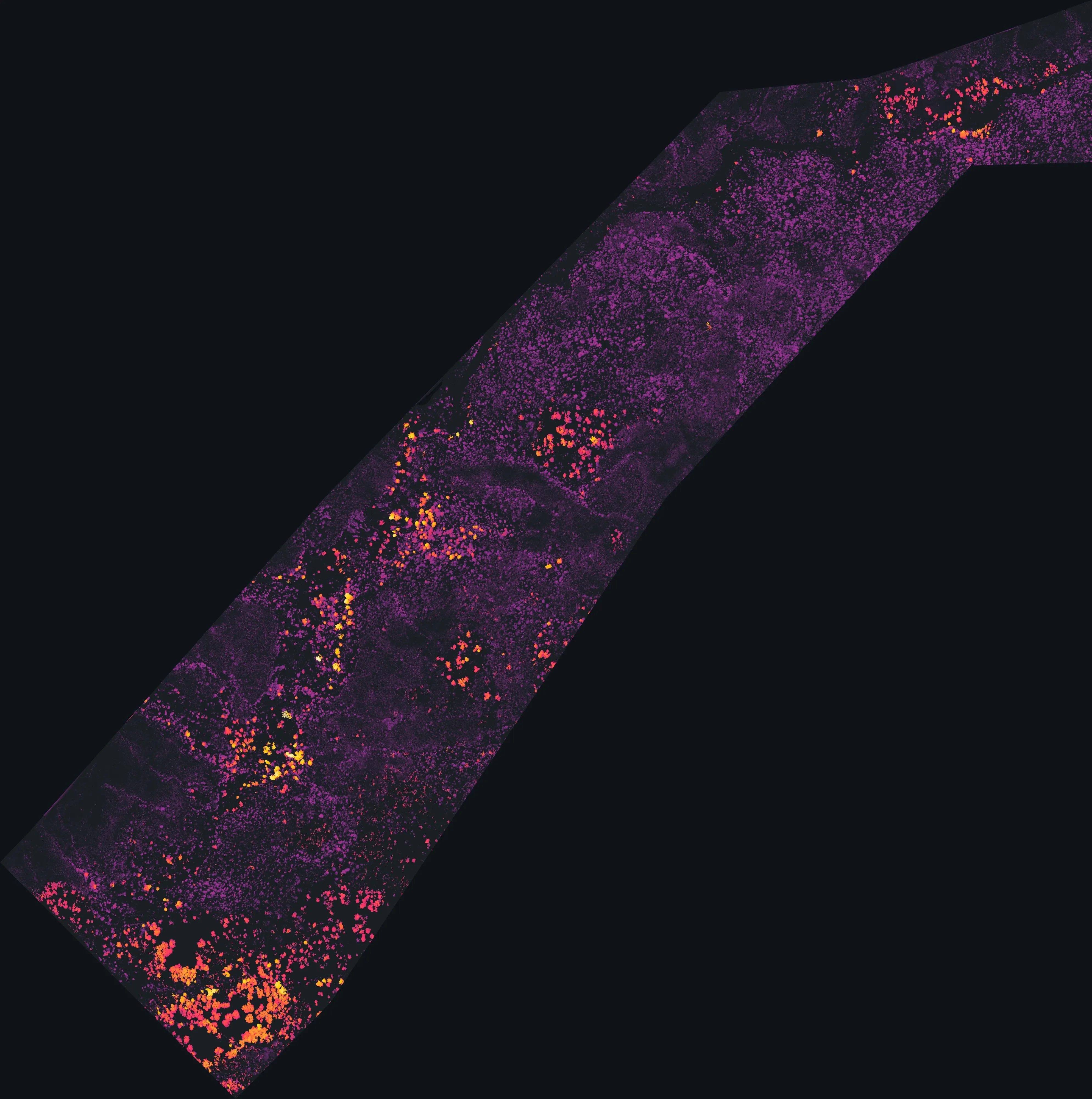
Santa Rosa, California
Wine country that burns, an hour from the mine sites we mapped.
Sonoma County has been burned three times in four years, from the Tubbs fire in Santa Rosa's own neighbourhoods to Kincade and Glass, and its planners, water agency, open space district and vineyards all buy mapping. Our BLM Ukiah mine site LiDAR is an hour north on the same highway.
The ground
Santa Rosa and Sonoma County
Santa Rosa sits in the valley between the Mayacamas on the east, where Fountaingrove and Coffey Park burned in 2017, and the Laguna de Santa Rosa and the coast ranges on the west. The Russian River runs north to south through the county's vineyards, Healdsburg to Guerneville, and the hills on both sides are oak woodland, chaparral and Douglas fir that the county now manages under a vegetation ordinance. Pepperwood Preserve, Annadel and the open space district's lands are the proving grounds for fuels work here.
Who buys mapping here
- City of Santa Rosa: Fire, Water, Parks and Recreation, Public Works, the GIS group; Healdsburg, Windsor, Sebastopol, Petaluma, Sonoma
- Sonoma County: Permit Sonoma and its vegetation management program, Emergency Management, Regional Parks
- Sonoma County Agricultural Preservation and Open Space District, Sonoma Water, Sonoma Land Trust
- Fire Safe Sonoma, the Sonoma County Fire District and CAL FIRE's Sonoma Lake Napa Unit
- Sonoma and Gold Ridge resource conservation districts, the Laguna de Santa Rosa Foundation, Pepperwood Preserve
- Pacific Gas and Electric and its vegetation management program in the county
- Santa Rosa Junior College and its Shone Farm; Sonoma State University
- Vineyard and winery operations across the county
Getting there
From Medford
About six hours from Medford down Highway 101, or a flight to Santa Rosa or the Bay Area. We pair Sonoma with Ukiah and Mendocino County on one trip.
The public lidar
What exists, and what it misses
Sonoma County flew its own countywide lidar after the 2017 fires and keeps the best public vegetation data in the north state. Even so, that flight is a date, and fuels, canopy and vineyard questions move every season: what regrew in the Glass fire scar, how a treated unit looks three years on, where the frost pockets and the drainage are in a block being replanted.
What we would fly
The lanes that fit Santa Rosa
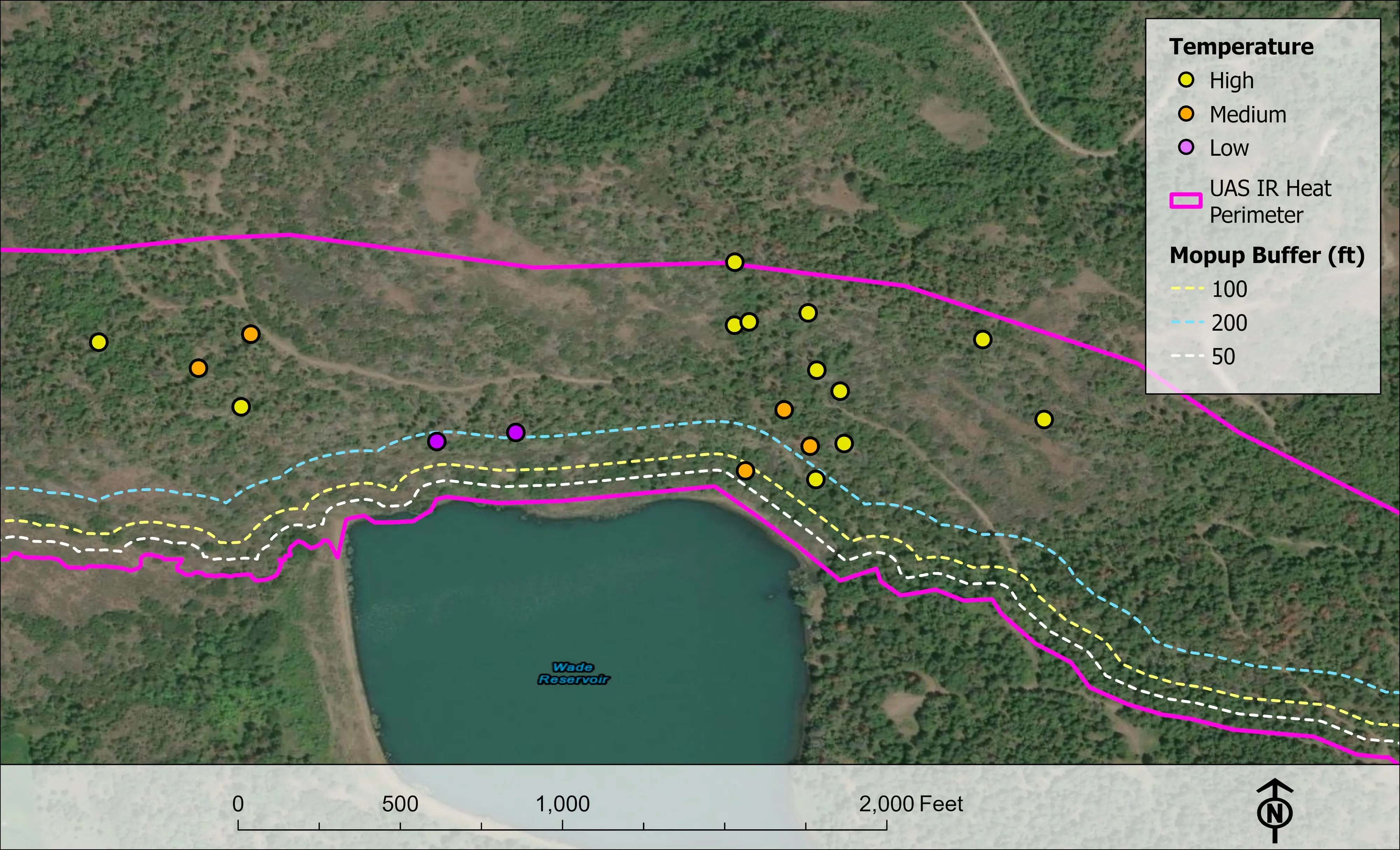


Nearest work
The BLM mine site LiDAR an hour north, a whole town's fuels data behind a wildfire plan, and a farm plan on drone LiDAR terrain.
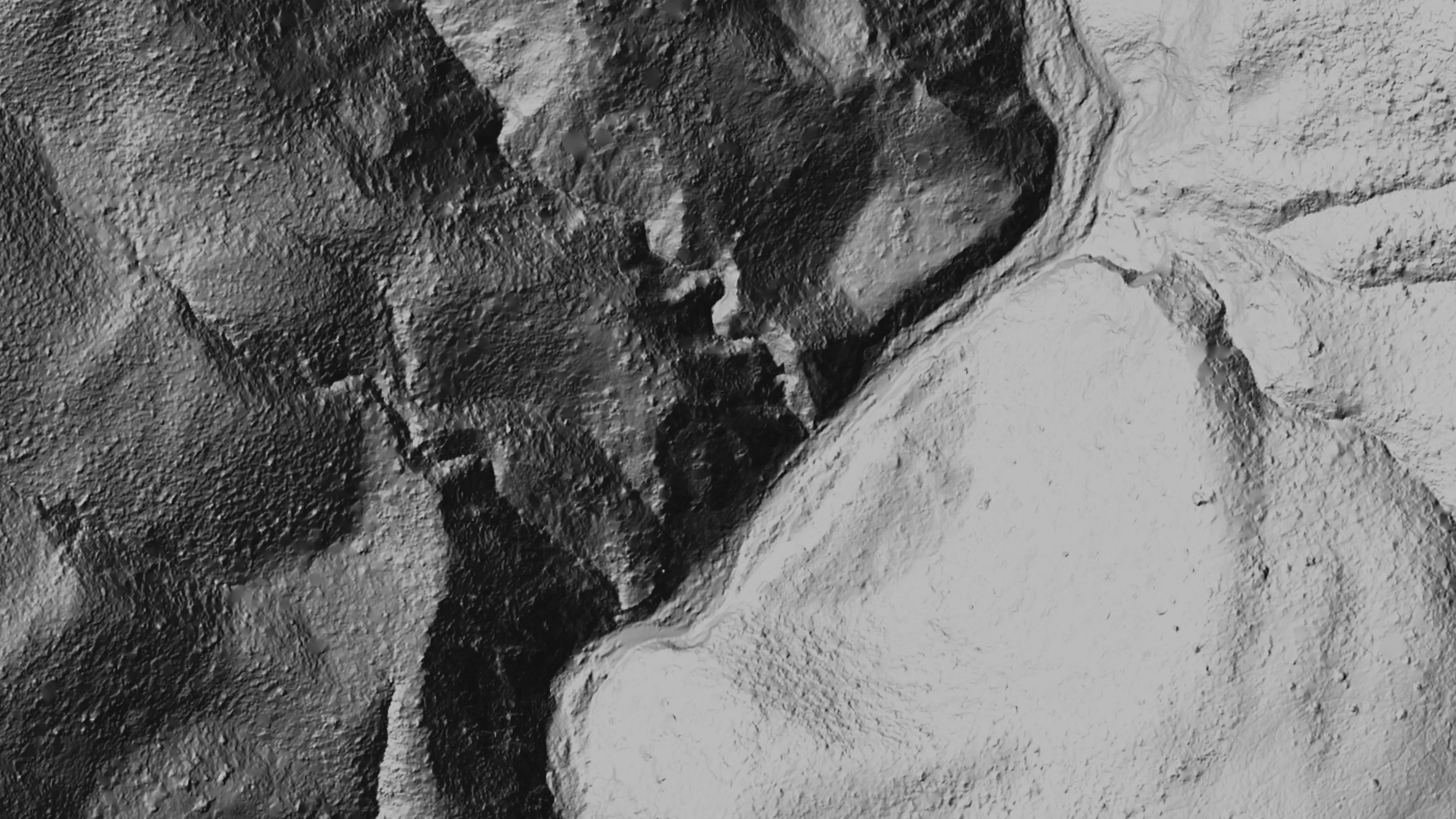
Ten abandoned mines, bare earth under the chaparral
Bat Conservation International, on Bureau of Land Management land, Ukiah Field Office
Bare earth, surface, and canopy height models over 779.4 acres of abandoned mine sites under steep chaparral, checked against the public LiDAR at 0.320 m RMSE.
Read the case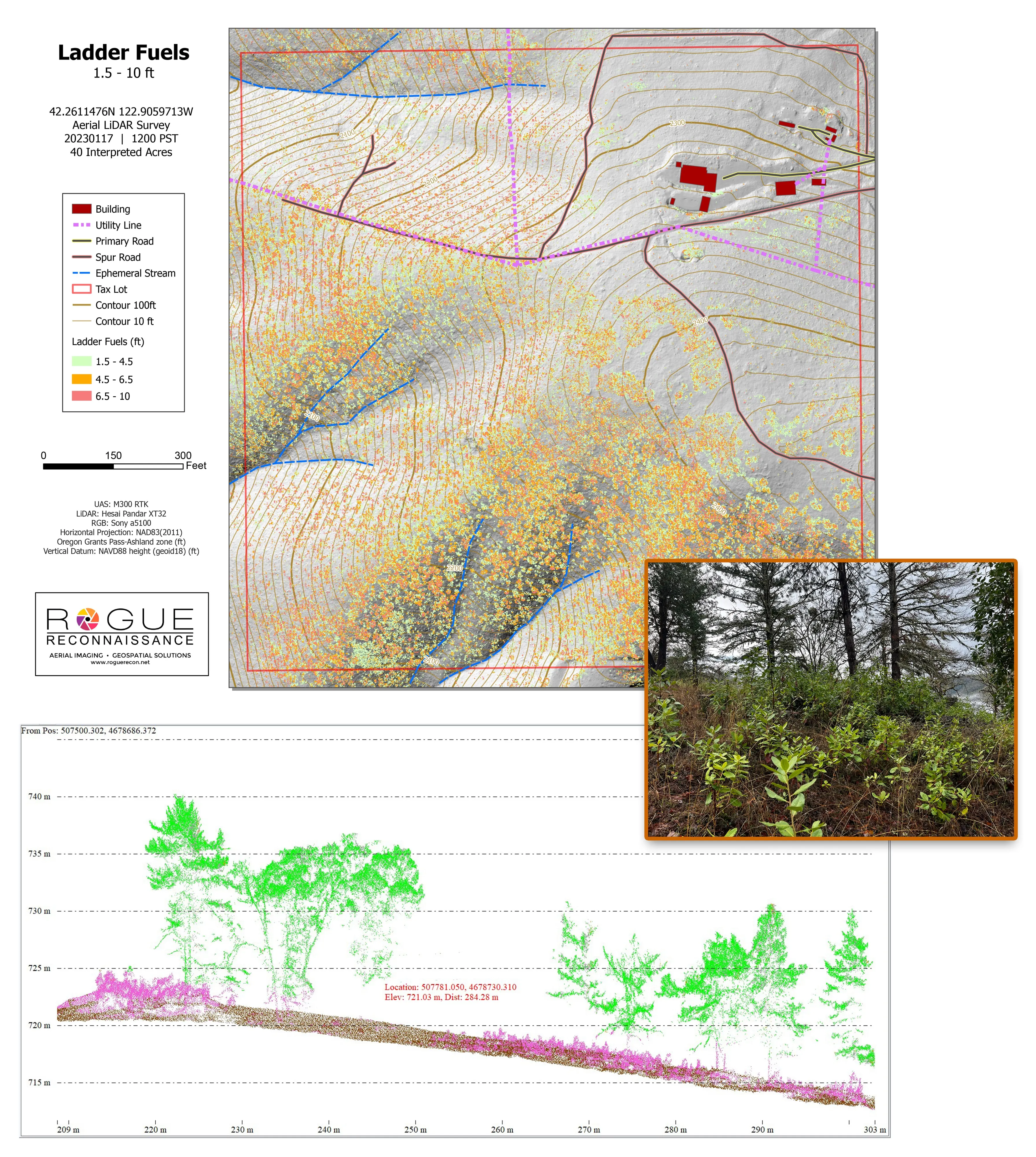
Citywide LiDAR for the Ashland CWPP
City of Ashland
Citywide drone LiDAR that gave the 2025 Ashland Community Wildfire Protection Plan its ladder fuel and structure exposure numbers.
Read the case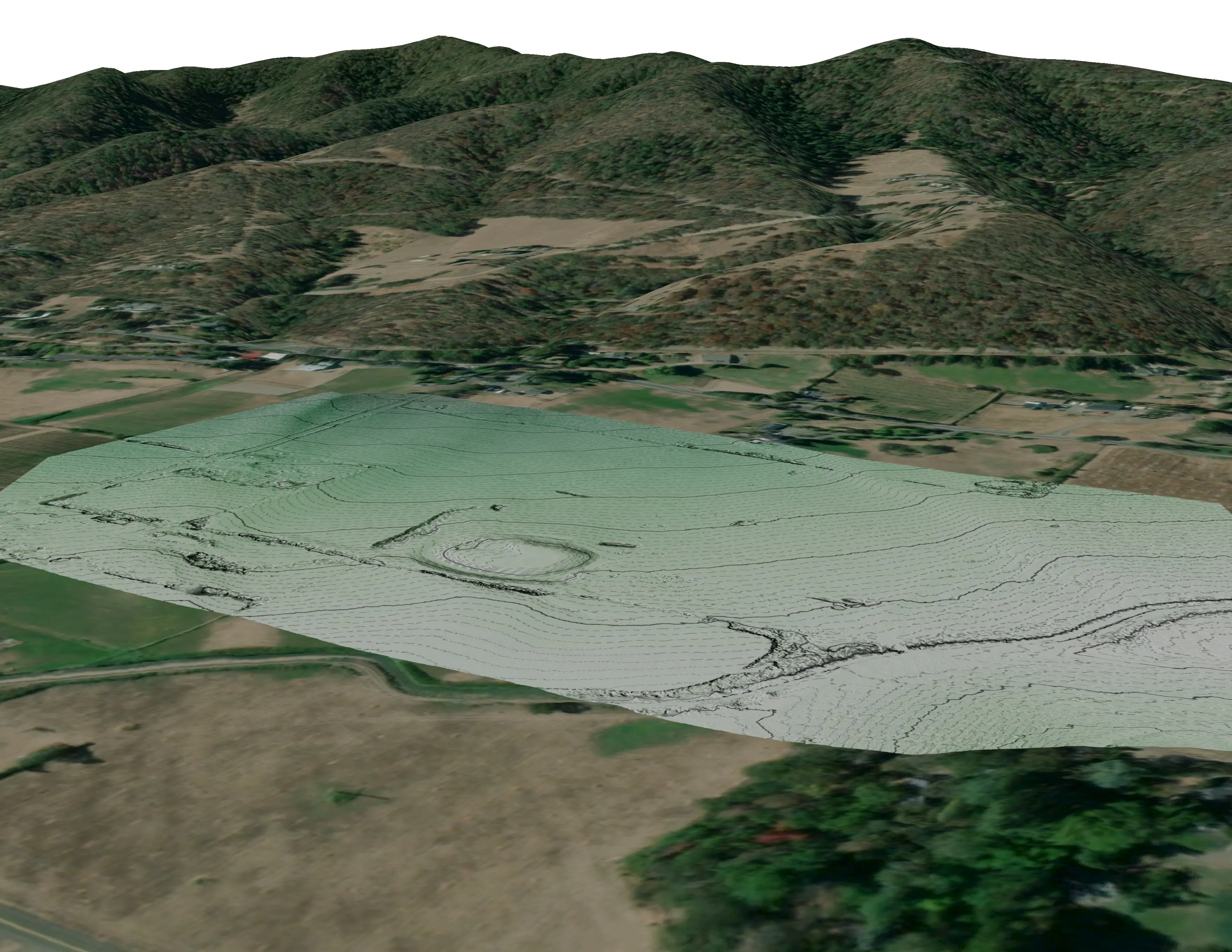
A farm plan on real ground
Plant Oregon with Oregon Urban Rural and Community Forestry, a tree nursery in development
Terrain, ponds, tree mounds, and a site plan drawn on a current ortho of the whole farm.
Read the caseThe record
Every project we have published
Forestry and trees
- Downed woody debris, measured from the air
- Finding every Oregon ash before the borer does
- At risk, declining, dieback, dead
- Post harvest monitoring for ODF
- A planting corridor through Phoenix, tree by tree
Rivers and habitat
- Riparian species and cold seeps on the Scott River
- Ten abandoned mines, bare earth under the chaparral
Wildfire fuels and planning
Night infrared on fires
- Night infrared on ODF incidents since 2019
- East Evans Creek, a season inside one fire
- Fielder Mountain, eleven nights as the heat went out
- Woodrat Mountain, from initial attack to the last check
- Interstate 5 at milepost 57, initial attack beside the freeway
- Tyee Ridge Complex
Terrain and site design
Farm planning
Sonoma County, after the fires.
A treated unit to measure, a fire scar to baseline, a vineyard block to plan or a park's canopy to count. Send the boundary and we will pair it with the next Mendocino trip.
Email info@roguerecon.net or call 808 298 6290.