

Ukiah, California
Where we flew ten mine sites under the chaparral.
In September 2025 we flew drone LiDAR over 779.4 acres of abandoned mine sites on Bureau of Land Management ground managed from the Ukiah Field Office, for Bat Conservation International, and delivered bare earth at a quarter metre checked against the public lidar to 0.320 m. Mendocino County is the one California county with a published case on this site.
The ground
Ukiah and Mendocino County and Lake County
Ukiah sits in the Russian River valley between the coast ranges, with Lake Mendocino above town, vineyards and pear orchards on the valley floor, and oak, chaparral and Douglas fir on every slope. West over the ridge is Anderson Valley, the redwood coast and Jackson Demonstration State Forest; east is Clear Lake and the Mendocino National Forest, where the 2018 Mendocino Complex and the 2020 August Complex were each the largest fire in the state's history when they burned. The mine sites we mapped are scattered through this country.
Who buys mapping here
- The BLM Ukiah Field Office and the Mendocino National Forest
- Bat Conservation International and the other conservation groups working the abandoned mines and caves
- City of Ukiah: Public Works, the Electric utility, Parks; Willits, Fort Bragg, Lakeport and Clearlake
- Mendocino County and Lake County: Planning, Public Works, Emergency Services, the county GIS
- Mendocino County Resource Conservation District and the Mendocino County Fire Safe Council; Ukiah Valley Fire Authority and CAL FIRE's Mendocino Unit
- The Pomo tribal governments of the Ukiah valley and Clear Lake and their environmental programs
- Jackson Demonstration State Forest, the Russian River and Eel River watershed groups, the Mendocino Land Trust
- Vineyards, pear orchards, cannabis farms and the timber owners of the coast ranges
- Pacific Gas and Electric's corridors through the county
Getting there
From Medford
About five hours from Medford, down Interstate 5 and across on Highway 20 or down 101 through the redwoods. We stage in Ukiah for a week at a time and reach the coast, the Mendocino National Forest and Lake County from it.
The public lidar
What exists, and what it misses
We know the public lidar here better than most: we checked our bare earth against it on 242 points across eight sites. It is good terrain data where it exists and it was flown before the complexes burned. Under dense chaparral and on the small features a mine lands inventory or a habitat inventory of bats and springs needs, a dense drone flight sees what the older, sparser data could not.
What we would fly
The lanes that fit Ukiah


Nearest work
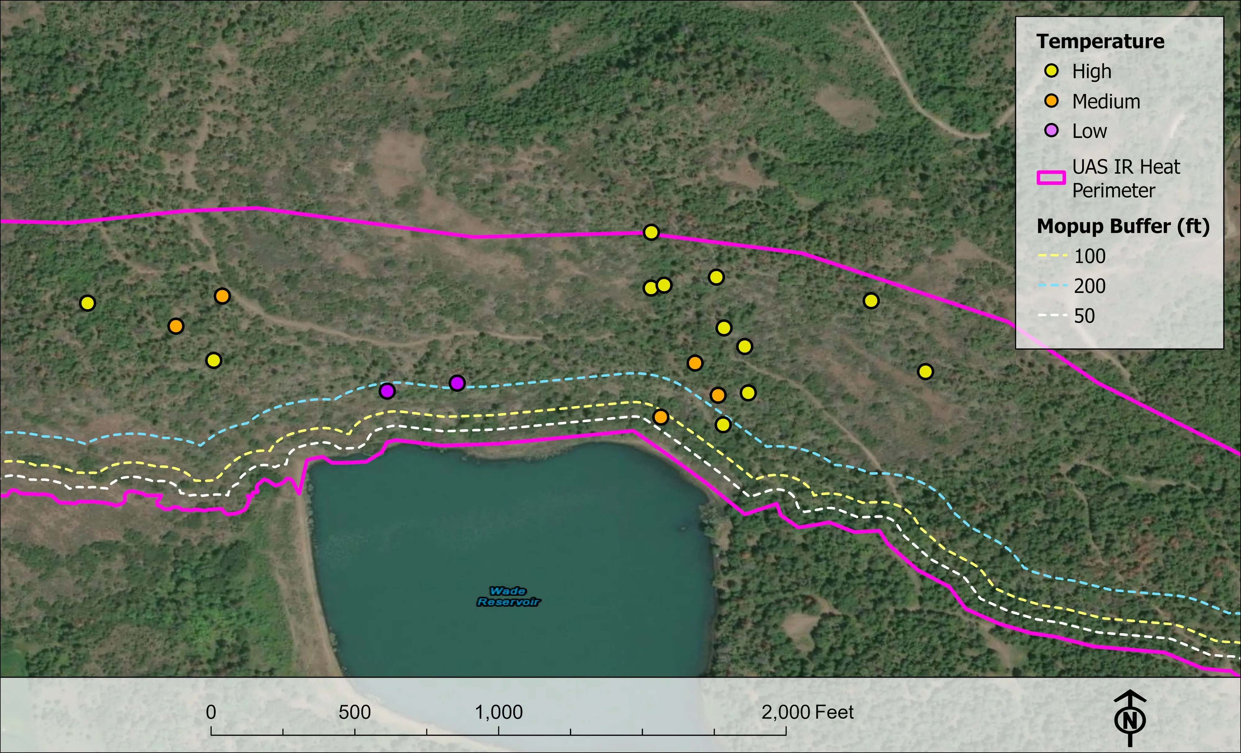
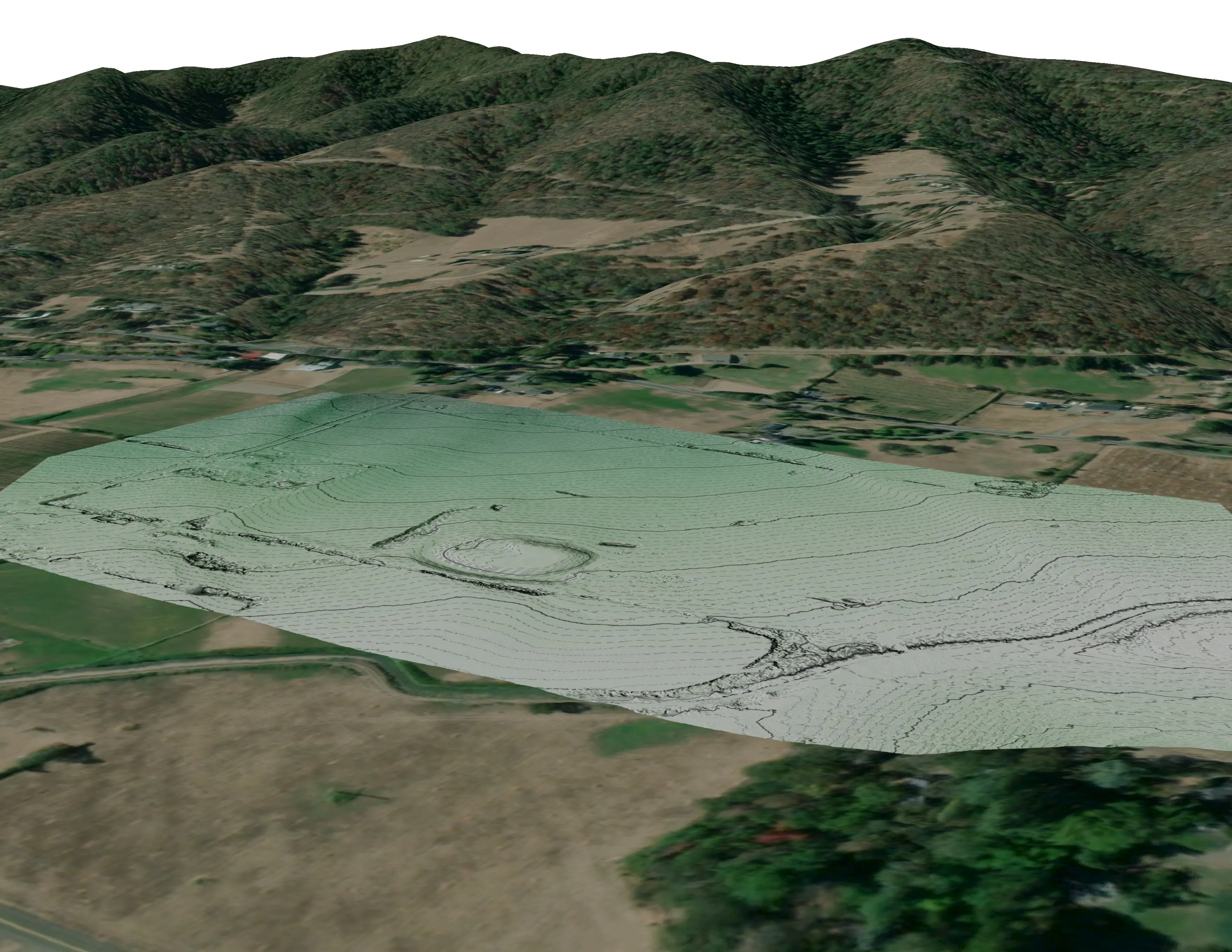
The mine sites themselves, a river corridor classified by species, and a watershed's conifers classed by health.
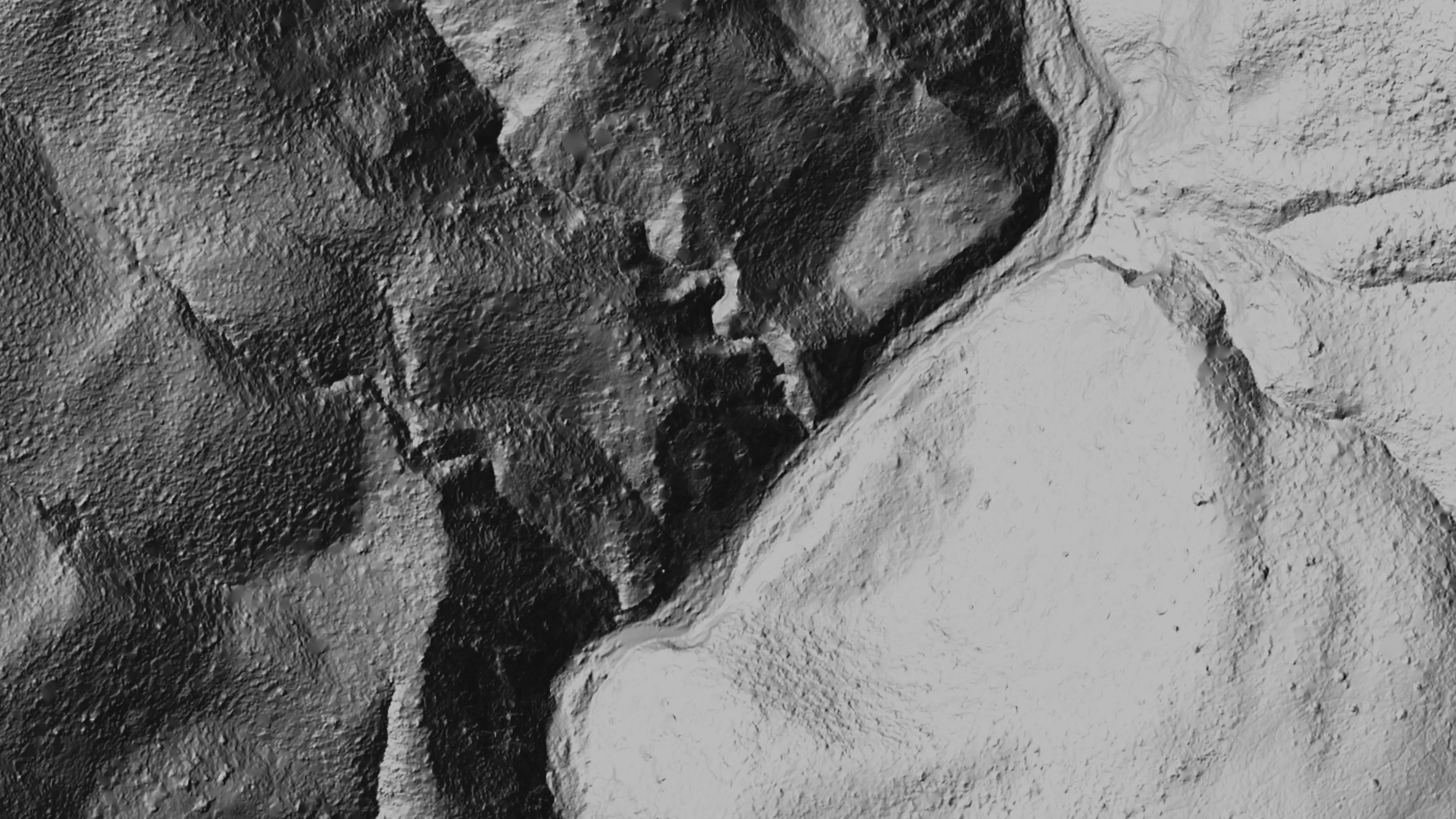
Ten abandoned mines, bare earth under the chaparral
Bat Conservation International, on Bureau of Land Management land, Ukiah Field Office
Bare earth, surface, and canopy height models over 779.4 acres of abandoned mine sites under steep chaparral, checked against the public LiDAR at 0.320 m RMSE.
Read the case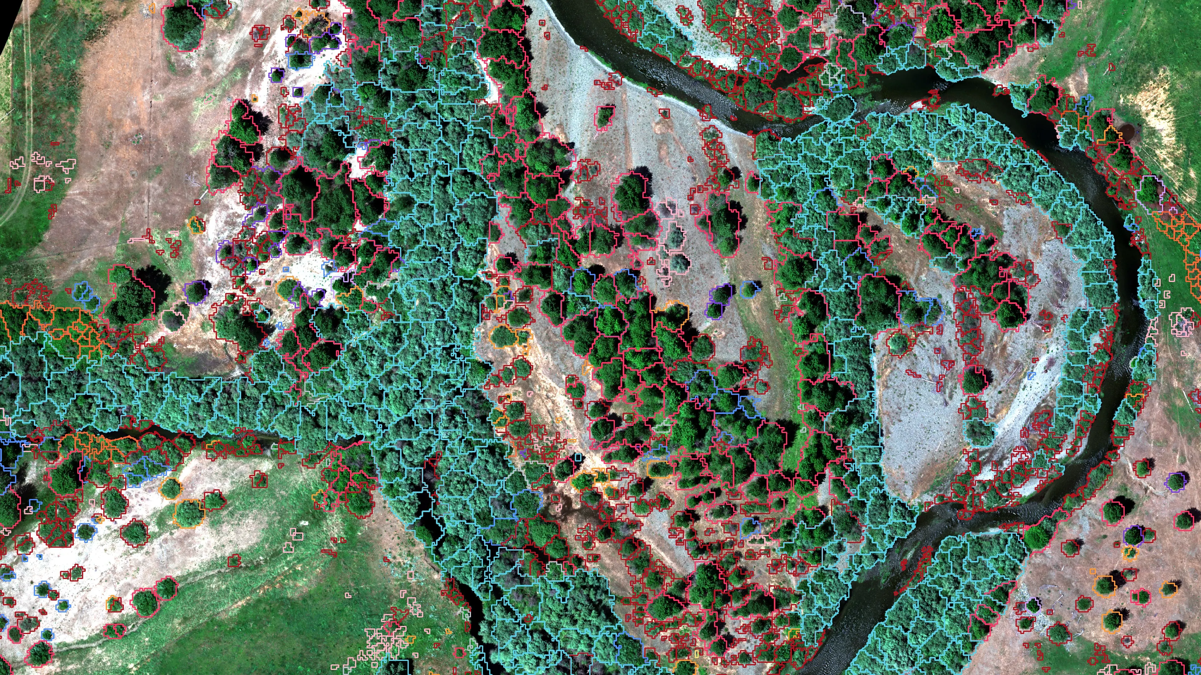
Riparian species and cold seeps on the Scott River
Cascade Stream Solutions, with a botanist leading field identification. We flew it as their subcontractor and reported to them.
Fourteen riparian species classified across 423 acres of river corridor, with thermal mapping that pointed to groundwater fed cold seeps.
Read the case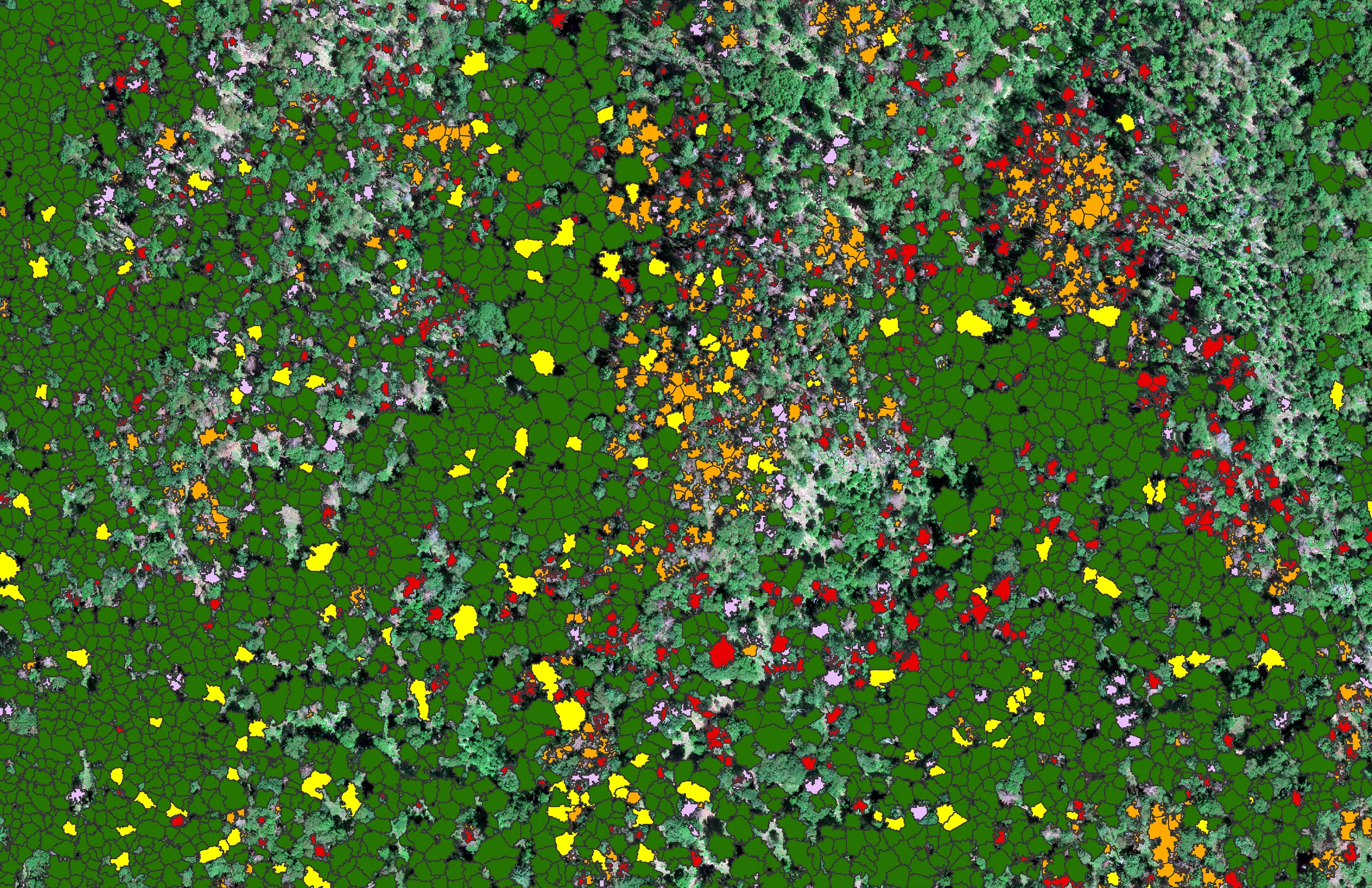
At risk, declining, dieback, dead
City of Ashland
About 30,000 Douglas fir crowns classed by health across the city's watershed lands, so the city could see the die off and act on it.
Read the caseThe record
Every project we have published
Forestry and trees
- Downed woody debris, measured from the air
- Finding every Oregon ash before the borer does
- At risk, declining, dieback, dead
- Post harvest monitoring for ODF
- A planting corridor through Phoenix, tree by tree
Rivers and habitat
- Riparian species and cold seeps on the Scott River
- Ten abandoned mines, bare earth under the chaparral
Wildfire fuels and planning
Night infrared on fires
- Night infrared on ODF incidents since 2019
- East Evans Creek, a season inside one fire
- Fielder Mountain, eleven nights as the heat went out
- Woodrat Mountain, from initial attack to the last check
- Interstate 5 at milepost 57, initial attack beside the freeway
- Tyee Ridge Complex
Terrain and site design
Farm planning
Mendocino and Lake counties, from the mine sites outward.
More sites for the inventory, a habitat question, a fuels planning area or a parcel in the hills. Send the ground and we will be back in Ukiah.
Email info@roguerecon.net or call 808 298 6290.