

Corvallis, Oregon
The forestry school's town, measured the way the school teaches.
Corvallis is where Oregon trains its foresters, and the ground around it, the McDonald Dunn research forest, the Marys River, the oak savanna remnants and the grass seed fields, is exactly the mix our forestry, riparian and farm planning flights were built for.
The ground
Corvallis and Benton County
The Willamette runs along the east edge of town and the Marys River comes in from the Coast Range on the west, past Oregon State University and its forests on the hills north of the city. Benton County keeps some of the valley's last oak savanna and wet prairie in its natural areas, and the Coast Range beyond is Douglas fir timber, much of it in research and industrial ownership. South and west the county is small farms, Christmas trees and vineyards.
Who buys mapping here
- City of Corvallis: Parks and Recreation, Public Works, the Urban Forestry program
- Benton County: Natural Areas and Parks, Emergency Management, Community Development
- Oregon State University: the College of Forestry, the research forests, campus grounds and the agricultural experiment stations
- Corvallis Fire Department and the rural districts in the foothills
- Marys River Watershed Council, Greenbelt Land Trust, Benton Soil and Water Conservation District
- Consumers Power and Pacific Power; the Siuslaw National Forest to the west
- Christmas tree growers, seed farms and vineyards planning drainage and plantings
Getting there
From Medford
About three hours and twenty minutes from Medford on Interstate 5 and Highway 34. We pair Corvallis with Albany and Eugene on one trip north.
The public lidar
What exists, and what it misses
Benton County is well covered by the state consortium's lidar, and the university's own researchers have flown parts of the research forests at higher density than almost anywhere in the state. The gap is the same as elsewhere: current, crown by crown species and health, a post harvest unit measured the week after the operator leaves, a riparian reach classified while the field crew's samples are fresh.
What we would fly
The lanes that fit Corvallis
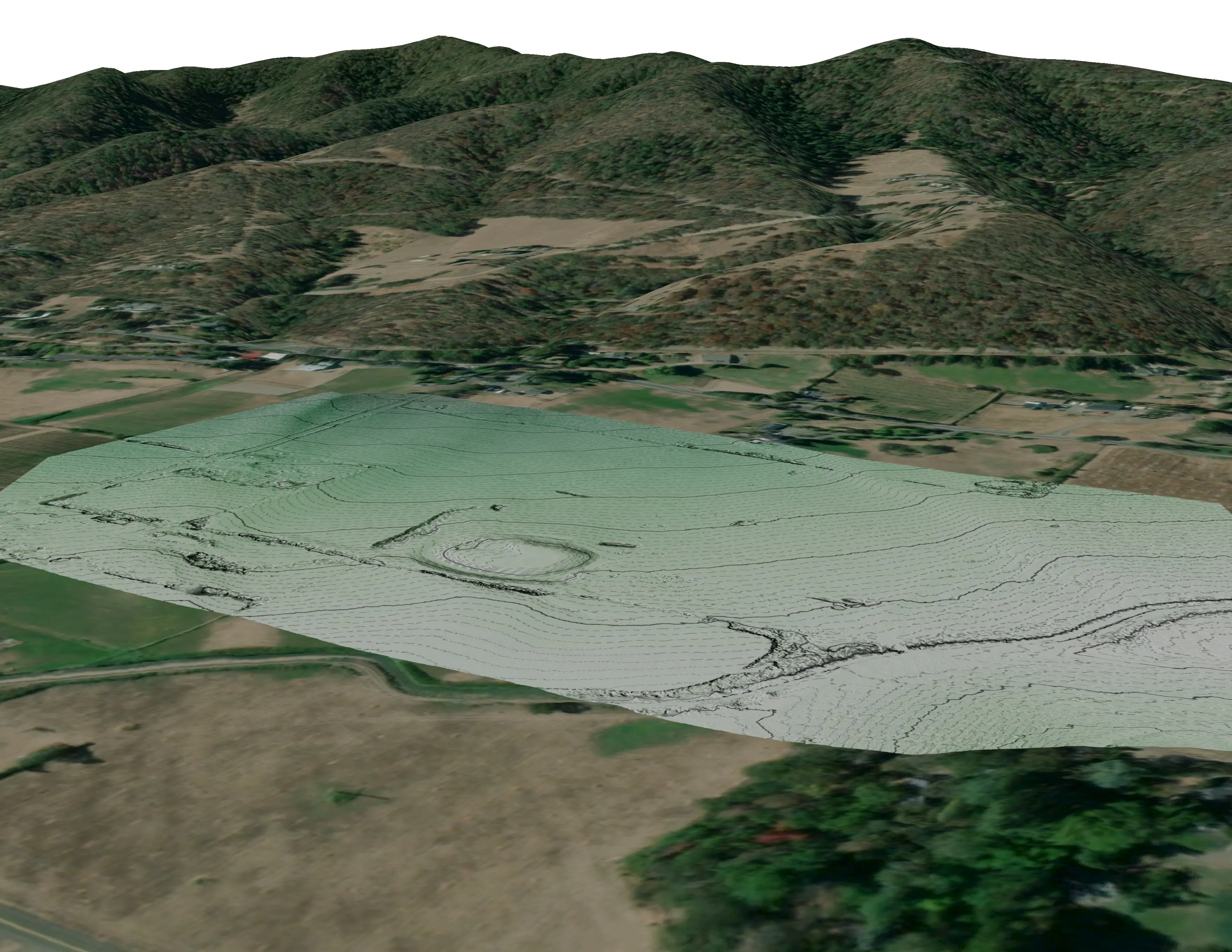

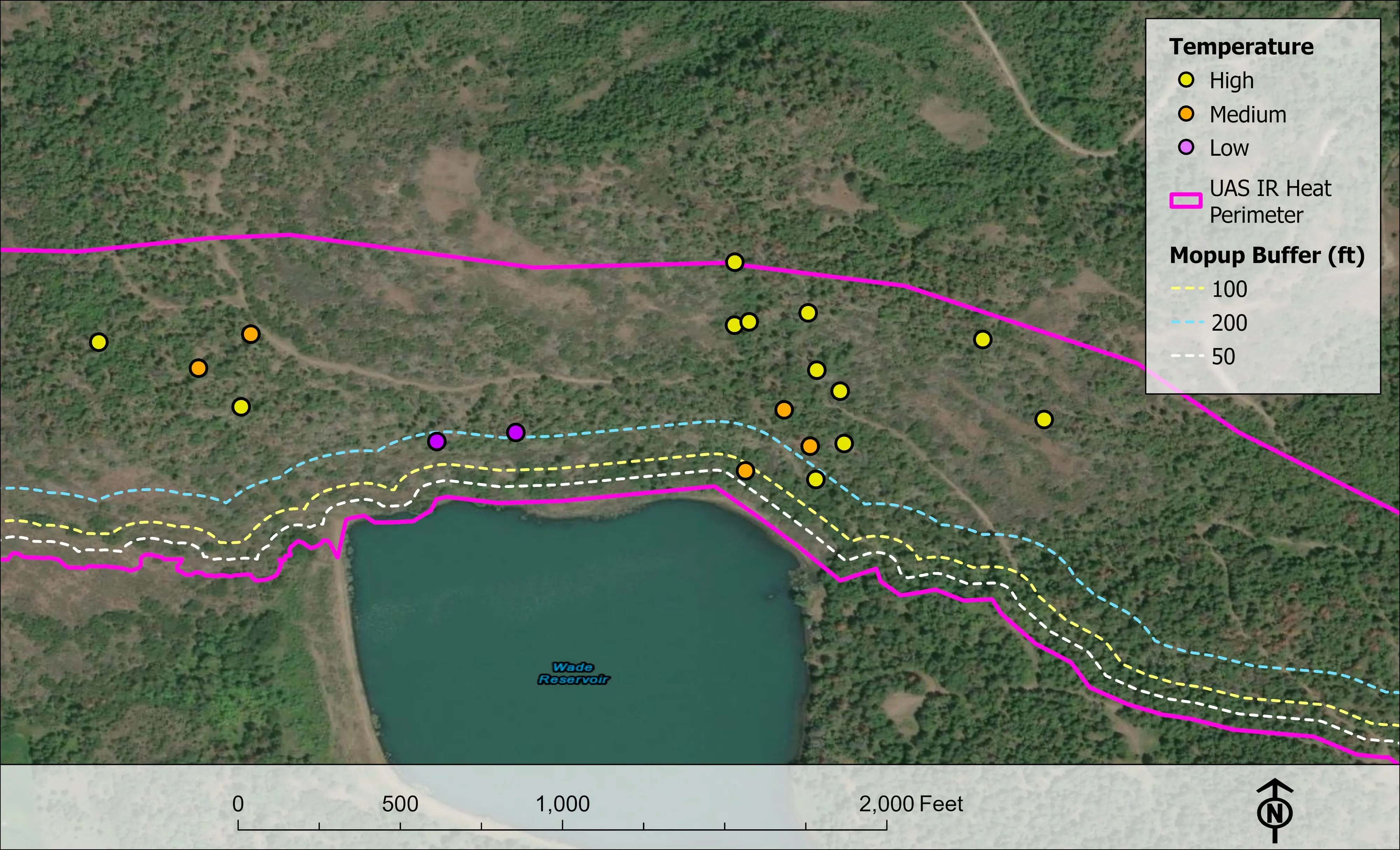
Nearest work
No Benton County job yet. The nearest proof is two post harvest assessments for the Oregon Department of Forestry and the Eugene ash inventory, forty minutes south.
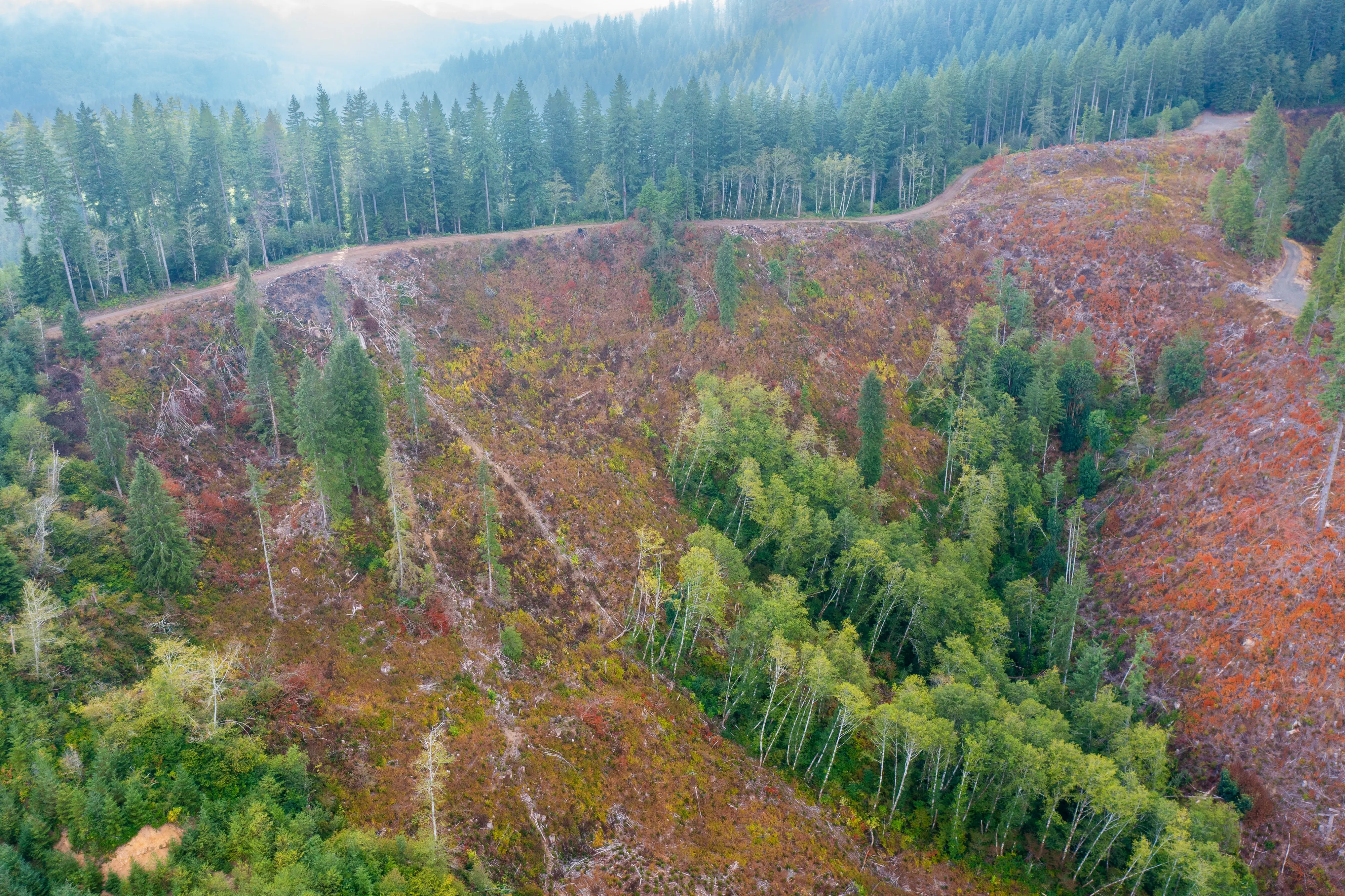
Post harvest monitoring for ODF
Oregon Department of Forestry
The 2023 ODF unit on video and in a StoryMap, with how the LiDAR, multispectral, and RGB products were built.
Read the case
Downed woody debris, measured from the air
Oregon Department of Forestry
Every log on a post harvest unit delineated, measured, and classed by decay, with standing trees identified to species.
Read the case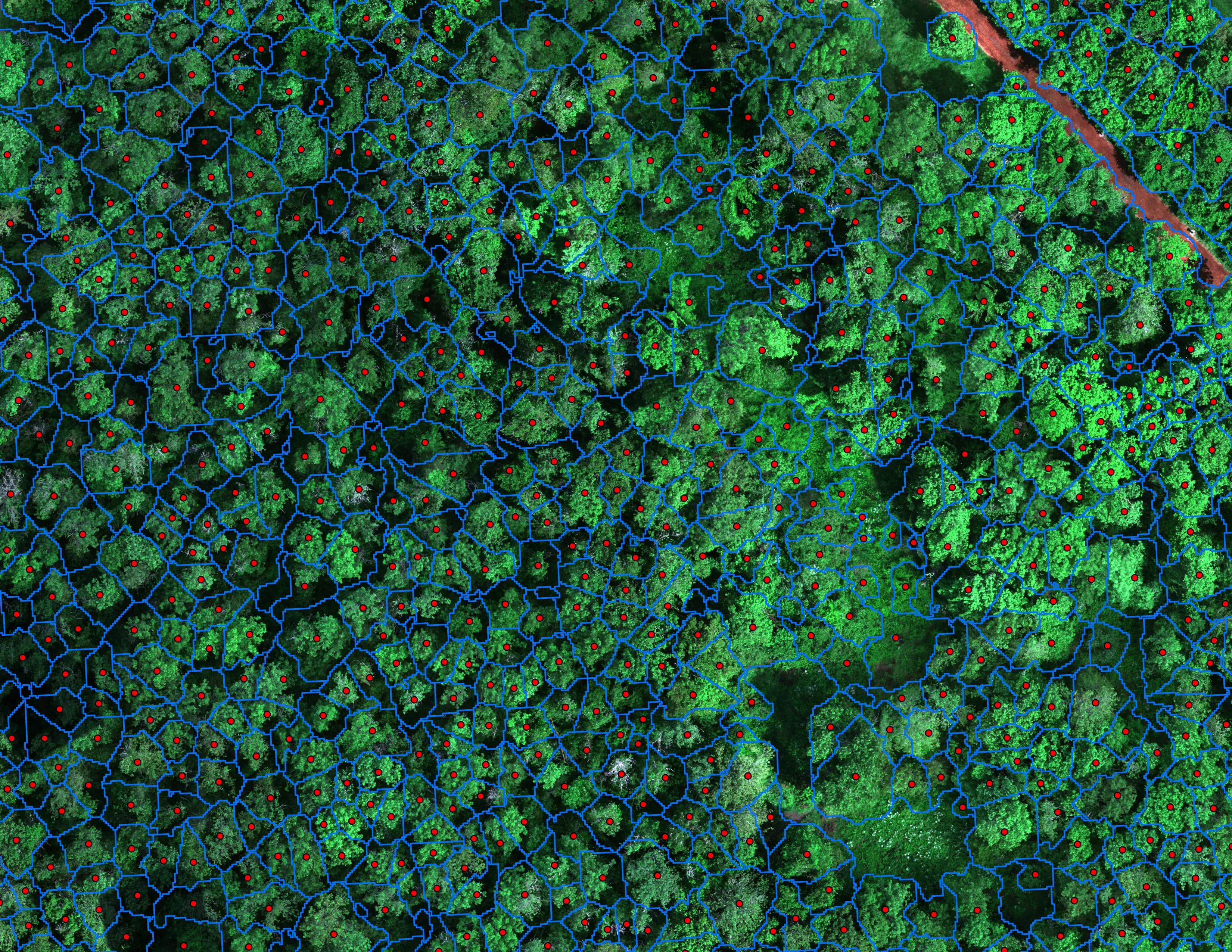
Finding every Oregon ash before the borer does
City of Eugene, Parks and Open Space
12,632 crowns classified across 390 acres of riparian canopy. 5,261 of them Oregon ash.
Read the caseThe record
Every project we have published
Forestry and trees
- Downed woody debris, measured from the air
- Finding every Oregon ash before the borer does
- At risk, declining, dieback, dead
- Post harvest monitoring for ODF
- A planting corridor through Phoenix, tree by tree
Rivers and habitat
- Riparian species and cold seeps on the Scott River
- Ten abandoned mines, bare earth under the chaparral
Wildfire fuels and planning
Night infrared on fires
- Night infrared on ODF incidents since 2019
- East Evans Creek, a season inside one fire
- Fielder Mountain, eleven nights as the heat went out
- Woodrat Mountain, from initial attack to the last check
- Interstate 5 at milepost 57, initial attack beside the freeway
- Tyee Ridge Complex
Terrain and site design
Farm planning
Corvallis: the stand, the reach, the campus, the field.
Tell us which, and when the data is needed, and we will fold it into the next trip up the valley.
Email info@roguerecon.net or call 808 298 6290.