

Eugene, Oregon
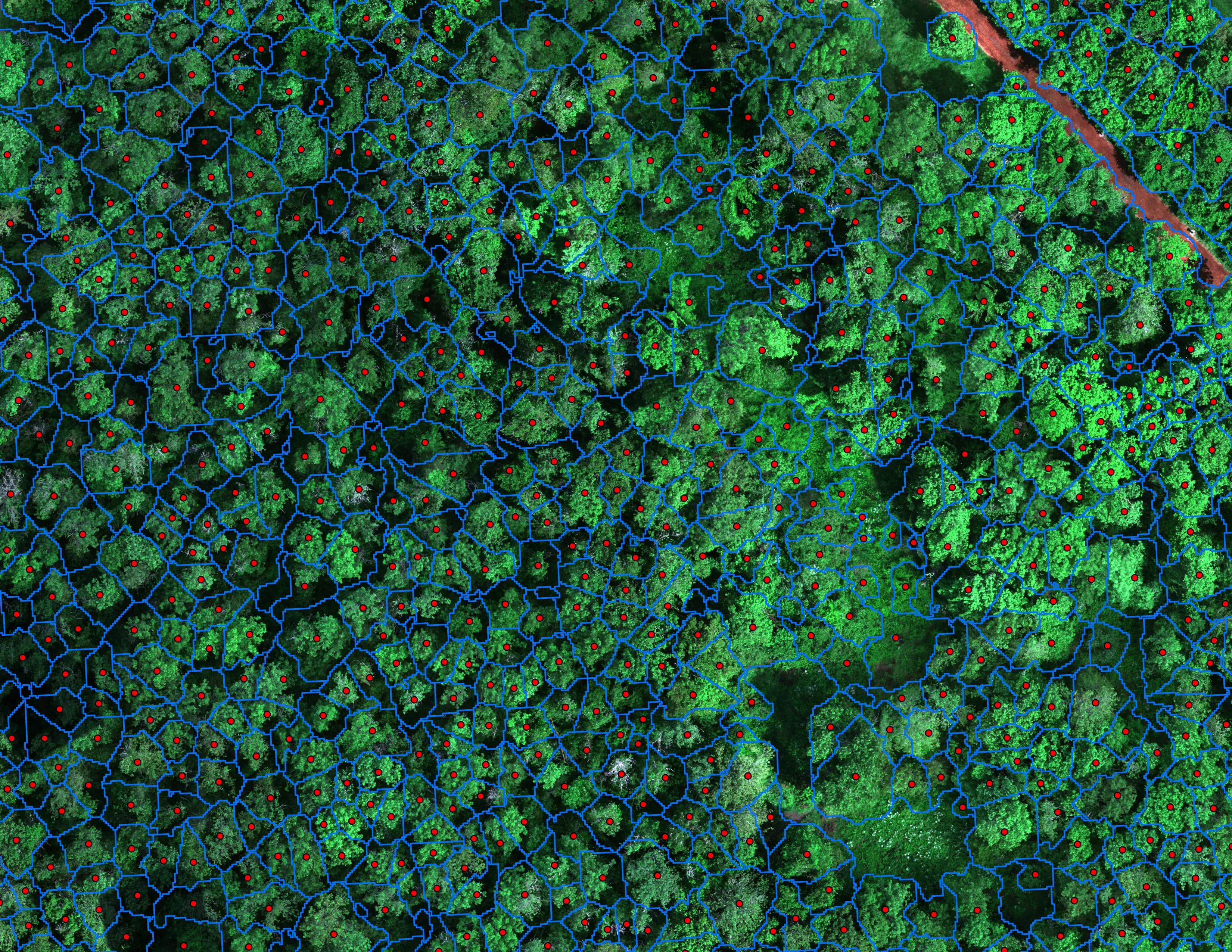
Every Oregon ash in Eugene, found before the borer.
For the City of Eugene we mapped 390 acres across 13 designated areas and classified 12,632 crowns, 5,261 of them Oregon ash, at 85 percent accuracy on crowns the model never saw, delivered as hosted products the city's GIS and forestry staff work from. Lane County is where the tree inventory work on this site was proved.
The ground
Eugene and Lane County
Eugene and Springfield sit where the McKenzie meets the Willamette at the south end of the valley, with the Coast Range timber to the west and the Cascades up the McKenzie to the east. The city's urban forest is one of the state's largest, with Oregon ash along every creek and slough, which is why the ash question came here first. The 2020 Holiday Farm fire ran down the McKenzie corridor, and the watershed that feeds the city's water starts there.
Who buys mapping here
- City of Eugene: Parks and Open Space, Urban Forestry, Public Works, the GIS group
- City of Springfield and the Willamalane Park and Recreation District
- Lane County: Parks, Public Works, Emergency Management
- Eugene Water and Electric Board and its McKenzie watershed program; Springfield Utility Board
- Lane Council of Governments, which holds the regional GIS
- McKenzie Watershed Council, Long Tom Watershed Council, McKenzie River Trust
- University of Oregon and its campus grounds
- Eugene Springfield Fire and Lane Fire Authority
- The timber owners and the mills in the Coast Range and up the McKenzie
Getting there
From Medford
About two and three quarter hours up Interstate 5 from Medford. A day trip for a site, a few nights for a citywide flight.
The public lidar
What exists, and what it misses
Lane County has some of the best public lidar in Oregon, flown more than once by the state consortium, and the county and the cities use it well for terrain and floodplain work. What it does not carry is this year's canopy: species, health, crown by crown, in October when the ash gives itself away. That is the flight we add on top of it.
What we would fly
The lanes that fit Eugene


The record
Every project we have published
Forestry and trees
- Downed woody debris, measured from the air
- Finding every Oregon ash before the borer does
- At risk, declining, dieback, dead
- Post harvest monitoring for ODF
- A planting corridor through Phoenix, tree by tree
Rivers and habitat
- Riparian species and cold seeps on the Scott River
- Ten abandoned mines, bare earth under the chaparral
Wildfire fuels and planning
Night infrared on fires
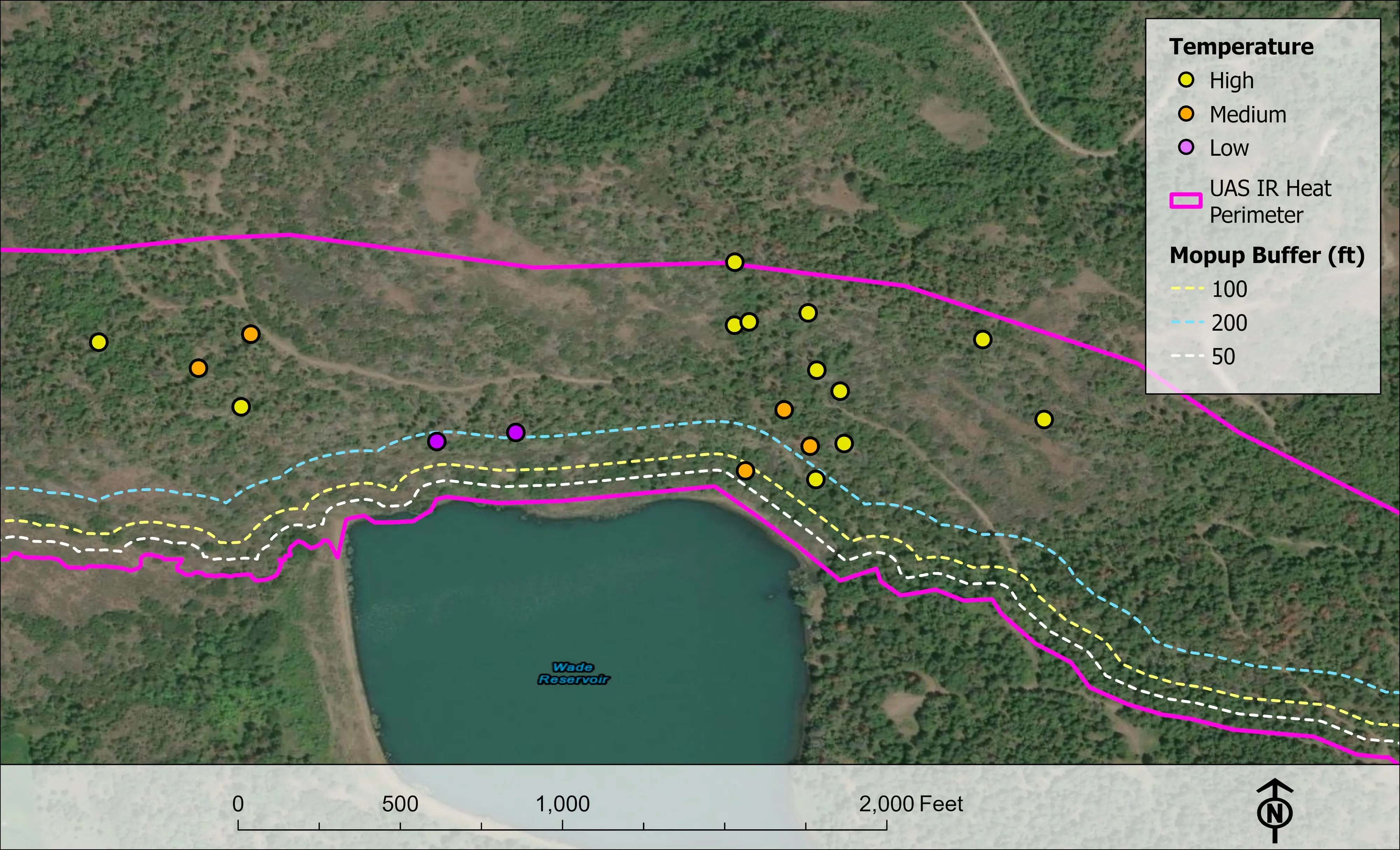
- Night infrared on ODF incidents since 2019
- East Evans Creek, a season inside one fire
- Fielder Mountain, eleven nights as the heat went out
- Woodrat Mountain, from initial attack to the last check
- Interstate 5 at milepost 57, initial attack beside the freeway
- Tyee Ridge Complex
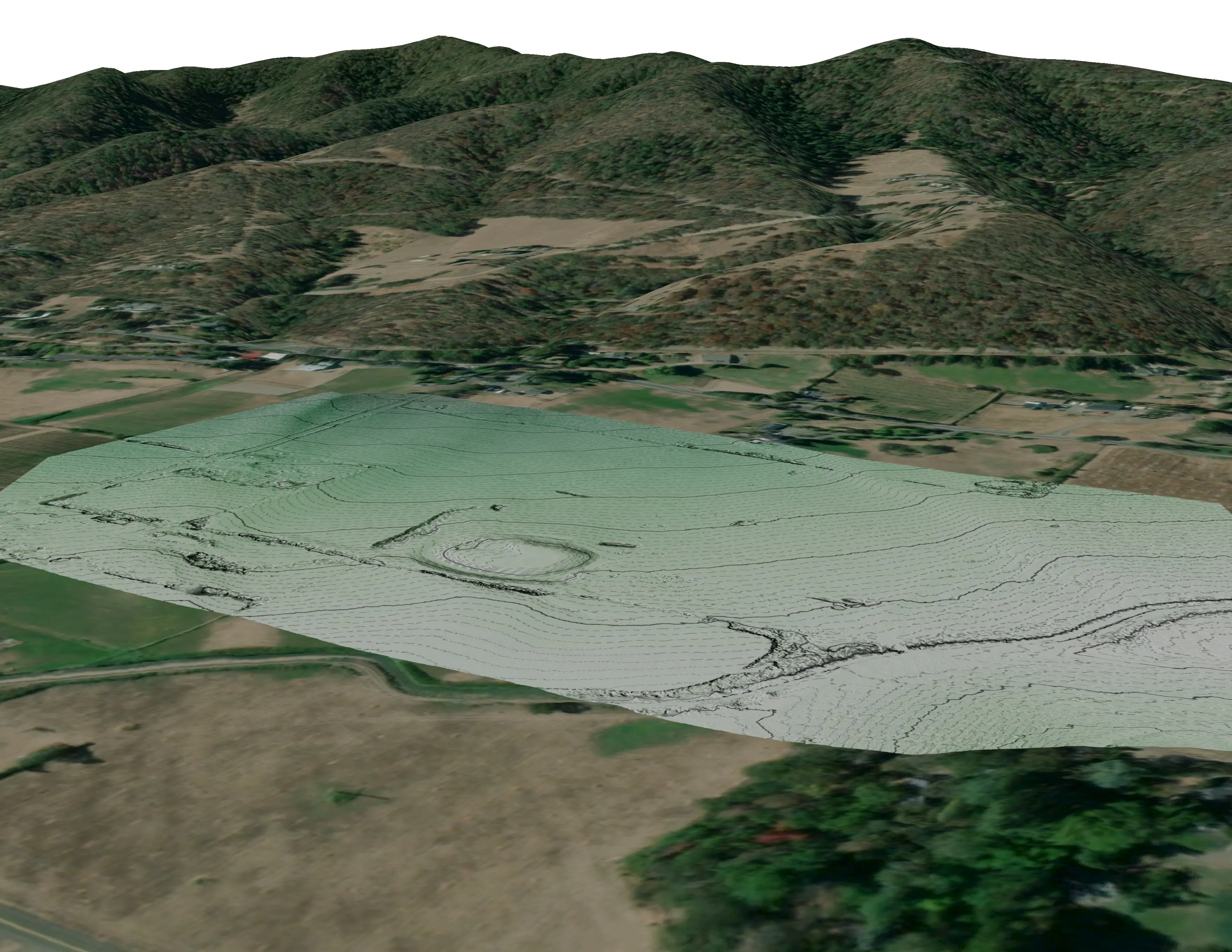
Terrain and site design
Farm planning
The next Eugene flight, or the first one in Springfield.
The other designated areas, a park district inventory, a canopy number for a grant, or the McKenzie corridor after the fire. Send the boundary and the question.
Email info@roguerecon.net or call 808 298 6290.