

Grants Pass, Oregon
Half an hour down the freeway, and on two of the summer's fires.
In 2026 we flew night infrared on the Interstate 5 fire at milepost 57 as it ran beside the freeway south of town, and on Woodrat Mountain in the Applegate. Josephine County is the next valley over from our base, and the work here is fire, timber and the river.
The ground
Grants Pass and Josephine County
Grants Pass sits where the Rogue River leaves the valley for the canyon toward Hellgate and the coast. South and west are the Applegate and the Illinois Valley, serpentine country with its own plants and its own fire behaviour, running up to the Kalmiopsis. The county is mostly forest, much of it BLM, with rural homes scattered through it on long driveways, which is the defensible space problem in its purest form.
Who buys mapping here
- City of Grants Pass: Public Works, Parks, the GIS and planning groups
- Josephine County: Emergency Management, Forestry, Public Works
- Grants Pass Fire Rescue, Rural Metro Fire, Illinois Valley Fire District, and ODF's Southwest Oregon District
- Applegate Partnership and Watershed Council, Rogue Basin Partnership, Illinois Valley Soil and Water Conservation District
- The BLM Grants Pass Interagency Office and the Rogue River Siskiyou National Forest
- Pacific Power and the cooperatives serving the Illinois Valley
- Timber owners and the mills, vineyards on the river benches, and rural property buyers wanting to see the ground before they build
Getting there
From Medford
About thirty minutes from Medford on Interstate 5. Same day for a site visit, same night for an incident order.
The public lidar
What exists, and what it misses
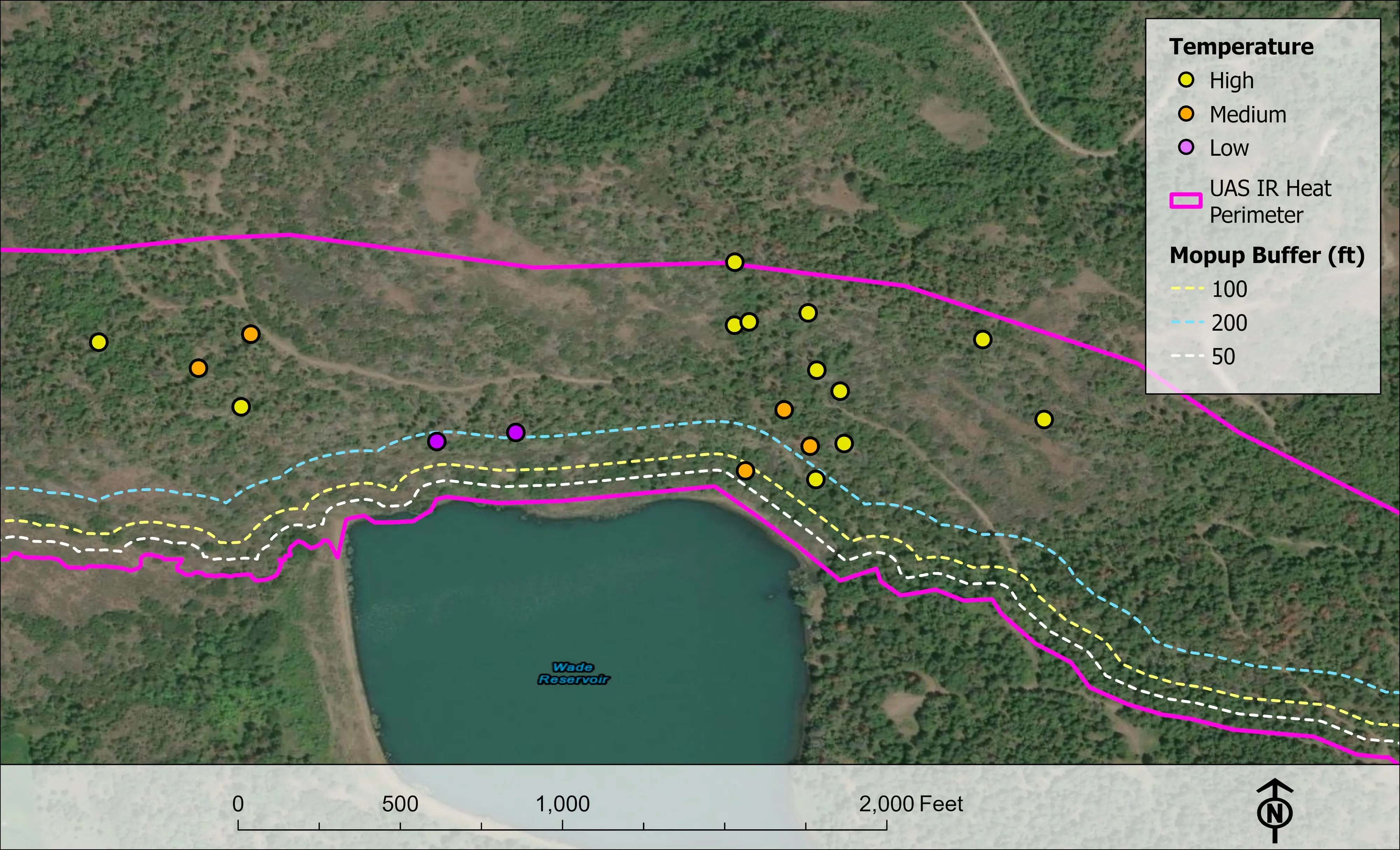
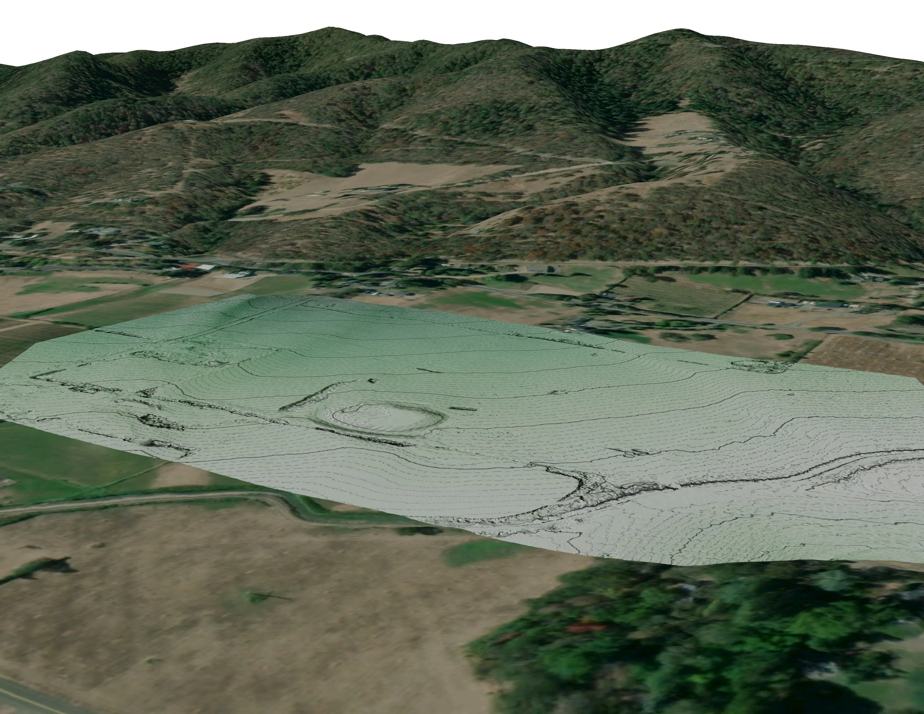
Public lidar reaches parts of Josephine County through the state program and the federal 3DEP effort, flown for terrain and floodplain work. For a fire district ranking structures, a watershed council planning a reach of the Applegate, or a landowner thinning a stand, it is too old and too coarse to see this year's canopy, and we fly the gap.
What we would fly
The lanes that fit Grants Pass


Nearest work
The 2026 fires we flew within an hour of Grants Pass.
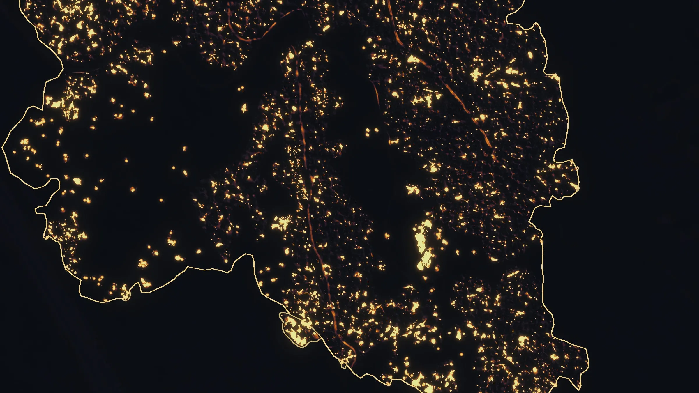
Interstate 5 at milepost 57, initial attack beside the freeway
Oregon Department of Forestry
Initial attack beside Interstate 5 near Grants Pass in August 2026. A perimeter map the first evening, then two flights most nights, five nights in all.
Read the case
Woodrat Mountain, from initial attack to the last check
Oregon Department of Forestry
Three nights across two weeks on one fire in the Applegate Valley in August 2026. Initial attack, a mopup map, and a last look for heat that found almost none.
Read the case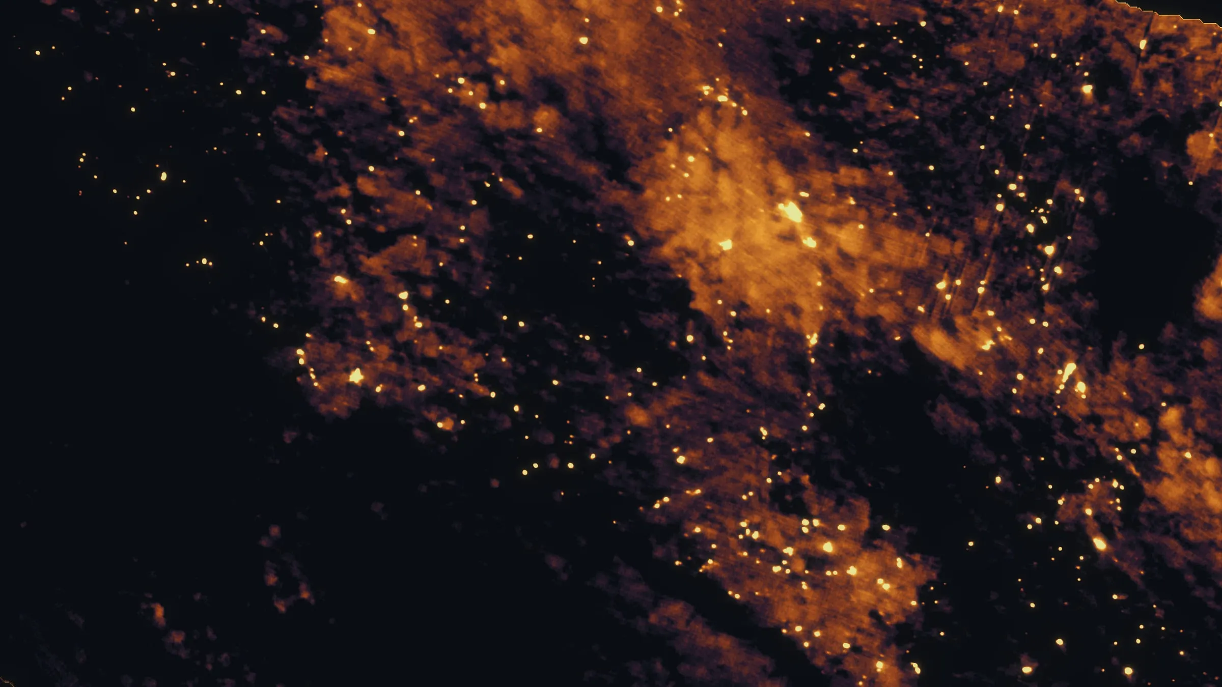
East Evans Creek, a season inside one fire
Oregon Department of Forestry
Fifteen nights on one incident across three weeks, eight divisions, and a heat map in the GIS specialist's hands before the morning briefing.
Read the caseThe record
Every project we have published
Forestry and trees
- Downed woody debris, measured from the air
- Finding every Oregon ash before the borer does
- At risk, declining, dieback, dead
- Post harvest monitoring for ODF
- A planting corridor through Phoenix, tree by tree
Rivers and habitat
- Riparian species and cold seeps on the Scott River
- Ten abandoned mines, bare earth under the chaparral
Wildfire fuels and planning
Night infrared on fires
- Night infrared on ODF incidents since 2019
- East Evans Creek, a season inside one fire
- Fielder Mountain, eleven nights as the heat went out
- Woodrat Mountain, from initial attack to the last check
- Interstate 5 at milepost 57, initial attack beside the freeway
- Tyee Ridge Complex
Terrain and site design
Farm planning
Josephine County is a short drive. Say the word.
A parcel, a reach of river, a fire district's planning area or an incident order: send the ground and the question and we will answer with the flight.
Email info@roguerecon.net or call 808 298 6290.