

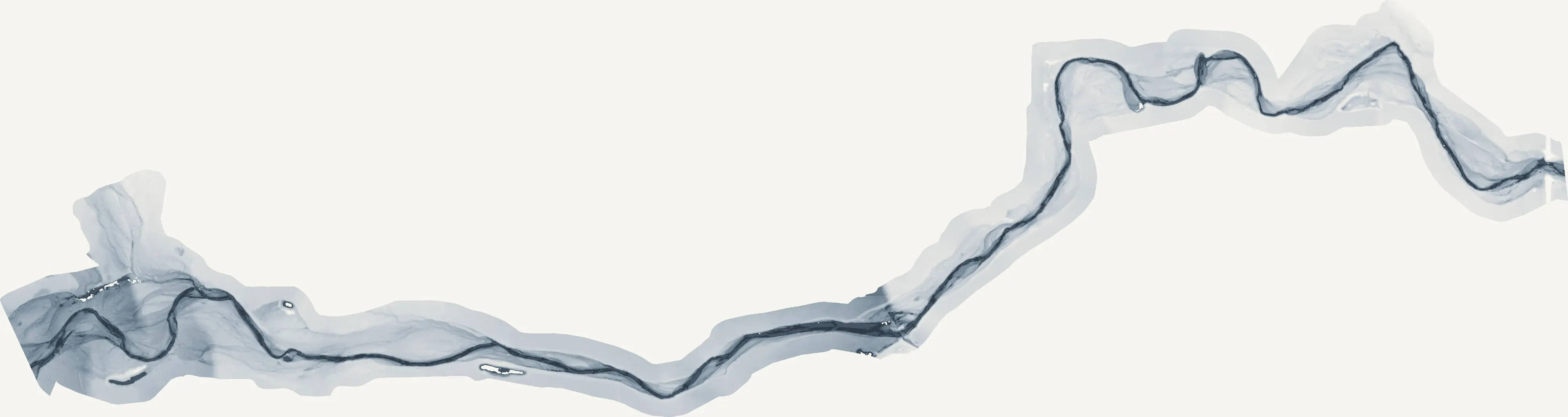
Gresham, Oregon
East county: a creek, a corridor, the buttes and the mountain behind them.
Gresham is where the metro meets the Sandy River and the foothills of Mount Hood. Johnson Creek and the Springwater Corridor run through it, the buttes stand over it, and east Multnomah County's farms, nurseries and fire districts begin at its edge.
The ground
Gresham and Multnomah County
Johnson Creek crosses the city from east to west with the Springwater Corridor trail beside it, and the volcanic buttes, Gresham Butte, Walters Hill, Powell Butte at the Portland line, rise out of the flat ground with forest on their sides. East of town the land opens into berry farms and nurseries toward Troutdale and the Sandy River, and beyond that the Columbia Gorge and the Mount Hood National Forest, where the 2017 Eagle Creek fire burned the Gorge above Troutdale and the 2020 Riverside fire ran through Clackamas County to the south.
Who buys mapping here
- City of Gresham: Urban Design and Planning, Environmental Services, Parks, the GIS group; Troutdale, Fairview and Wood Village
- Multnomah County: Emergency Management, Transportation, Land Use Planning
- Johnson Creek Watershed Council and the East Multnomah Soil and Water Conservation District
- Gresham Fire and Emergency Services and the Corbett and Sandy districts east of town
- Portland General Electric, whose lines and the Bull Run corridor pass through
- Mount Hood Community College and the Mount Hood National Forest's Zigzag and Columbia Gorge districts
- Berry farms and nurseries on the east county ground, and the developers on the buttes' lower slopes
Getting there
From Medford
Four and a half hours up the freeway, or an hour in the air to Portland International, which is fifteen minutes from Gresham. It pairs with Portland on one trip.
The public lidar
What exists, and what it misses
The metro's public lidar covers Gresham and the county keeps good floodplain mapping along Johnson Creek from it. The buttes and the creek corridor are where the questions are finer than that data: which trees on the slope are dying, how high the canopy stands over the trail, what the restoration plantings along the creek have done since they went in.
What we would fly
The lanes that fit Gresham


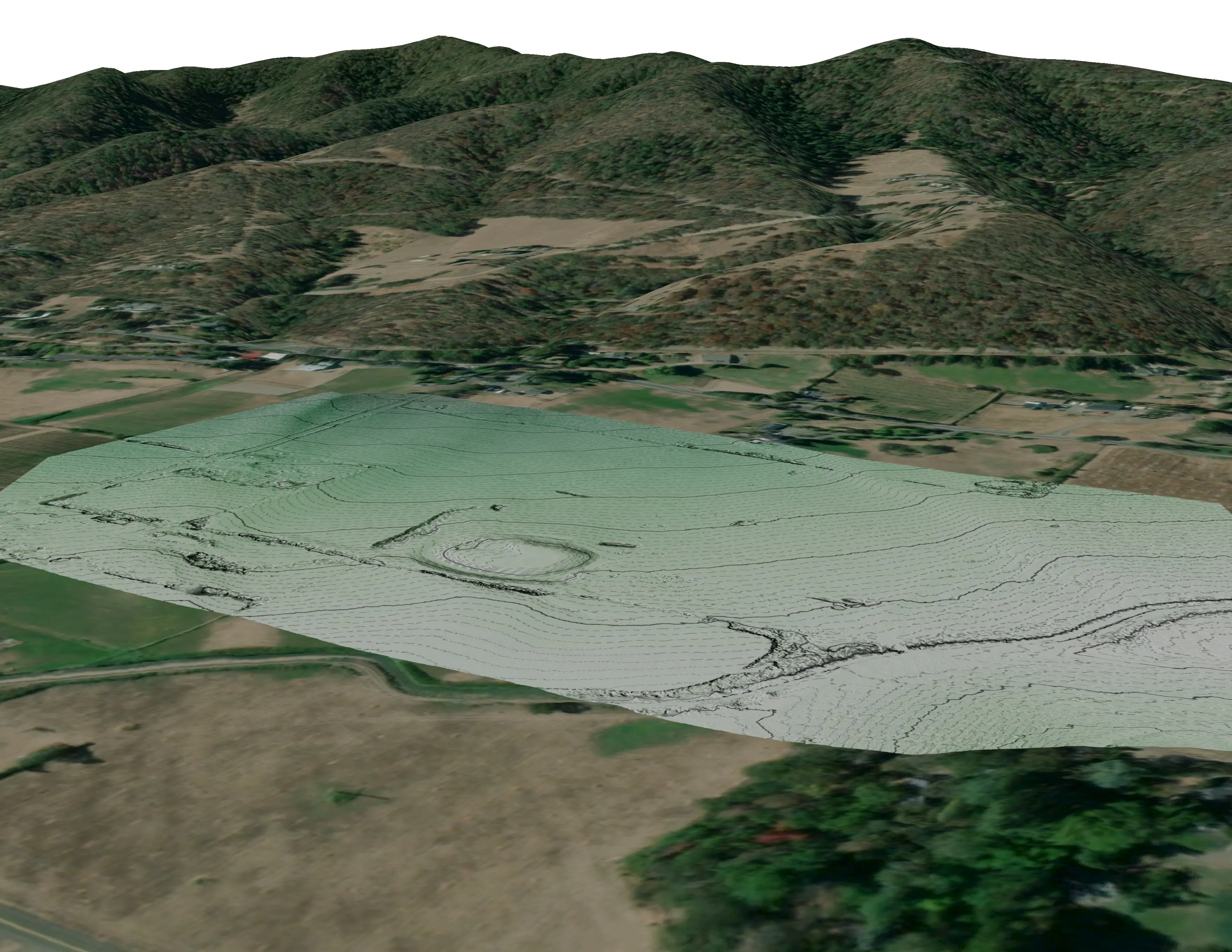
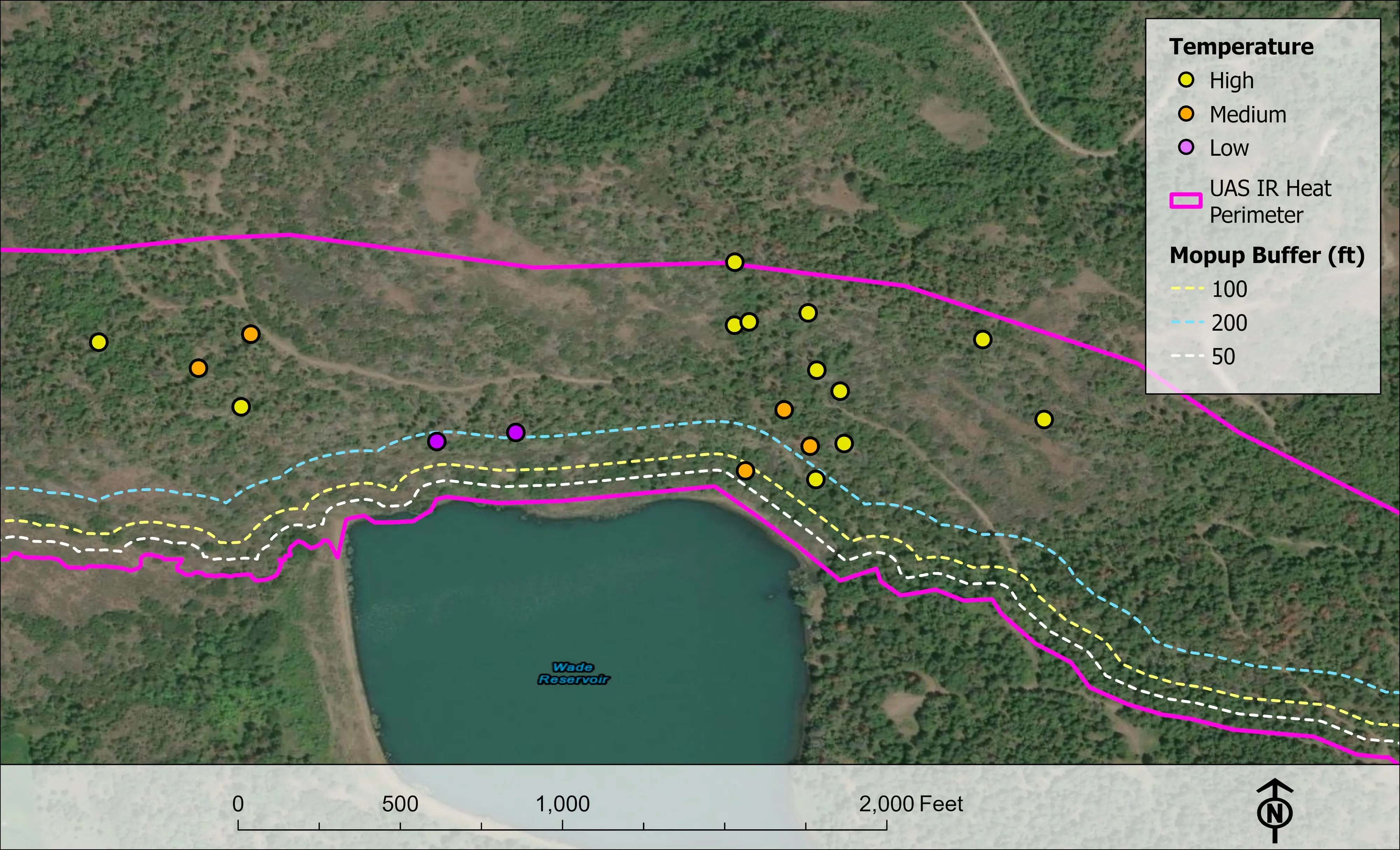
Nearest work
No east county job yet. The nearest proof is a river corridor classified by species, the Eugene ash inventory, and a restoration corridor counted tree by tree.
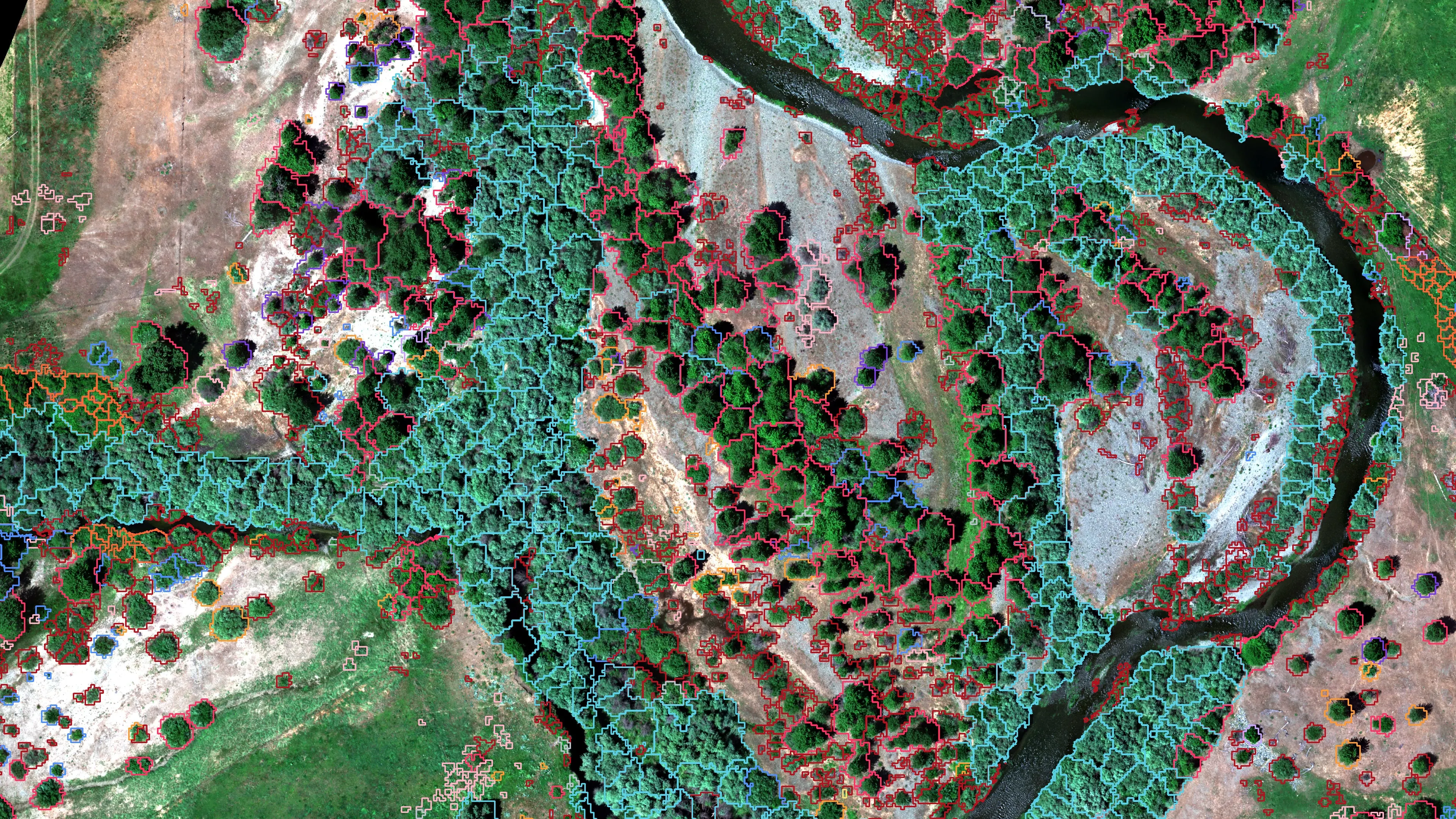
Riparian species and cold seeps on the Scott River
Cascade Stream Solutions, with a botanist leading field identification. We flew it as their subcontractor and reported to them.
Fourteen riparian species classified across 423 acres of river corridor, with thermal mapping that pointed to groundwater fed cold seeps.
Read the case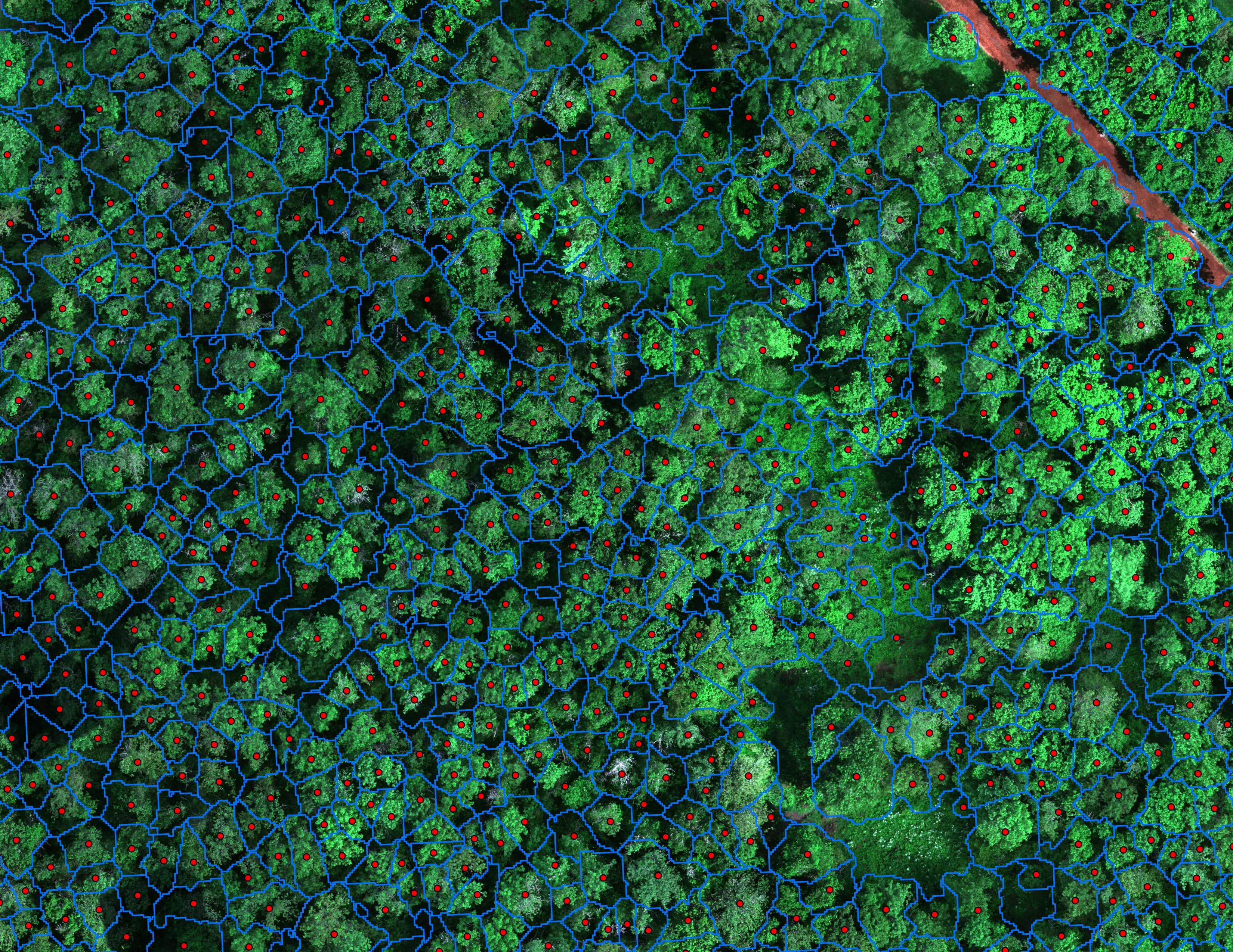
Finding every Oregon ash before the borer does
City of Eugene, Parks and Open Space
12,632 crowns classified across 390 acres of riparian canopy. 5,261 of them Oregon ash.
Read the case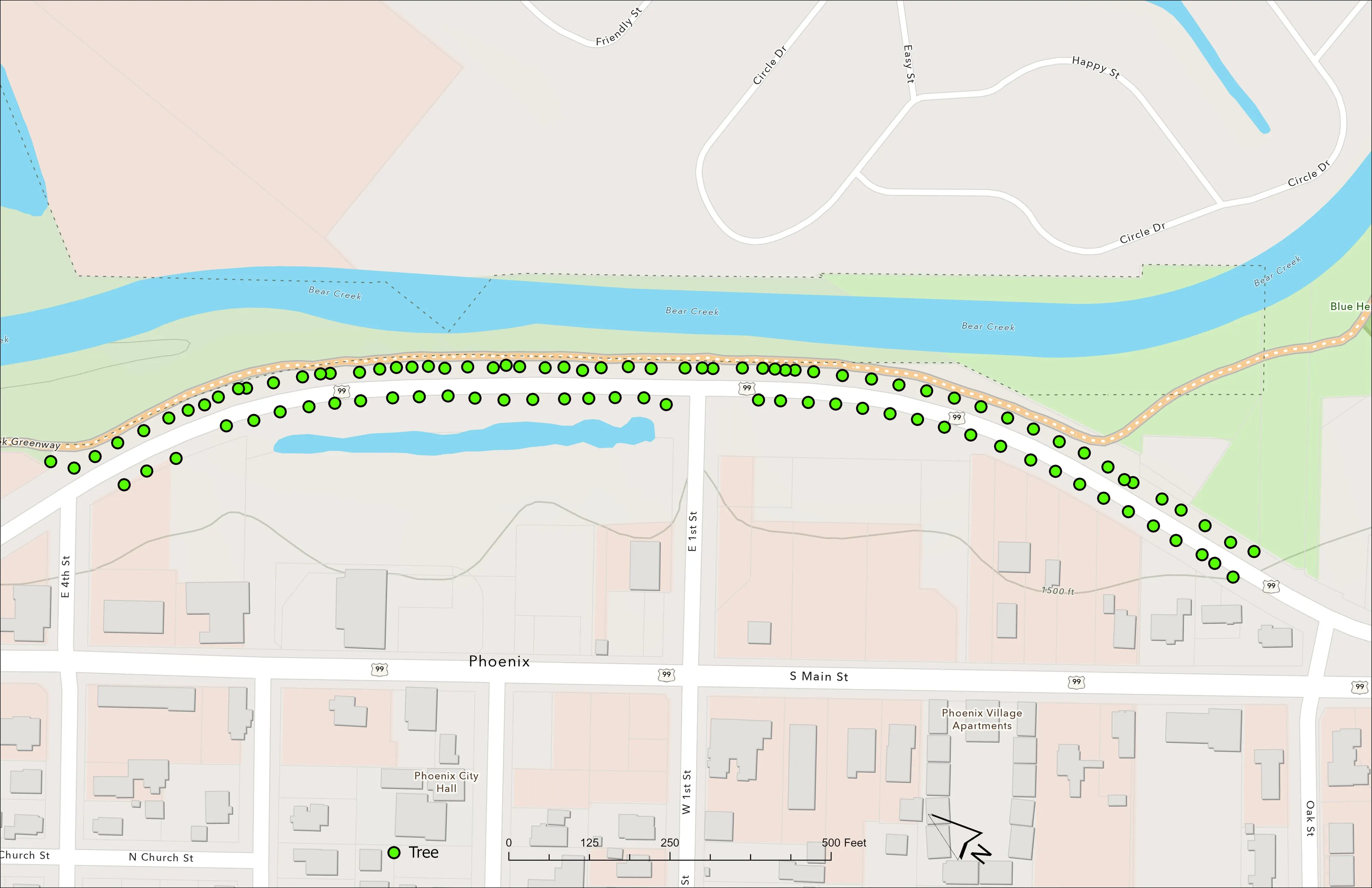
A planting corridor through Phoenix, tree by tree
City of Phoenix
The year one record for 98 trees the city planted where the Almeda fire burned through Phoenix, from drone LiDAR and RGB flown 65 days after planting.
Read the caseThe record
Every project we have published
Forestry and trees
- Downed woody debris, measured from the air
- Finding every Oregon ash before the borer does
- At risk, declining, dieback, dead
- Post harvest monitoring for ODF
- A planting corridor through Phoenix, tree by tree
Rivers and habitat
- Riparian species and cold seeps on the Scott River
- Ten abandoned mines, bare earth under the chaparral
Wildfire fuels and planning
Night infrared on fires
- Night infrared on ODF incidents since 2019
- East Evans Creek, a season inside one fire
- Fielder Mountain, eleven nights as the heat went out
- Woodrat Mountain, from initial attack to the last check
- Interstate 5 at milepost 57, initial attack beside the freeway
- Tyee Ridge Complex
Terrain and site design
Farm planning
Gresham, the creek and the buttes.
A canopy count for the city, a restoration reach for the council, or a slope the fire district worries about. Send the boundary and we will add it to the Portland trip.
Email info@roguerecon.net or call 808 298 6290.