

Klamath Falls, Oregon
The basin: lake, marsh, irrigated ground and the pine above it.
Klamath Falls is ninety minutes over the Cascades from our base, and the basin around it asks for every lane we fly: night infrared on the summer's fires, forest health in the ponderosa, water and drainage on the irrigated ground, and terrain for a town growing against the hills.
The ground
Klamath Falls and Klamath County
The town sits at the foot of Upper Klamath Lake, with the Klamath Project's canals running south to Tule Lake and the refuges across the state line. East and north the basin rises into ponderosa and lodgepole on the Fremont Winema National Forest, where the 2021 Bootleg fire ran across more than four hundred thousand acres. The Klamath Tribes, the irrigators, the refuges and the fire districts all work the same water and the same fuels.
Who buys mapping here
- City of Klamath Falls: Public Works, Parks, the GIS group
- Klamath County: Emergency Management, Public Works, Planning
- Klamath County Fire District 1 and the rural districts; the Klamath Falls Interagency Fire Center partners
- The Fremont Winema National Forest and the BLM Lakeview District's Klamath Falls office
- The Klamath Tribes and their natural resources programs
- The Klamath Project irrigation districts and the Bureau of Reclamation's basin office
- Klamath Watershed Partnership and the Klamath Soil and Water Conservation District
- Pacific Power's basin lines; Oregon Institute of Technology and Sky Lakes Medical Center grounds
- Ranchers and the potato, alfalfa and grain operations on the project
Getting there
From Medford
About an hour and a half from Medford over Highway 140 past Lake of the Woods. A day trip in summer; a motel in a snow year.
The public lidar
What exists, and what it misses
Parts of the basin have lidar from state and federal flights made for the lake, the project works and the forest; large stretches of the county do not. For a fire district ranking structures, a district planning a drain, or a stand owner watching for beetle kill, a current flight of the ground in question is the practical answer.
What we would fly
The lanes that fit Klamath Falls


Nearest work
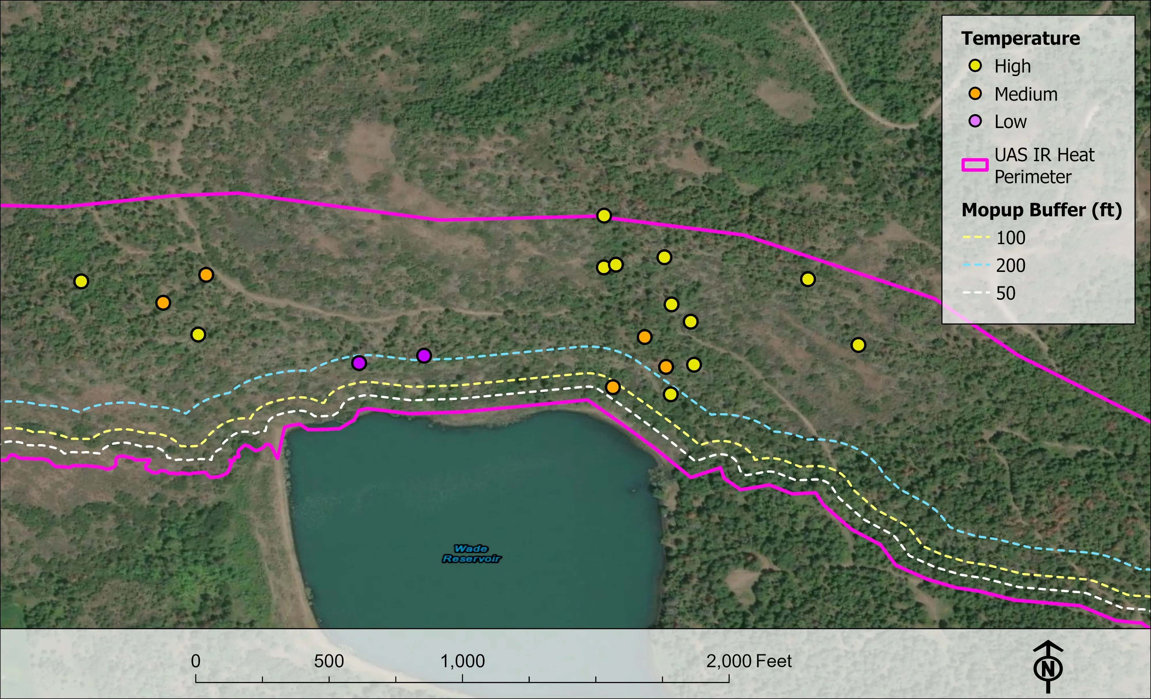
Nothing published in Klamath County yet; the closest work is a nursery planned on drone LiDAR terrain, an incident flown night after night in 2026, and the Ashland fuels data.
A farm plan on real ground
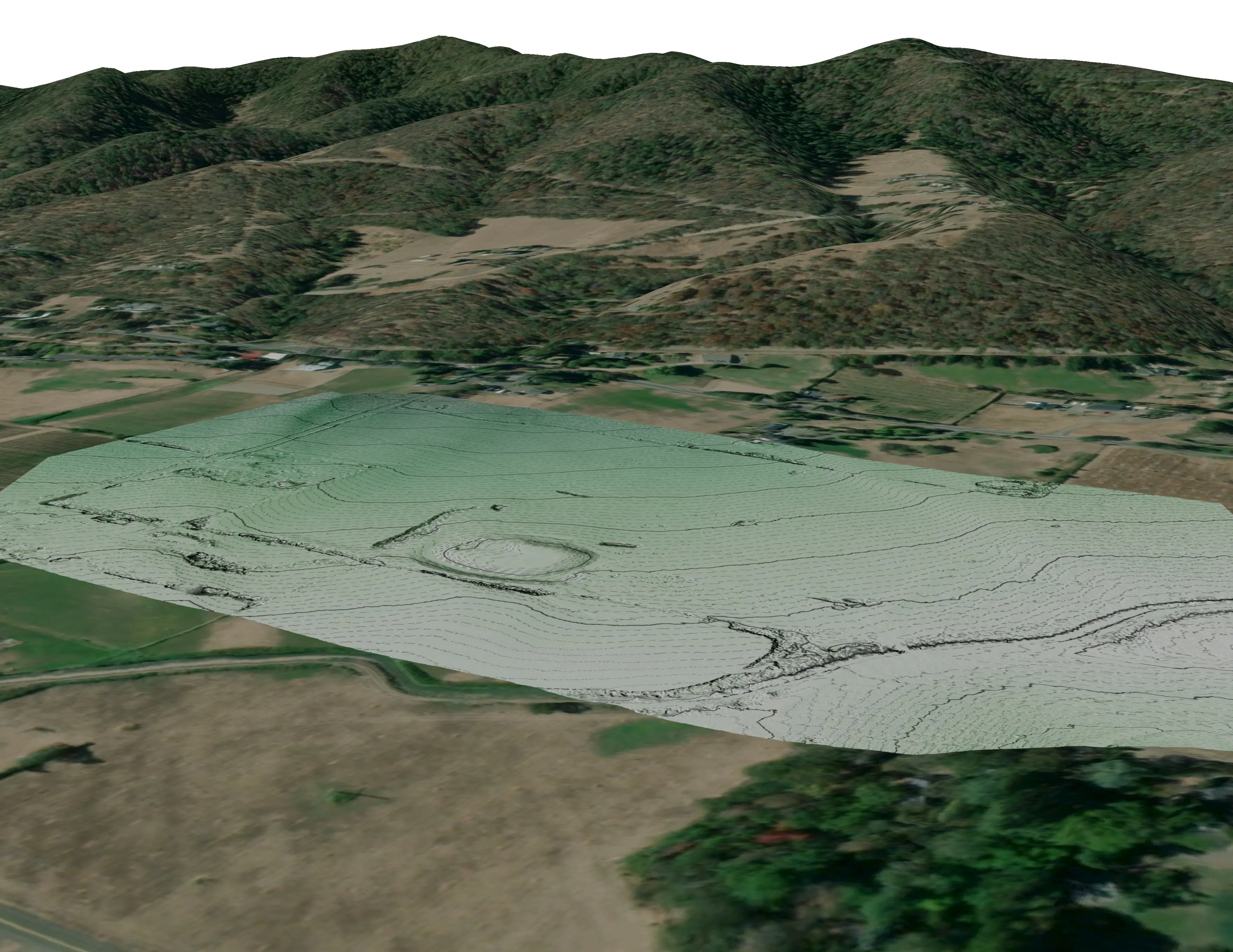
Plant Oregon with Oregon Urban Rural and Community Forestry, a tree nursery in development
Terrain, ponds, tree mounds, and a site plan drawn on a current ortho of the whole farm.
Read the case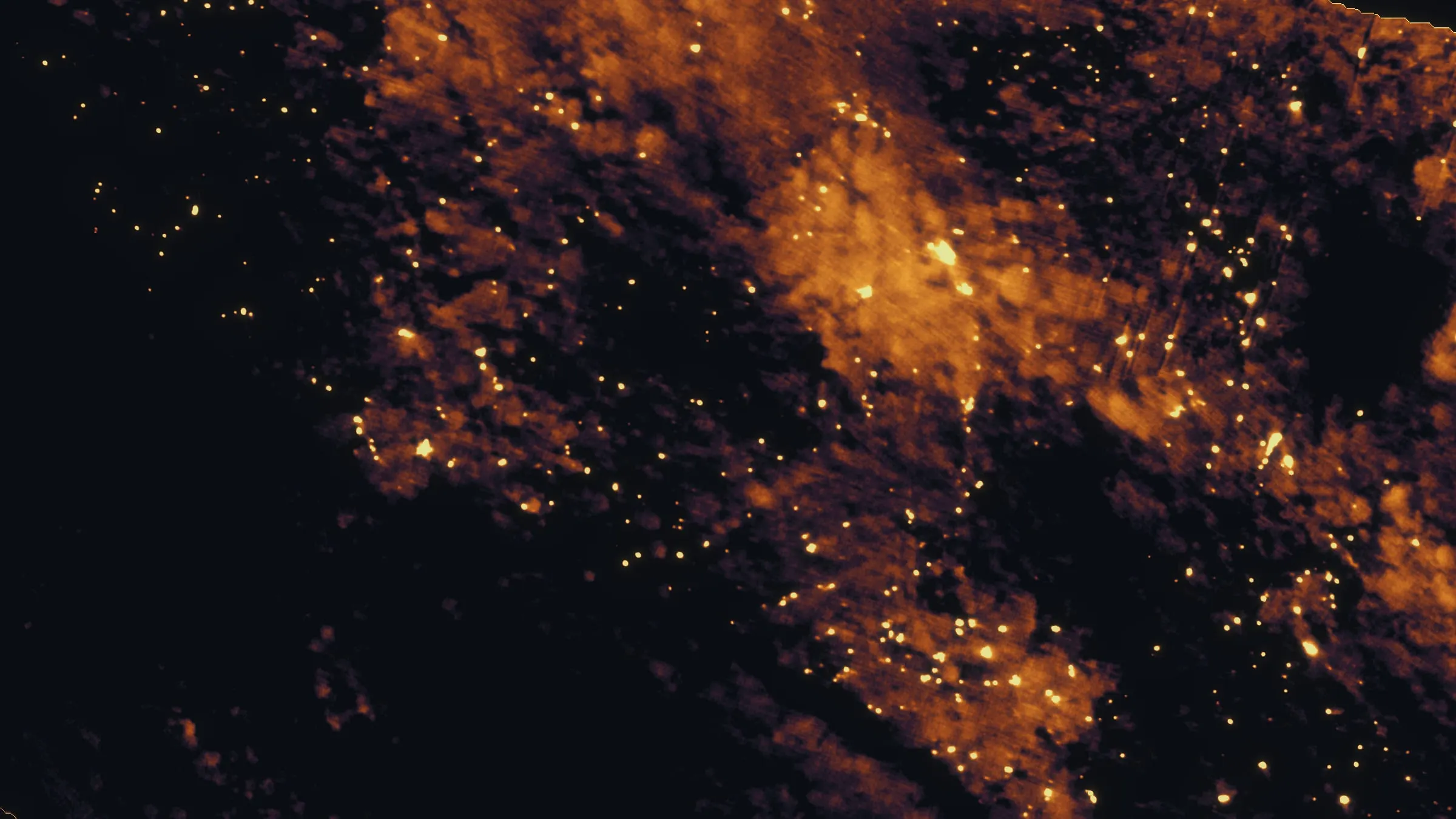
East Evans Creek, a season inside one fire
Oregon Department of Forestry
Fifteen nights on one incident across three weeks, eight divisions, and a heat map in the GIS specialist's hands before the morning briefing.
Read the case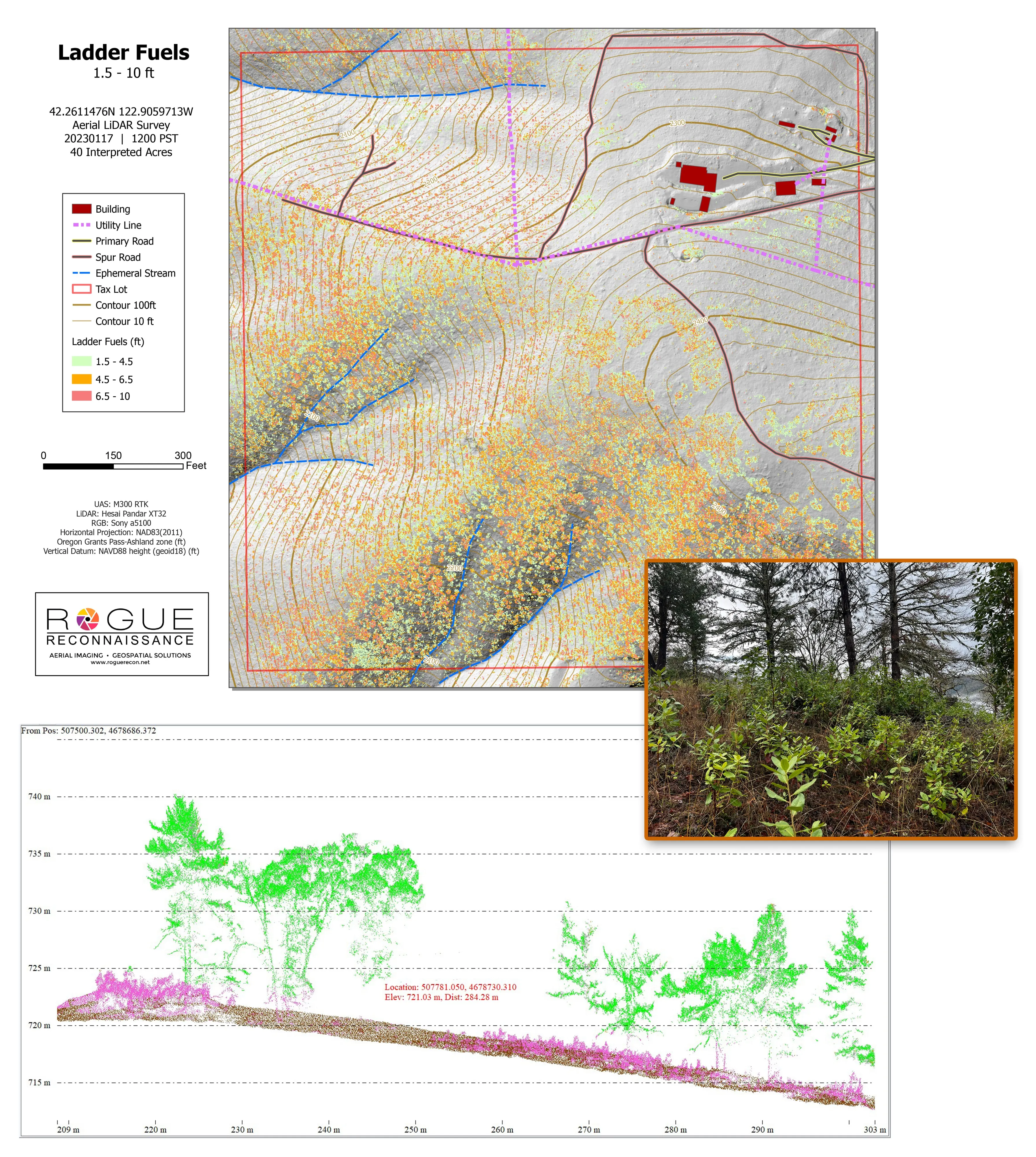
Citywide LiDAR for the Ashland CWPP
City of Ashland
Citywide drone LiDAR that gave the 2025 Ashland Community Wildfire Protection Plan its ladder fuel and structure exposure numbers.
Read the caseThe record
Every project we have published
Forestry and trees
- Downed woody debris, measured from the air
- Finding every Oregon ash before the borer does
- At risk, declining, dieback, dead
- Post harvest monitoring for ODF
- A planting corridor through Phoenix, tree by tree
Rivers and habitat
- Riparian species and cold seeps on the Scott River
- Ten abandoned mines, bare earth under the chaparral
Wildfire fuels and planning
Night infrared on fires
- Night infrared on ODF incidents since 2019
- East Evans Creek, a season inside one fire
- Fielder Mountain, eleven nights as the heat went out
- Woodrat Mountain, from initial attack to the last check
- Interstate 5 at milepost 57, initial attack beside the freeway
- Tyee Ridge Complex
Terrain and site design
Farm planning
Klamath Falls, over the hill from the office.
A field, a stand, a district planning area or a resource order: tell us where and when and we will meet you in the basin.
Email info@roguerecon.net or call 808 298 6290.