

Portland, Oregon
The biggest urban forest in the state, tree by tree.
Portland manages more street and park trees than any city in Oregon, has a canopy target in its plans, and now has emerald ash borer inside Multnomah County. The crown by crown inventory we built for Eugene is the method the metro needs, and the drone LiDAR under it serves the engineers, the utilities and the parks the same way.
The ground
Portland and Multnomah County and Washington County and Clackamas County
Portland is two rivers and a lot of trees: the Willamette through the middle, the Columbia along the north, Forest Park's thousands of acres on the West Hills, the Bull Run watershed out east that the city drinks from, and the Columbia Slough and Johnson Creek threading the flats. West are the Tualatin Valley cities, Beaverton, Hillsboro, Tigard and Tualatin; south and east, Lake Oswego, Oregon City and Gresham. The metro's canopy is counted and argued over in public, and its ash trees are now on a clock.
Who buys mapping here
- City of Portland: Parks and Recreation Urban Forestry, the Bureau of Environmental Services, the Water Bureau, the Bureau of Transportation
- Metro, the regional government, and its parks and natural areas
- Beaverton, Hillsboro, Tigard, Tualatin, Lake Oswego, Gresham, Oregon City and the other metro cities
- Multnomah, Washington and Clackamas counties
- Portland General Electric's corridors and substations; Clean Water Services in the Tualatin basin
- Tualatin Soil and Water Conservation District, which has funded emerald ash borer work in the county
- Johnson Creek Watershed Council, Forest Park Conservancy, the Columbia Slough Watershed Council
- Port of Portland, Portland State University, TriMet
- Architects, engineers and developers on hillside and riverfront sites
Getting there
From Medford
About four and a half hours from Medford by road, or an hour's flight to Portland International with the aircraft as checked freight. We plan Portland in trips of several sites.
The public lidar
What exists, and what it misses
The Portland metro has been flown by the state lidar consortium more than once, and Metro and the cities keep good terrain and canopy cover data from it. What the public data does not give an urban forester is a current, crown by crown record with species and health, nor does it give a landscape architect this year's ground on a redevelopment site at a few centimetres. Both are drone flights.
What we would fly
The lanes that fit Portland


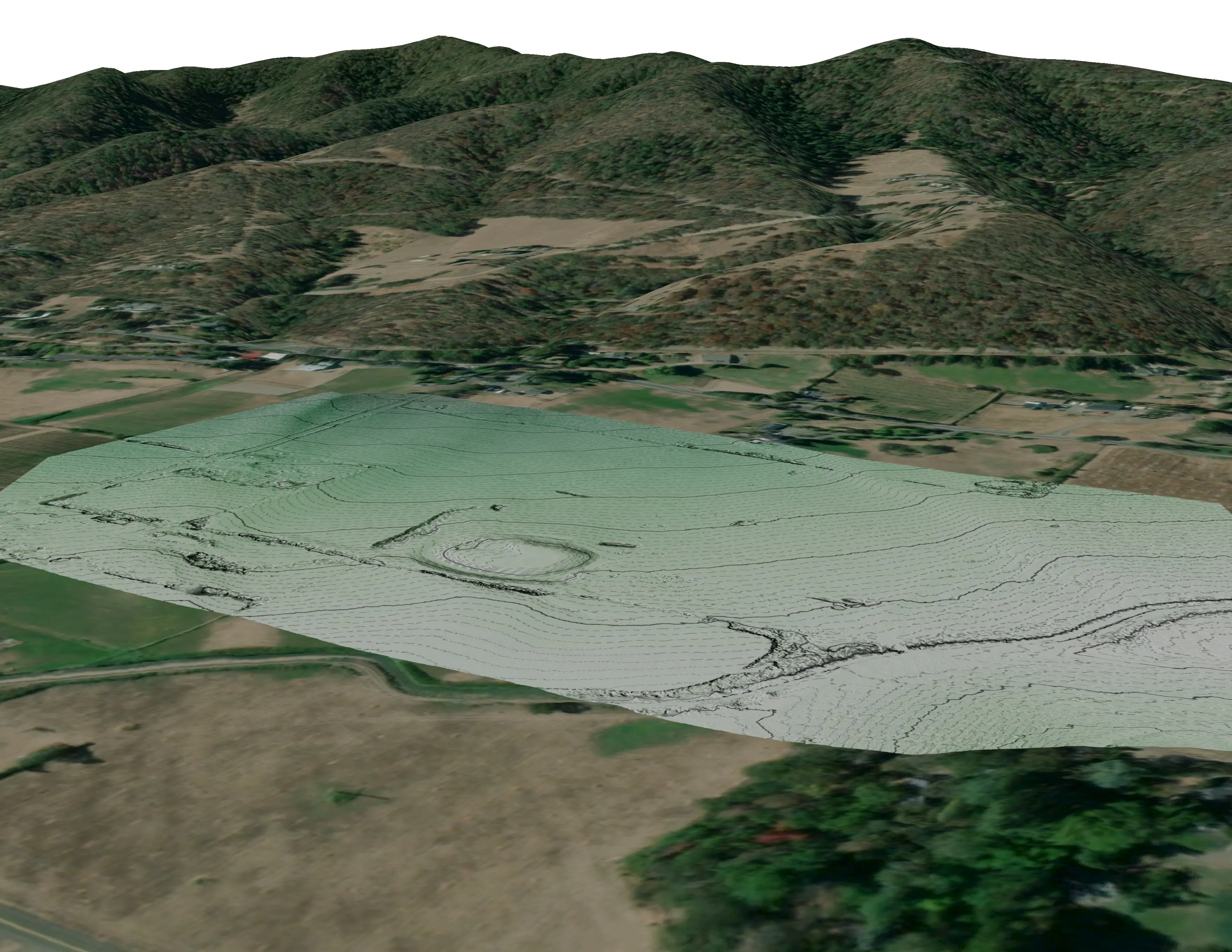
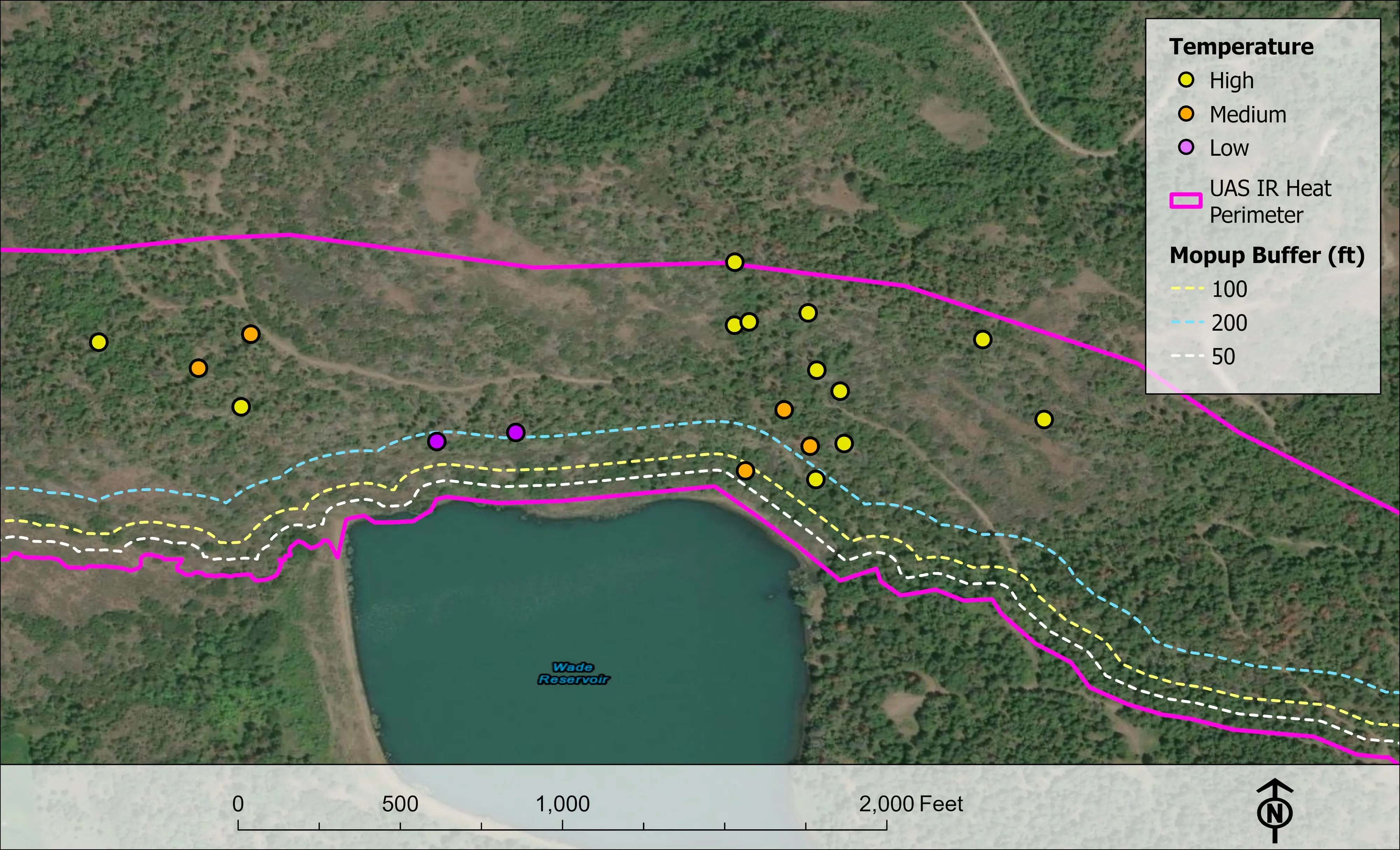
Nearest work
No Portland job yet. The nearest proof is the Eugene inventory, a campus site mapped for engineers, and a river corridor classified by species.
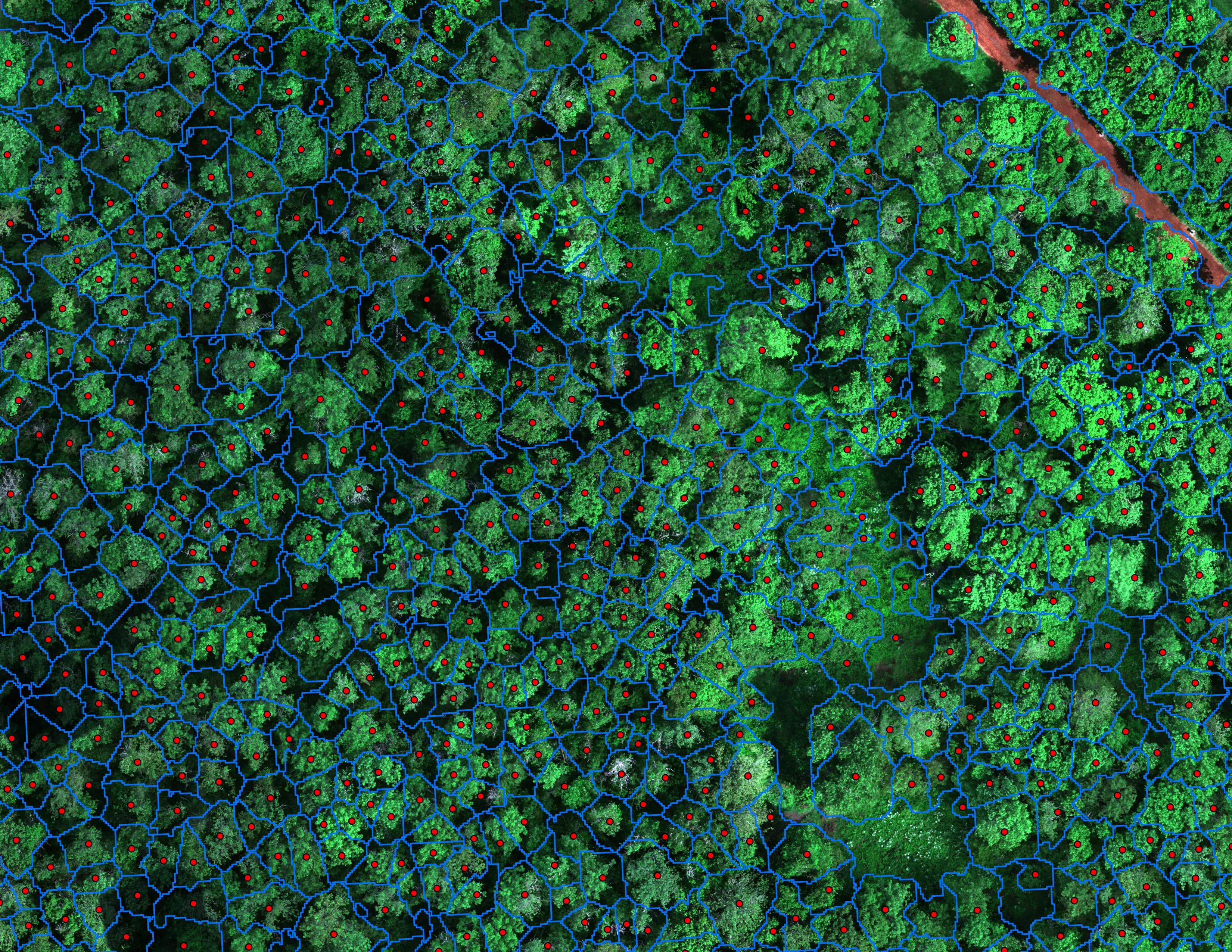
Finding every Oregon ash before the borer does
City of Eugene, Parks and Open Space
12,632 crowns classified across 390 acres of riparian canopy. 5,261 of them Oregon ash.
Read the case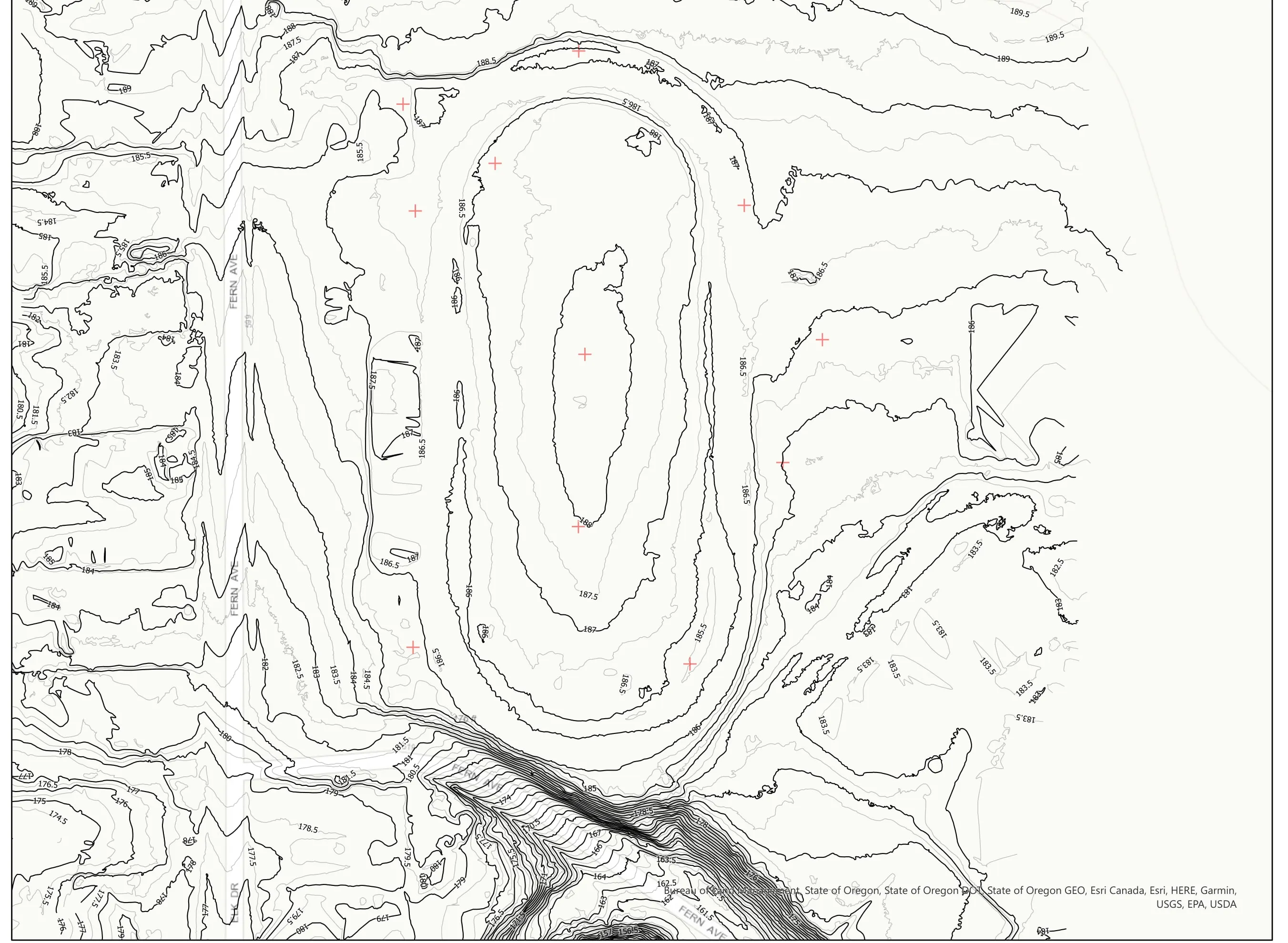
A school site, ready for the engineers
Pacific 3D Reality Capture, for the Brookings Harbor High School campus
Drone LiDAR terrain and contours over a 37 acre school campus, delivered as plan sheets and CAD ready data for the design team.
Read the case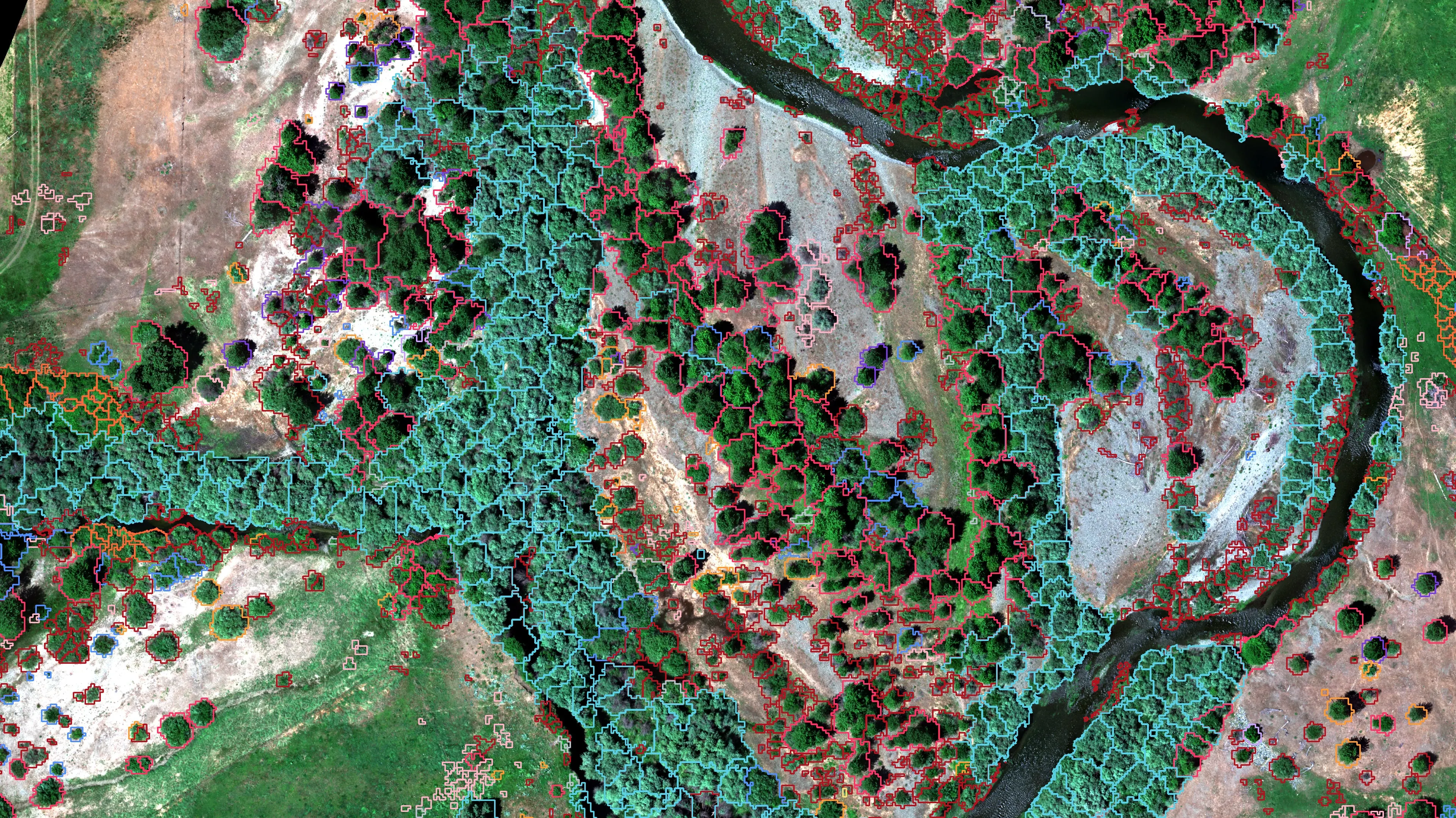
Riparian species and cold seeps on the Scott River
Cascade Stream Solutions, with a botanist leading field identification. We flew it as their subcontractor and reported to them.
Fourteen riparian species classified across 423 acres of river corridor, with thermal mapping that pointed to groundwater fed cold seeps.
Read the caseThe record
Every project we have published
Forestry and trees
- Downed woody debris, measured from the air
- Finding every Oregon ash before the borer does
- At risk, declining, dieback, dead
- Post harvest monitoring for ODF
- A planting corridor through Phoenix, tree by tree
Rivers and habitat
- Riparian species and cold seeps on the Scott River
- Ten abandoned mines, bare earth under the chaparral
Wildfire fuels and planning
Night infrared on fires
- Night infrared on ODF incidents since 2019
- East Evans Creek, a season inside one fire
- Fielder Mountain, eleven nights as the heat went out
- Woodrat Mountain, from initial attack to the last check
- Interstate 5 at milepost 57, initial attack beside the freeway
- Tyee Ridge Complex
Terrain and site design
Farm planning
Portland, in trips.
A park district, a canopy number for a plan, an ash inventory before the borer, or a site the engineers need by spring. Tell us and we will put it on the next trip north.
Email info@roguerecon.net or call 808 298 6290.