

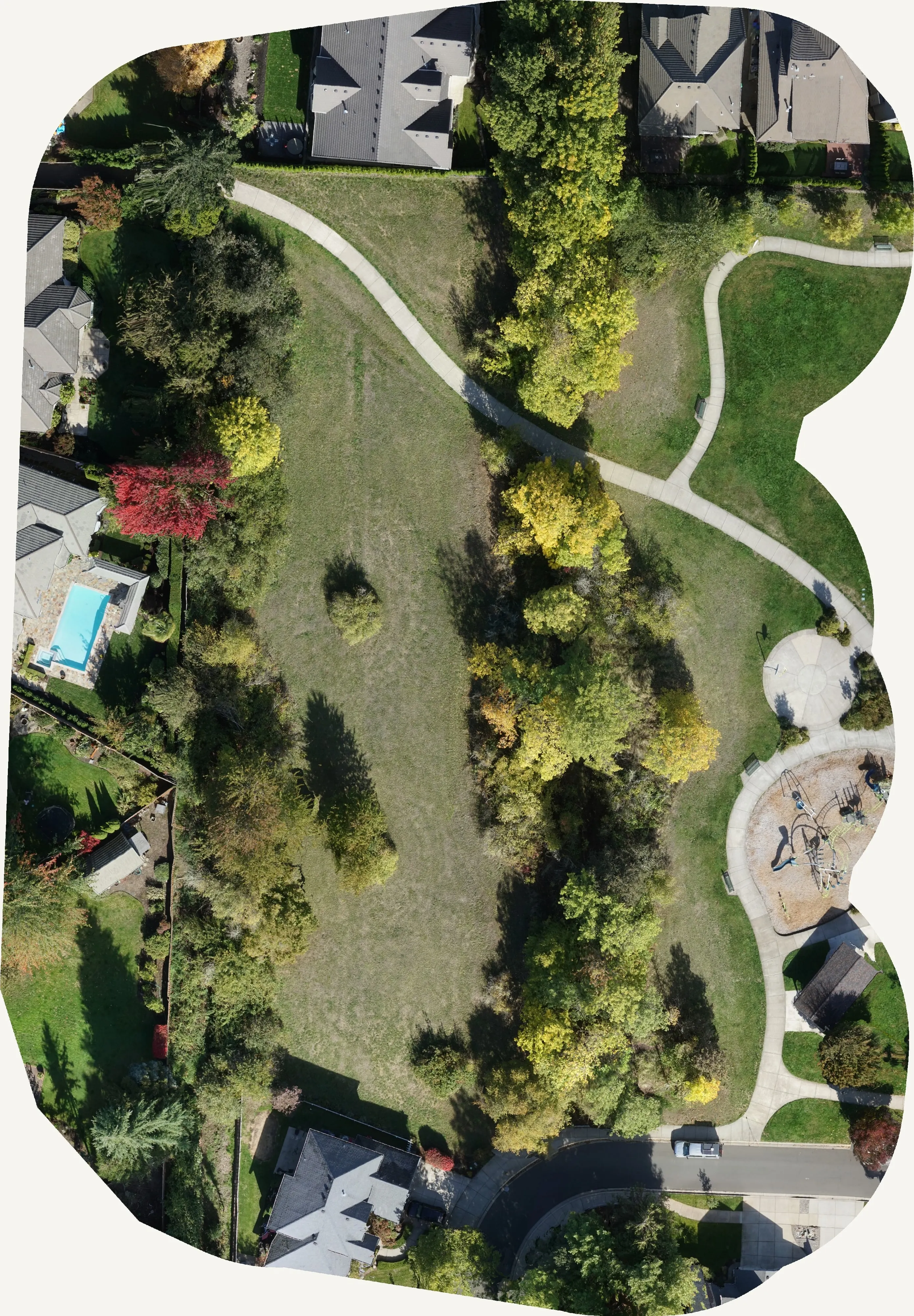
Salem, Oregon
The capital, the ash, and the agencies that buy maps.
Salem is where Oregon's land agencies have their headquarters, where emerald ash borer was confirmed in 2026, and where the Santiam Canyon towns are still rebuilding from the 2020 fires. The Eugene ash inventory is an hour south; the method travels.
The ground
Salem and Marion County and Polk County
Salem straddles the Willamette with Keizer to the north and West Salem across the river in Polk County. The valley around it is hops, hazelnuts, grass seed, orchards and vineyards on the hills, and the Santiam comes down out of the Cascades to the east through Mill City, Gates and Detroit, the canyon the Beachie Creek fire burned through in 2020. The city's parks and streets carry a lot of ash, and the city has been treating them ahead of the beetle.
Who buys mapping here
- City of Salem: Public Works, Urban Forestry, Parks, the GIS group; City of Keizer
- Marion County and Polk County: Public Works, Emergency Management, Parks
- The Oregon Department of Forestry headquarters, the Oregon Watershed Enhancement Board, the Department of State Lands and Oregon Parks and Recreation, all in Salem
- Salem Electric and the cooperatives in the canyon; Portland General Electric's lines along the Santiam
- Marion Soil and Water Conservation District and the North Santiam Watershed Council
- Mill City, Gates, Detroit and the canyon communities rebuilding since 2020
- Willamette University, Chemeketa Community College and the state campus grounds
- Hop, hazelnut and vineyard operations planning drainage and plantings
Getting there
From Medford
About three and three quarter hours from Medford up Interstate 5. We come up for a few days and fly several sites in one trip.
The public lidar
What exists, and what it misses
The Willamette Valley was flown by the state lidar consortium years ago, and Marion and Polk counties use that data for terrain, floodplain and planning. It predates the beetle, the fires and this decade's growth. A canopy assessment or an ash inventory needs imagery from the right month and a crown by crown record, which is a new flight, not an old file.
What we would fly
The lanes that fit Salem


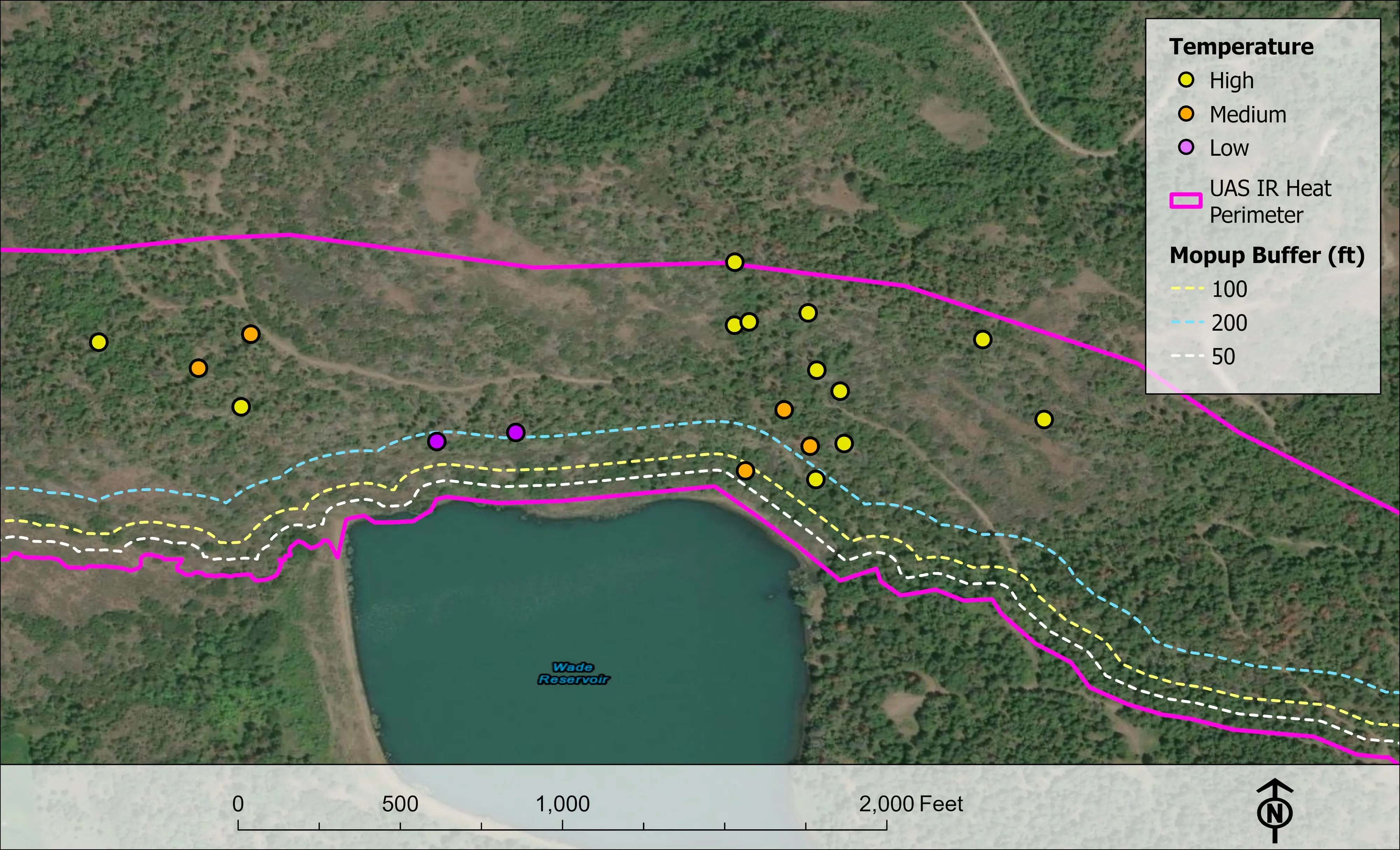
Nearest work
The nearest published work: the Eugene inventory an hour south, and a farm plan on drone LiDAR terrain.
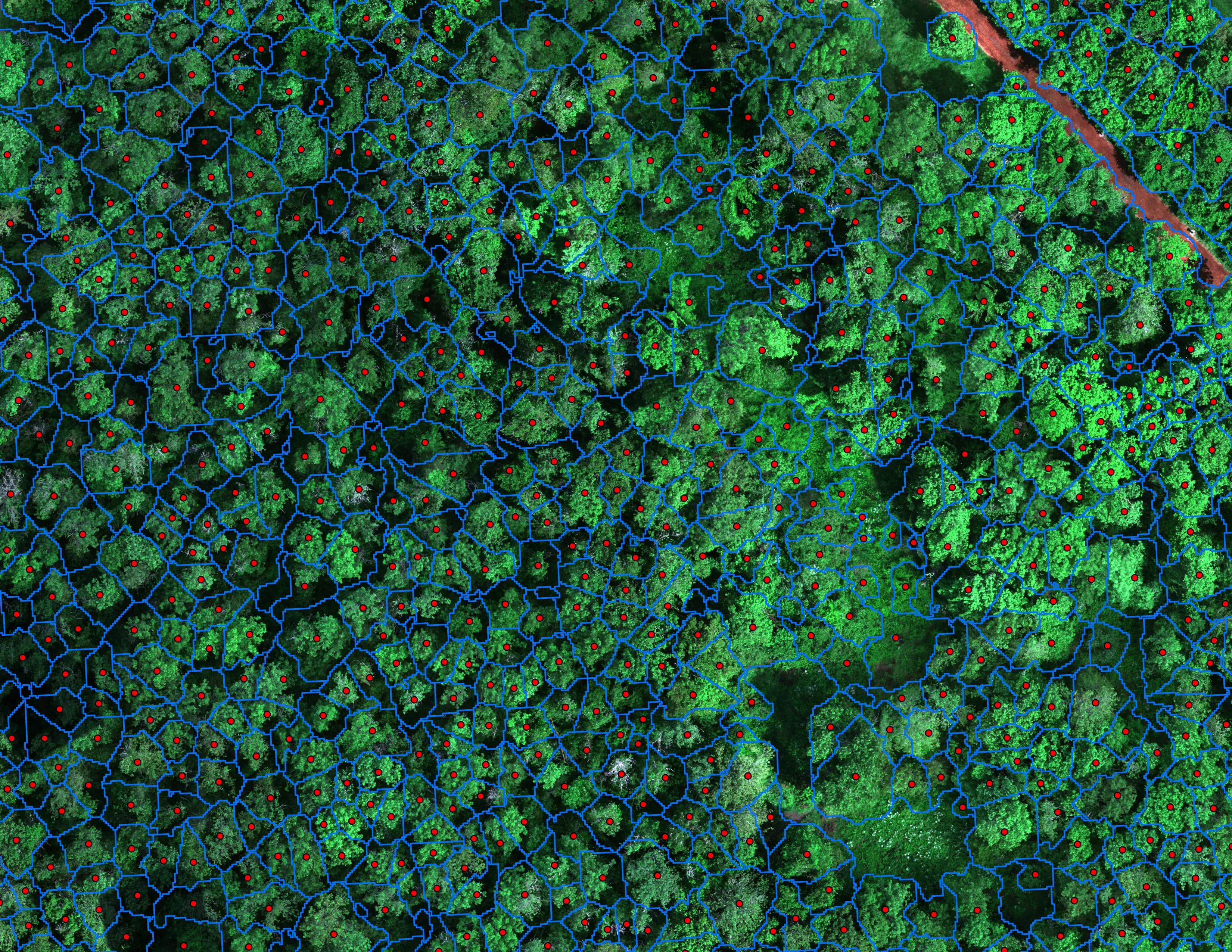
Finding every Oregon ash before the borer does
City of Eugene, Parks and Open Space
12,632 crowns classified across 390 acres of riparian canopy. 5,261 of them Oregon ash.
Read the case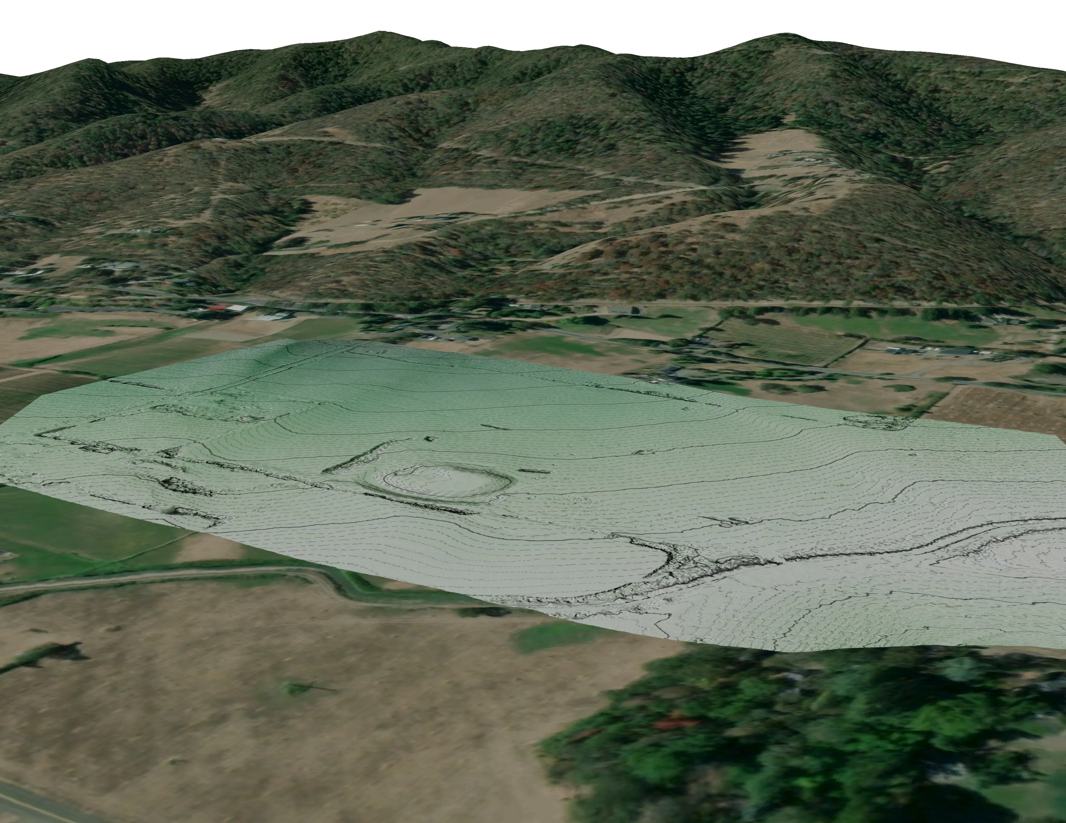
A farm plan on real ground
Plant Oregon with Oregon Urban Rural and Community Forestry, a tree nursery in development
Terrain, ponds, tree mounds, and a site plan drawn on a current ortho of the whole farm.
Read the caseThe record
Every project we have published
Forestry and trees
- Downed woody debris, measured from the air
- Finding every Oregon ash before the borer does
- At risk, declining, dieback, dead
- Post harvest monitoring for ODF
- A planting corridor through Phoenix, tree by tree
Rivers and habitat
- Riparian species and cold seeps on the Scott River
- Ten abandoned mines, bare earth under the chaparral
Wildfire fuels and planning
Night infrared on fires
- Night infrared on ODF incidents since 2019
- East Evans Creek, a season inside one fire
- Fielder Mountain, eleven nights as the heat went out
- Woodrat Mountain, from initial attack to the last check
- Interstate 5 at milepost 57, initial attack beside the freeway
- Tyee Ridge Complex
Terrain and site design
Farm planning
Salem: the ash, the canopy, the farm, the canyon.
Tell us which, and the boundary, and when the council or the board needs the numbers. We plan the trip around it.
Email info@roguerecon.net or call 808 298 6290.