

Springfield, Oregon
Across the river from the ash inventory, with its own creeks to count.
Springfield is the other half of the metro the Eugene ash inventory was built in. It has its own park district, its own utility board, its own ash along the McKenzie and the Willamette, and the Holiday Farm fire scar beginning a few miles up the river.
The ground
Springfield and Lane County
The McKenzie comes out of the Cascades and joins the Willamette just north of town, and both rivers carry wide riparian bands of cottonwood, willow and Oregon ash through the city's parks and past the old mill sites. Thurston and Jasper stretch the city east toward the hills; Mohawk Valley runs north. In 2020 the Holiday Farm fire burned the McKenzie corridor from Blue River down toward Leaburg, within the watershed that supplies the metro's water.
Who buys mapping here
- City of Springfield: Development and Public Works, the Environmental Services division, the GIS group
- Willamalane Park and Recreation District, which runs the city's parks and the riverfront paths
- Springfield Utility Board and the Eugene Water and Electric Board's McKenzie program
- Lane County and the Lane Council of Governments
- Eugene Springfield Fire and the McKenzie Fire and Rescue district up the river
- McKenzie Watershed Council and McKenzie River Trust, rebuilding the corridor after 2020
- The mills and the industrial land along the Mohawk and the rail line
- Homeowner associations in Thurston and on the hills south of town
Getting there
From Medford
About two hours and forty five minutes from Medford on Interstate 5. Flown with Eugene; a Springfield park or reach can ride on the next Lane County trip.
The public lidar
What exists, and what it misses
Lane County's public lidar is among the best in the state and the cities use it for terrain and floodplain planning along both rivers. It was flown before the fire and before the beetle, and it does not know a tree's species or whether it is alive. The Eugene inventory shows what an October multispectral flight over the same ground adds.
What we would fly
The lanes that fit Springfield


Nearest work
The Eugene inventory across the river, a river corridor classified by species, and a restoration planting counted in year one.
Finding every Oregon ash before the borer does
City of Eugene, Parks and Open Space
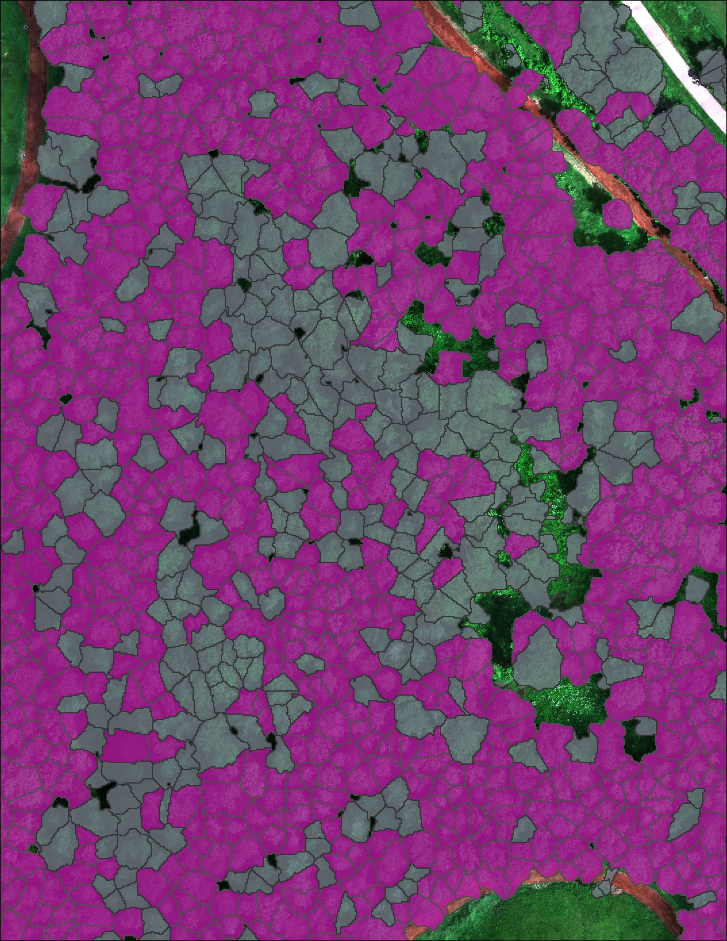
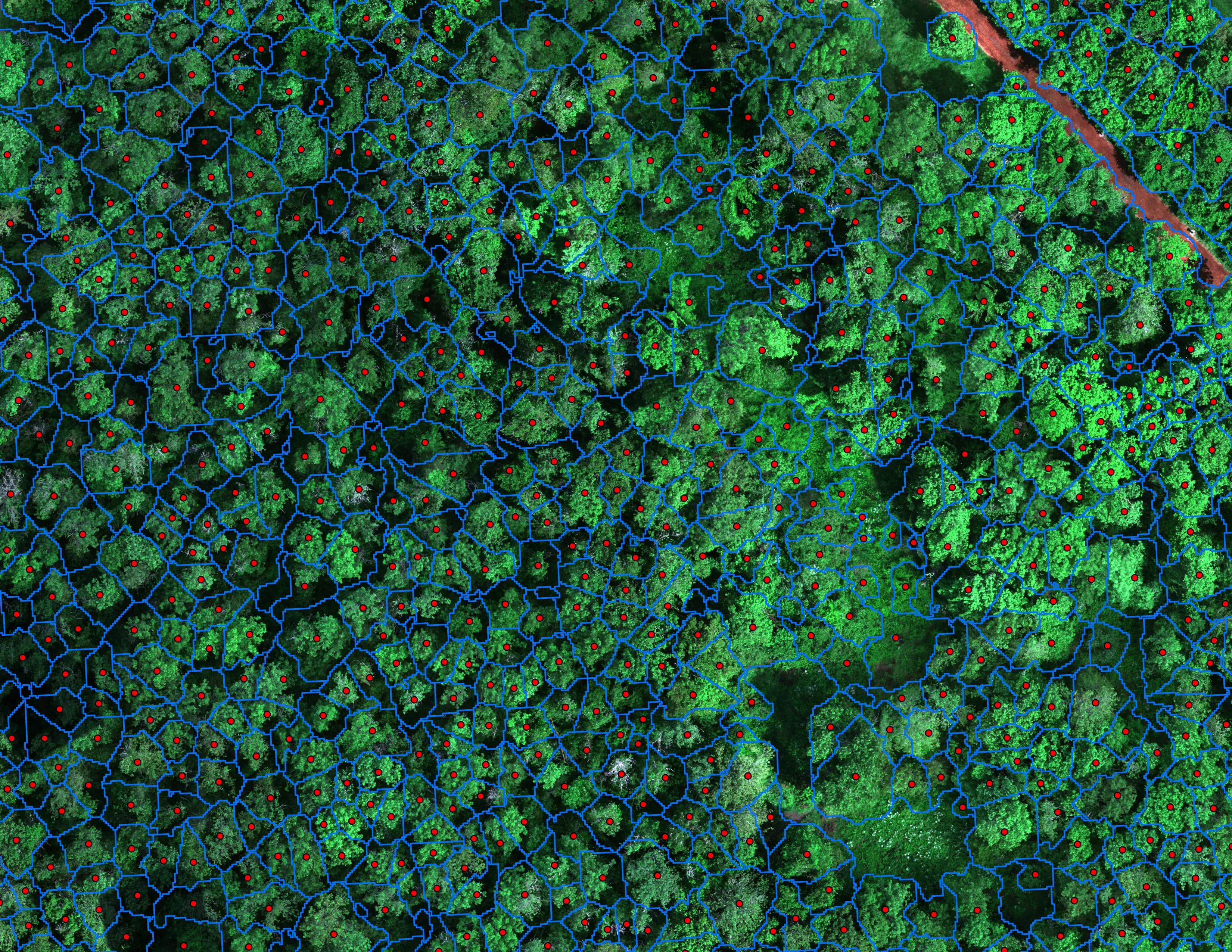
12,632 crowns classified across 390 acres of riparian canopy. 5,261 of them Oregon ash.
Read the case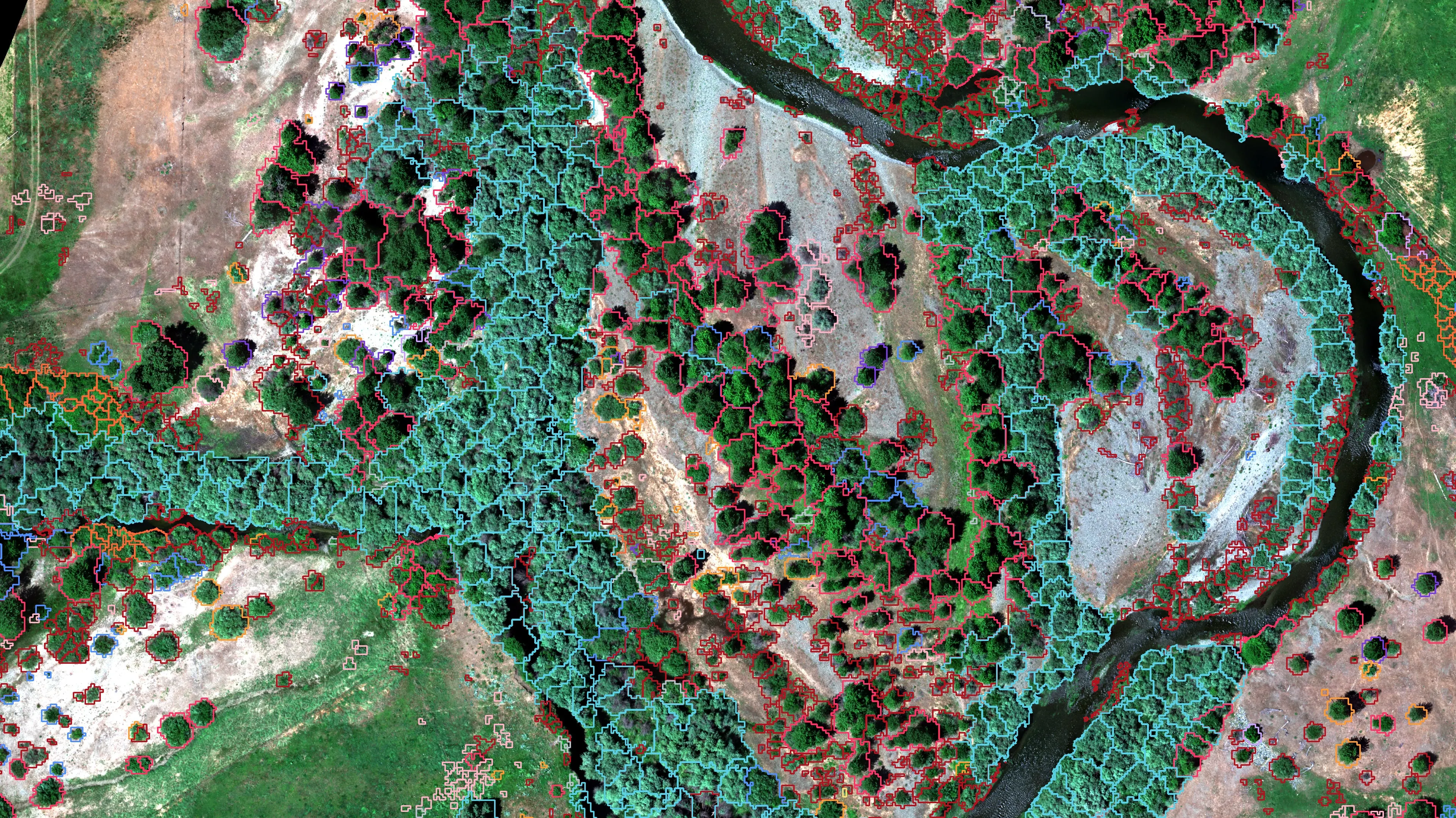
Riparian species and cold seeps on the Scott River
Cascade Stream Solutions, with a botanist leading field identification. We flew it as their subcontractor and reported to them.
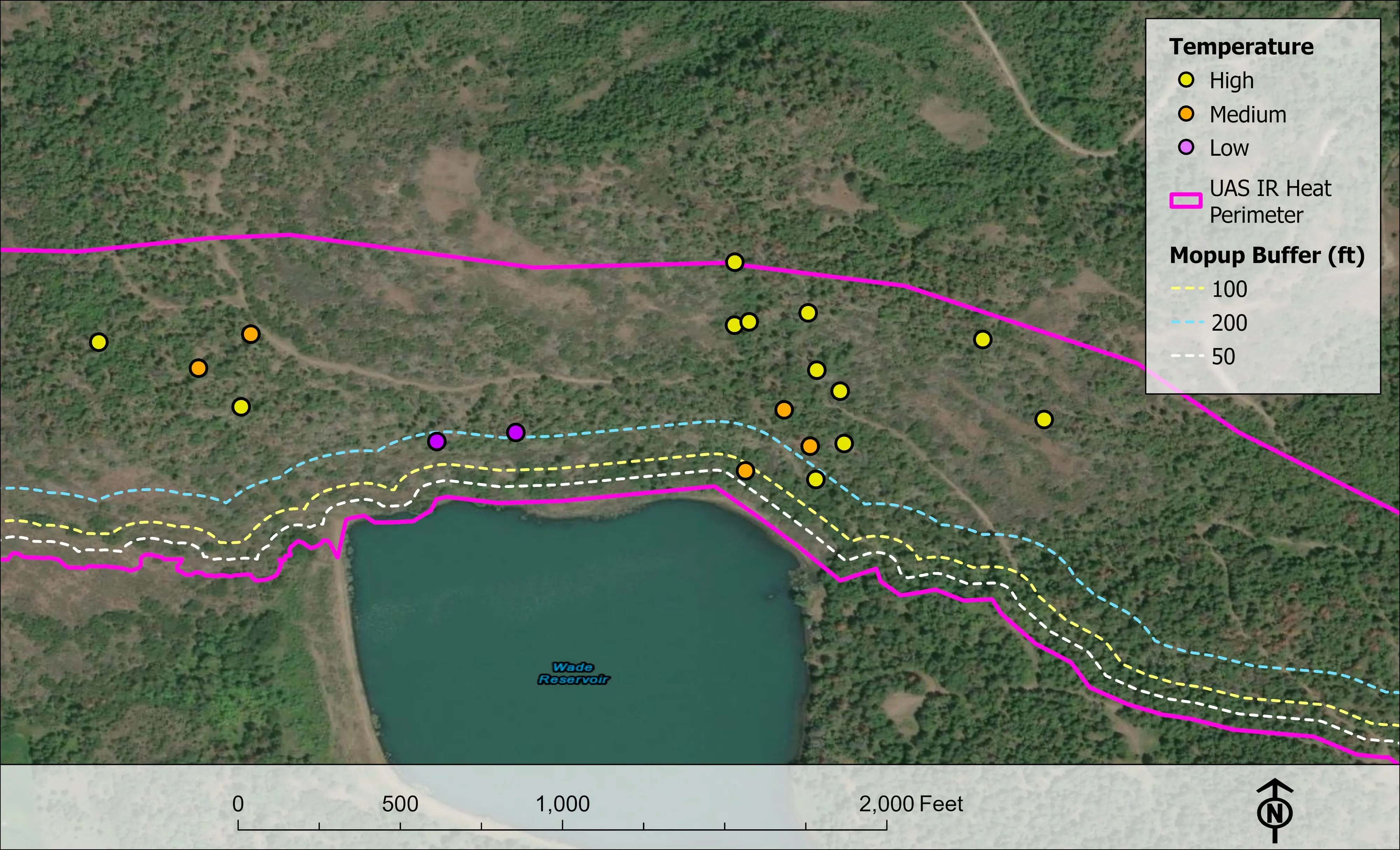
Fourteen riparian species classified across 423 acres of river corridor, with thermal mapping that pointed to groundwater fed cold seeps.
Read the case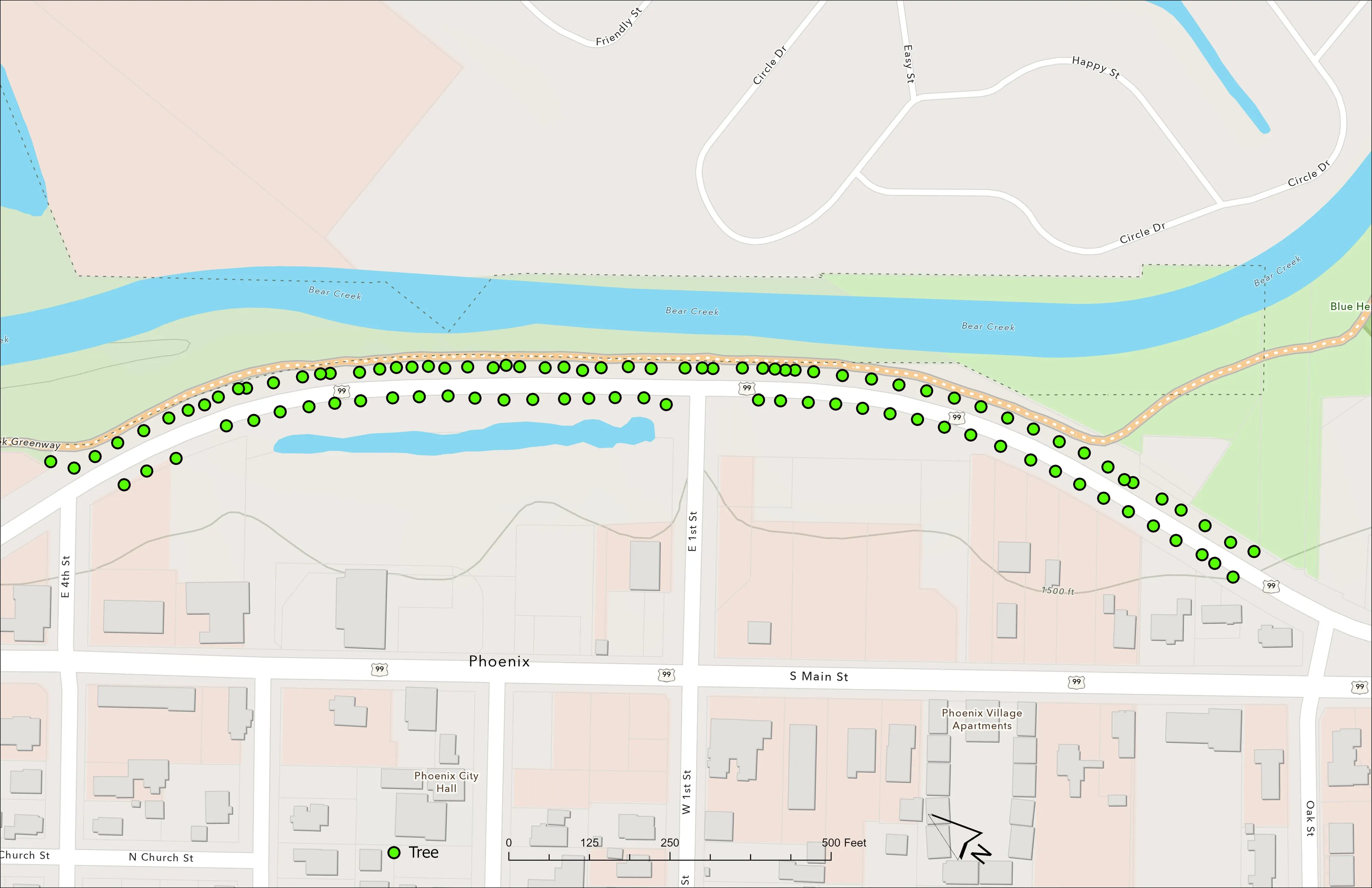
A planting corridor through Phoenix, tree by tree
City of Phoenix
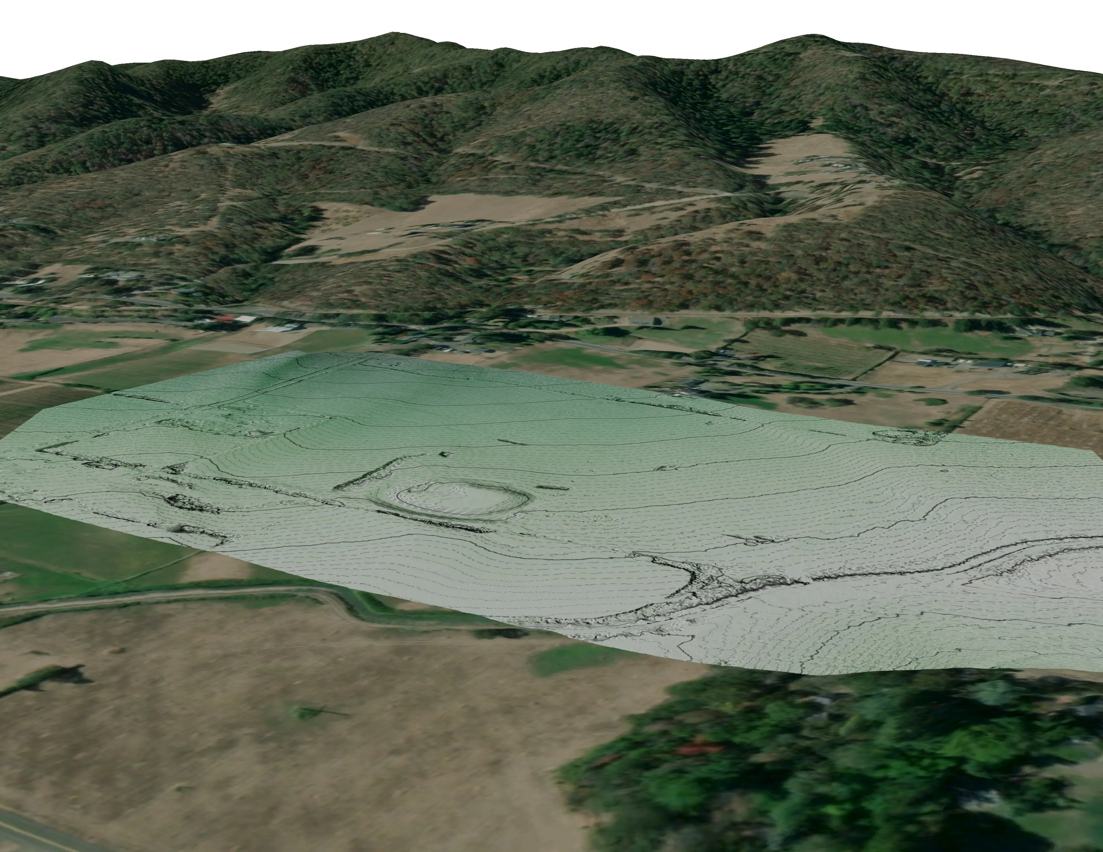
The year one record for 98 trees the city planted where the Almeda fire burned through Phoenix, from drone LiDAR and RGB flown 65 days after planting.
Read the caseThe record
Every project we have published
Forestry and trees
- Downed woody debris, measured from the air
- Finding every Oregon ash before the borer does
- At risk, declining, dieback, dead
- Post harvest monitoring for ODF
- A planting corridor through Phoenix, tree by tree
Rivers and habitat
- Riparian species and cold seeps on the Scott River
- Ten abandoned mines, bare earth under the chaparral
Wildfire fuels and planning
Night infrared on fires
- Night infrared on ODF incidents since 2019
- East Evans Creek, a season inside one fire
- Fielder Mountain, eleven nights as the heat went out
- Woodrat Mountain, from initial attack to the last check
- Interstate 5 at milepost 57, initial attack beside the freeway
- Tyee Ridge Complex
Terrain and site design
Farm planning
Springfield: the parks, the rivers, the scar.
An ash inventory for the park district, a reach of the McKenzie before the next restoration grant, or terrain for a site in Glenwood. Send the boundary.
Email info@roguerecon.net or call 808 298 6290.