

Olympia, Washington
The state's land agencies, a working state forest, and prairie under a conservation plan.
Olympia is where Washington's Department of Natural Resources, Ecology and Transportation keep their headquarters, where a county habitat conservation plan governs building on prairie soils, and where a state forest comes down to the edge of town. Habitat mapping, canopy inventory and terrain for careful sites are the work here.
The ground
Olympia and Thurston County
The capital sits at the southern tip of Puget Sound where the Deschutes River, Washington's Deschutes, meets Budd Inlet. West is the Capitol State Forest in the Black Hills, DNR timber with trails through it; south and east are the glacial outwash prairies, Mima Mounds, the base's training lands and the oak and prairie remnants where the pocket gopher and the butterflies that stopped development live. The Nisqually delta and its refuge lie on the Sound to the north east; the Chehalis begins to the south west.
Who buys mapping here
- City of Olympia: Parks, Arts and Recreation, the Urban Forestry program, Public Works; Lacey and Tumwater
- Thurston County: Community Planning and the Habitat Conservation Plan, Public Works, Emergency Management
- Washington State Department of Natural Resources, headquartered in Olympia, and the Capitol State Forest
- The Department of Ecology, the Department of Fish and Wildlife and the Washington State Department of Transportation
- The Nisqually Indian Tribe and the Squaxin Island Tribe and their natural resources programs
- Thurston Conservation District, Capitol Land Trust, the Nisqually Land Trust, the Center for Natural Lands Management
- Billy Frank Jr. Nisqually National Wildlife Refuge and Joint Base Lewis McChord's prairie programs
- The Evergreen State College and its forest; the Port of Olympia; Puget Sound Energy
Getting there
From Medford
About six and a half hours from Medford on Interstate 5. Olympia is the first stop of a Puget Sound trip and pairs with Tacoma.
The public lidar
What exists, and what it misses
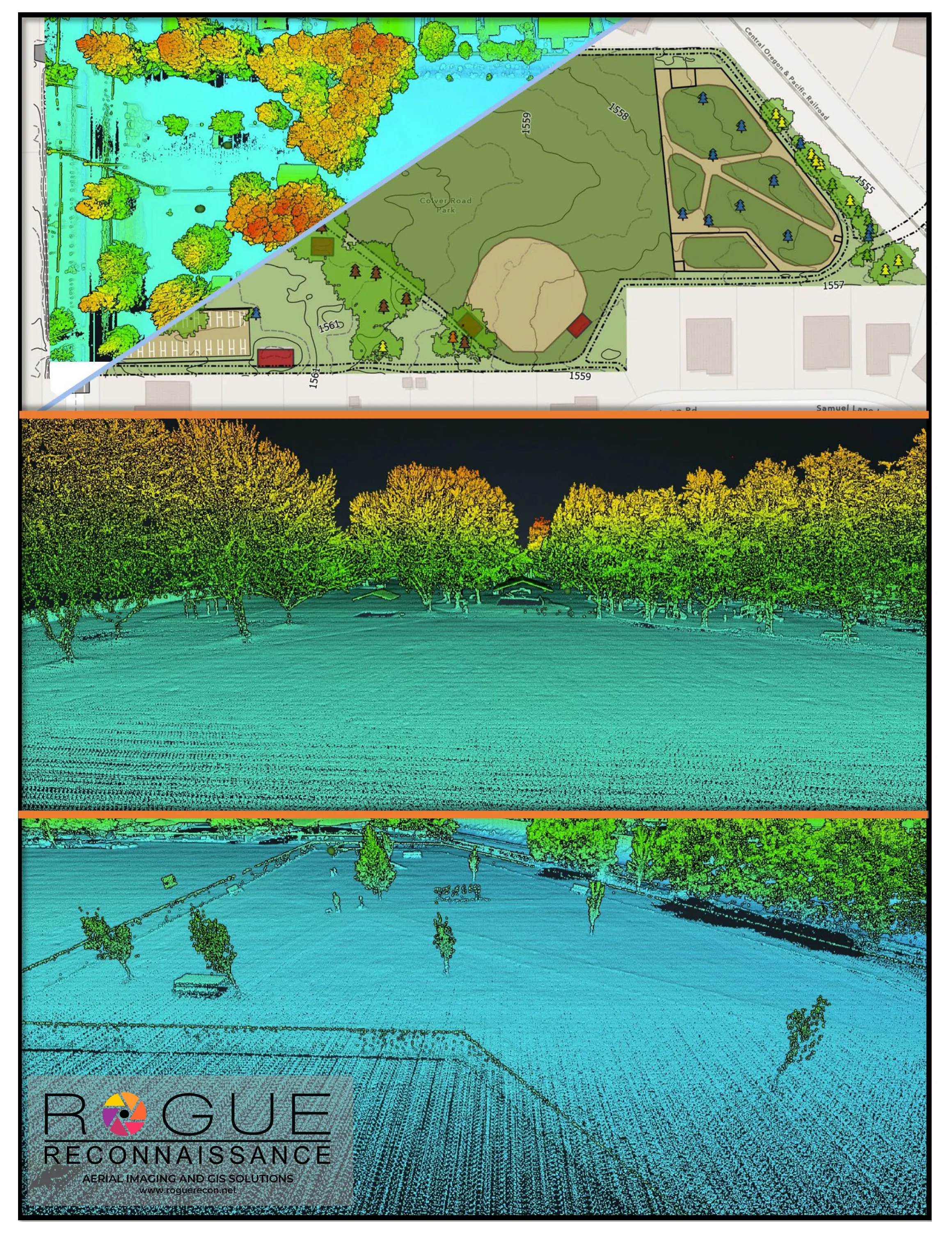
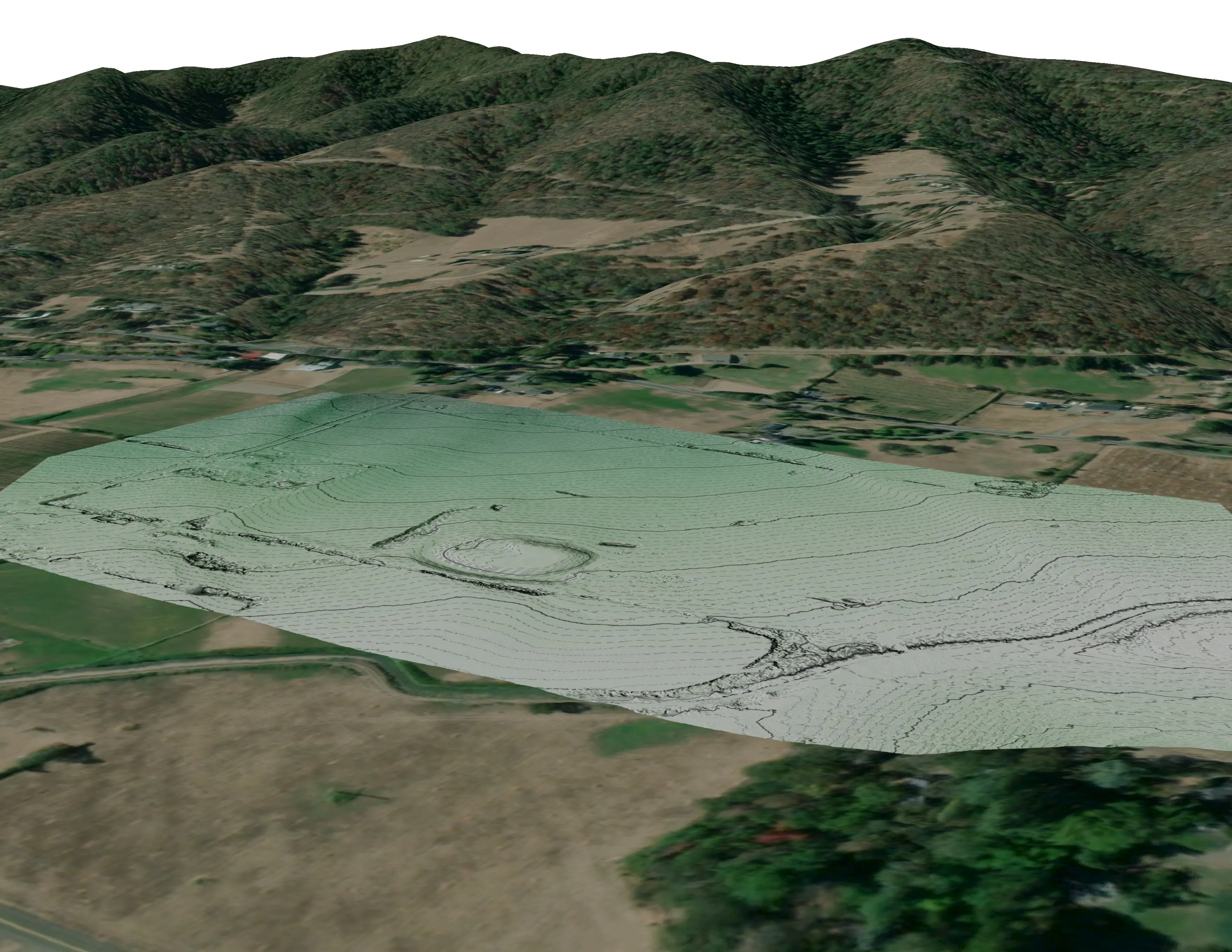
Thurston County has lidar through the state portal and the county built its habitat conservation plan maps on soils and imagery. The questions now are finer than those layers: which prairie parcels still carry the habitat, how a restoration unit is recovering, what the canopy is tree by tree in the city's parks and neighbourhoods, and the current ground on a site that has to prove it avoids protected soils.
What we would fly
The lanes that fit Olympia


Nearest work
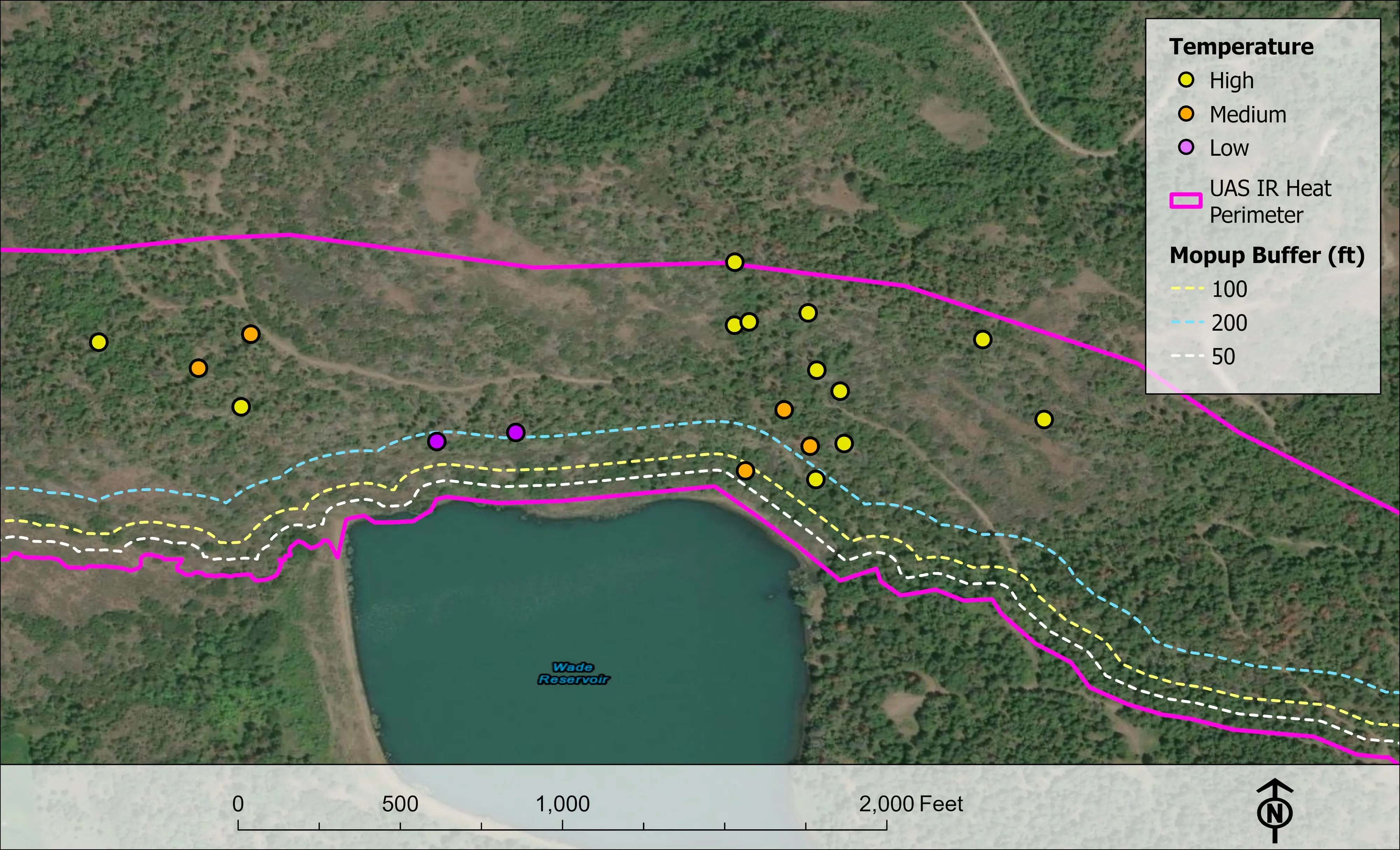
Thurston County is still ahead of us. The demonstrations that apply: a corridor classified by species for a stream consultancy, bare earth and habitat at ten mine sites for a conservation group, and a city tree inventory.
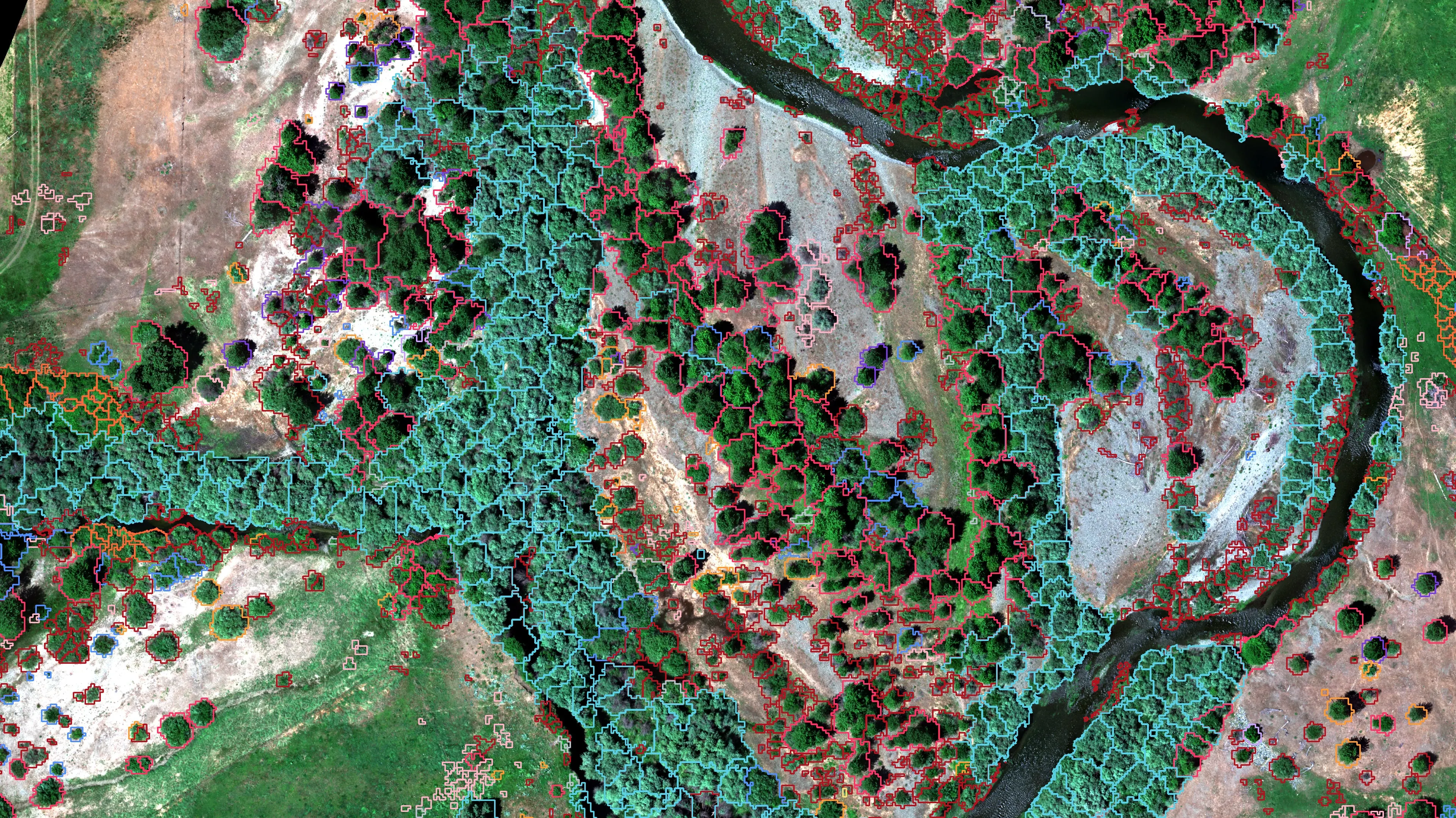
Riparian species and cold seeps on the Scott River
Cascade Stream Solutions, with a botanist leading field identification. We flew it as their subcontractor and reported to them.
Fourteen riparian species classified across 423 acres of river corridor, with thermal mapping that pointed to groundwater fed cold seeps.
Read the case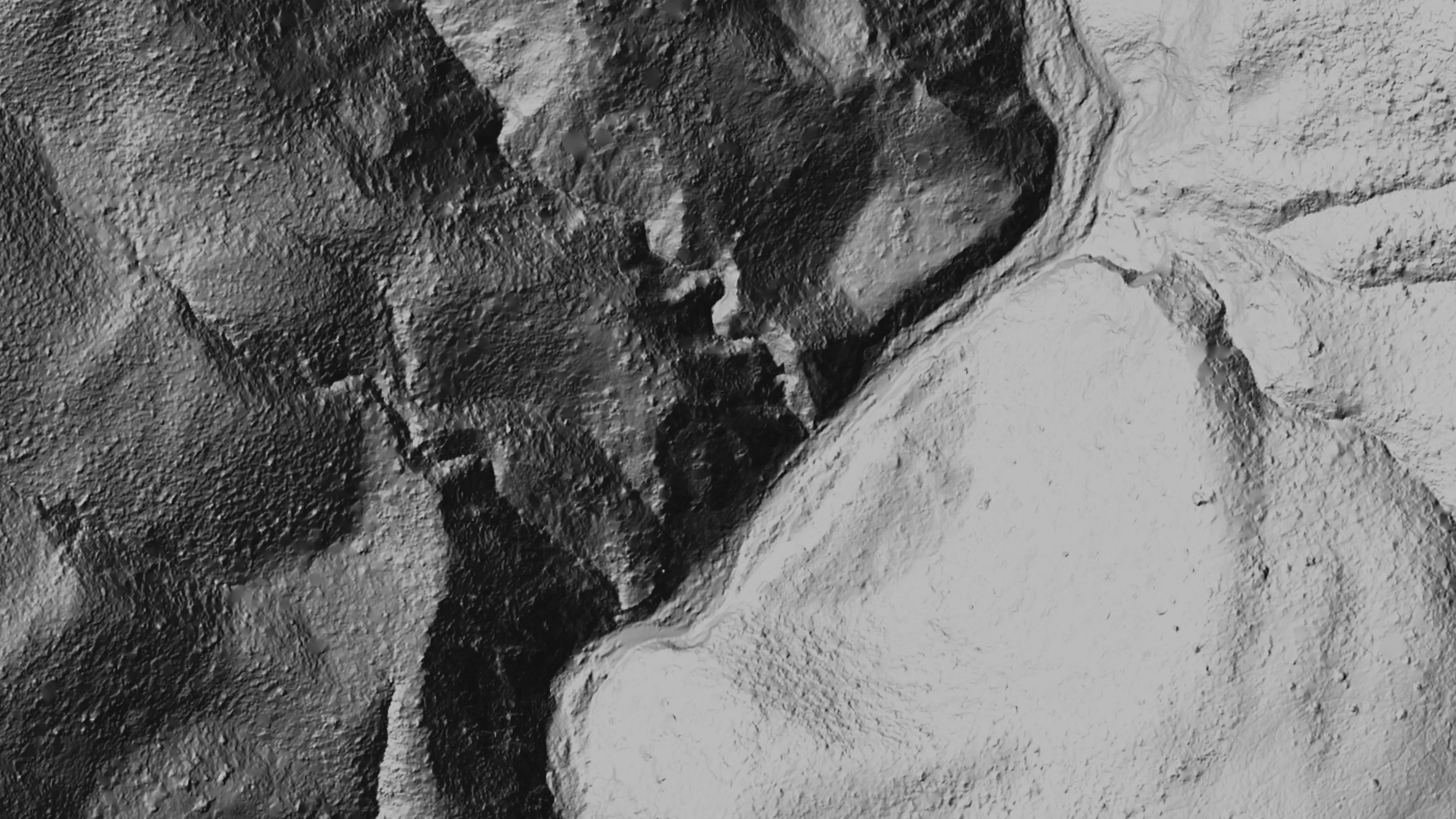
Ten abandoned mines, bare earth under the chaparral
Bat Conservation International, on Bureau of Land Management land, Ukiah Field Office
Bare earth, surface, and canopy height models over 779.4 acres of abandoned mine sites under steep chaparral, checked against the public LiDAR at 0.320 m RMSE.
Read the case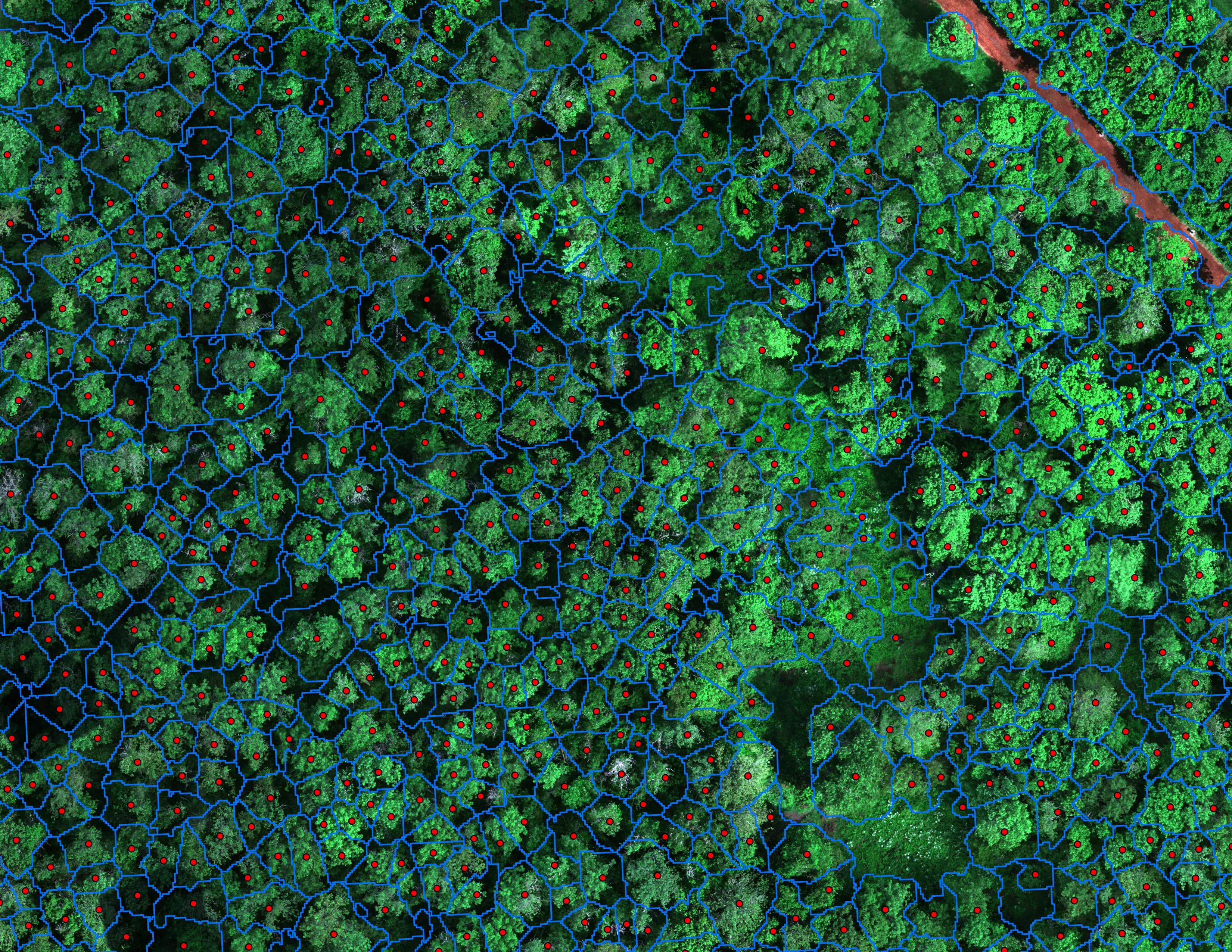
Finding every Oregon ash before the borer does
City of Eugene, Parks and Open Space
12,632 crowns classified across 390 acres of riparian canopy. 5,261 of them Oregon ash.
Read the caseThe record
Every project we have published
Forestry and trees
- Downed woody debris, measured from the air
- Finding every Oregon ash before the borer does
- At risk, declining, dieback, dead
- Post harvest monitoring for ODF
- A planting corridor through Phoenix, tree by tree
Rivers and habitat
- Riparian species and cold seeps on the Scott River
- Ten abandoned mines, bare earth under the chaparral
Wildfire fuels and planning
Night infrared on fires
- Night infrared on ODF incidents since 2019
- East Evans Creek, a season inside one fire
- Fielder Mountain, eleven nights as the heat went out
- Woodrat Mountain, from initial attack to the last check
- Interstate 5 at milepost 57, initial attack beside the freeway
- Tyee Ridge Complex
Terrain and site design
Farm planning
Olympia: habitat, canopy and the careful site.
A prairie parcel, a park, a state forest unit or a site the plan has questions about. Tell us the ground and the agency and we will start the Puget Sound trip here.
Email info@roguerecon.net or call 808 298 6290.