

Spokane, Washington
Dry side pine, a river through town, and the fires of 2023 still fresh.
The Gray and Oregon Road fires burned hundreds of homes west and north of Spokane in August 2023, in the kind of ponderosa interface we map structure by structure in southern Oregon. Spokane also has a river, a park system that runs on it, the Palouse wheat country to the south and timber to the north.
The ground
Spokane and Spokane County
The Spokane River falls through the middle of the city and runs west past Riverside State Park into the basalt scablands. North and east the pine and fir forest comes right into the suburbs, Mead, Colbert, Nine Mile Falls, and keeps going to the Colville National Forest and the Idaho line; Mount Spokane stands over it all. South the Palouse begins, rolling wheat and lentils to the horizon. Medical Lake and Elk, where the 2023 fires did their damage, are both within half an hour of downtown.
Who buys mapping here
- City of Spokane: Parks and Recreation and its urban forestry program, Public Works, the GIS group; Spokane Valley, Cheney, Medical Lake, Liberty Lake
- Spokane County: Emergency Management, Building and Planning, the county fire districts, Spokane County Fire District 8 and the others in the interface
- Washington State Department of Natural Resources, Northeast Region, and the Colville National Forest
- Avista and its wildfire mitigation program; Inland Power and Light
- Spokane Conservation District and the Spokane River Forum
- The Spokane Tribe of Indians and the Kalispel Tribe and their forestry and fisheries programs
- Gonzaga University, Eastern Washington University, Washington State University Spokane and the Riverpoint campus
- Palouse wheat and lentil growers; the timber owners north of the city
Getting there
From Medford
Spokane is the far end of our range by road, nine to ten hours from Medford across central Oregon, so we fly in and rent a truck, or stage a longer eastern Washington trip through Yakima and the Tri Cities.
The public lidar
What exists, and what it misses
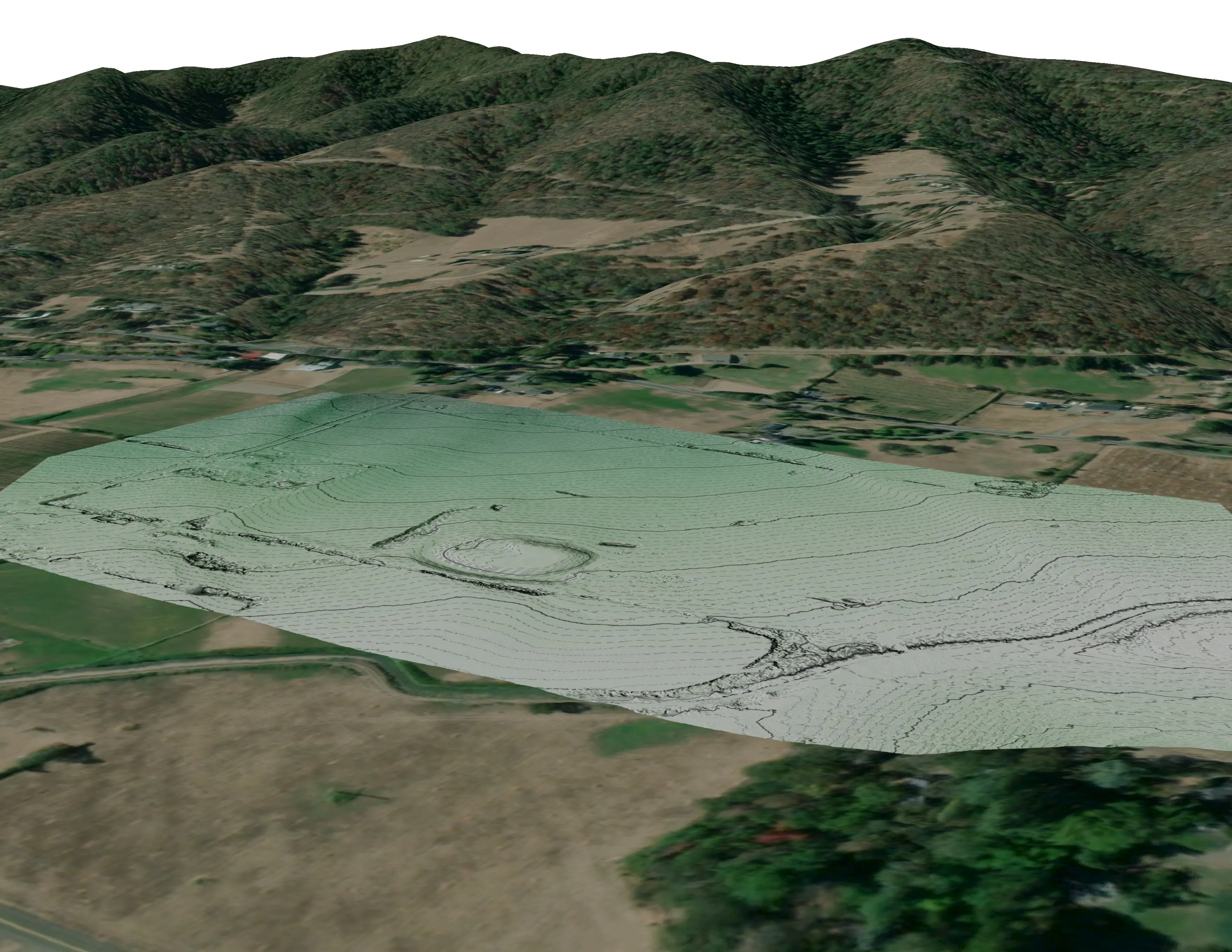
Spokane County has state portal lidar over the city and the forested north, and the county and the conservation district use it for planning. The 2023 fire footprints, the interface neighbourhoods and the utility corridors now need the finer picture: fuels and exposure per structure, treated units measured, and the pine stands watched for beetle and drought mortality.
What we would fly
The lanes that fit Spokane


Nearest work
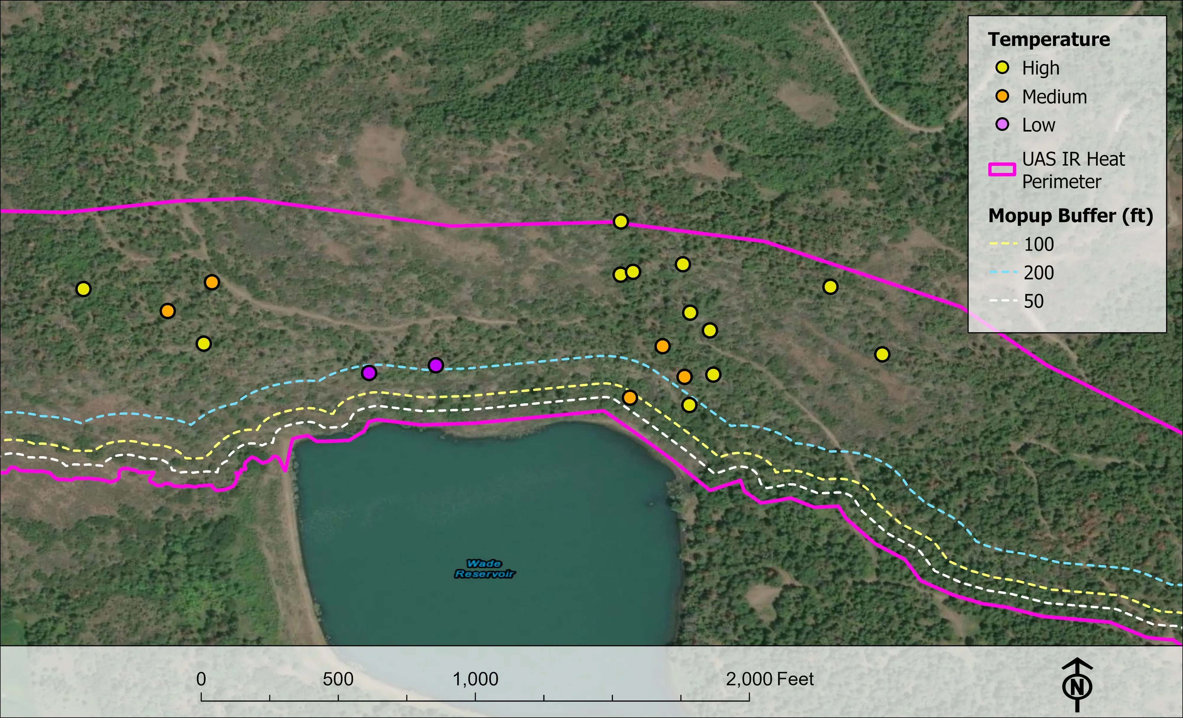
Behind the offer for eastern Washington: the Ashland citywide fuels and exposure numbers, East Evans Creek flown through a season of nights, and a watershed of pines and firs classed by health.
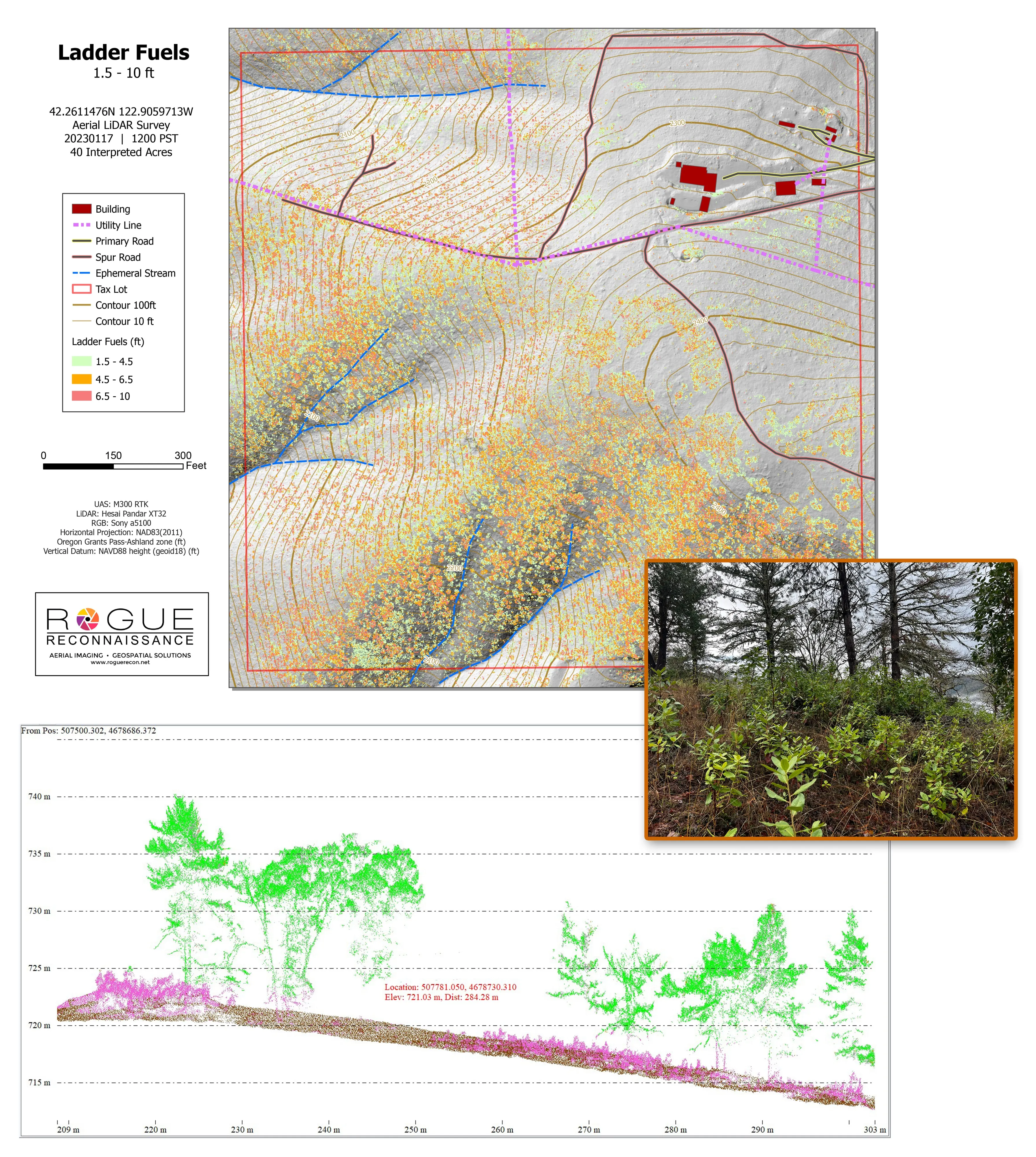
Citywide LiDAR for the Ashland CWPP
City of Ashland
Citywide drone LiDAR that gave the 2025 Ashland Community Wildfire Protection Plan its ladder fuel and structure exposure numbers.
Read the case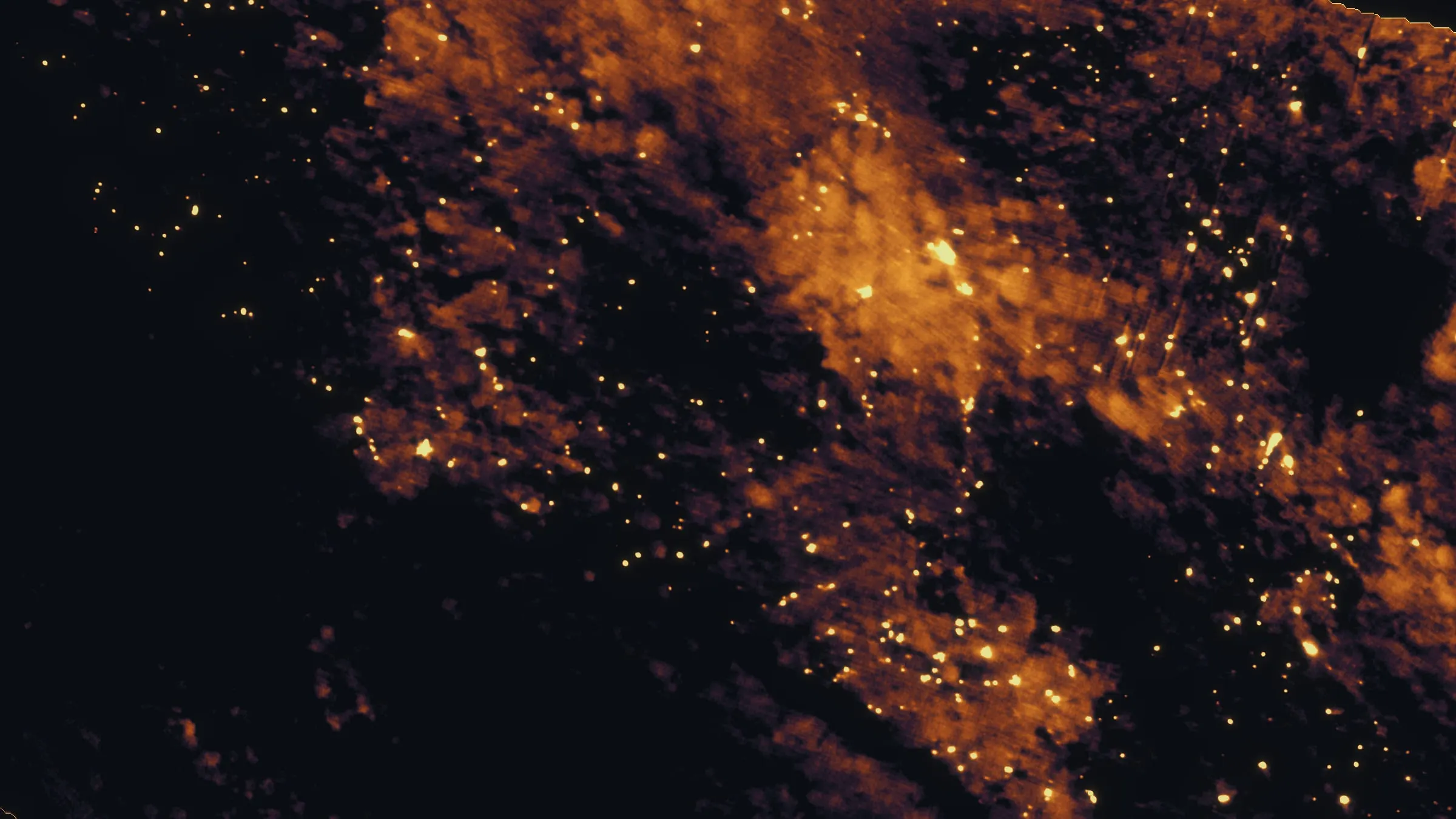
East Evans Creek, a season inside one fire
Oregon Department of Forestry
Fifteen nights on one incident across three weeks, eight divisions, and a heat map in the GIS specialist's hands before the morning briefing.
Read the case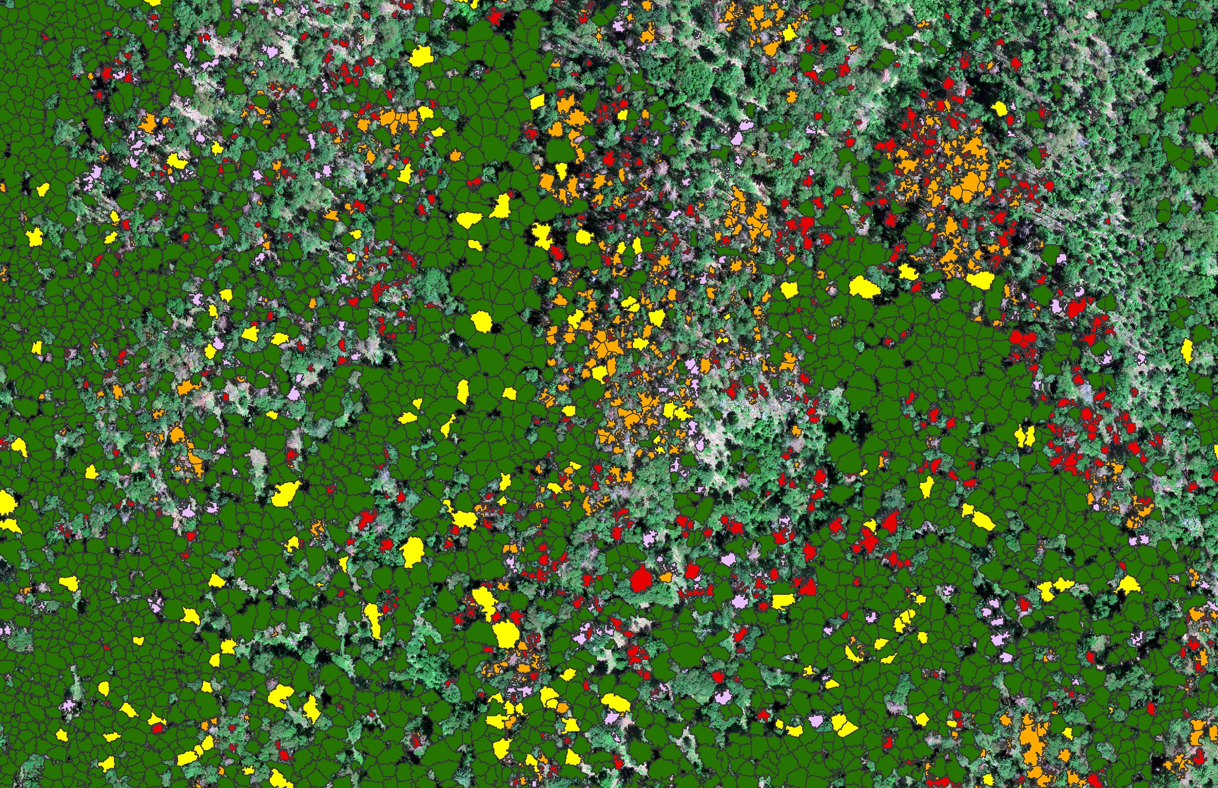
At risk, declining, dieback, dead
City of Ashland
About 30,000 Douglas fir crowns classed by health across the city's watershed lands, so the city could see the die off and act on it.
Read the caseThe record
Every project we have published
Forestry and trees
- Downed woody debris, measured from the air
- Finding every Oregon ash before the borer does
- At risk, declining, dieback, dead
- Post harvest monitoring for ODF
- A planting corridor through Phoenix, tree by tree
Rivers and habitat
- Riparian species and cold seeps on the Scott River
- Ten abandoned mines, bare earth under the chaparral
Wildfire fuels and planning
Night infrared on fires
- Night infrared on ODF incidents since 2019
- East Evans Creek, a season inside one fire
- Fielder Mountain, eleven nights as the heat went out
- Woodrat Mountain, from initial attack to the last check
- Interstate 5 at milepost 57, initial attack beside the freeway
- Tyee Ridge Complex
Terrain and site design
Farm planning
Spokane: the interface after 2023.
A fire district's planning area, a utility corridor, a county fuels project or a pine stand. Send the boundary and the season and we will plan the eastern Washington trip around it.
Email info@roguerecon.net or call 808 298 6290.