

Yakima, Washington
Apples, hops and the forest the Nation manages, with fire in the canyons.
The Yakima Valley grows more apples and hops than anywhere in the country and the Yakama Nation manages one of the largest tribal forests in the West above it. The Schneider Springs fire burned the Naches canyons in 2021. Orchard planning, forest inventory and fuels are the flights that fit.
The ground
Yakima and Yakima County
The Yakima River comes out of the Cascades through Union Gap and the valley opens into orchards, hop yards and vineyards all the way to the Tri Cities, irrigated from canals that have run for a century. West and north the dry side forest climbs toward White Pass and Chinook Pass through the Naches and Tieton canyons; south west the Yakama reservation holds forest, range and the east side of Mount Adams. Cowiche Canyon and the Wenas hills frame the city on the north side.
Who buys mapping here
- City of Yakima: Parks and Recreation, Public Works, Planning; Union Gap, Selah, Sunnyside, Toppenish
- Yakima County: Emergency Management, Public Services, the county GIS
- The Confederated Tribes and Bands of the Yakama Nation: forestry, fisheries and natural resources programs
- Washington State Department of Natural Resources, Southeast Region, and the Okanogan Wenatchee National Forest's Naches district
- North Yakima Conservation District, the Yakima Basin Fish and Wildlife Recovery Board, the Cowiche Canyon Conservancy
- Pacific Power and the valley irrigation districts
- The Yakima Training Center and the Yakima Valley fire districts
- Orchardists, hop growers, vineyards and the packing houses planning blocks and water
Getting there
From Medford
About seven hours from Medford across the Cascades by Interstate 5 and Highway 12, or a flight to Yakima or Seattle. Yakima anchors an eastern Washington trip with the Tri Cities.
The public lidar
What exists, and what it misses
Yakima County has partial state portal coverage, better on the valley floor than in the forest, and the Nation and the agencies hold their own data for parts of the reservation and the national forest. An orchard block, a hop yard, a treated forest unit or a burned canyon slope each want a current flight at the resolution of a single row or a single tree.
What we would fly
The lanes that fit Yakima


Nearest work
We have yet to fly the Yakima Valley. Comparable work: the Talent nursery plan, an ODF timber sale unit assessed after harvest, and a fire flown eleven nights running.
A farm plan on real ground
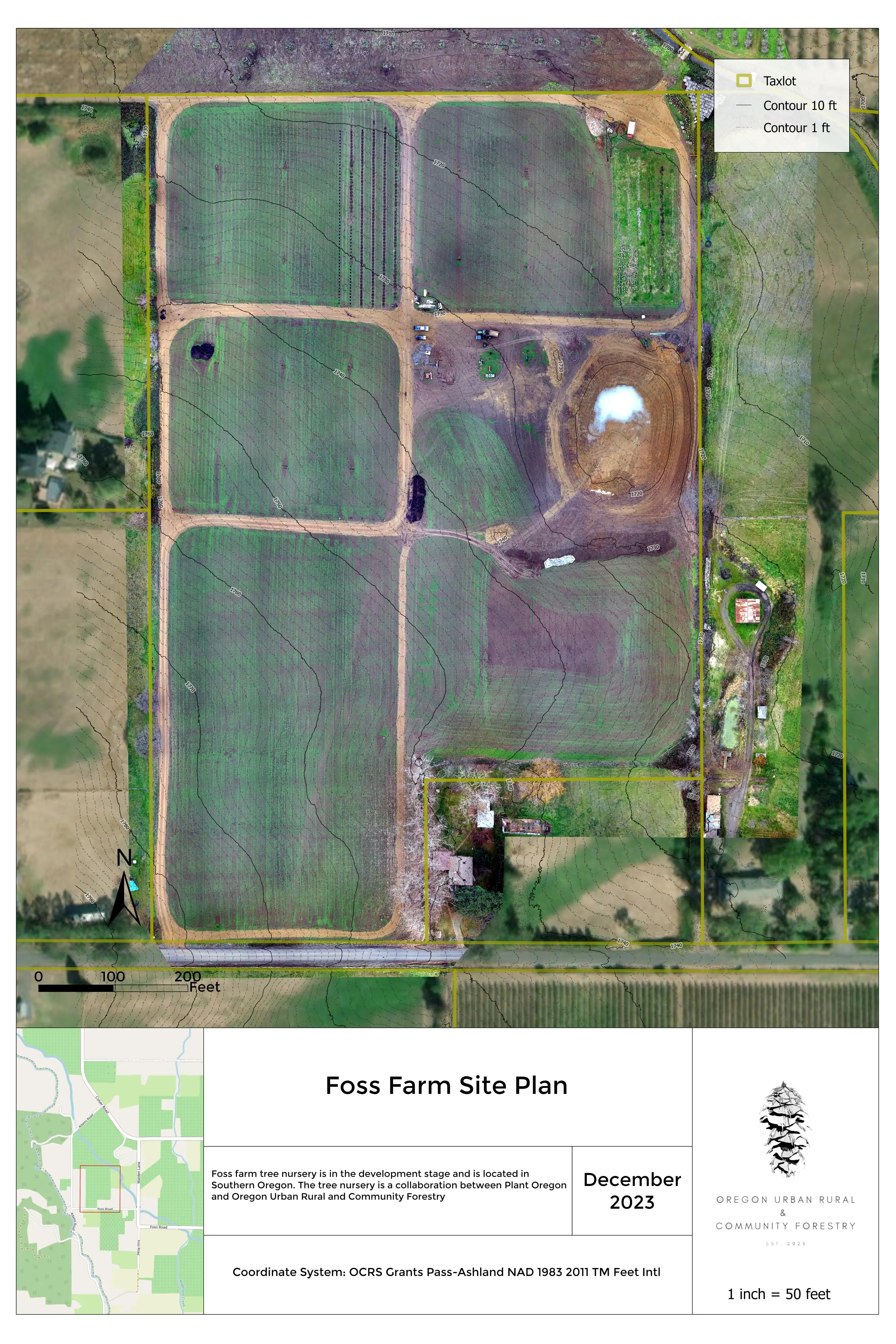
Plant Oregon with Oregon Urban Rural and Community Forestry, a tree nursery in development
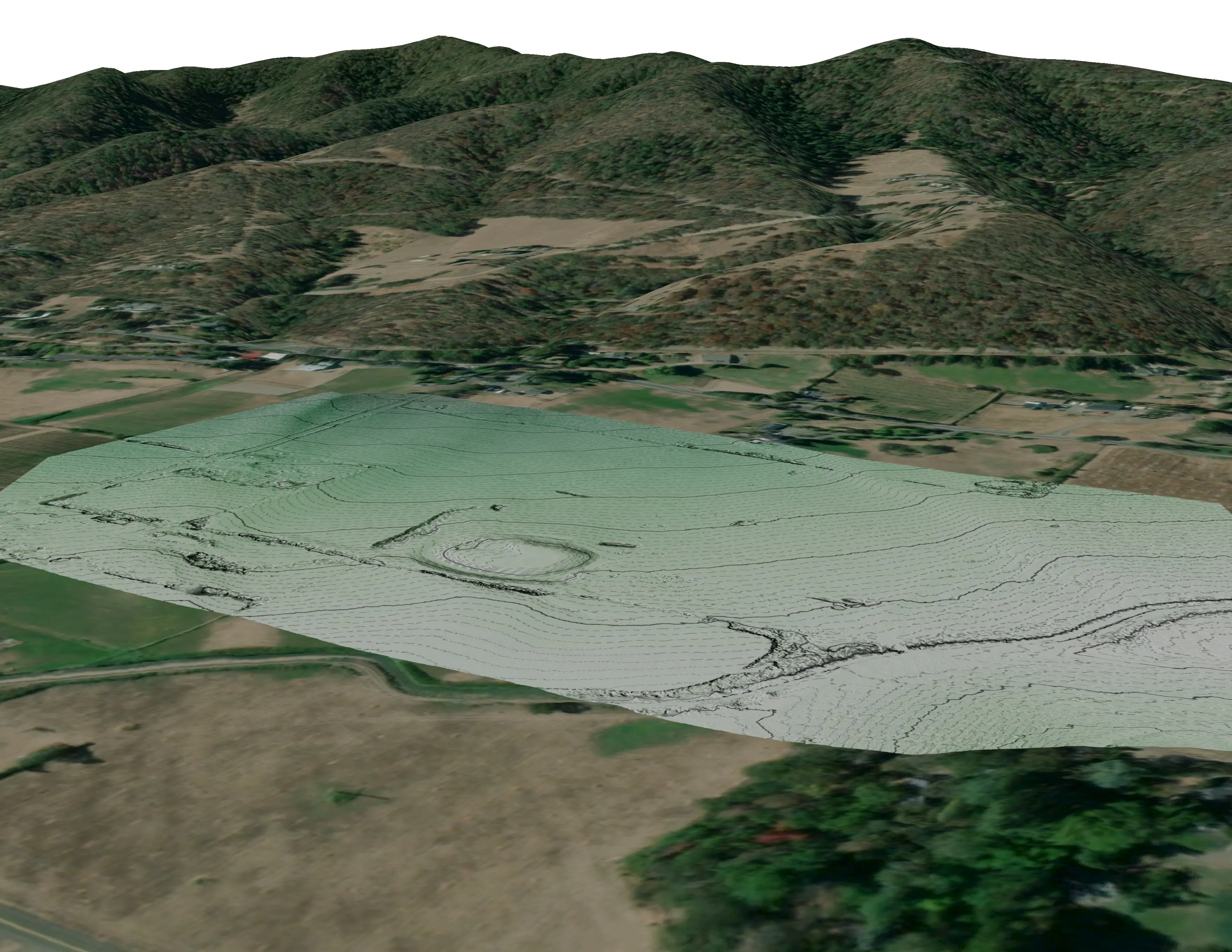
Terrain, ponds, tree mounds, and a site plan drawn on a current ortho of the whole farm.
Read the case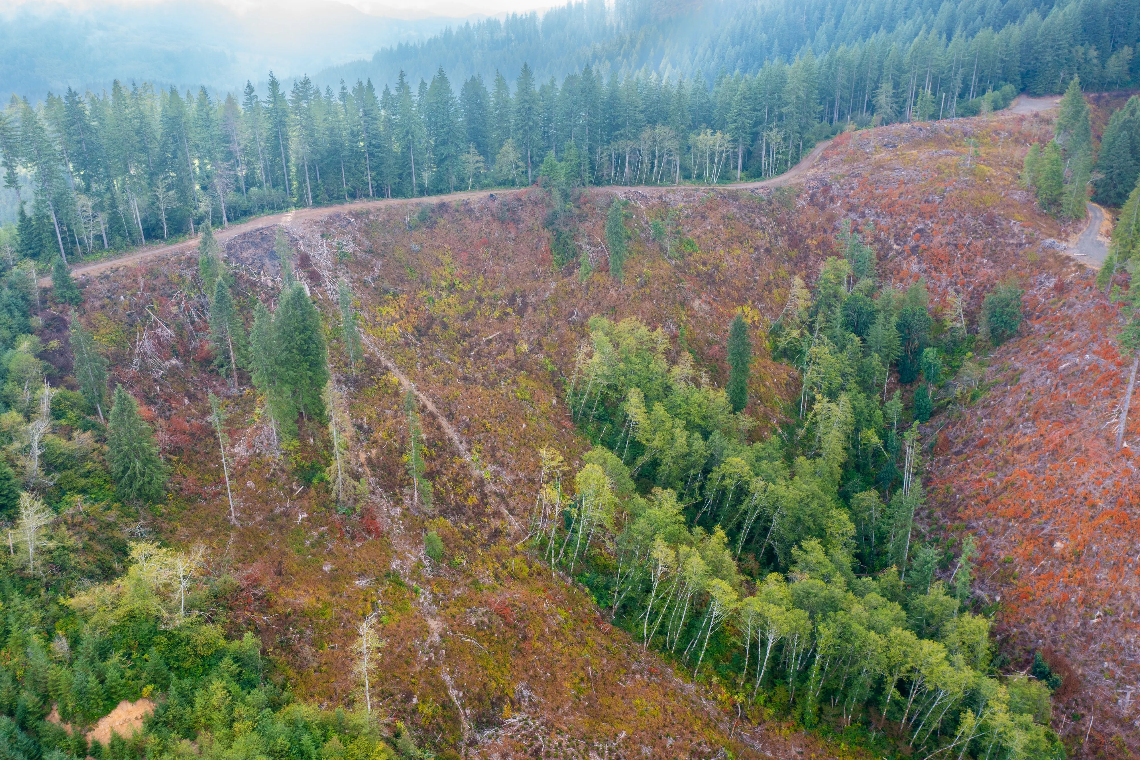
Post harvest monitoring for ODF
Oregon Department of Forestry
The 2023 ODF unit on video and in a StoryMap, with how the LiDAR, multispectral, and RGB products were built.
Read the case
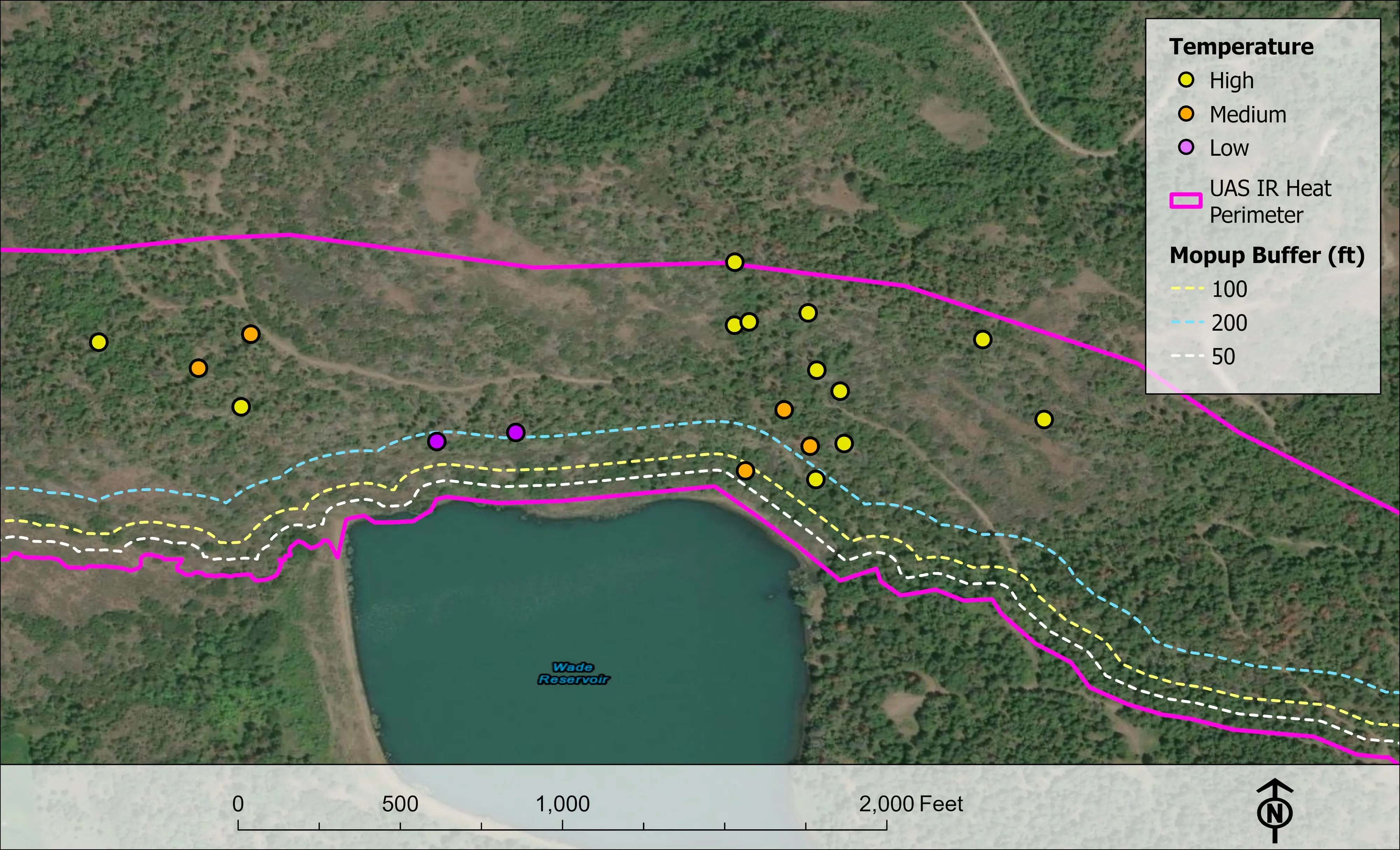
Fielder Mountain, eleven nights as the heat went out
Oregon Department of Forestry
Eleven nights of infrared on one steep fire in August 2026. The heat sources on the map fell from 2,852 on the first night to 58 on the last.
Read the caseThe record
Every project we have published
Forestry and trees
- Downed woody debris, measured from the air
- Finding every Oregon ash before the borer does
- At risk, declining, dieback, dead
- Post harvest monitoring for ODF
- A planting corridor through Phoenix, tree by tree
Rivers and habitat
- Riparian species and cold seeps on the Scott River
- Ten abandoned mines, bare earth under the chaparral
Wildfire fuels and planning
Night infrared on fires
- Night infrared on ODF incidents since 2019
- East Evans Creek, a season inside one fire
- Fielder Mountain, eleven nights as the heat went out
- Woodrat Mountain, from initial attack to the last check
- Interstate 5 at milepost 57, initial attack beside the freeway
- Tyee Ridge Complex
Terrain and site design
Farm planning
Yakima: the block, the stand, the canyon.
An orchard or hop yard to plan, a forest unit to inventory, or a canyon to map after the fire. Tell us where and when and we will build the eastern trip around it.
Email info@roguerecon.net or call 808 298 6290.